Timeline
Bas planned a hike
October 27, 2022
Time
88h30m
Distance
313km
Speed
3.5km/h
Ascent
6,500m
Descent
6,550m
Map data © OpenStreetMap contributors
Bas planned a hike
September 11, 2022
Time
46h02m
Distance
154km
Speed
3.3km/h
Ascent
3,690m
Descent
3,710m
Map data © OpenStreetMap contributors
Bas planned a hike
August 30, 2022
Time
44h19m
Distance
151km
Speed
3.4km/h
Ascent
3,300m
Descent
3,330m
Map data © OpenStreetMap contributors
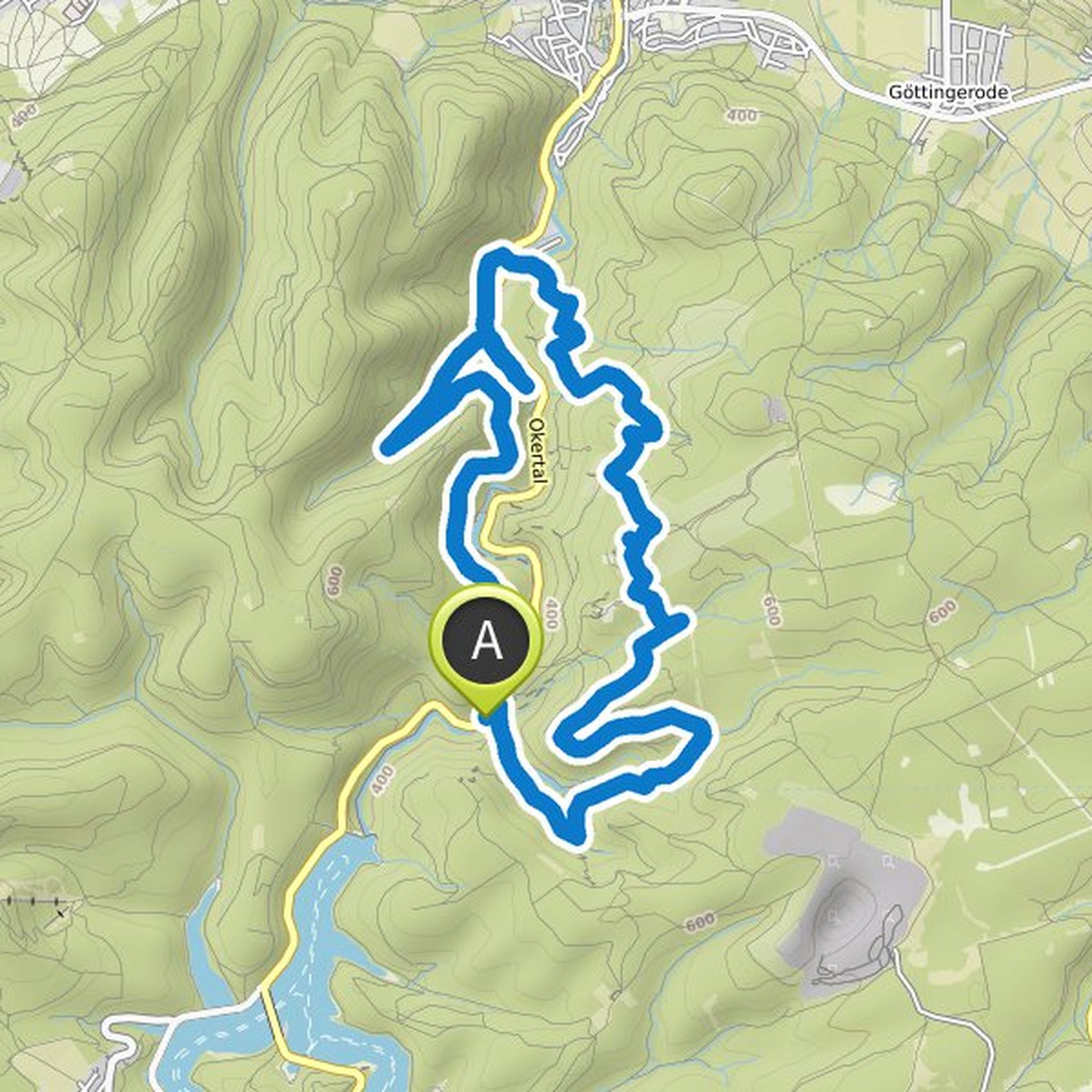
Bas planned a hike
July 4, 2022
Time
4h46m
Distance
17.1km
Speed
3.6km/h
Ascent
300m
Descent
310m
Map data © OpenStreetMap contributors
Bas planned a hike
January 21, 2022
Time
6h20m
Distance
25.0km
Speed
3.9km/h
Ascent
60m
Descent
60m

Map data © OpenStreetMap contributors
Bas planned a hike
January 21, 2022
Time
4h38m
Distance
16.0km
Speed
3.5km/h
Ascent
380m
Descent
380m

Map data © OpenStreetMap contributors
Bas planned a hike
January 21, 2022
Time
4h58m
Distance
16.2km
Speed
3.3km/h
Ascent
510m
Descent
510m
Map data © OpenStreetMap contributors
Bas planned a hike
January 21, 2022
Time
4h52m
Distance
15.8km
Speed
3.3km/h
Ascent
490m
Descent
490m

Map data © OpenStreetMap contributors