Timeline
CCvF planned a hike
August 1, 2023
Time
5h40m
Distance
12.4km
Speed
2.2km/h
Ascent
1,200m
Descent
480m
Map data © OpenStreetMap contributors
CCvF planned a hike
November 4, 2021
Time
3h02m
Distance
10.5km
Speed
3.5km/h
Ascent
250m
Descent
250m
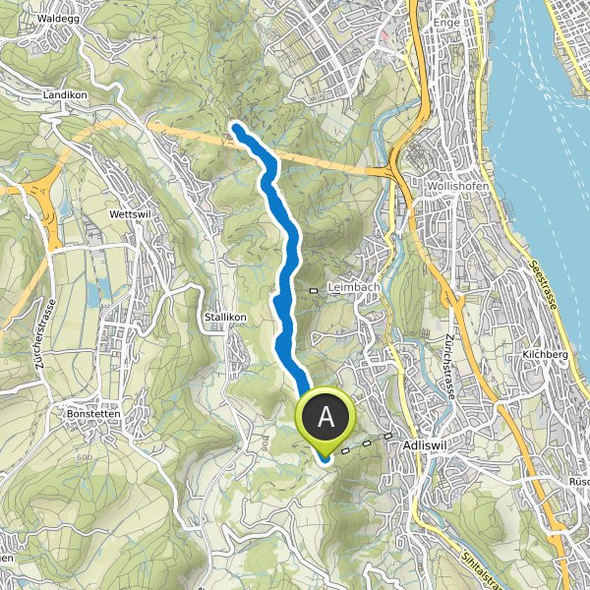
Map data © OpenStreetMap contributors
Ute Sandner and others planned a hike
July 28, 2021
Time
6h00m
Distance
17.3km
Speed
2.9km/h
Ascent
700m
Descent
690m
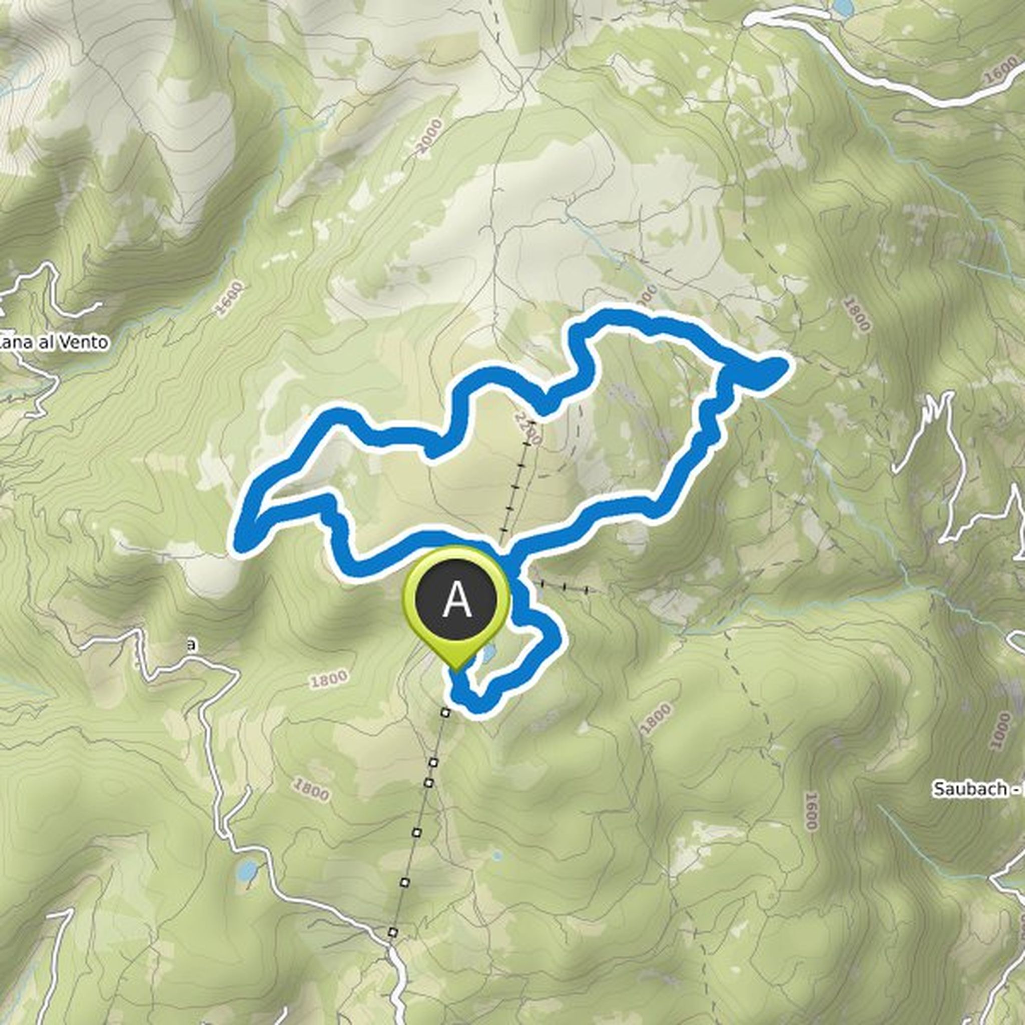
Map data © OpenStreetMap contributors
Time
3h27m
Distance
55.3km
Speed
16.0km/h
Ascent
110m
Descent
140m
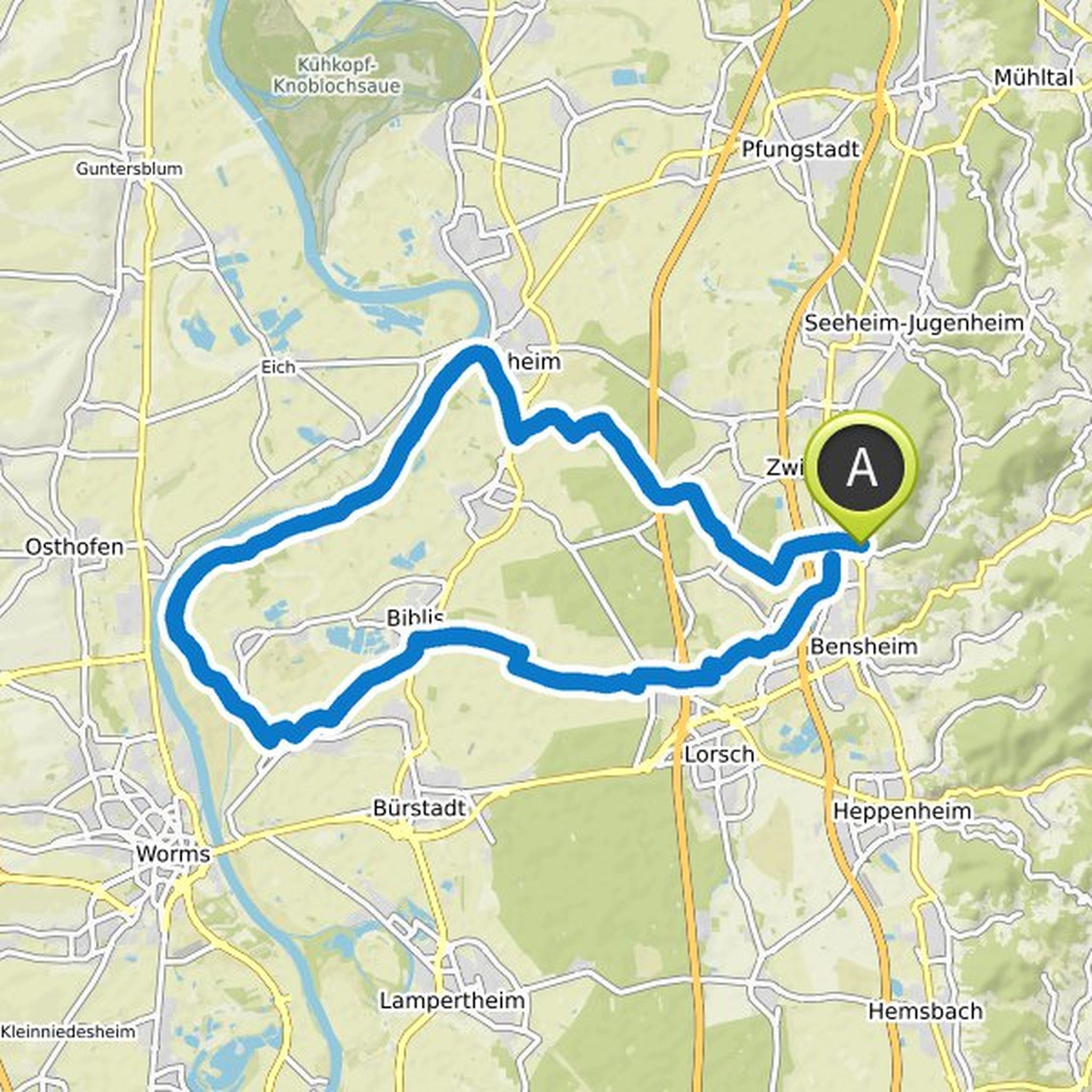
Map data © OpenStreetMap contributors
CCvF planned a hike
June 3, 2021
Time
6h02m
Distance
13.4km
Speed
2.2km/h
Ascent
1,070m
Descent
1,080m
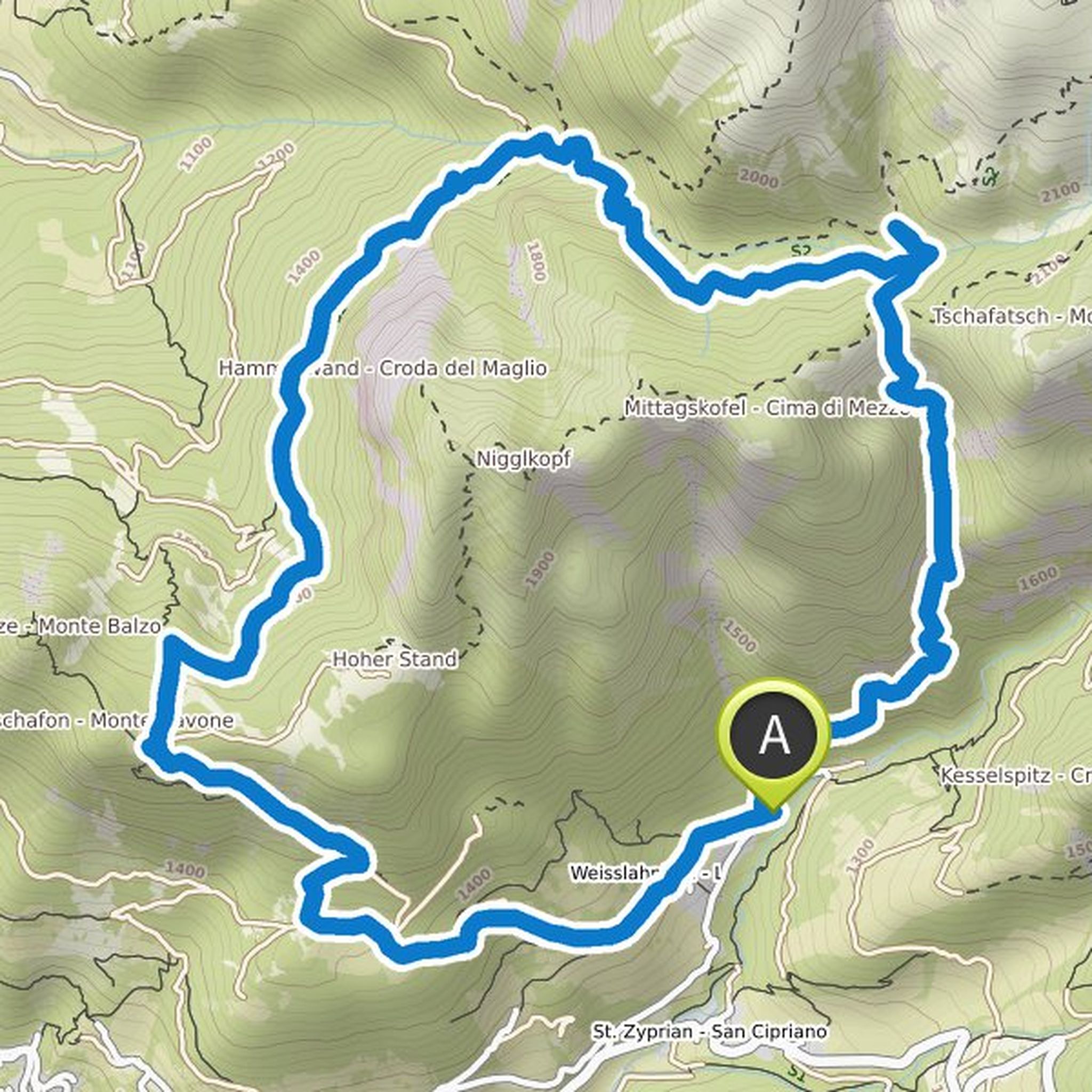
Map data © OpenStreetMap contributors
CCvF planned a bike ride
June 2, 2021
Time
3h23m
Distance
54.4km
Speed
16.1km/h
Ascent
150m
Descent
150m
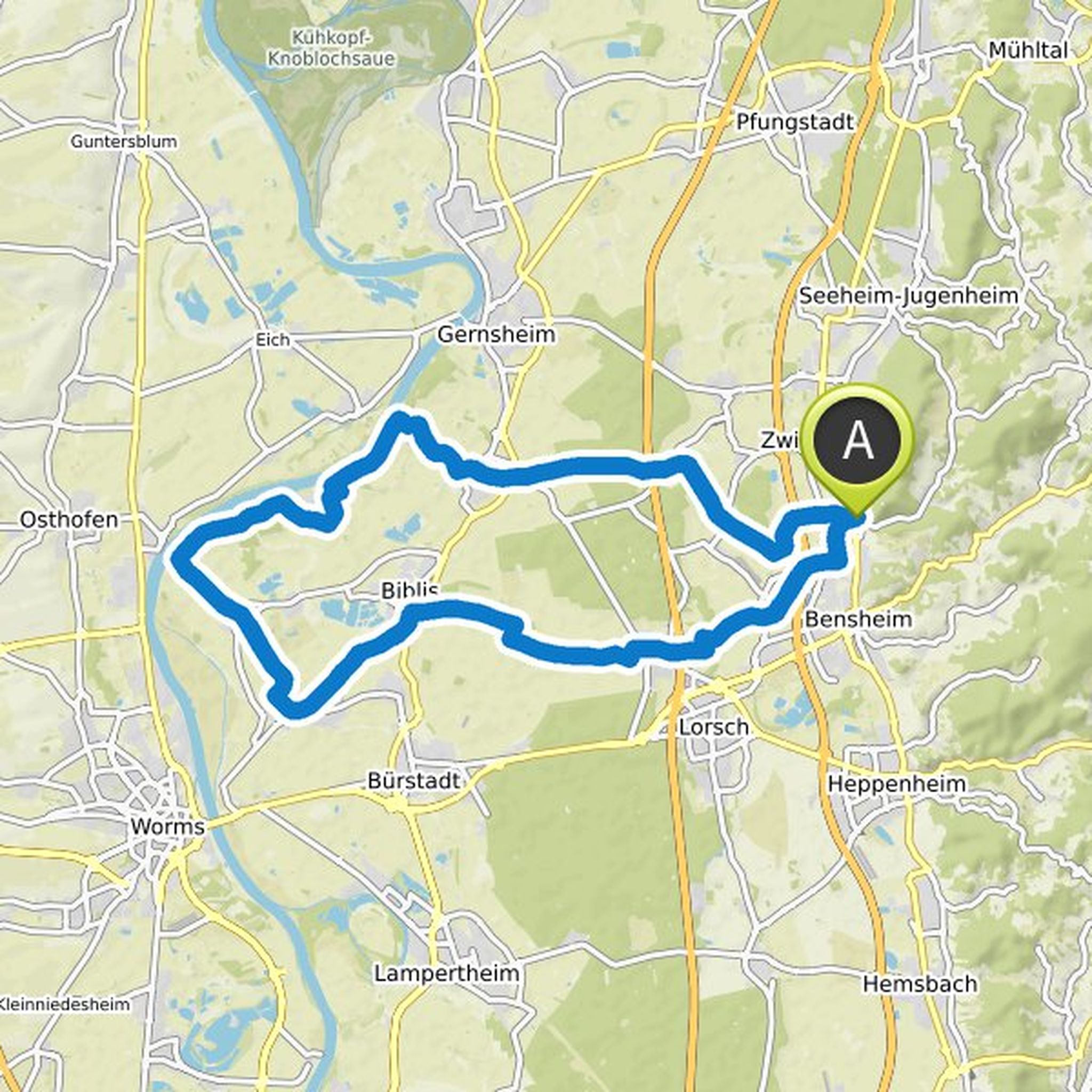
Map data © OpenStreetMap contributors
CCvF and others planned a hike
June 2, 2021
Time
5h26m
Distance
17.7km
Speed
3.3km/h
Ascent
570m
Descent
570m
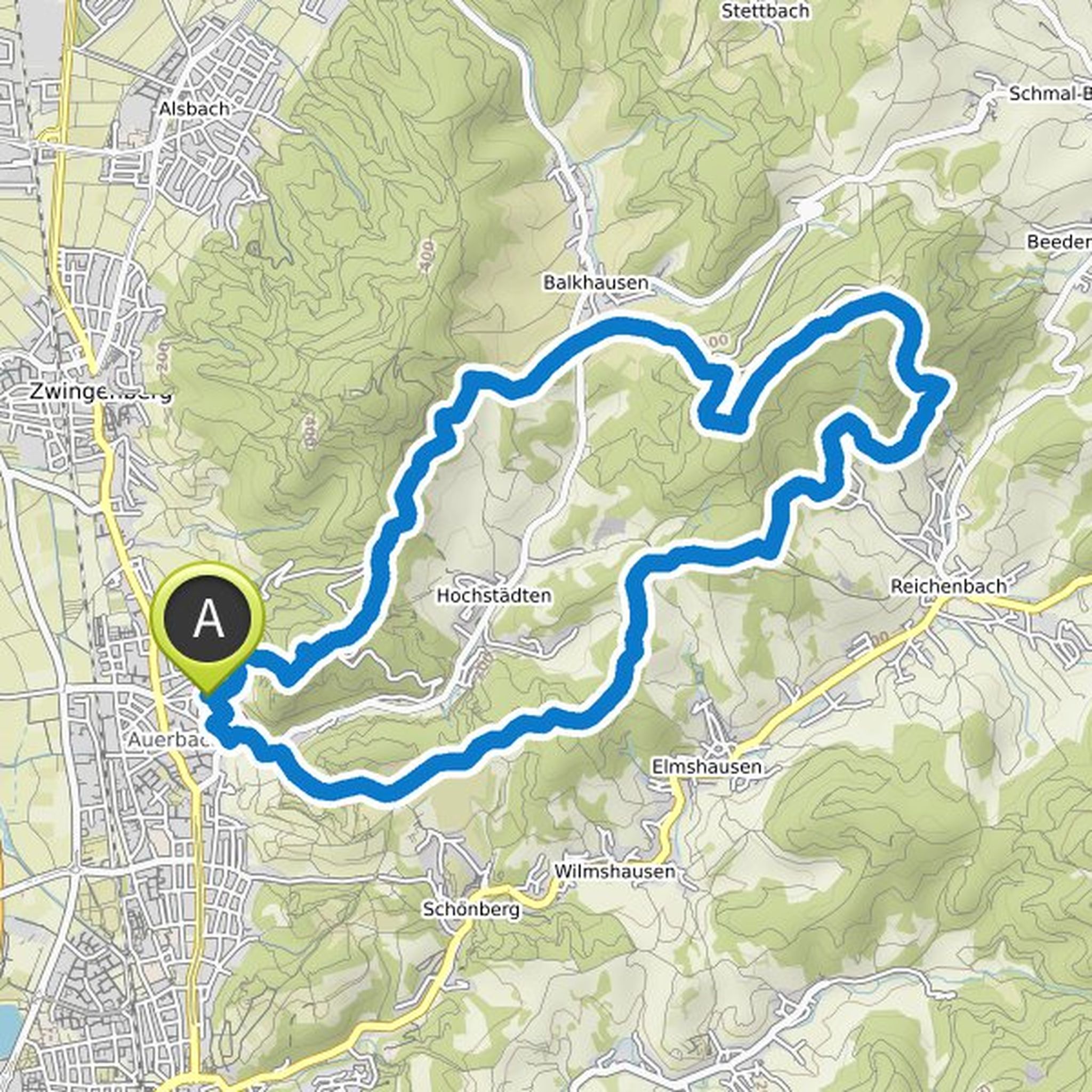
Map data © OpenStreetMap contributors
July 28, 2021
On the panorama path to the Runder Tisch viewpoint. Continue to Unterhorn and on path no. 15 over the Barbianer Almen to the pine oil distillery and on to path no. 4. Past the mystical square of the Pfannenstiel and on to the Rittnerhorn. On path no. 2 down the Rittner alpine meadows to the hay dough
Translated by Google •