Timeline
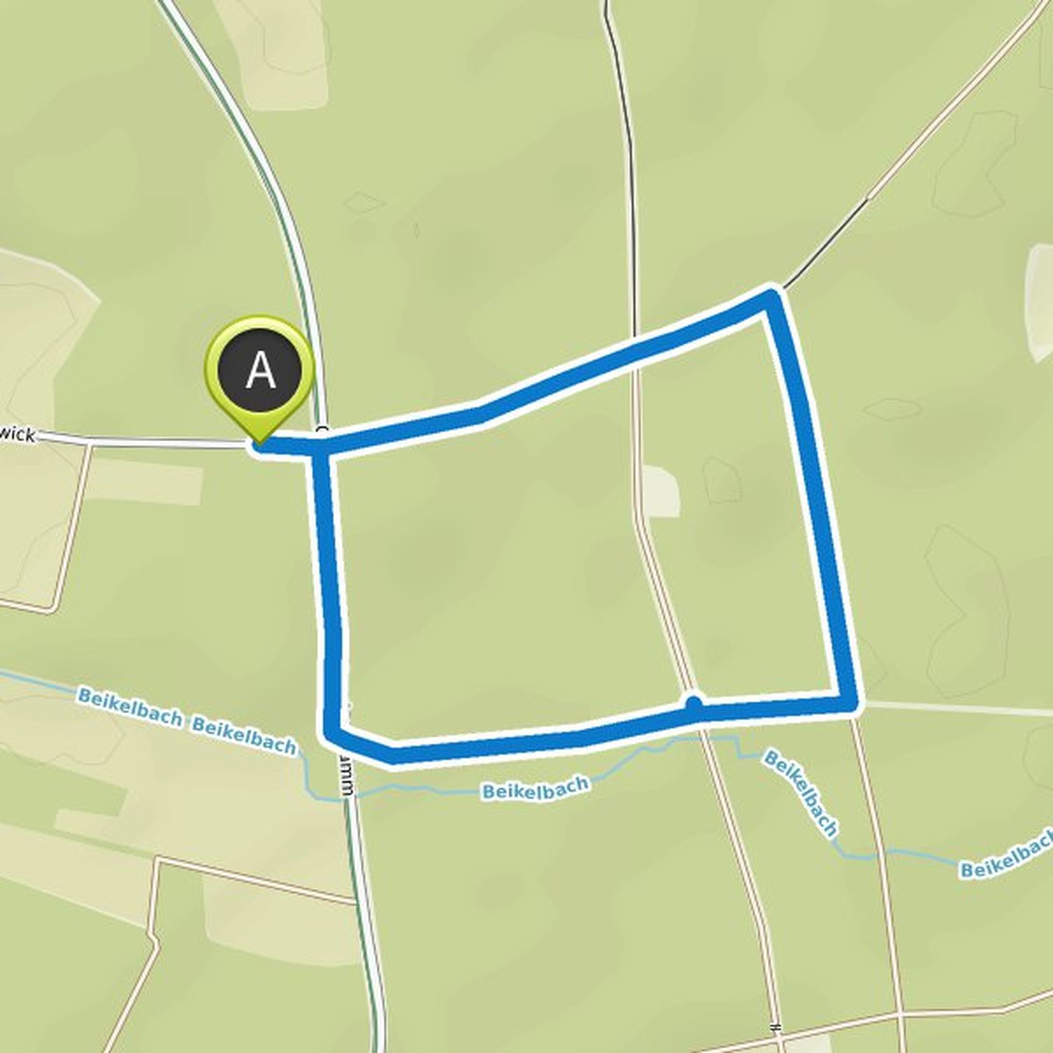
Ca Sch planned a hike
May 29, 2022
Time
1h28m
Distance
5.71km
Speed
3.9km/h
Ascent
20m
Descent
20m
Map data © OpenStreetMap contributors
Ca Sch planned a hike
April 9, 2022
Time
5h50m
Distance
17.5km
Speed
3.0km/h
Ascent
320m
Descent
310m
Map data © OpenStreetMap contributors
Ca Sch planned a hike
August 29, 2021
Time
0h51m
Distance
3.27km
Speed
3.8km/h
Ascent
20m
Descent
20m

Map data © OpenStreetMap contributors
Ca Sch planned a hike
August 29, 2021
Time
0h52m
Distance
3.45km
Speed
4.0km/h
Ascent
0m
Descent
0m

Map data © OpenStreetMap contributors
Ca Sch planned a hike
August 29, 2021
Time
0h48m
Distance
3.13km
Speed
3.9km/h
Ascent
10m
Descent
10m
Map data © OpenStreetMap contributors
Ca Sch planned a hike
August 22, 2021
Time
1h28m
Distance
5.78km
Speed
3.9km/h
Ascent
20m
Descent
20m

Map data © OpenStreetMap contributors
Ca Sch planned a hike
August 16, 2021
Time
49h00m
Distance
154km
Speed
3.2km/h
Ascent
1,430m
Descent
1,390m

Map data © OpenStreetMap contributors
Ins Nirgendwo, bitte!, Taco, and others like this.