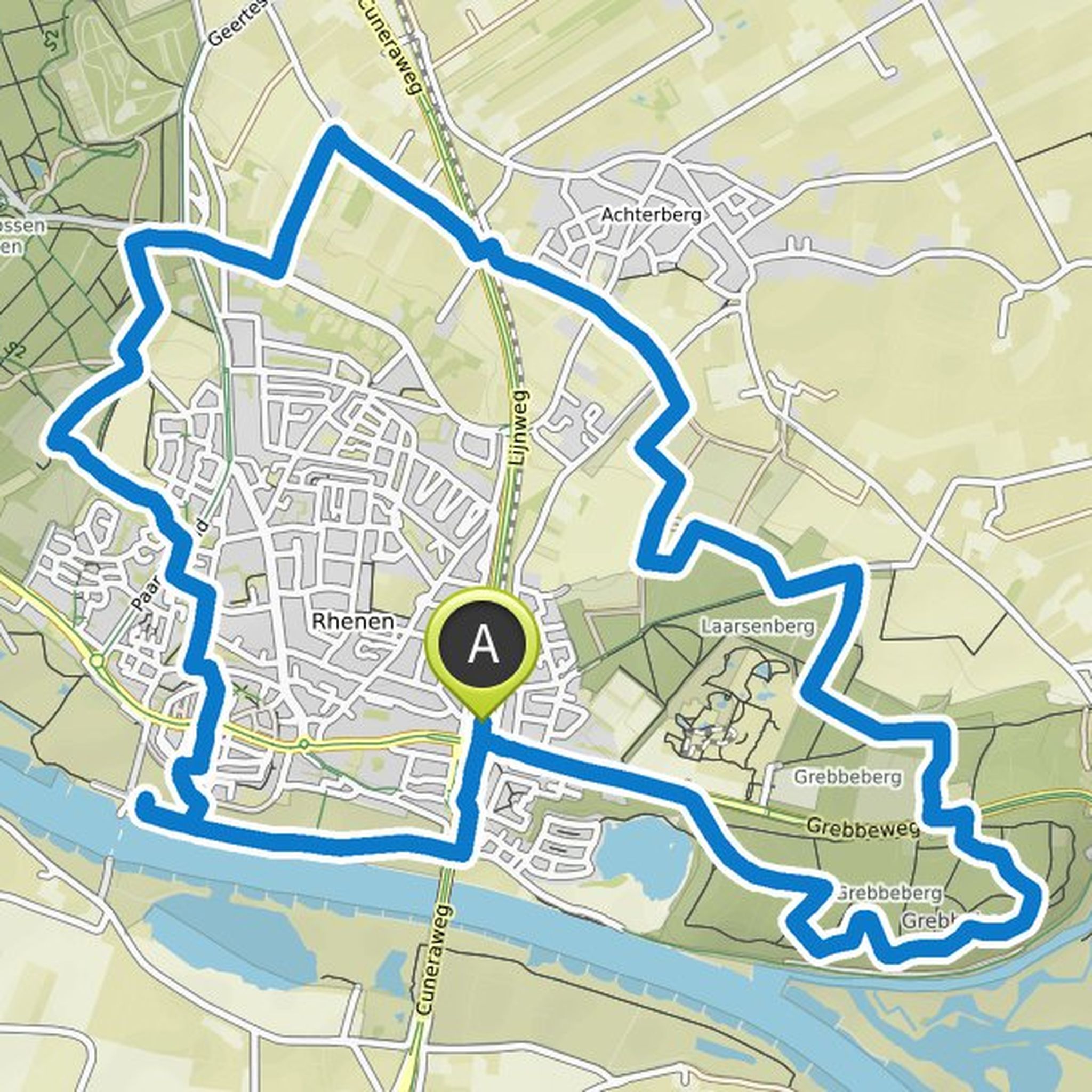
Timeline
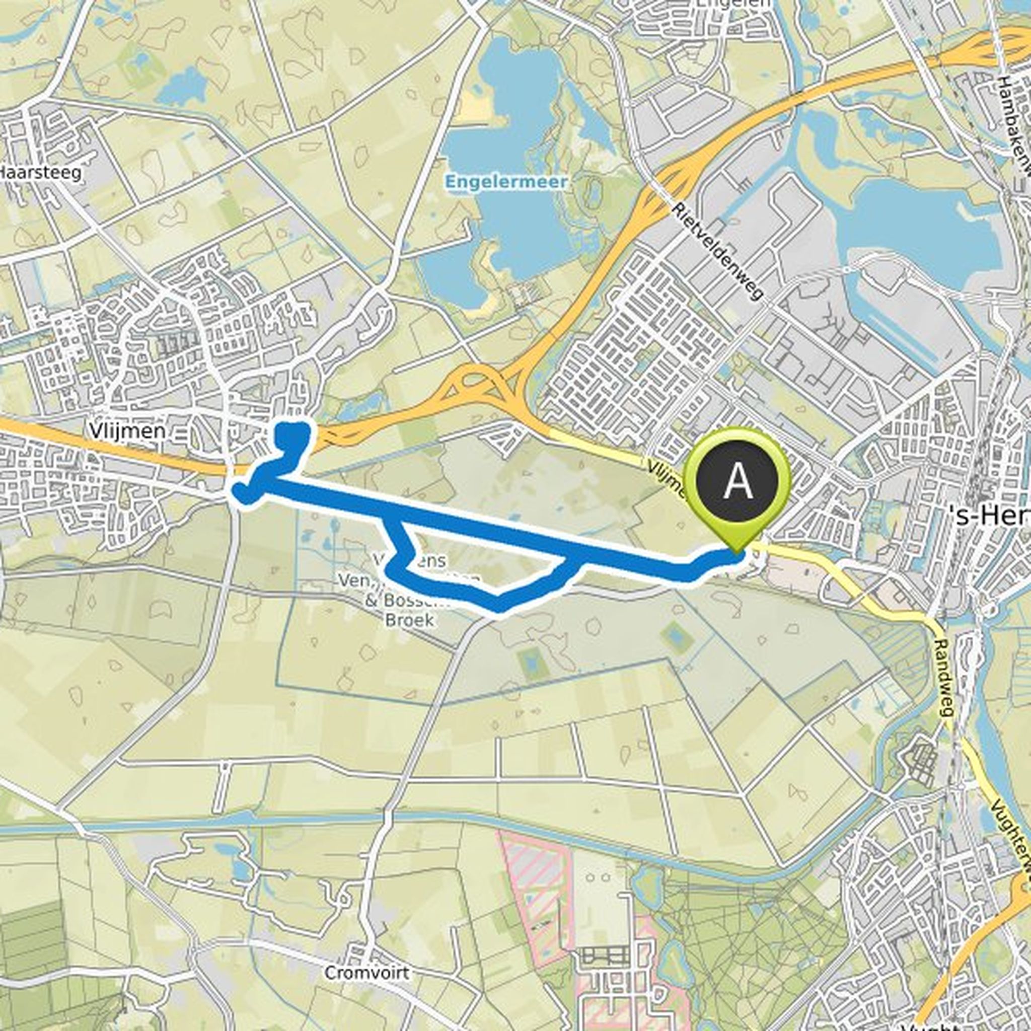
AM planned a hike
January 5, 2023
Time
Distance
Speed
Ascent
Descent
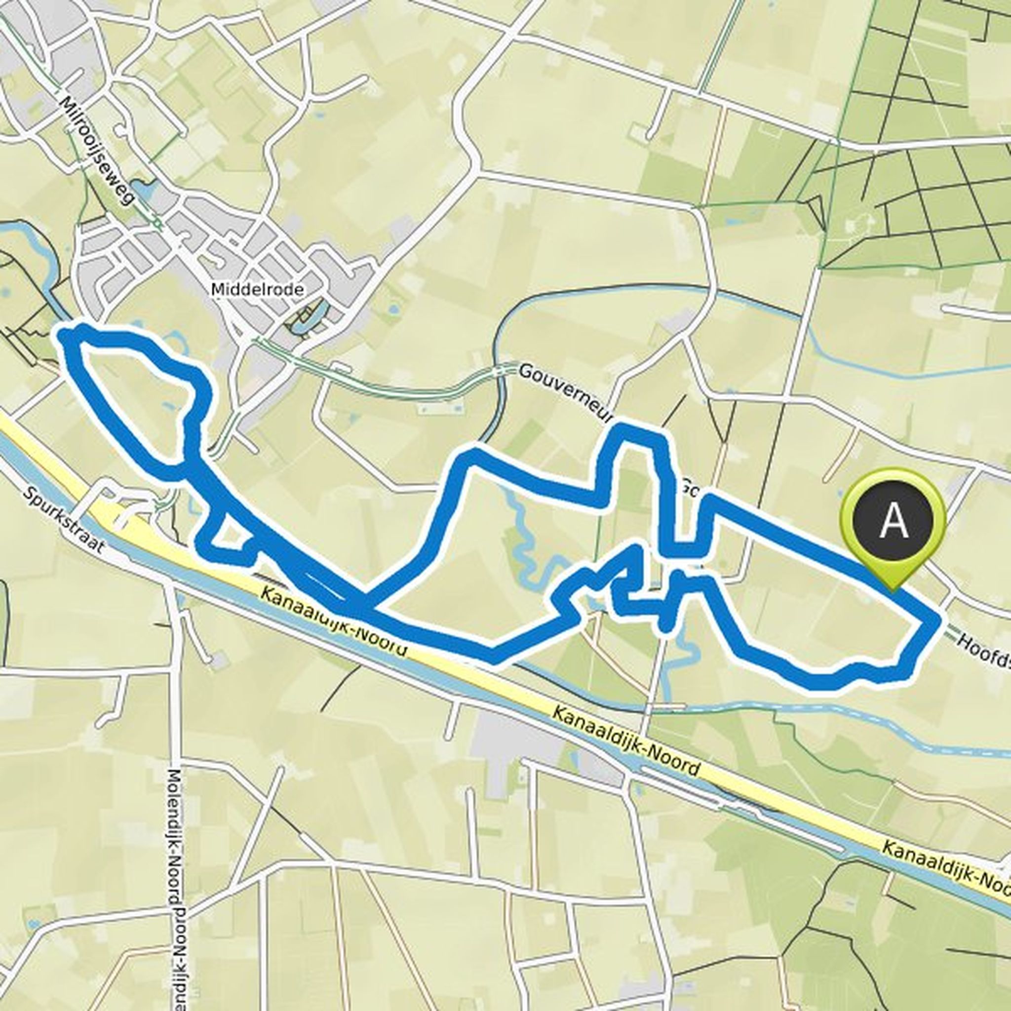
AM planned a hike
February 11, 2022
Time
Distance
Speed
Ascent
Descent

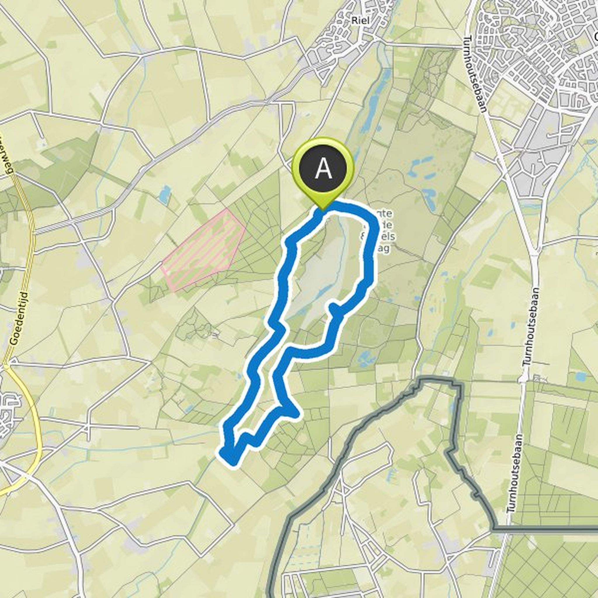
AM planned a hike
February 11, 2022
Time
Distance
Speed
Ascent
Descent
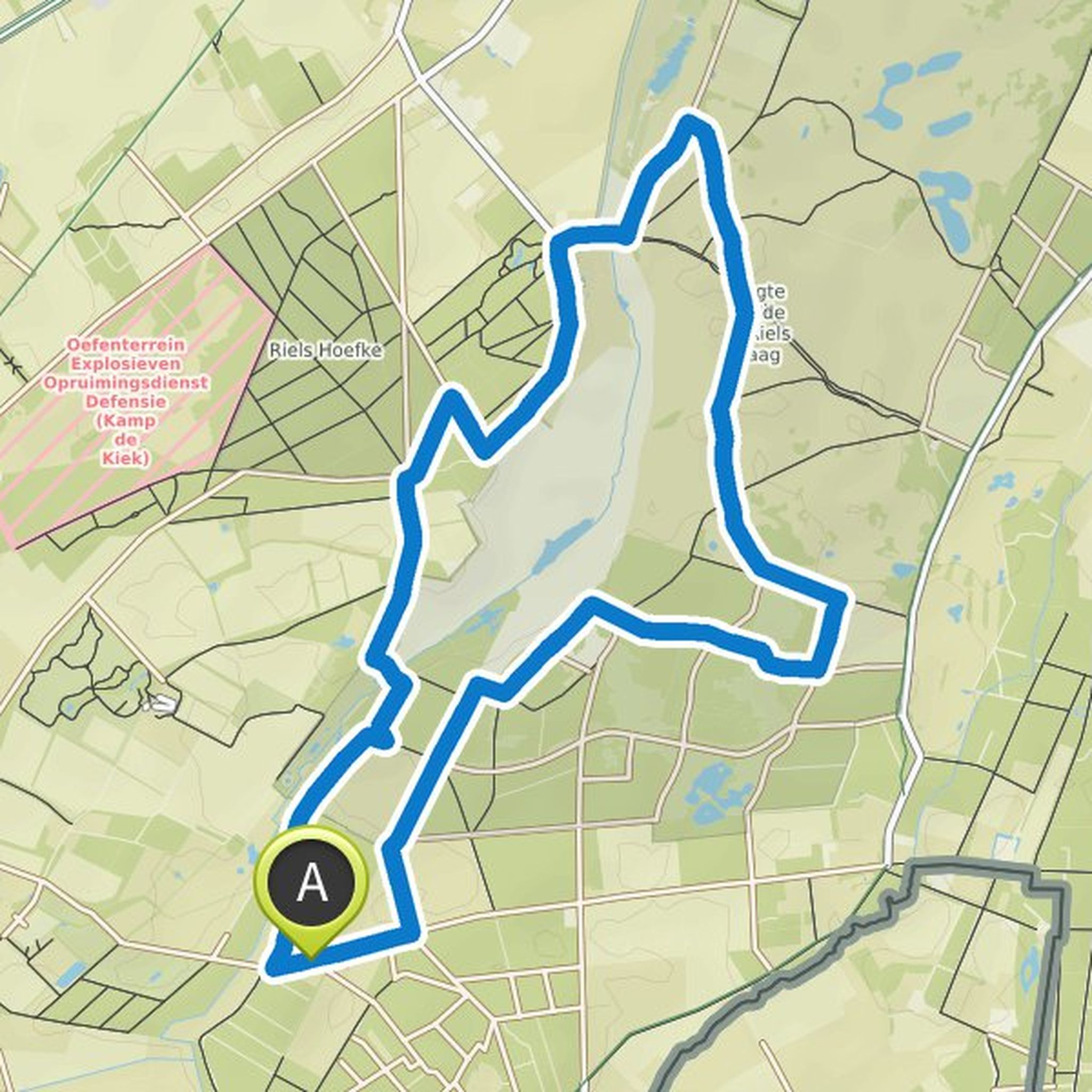
AM planned a hike
February 11, 2022
Time
Distance
Speed
Ascent
Descent

AM planned a hike
January 30, 2022
Time
Distance
Speed
Ascent
Descent
AM planned a hike
January 30, 2022
Time
Distance
Speed
Ascent
Descent

AM planned a hike
January 30, 2022
Time
Distance
Speed
Ascent
Descent
AM planned a hike
January 14, 2022
Time
Distance
Speed
Ascent
Descent
AM planned a hike
December 17, 2021
Time
Distance
Speed
Ascent
Descent

AM planned a hike
December 10, 2021
Time
Distance
Speed
Ascent
Descent
AM planned a hike
November 29, 2021
Time
Distance
Speed
Ascent
Descent

AM planned a hike
November 29, 2021
Time
Distance
Speed
Ascent
Descent

AM planned a hike
November 29, 2021
Time
Distance
Speed
Ascent
Descent

AM planned a hike
November 23, 2021
Time
Distance
Speed
Ascent
Descent

AM planned a hike
November 23, 2021
Time
Distance
Speed
Ascent
Descent
