Timeline
Stefan Temborius and others planned a road ride
February 14, 2026
Time
Distance
Speed
Ascent
Descent
Atthei planned a bike ride
February 9, 2025
Time
Distance
Speed
Ascent
Descent
Jan and others planned a road ride
May 22, 2022
Time
Distance
Speed
Ascent
Descent
Atthei planned a road ride
May 3, 2022
Time
Distance
Speed
Ascent
Descent
Atthei and others planned a road ride
May 3, 2022
Time
Distance
Speed
Ascent
Descent
Atthei planned a hike
June 26, 2021
Time
Distance
Speed
Ascent
Descent

Atthei and Erna Müller planned a hike
October 17, 2020
Time
Distance
Speed
Ascent
Descent
Atthei planned a road ride
August 24, 2020
Time
Distance
Speed
Ascent
Descent

Atthei planned a bike ride
May 27, 2020
Time
Distance
Speed
Ascent
Descent
Time
Distance
Speed
Ascent
Descent

Time
Distance
Speed
Ascent
Descent

May 11, 2020
Looks a bit like we want to avoid everything that is beautiful in Havellland.
Translated by Google •
Time
Distance
Speed
Ascent
Descent

Atthei planned a road ride
April 14, 2020
Time
Distance
Speed
Ascent
Descent

Atthei planned a hike
April 5, 2020
Time
Distance
Speed
Ascent
Descent

Atthei planned a bike ride
January 5, 2020
Time
Distance
Speed
Ascent
Descent

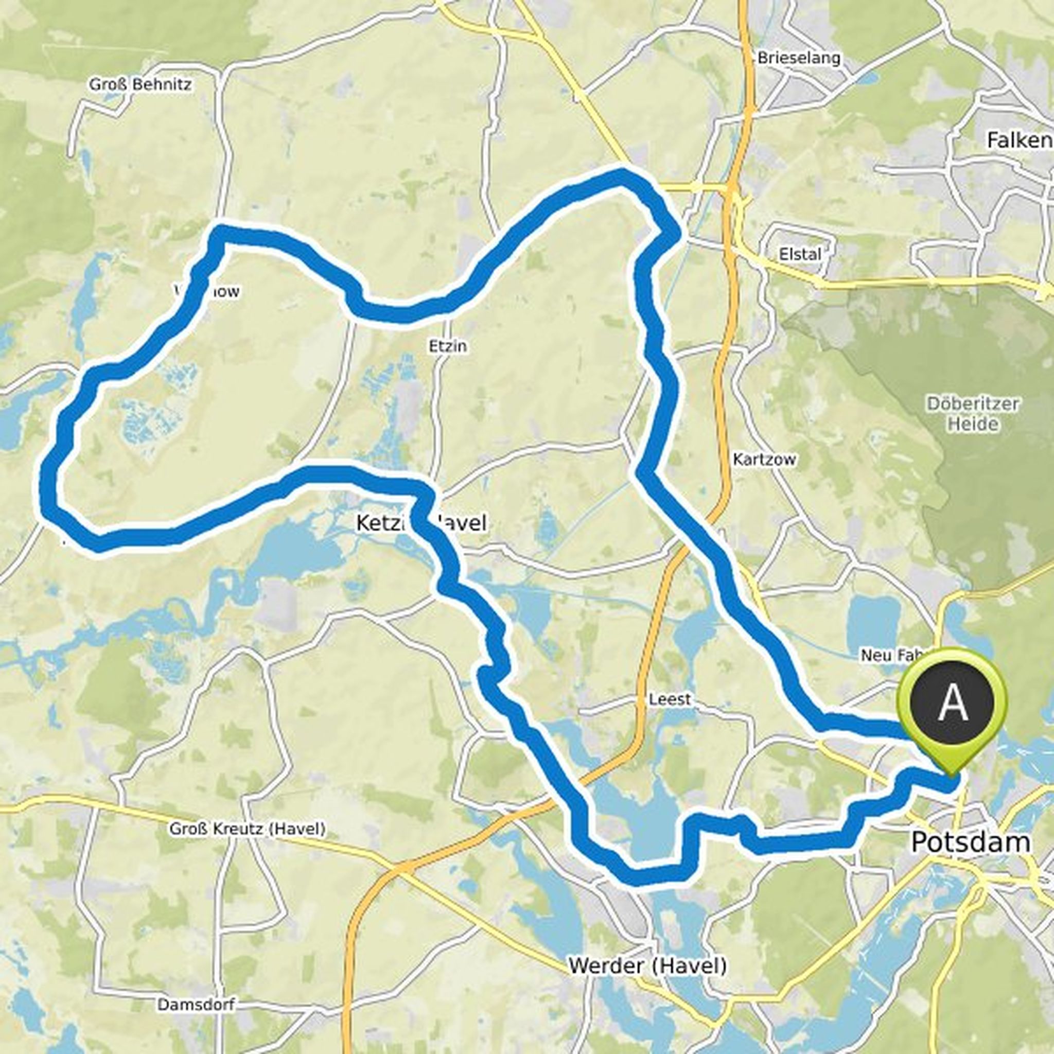
May 14, 2020
So, same route without chaos ... it could work and it is almost 200km from Glinicker Bridge, so a little more for you. From Dalgow-Döberitz you could continue towards Berlin and save yourself the last KM in Potsdam.
Translated by Google •