Timeline
Maximilian Schratzenstaller planned a hike
May 19, 2022
Time
1h52m
Distance
6.89km
Speed
3.7km/h
Ascent
100m
Descent
100m
Map data © OpenStreetMap contributors
Maximilian Schratzenstaller planned a hike
January 14, 2022
Time
4h53m
Distance
9.08km
Speed
1.9km/h
Ascent
870m
Descent
870m
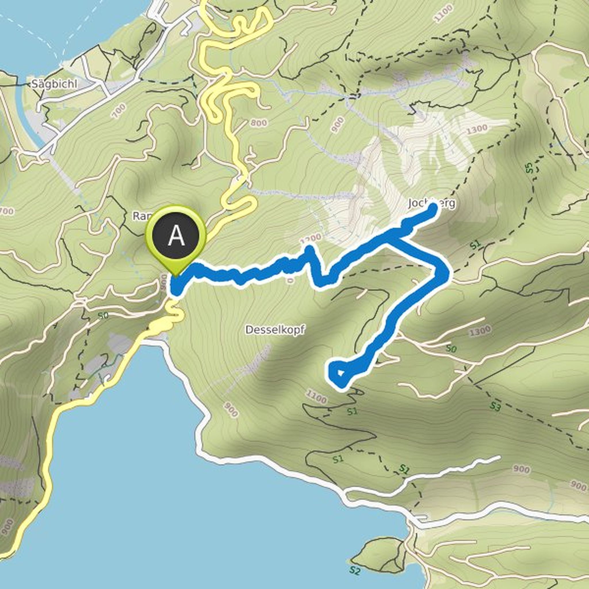
Map data © OpenStreetMap contributors
Maximilian Schratzenstaller planned a hike
December 17, 2021
Time
2h36m
Distance
8.31km
Speed
3.2km/h
Ascent
300m
Descent
310m

Map data © OpenStreetMap contributors
Maximilian Schratzenstaller planned a hike
October 15, 2021
Time
1h36m
Distance
3.21km
Speed
2.0km/h
Ascent
240m
Descent
250m

Map data © OpenStreetMap contributors
Maximilian Schratzenstaller planned a hike
October 8, 2021
Time
3h52m
Distance
12.2km
Speed
3.1km/h
Ascent
480m
Descent
480m

Map data © OpenStreetMap contributors
Maximilian Schratzenstaller planned a hike
June 1, 2021
Time
0h52m
Distance
3.24km
Speed
3.8km/h
Ascent
30m
Descent
30m

Map data © OpenStreetMap contributors