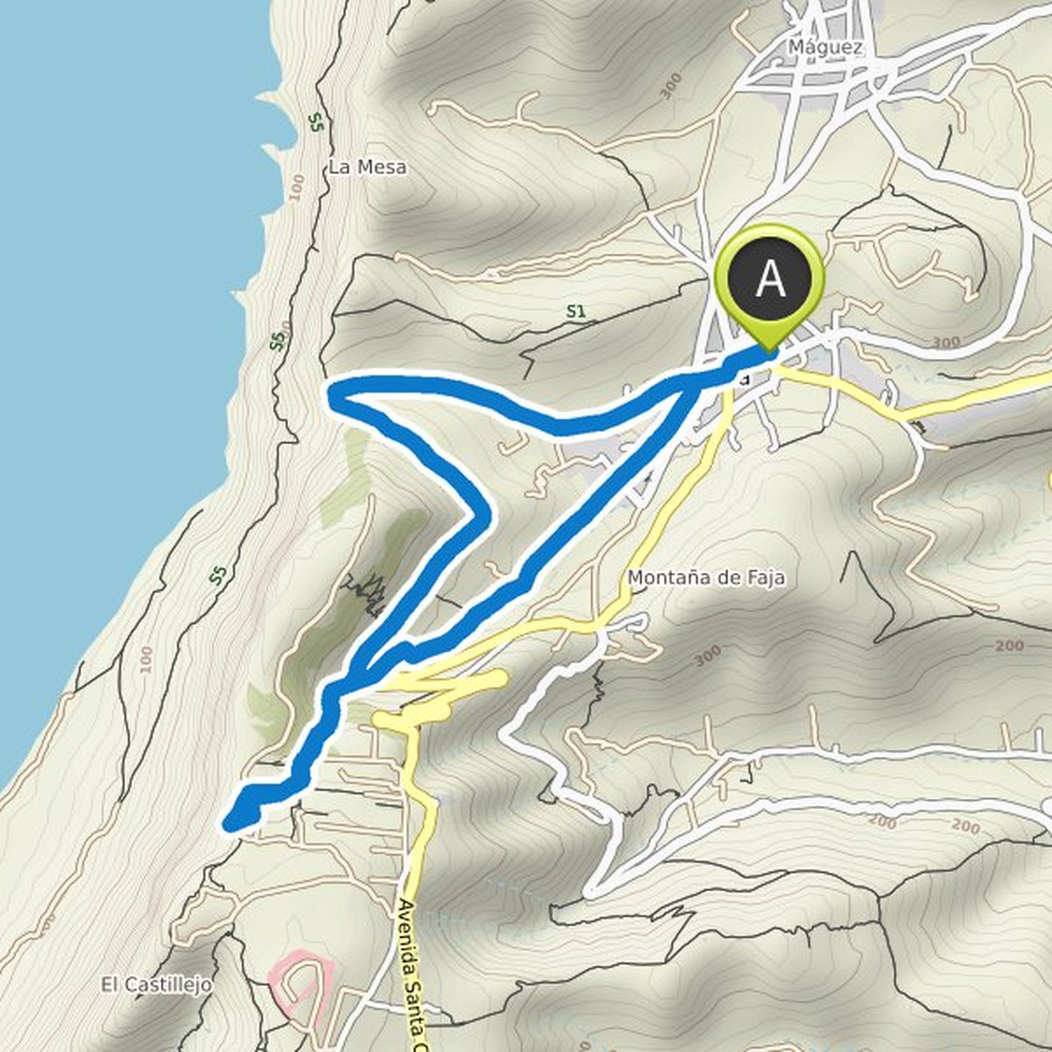
Timeline
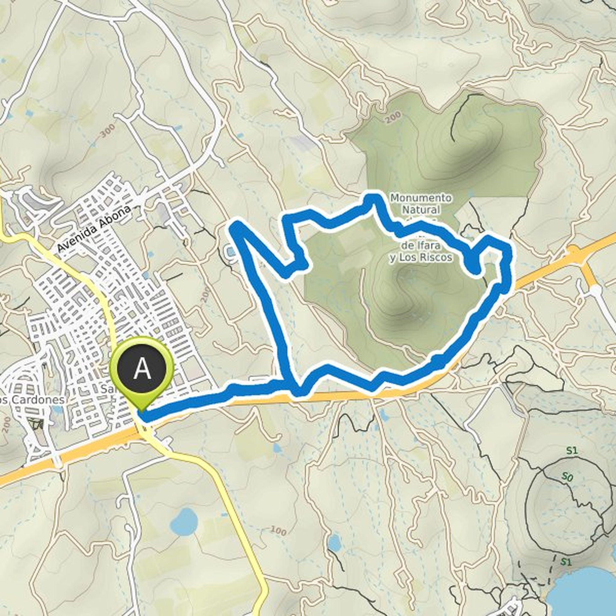
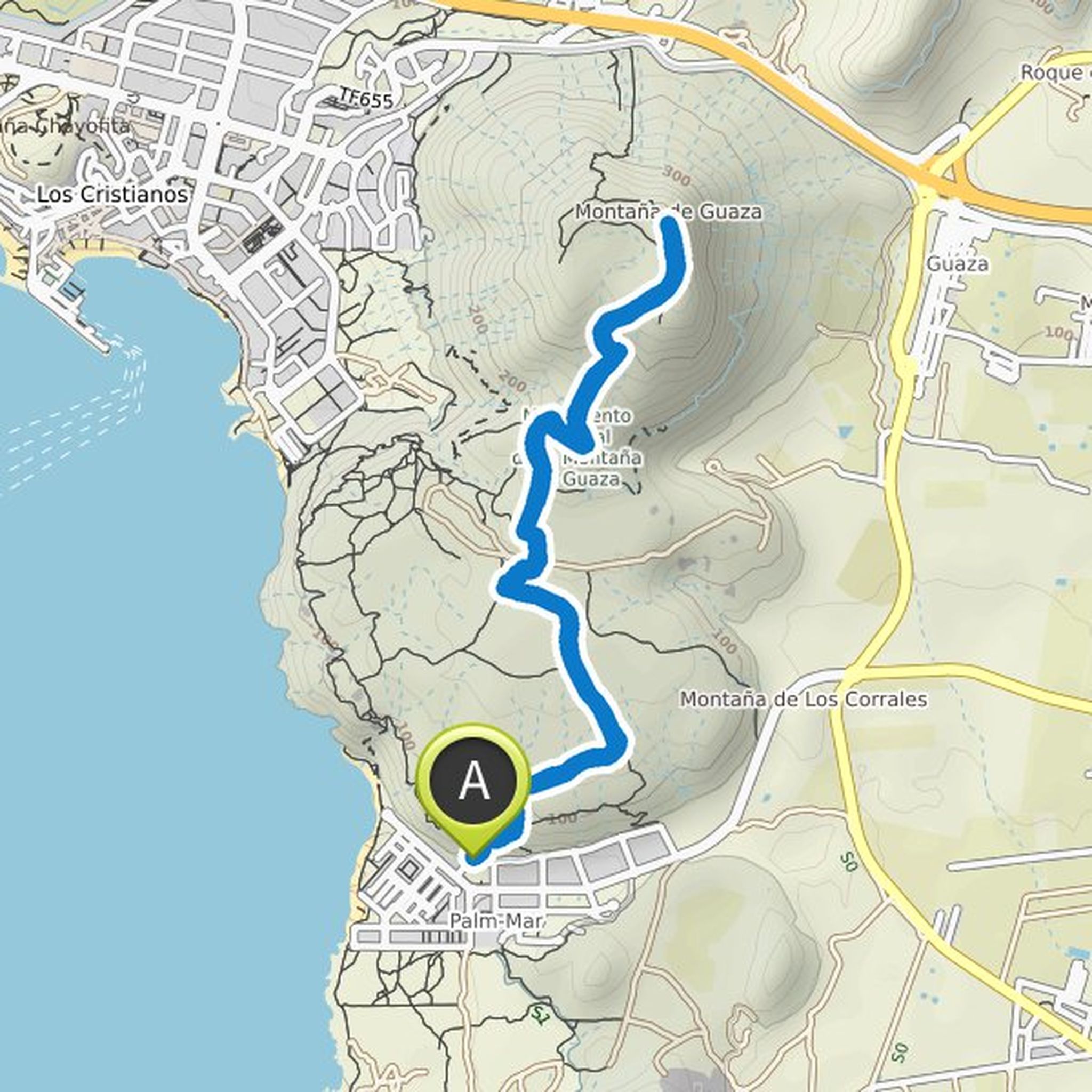
Ines Beyer planned a hike
February 19, 2022
Time
Distance
Speed
Ascent
Descent
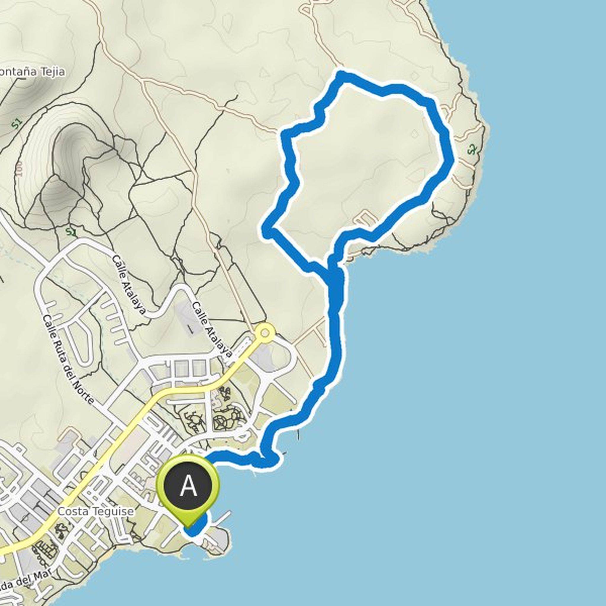
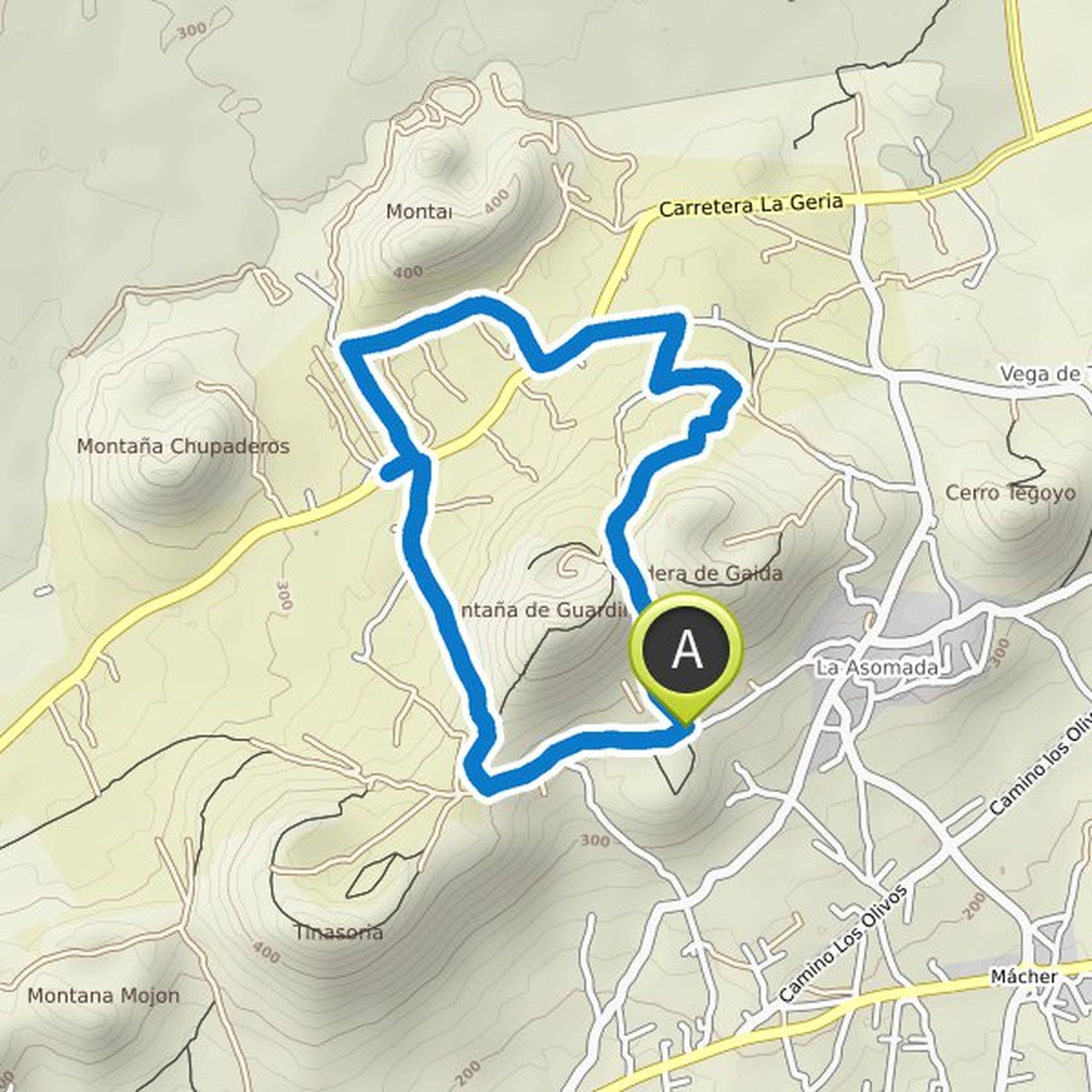
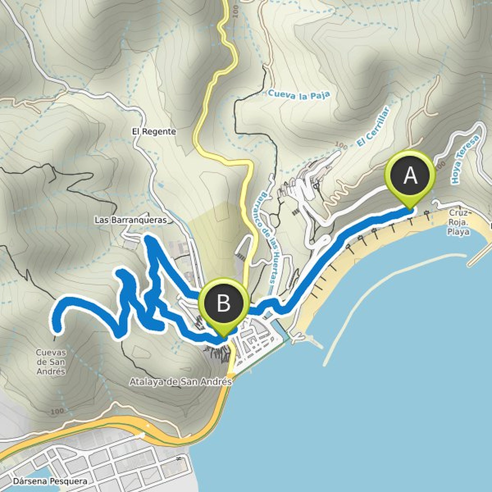
Ines Beyer planned a hike
February 19, 2022
Time
Distance
Speed
Ascent
Descent
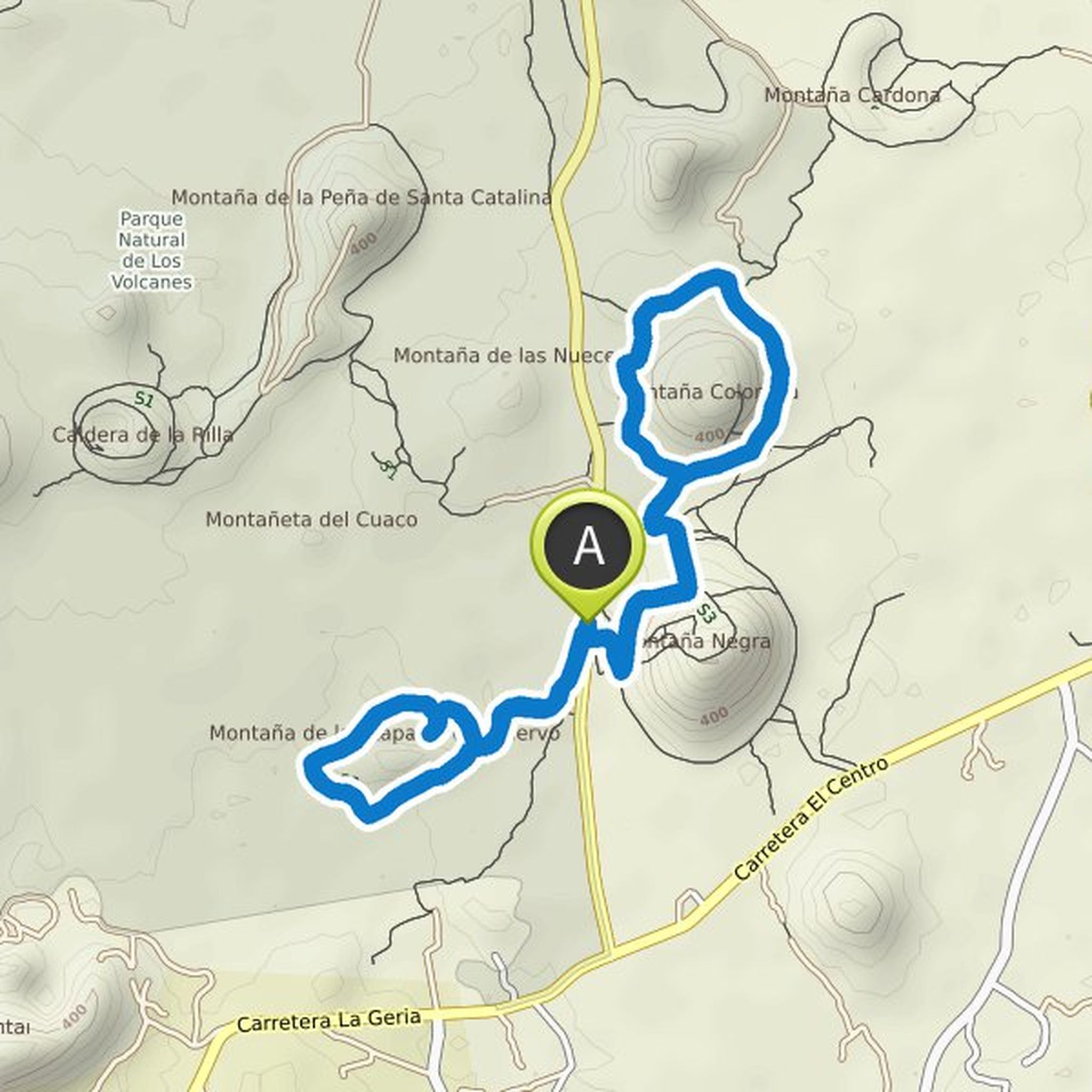
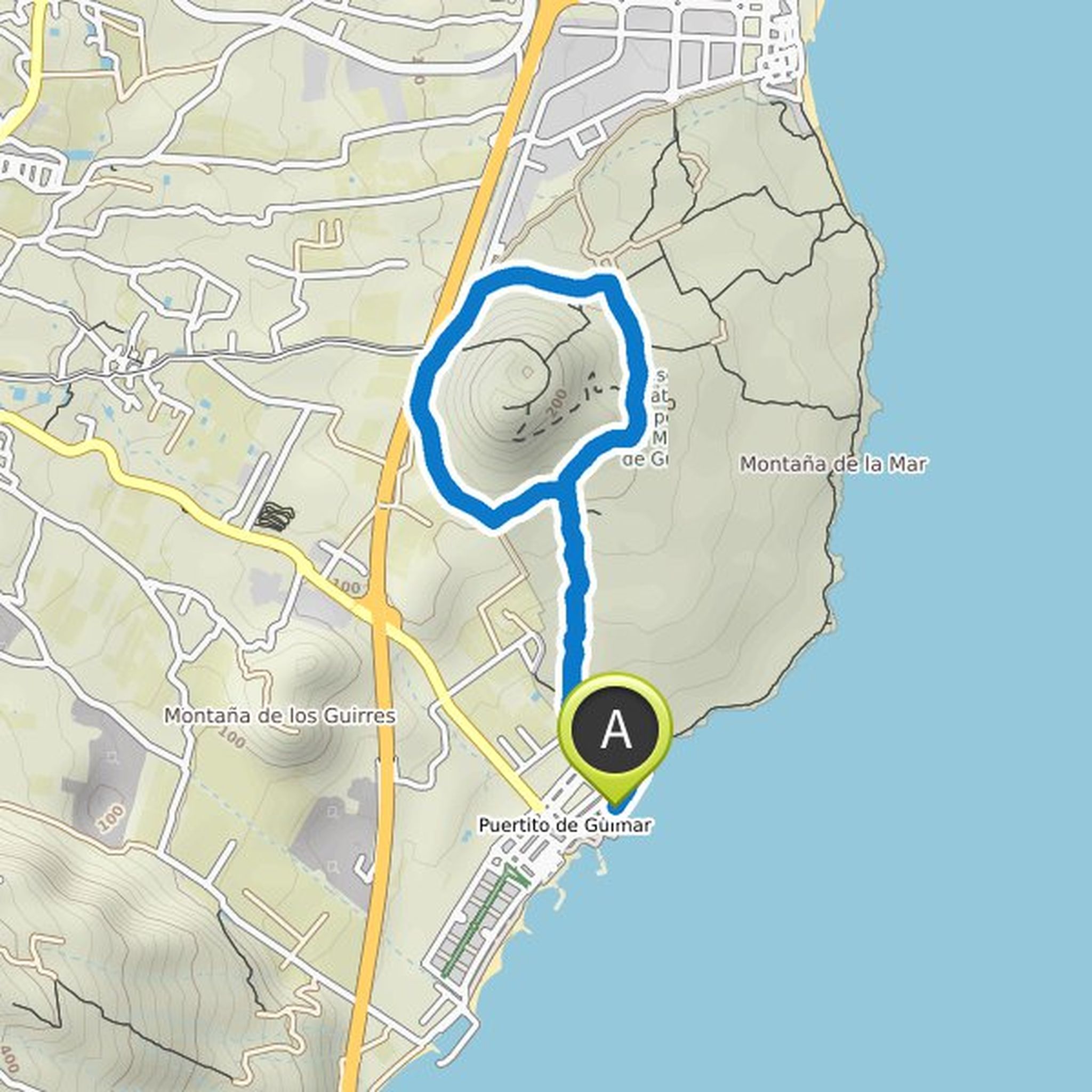
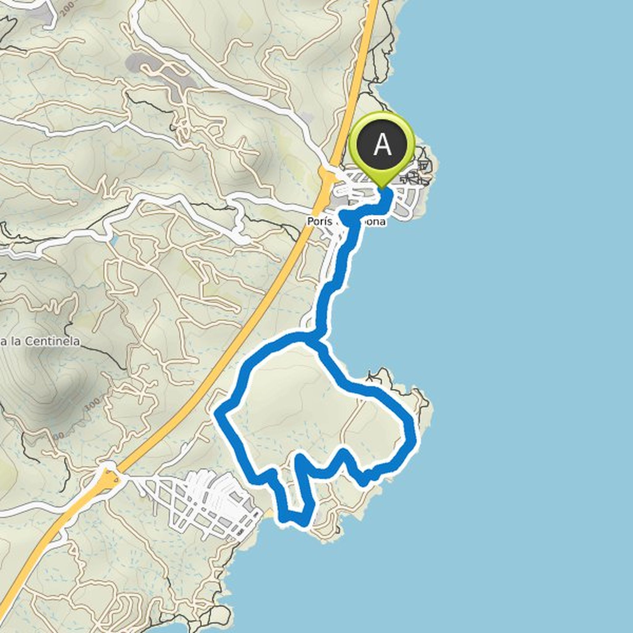
Ines Beyer planned a hike
February 19, 2022
Time
Distance
Speed
Ascent
Descent
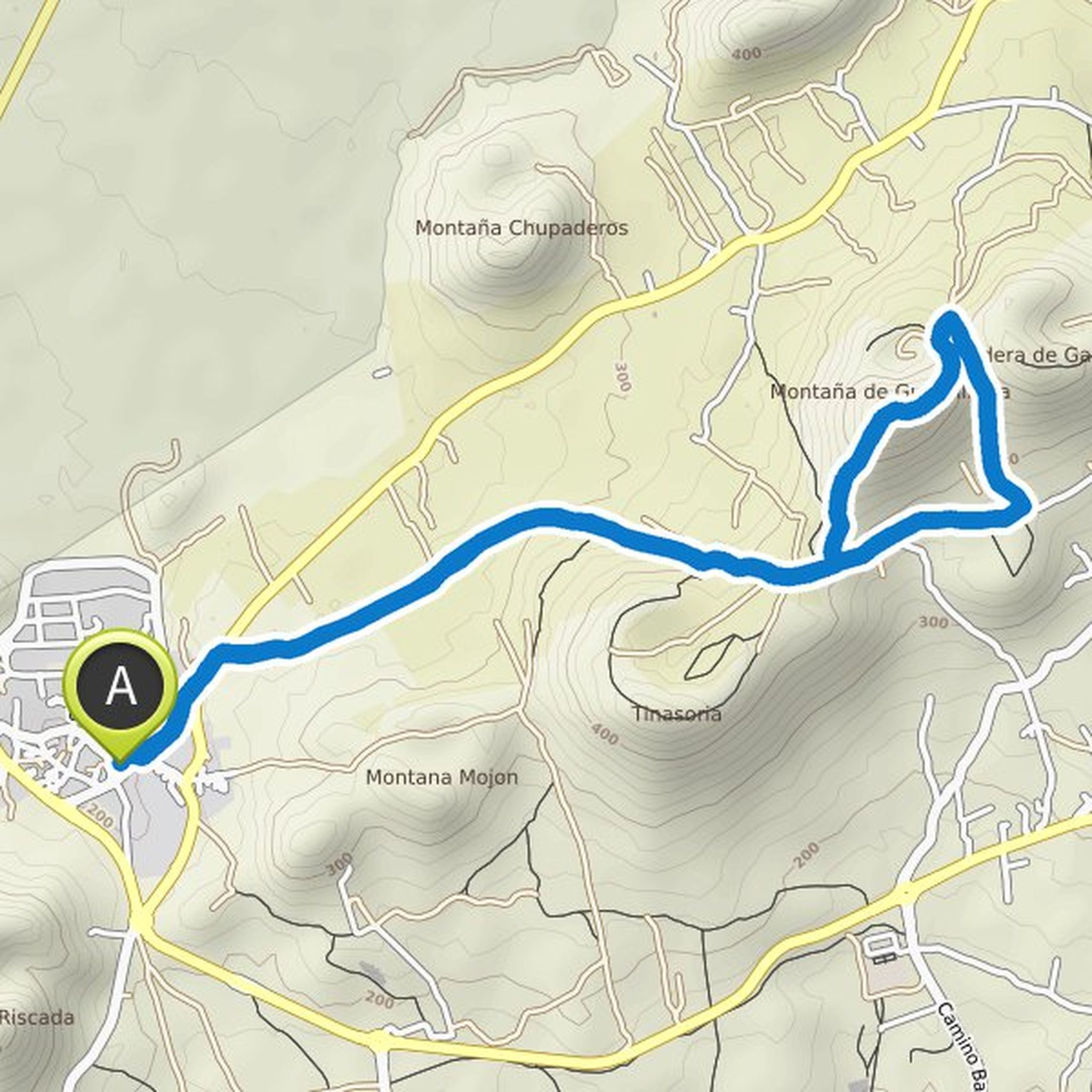
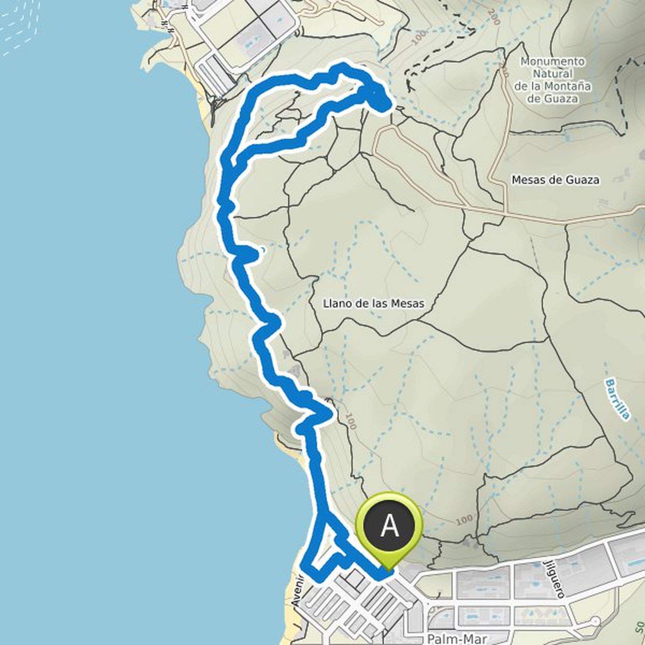
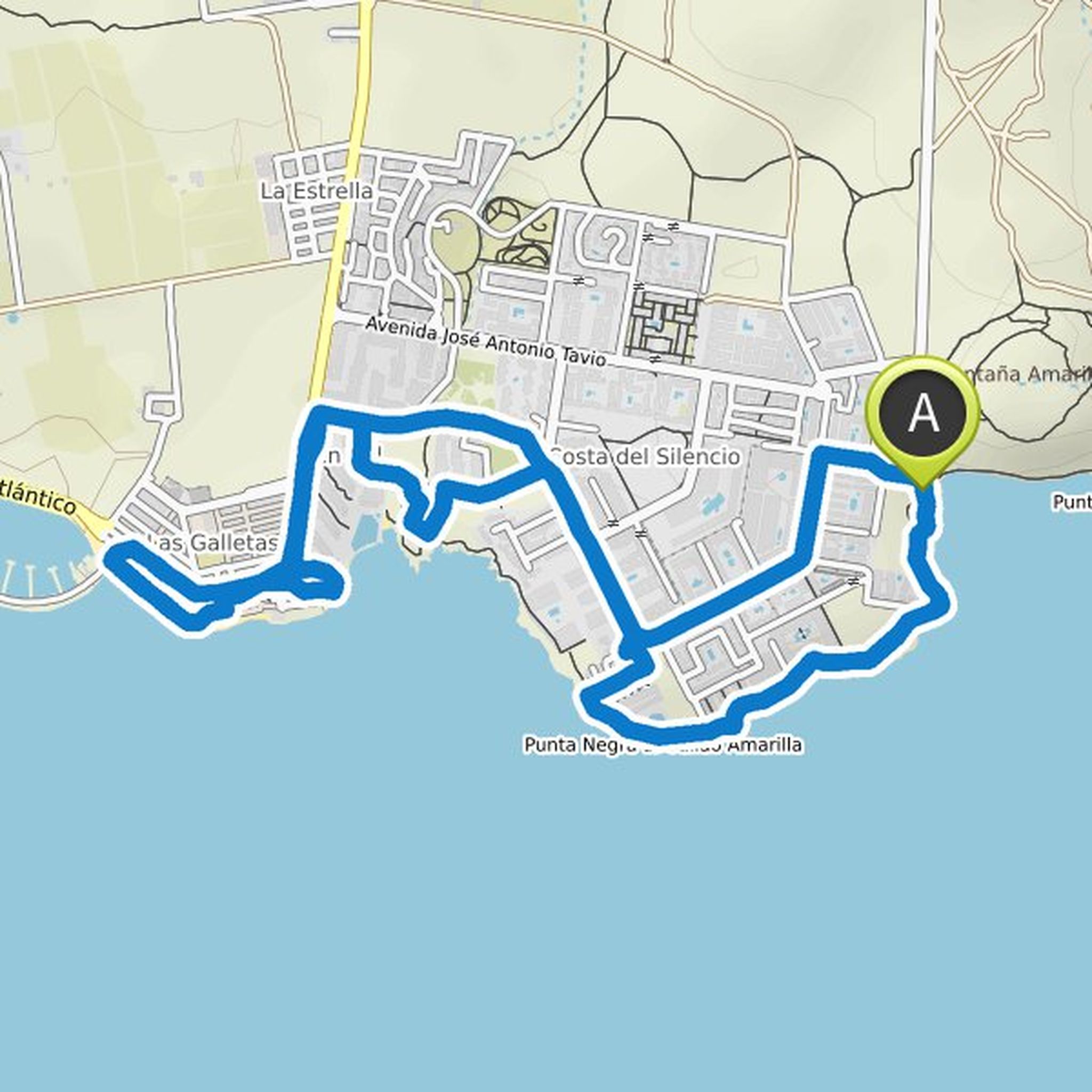
Ines Beyer planned a hike
February 19, 2022
Time
Distance
Speed
Ascent
Descent

Ines Beyer planned a hike
February 19, 2022
Time
Distance
Speed
Ascent
Descent
Ines Beyer planned a hike
February 19, 2022
Time
Distance
Speed
Ascent
Descent

Ines Beyer planned a hike
February 19, 2022
Time
Distance
Speed
Ascent
Descent
Ines Beyer planned a hike
January 8, 2022
Time
Distance
Speed
Ascent
Descent
Ines Beyer planned a hike
January 6, 2022
Time
Distance
Speed
Ascent
Descent
Ines Beyer planned a hike
January 6, 2022
Time
Distance
Speed
Ascent
Descent
Ines Beyer planned a hike
December 29, 2021
Time
Distance
Speed
Ascent
Descent
Ines Beyer planned a hike
December 27, 2021
Time
Distance
Speed
Ascent
Descent
Ines Beyer planned a hike
December 25, 2021
Time
Distance
Speed
Ascent
Descent
Ines Beyer planned a hike
December 25, 2021
Time
Distance
Speed
Ascent
Descent

Ines Beyer planned a hike
December 22, 2021
Time
Distance
Speed
Ascent
Descent