Timeline
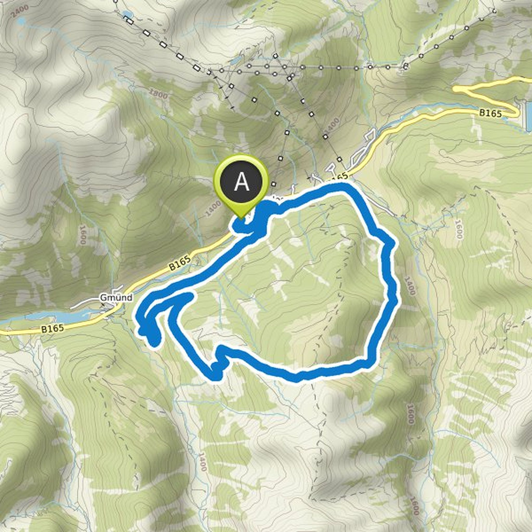
Bernd planned a hike
July 4, 2021
Time
Distance
Speed
Ascent
Descent

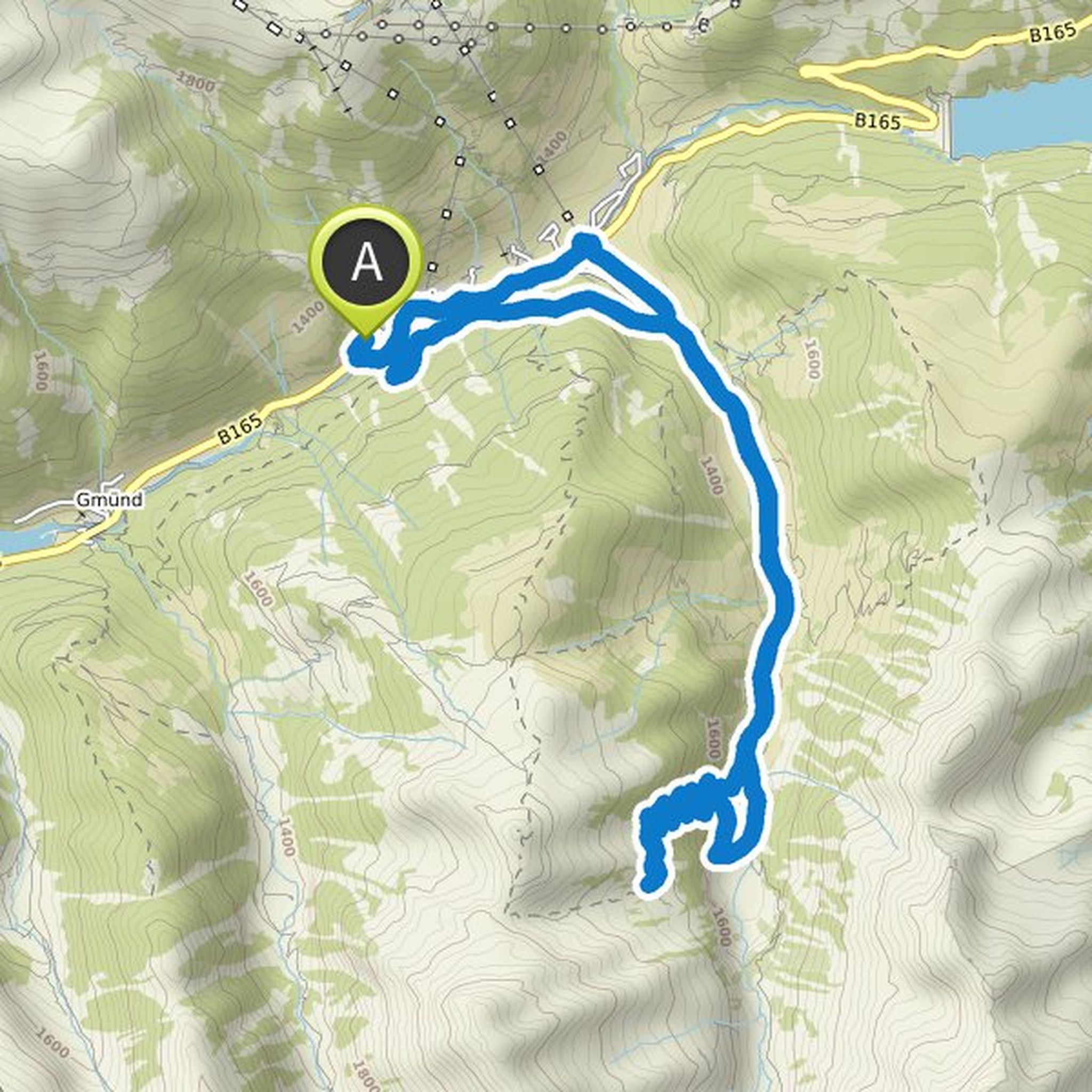
Bernd planned a hike
July 4, 2021
Time
Distance
Speed
Ascent
Descent

Bernd planned a hike
July 4, 2021
Time
Distance
Speed
Ascent
Descent

Bernd planned a hike
July 4, 2021
Time
Distance
Speed
Ascent
Descent

Bernd planned a hike
July 4, 2021
Time
Distance
Speed
Ascent
Descent
Bernd planned a hike
July 4, 2021
Time
Distance
Speed
Ascent
Descent

Bernd planned a hike
July 4, 2021
Time
Distance
Speed
Ascent
Descent

Bernd planned a hike
July 4, 2021
Time
Distance
Speed
Ascent
Descent

Bernd planned a hike
July 4, 2021
Time
Distance
Speed
Ascent
Descent

Bernd planned a hike
July 4, 2021
Time
Distance
Speed
Ascent
Descent

Bernd planned a hike
July 4, 2021
Time
Distance
Speed
Ascent
Descent

Bernd planned a hike
July 4, 2021
Time
Distance
Speed
Ascent
Descent

Bernd planned a hike
July 4, 2021
Time
Distance
Speed
Ascent
Descent
Bernd planned a hike
July 4, 2021
Time
Distance
Speed
Ascent
Descent

Bernd planned a hike
June 5, 2021
Time
Distance
Speed
Ascent
Descent
