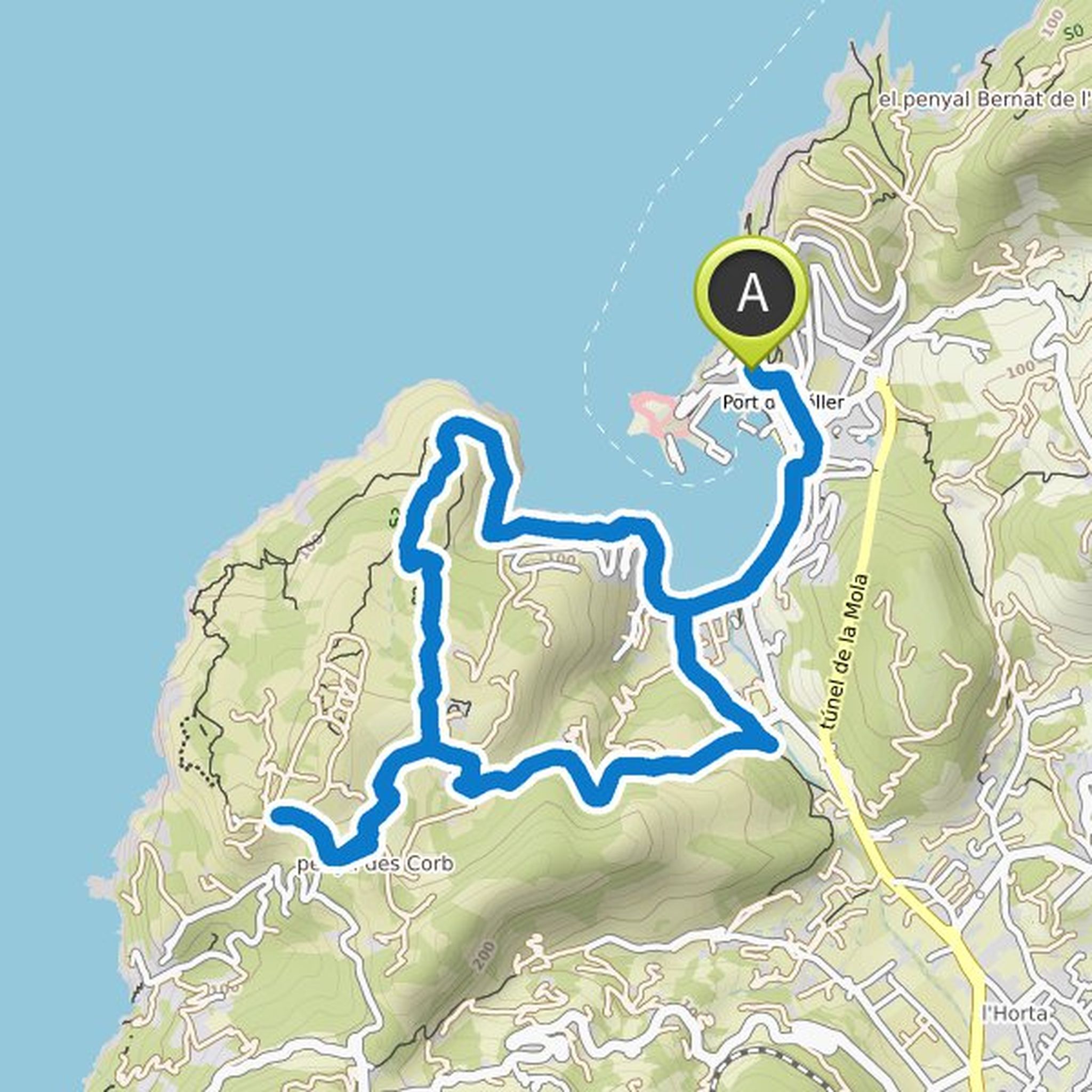
Timeline
Wendie planned a hike
August 14, 2022
Time
Distance
Speed
Ascent
Descent
Wendie planned a hike
August 14, 2022
Time
Distance
Speed
Ascent
Descent
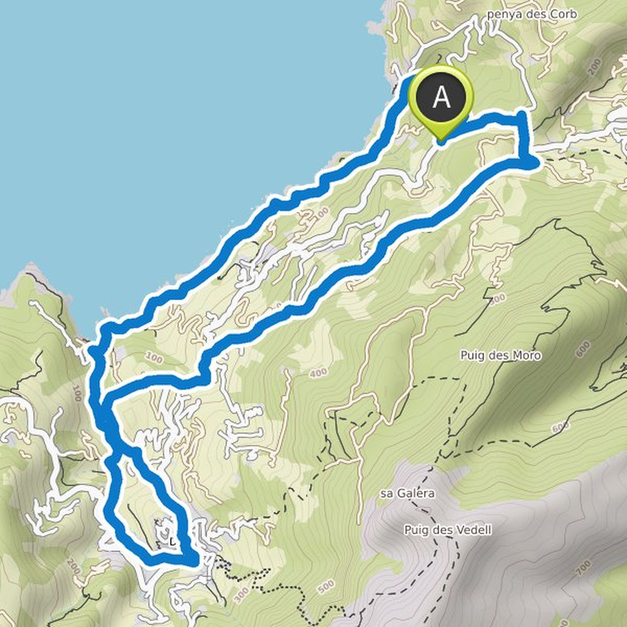
Wendie planned a hike
August 12, 2022
Time
Distance
Speed
Ascent
Descent
Wendie planned a hike
August 9, 2022
Time
Distance
Speed
Ascent
Descent
Wendie planned a hike
August 9, 2022
Time
Distance
Speed
Ascent
Descent
Wendie planned a hike
August 9, 2022
Time
Distance
Speed
Ascent
Descent
Wendie planned a hike
August 8, 2022
Time
Distance
Speed
Ascent
Descent
Wendie planned a hike
June 2, 2022
Time
Distance
Speed
Ascent
Descent
Wendie planned a hike
June 2, 2022
Time
Distance
Speed
Ascent
Descent
Wendie planned a hike
August 24, 2021
Time
Distance
Speed
Ascent
Descent

Wendie planned a hike
August 24, 2021
Time
Distance
Speed
Ascent
Descent
Wendie planned a hike
August 24, 2021
Time
Distance
Speed
Ascent
Descent
Wendie planned a hike
August 20, 2021
Time
Distance
Speed
Ascent
Descent

Wendie planned a hike
August 18, 2021
Time
Distance
Speed
Ascent
Descent

August 13, 2022
Thank you for this route
Very nice hike, a sublime 360° view
This whole 1st part is the best of the hike
A bit difficult for us to find the right way to go to point 1
The descent after the summit is quite long and painful because it is very steep and slippery with the stones.
Rest of the hike much less interesting
Translated by Google •