Timeline
Time
4h02m
Distance
14.8km
Speed
3.7km/h
Ascent
230m
Descent
200m
Map data © OpenStreetMap contributors
Werner B. and others planned a hike
December 21, 2025
Time
3h45m
Distance
14.2km
Speed
3.8km/h
Ascent
100m
Descent
170m
Map data © OpenStreetMap contributors
Werner B. and others planned a hike
September 12, 2025
Time
3h11m
Distance
12.1km
Speed
3.8km/h
Ascent
120m
Descent
80m
Map data © OpenStreetMap contributors
Time
3h15m
Distance
11.1km
Speed
3.4km/h
Ascent
300m
Descent
300m
Map data © OpenStreetMap contributors
Time
3h48m
Distance
12.3km
Speed
3.2km/h
Ascent
440m
Descent
460m
Map data © OpenStreetMap contributors
Time
4h11m
Distance
15.2km
Speed
3.6km/h
Ascent
270m
Descent
210m
Map data © OpenStreetMap contributors
Arju planned a hike
October 10, 2022
Time
1h30m
Distance
5.42km
Speed
3.6km/h
Ascent
100m
Descent
100m
Map data © OpenStreetMap contributors
Arju planned a hike
March 15, 2022
Time
4h06m
Distance
15.0km
Speed
3.7km/h
Ascent
230m
Descent
220m
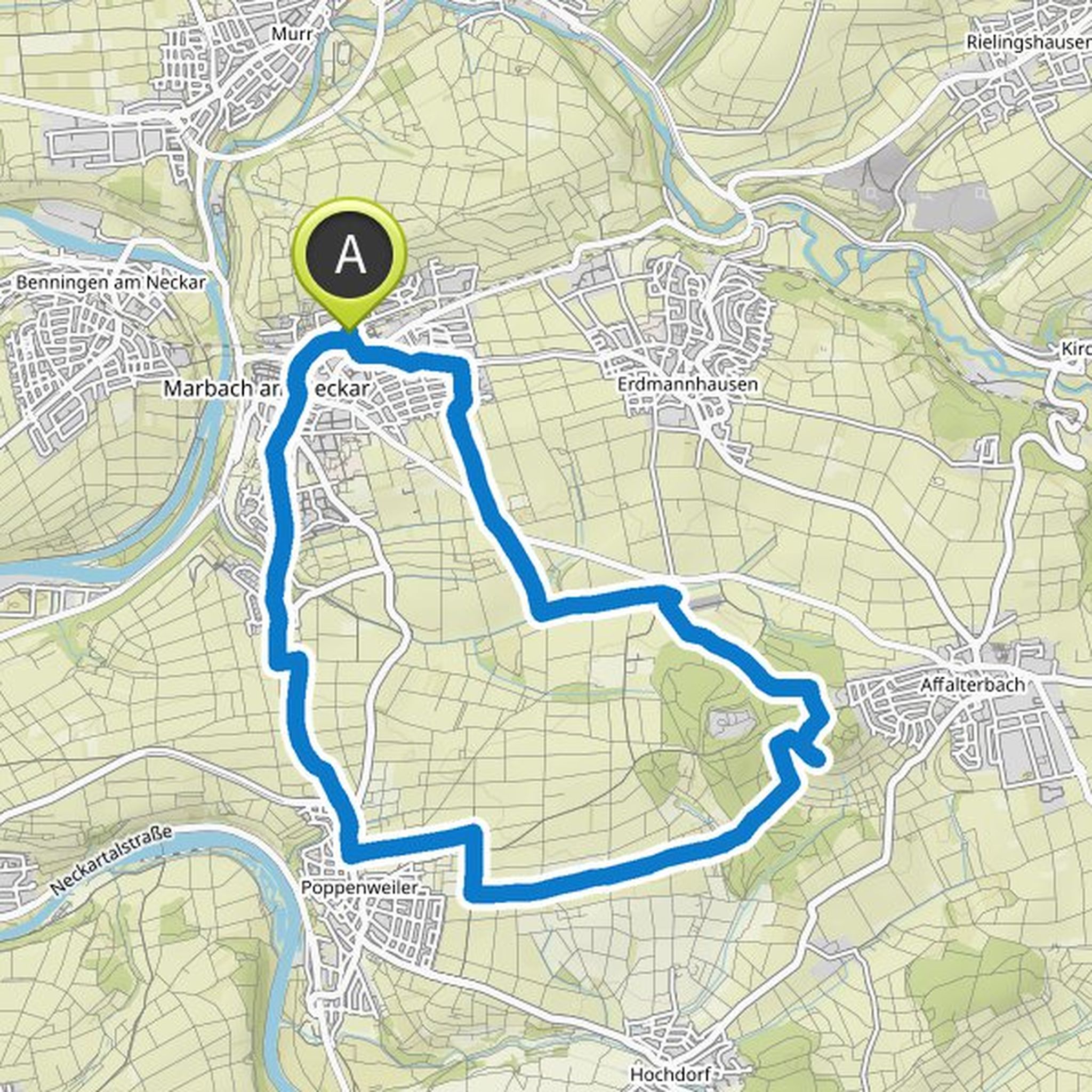
Map data © OpenStreetMap contributors
Arju planned a hike
March 15, 2022
Time
4h39m
Distance
17.1km
Speed
3.7km/h
Ascent
240m
Descent
240m
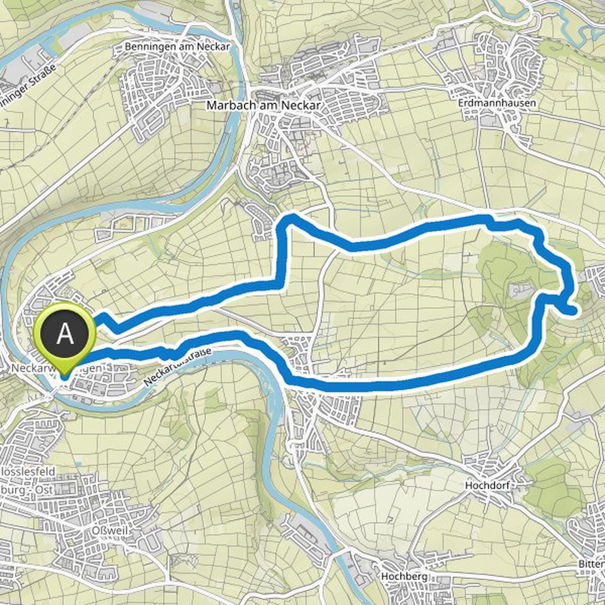
Map data © OpenStreetMap contributors
Arju planned a hike
March 15, 2022
Time
4h06m
Distance
15.0km
Speed
3.7km/h
Ascent
230m
Descent
220m
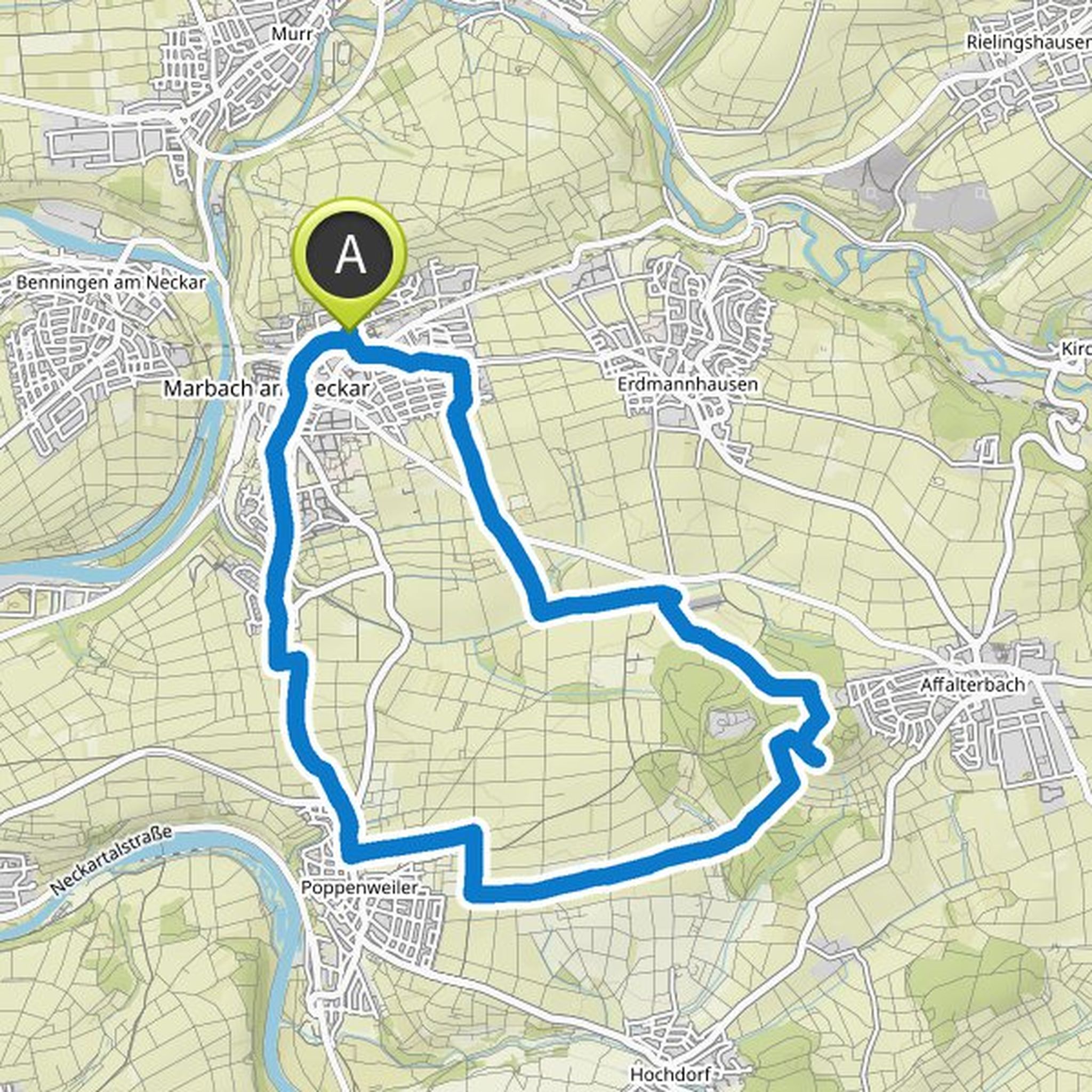
Map data © OpenStreetMap contributors
Arju planned a hike
July 21, 2021
Time
3h00m
Distance
10.9km
Speed
3.6km/h
Ascent
180m
Descent
180m
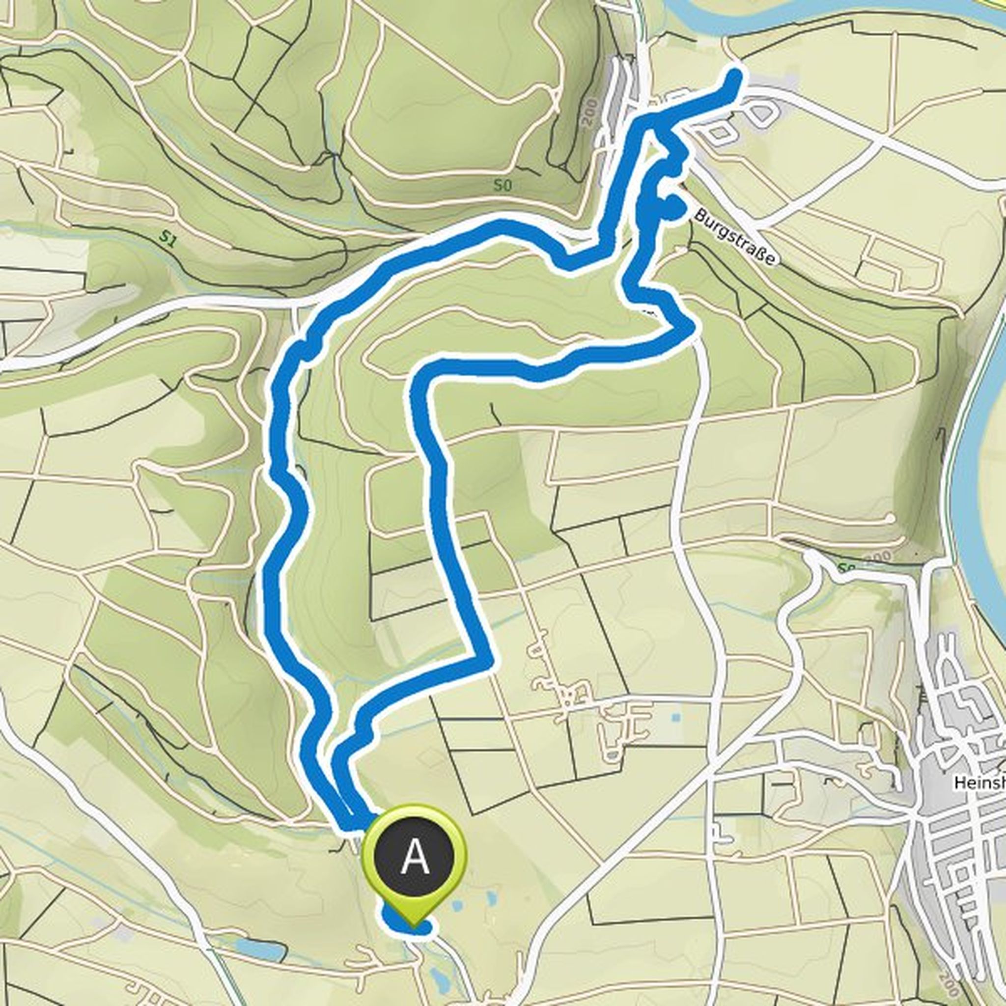
Map data © OpenStreetMap contributors
January 5, 2024
I walked this route on 5.1.24 and found many paths in poor condition after rain and damaged by mountain bikers who compress the ground with their skid marks, creating ruts with water and greasy floors. It was very peaceful and accessible by public transport. The train back to Oppenweiler runs every half hour.
Translated by Google •