Timeline
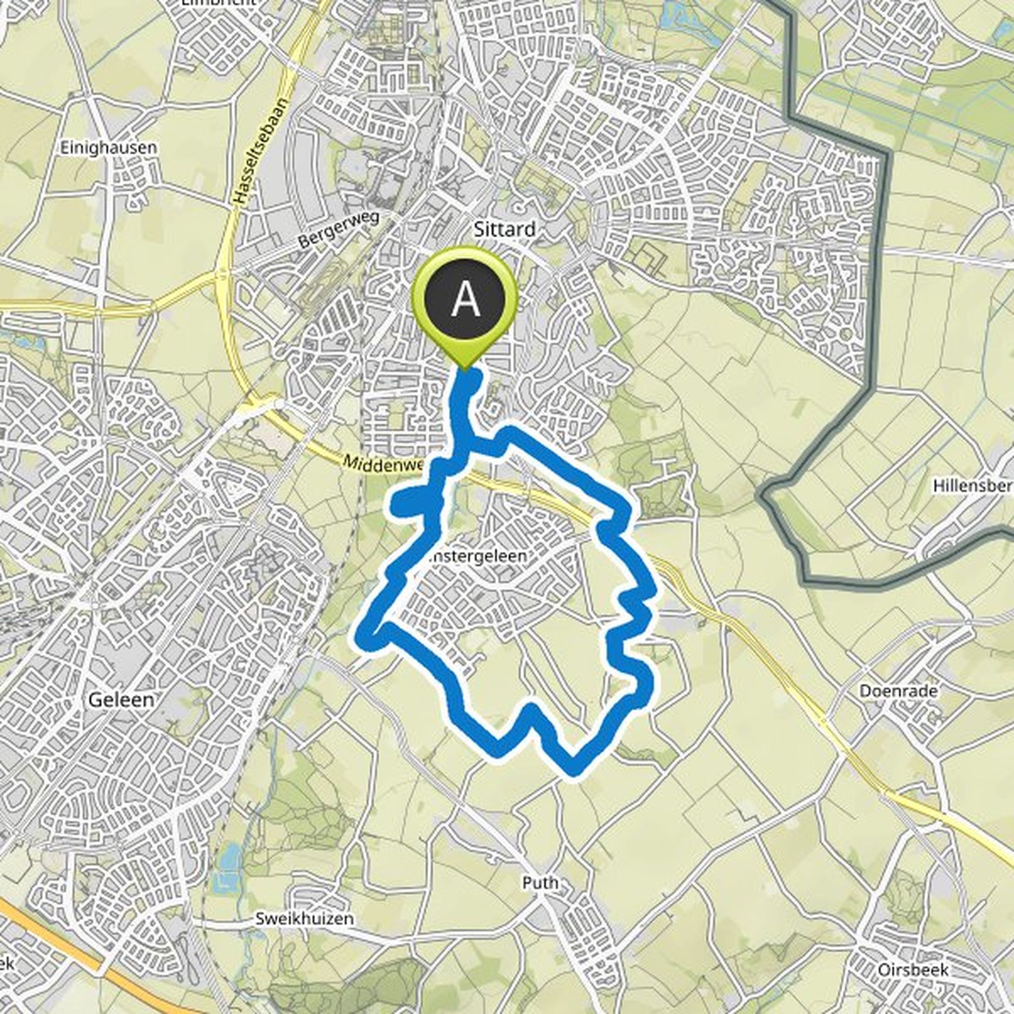
Anny Bevers planned a hike
January 27, 2023
Time
Distance
Speed
Ascent
Descent
Anny Bevers planned a hike
January 21, 2023
Time
Distance
Speed
Ascent
Descent
Anny Bevers planned a hike
January 12, 2023
Time
Distance
Speed
Ascent
Descent
Anny Bevers planned a hike
January 8, 2023
Time
Distance
Speed
Ascent
Descent
Anny Bevers planned a hike
November 12, 2022
Time
Distance
Speed
Ascent
Descent
Anny Bevers planned a hike
October 28, 2022
Time
Distance
Speed
Ascent
Descent
Anny Bevers planned a hike
October 15, 2022
Time
Distance
Speed
Ascent
Descent
Anny Bevers planned a hike
October 9, 2022
Time
Distance
Speed
Ascent
Descent
Anny Bevers planned a hike
July 18, 2022
Time
Distance
Speed
Ascent
Descent
Anny Bevers planned a hike
June 20, 2022
Time
Distance
Speed
Ascent
Descent
Anny Bevers planned a hike
June 12, 2022
Time
Distance
Speed
Ascent
Descent
Anny Bevers planned a hike
June 2, 2022
Time
Distance
Speed
Ascent
Descent
Anny Bevers planned a hike
May 22, 2022
Time
Distance
Speed
Ascent
Descent
Anny Bevers planned a hike
May 14, 2022
Time
Distance
Speed
Ascent
Descent
Anny Bevers planned a hike
March 20, 2022
Time
Distance
Speed
Ascent
Descent