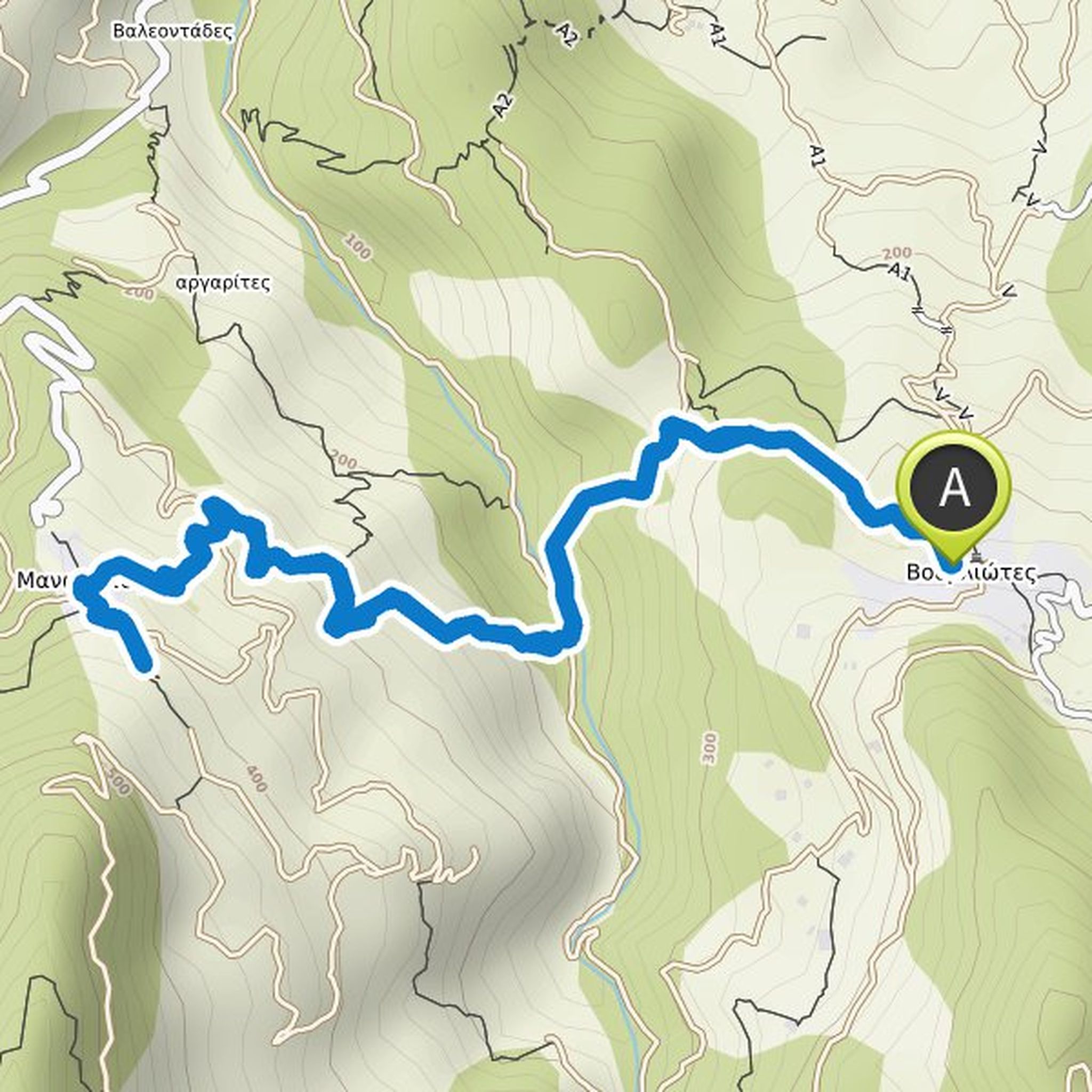
Timeline
mathiasschaefer planned a hike
October 1, 2022
Time
Distance
Speed
Ascent
Descent
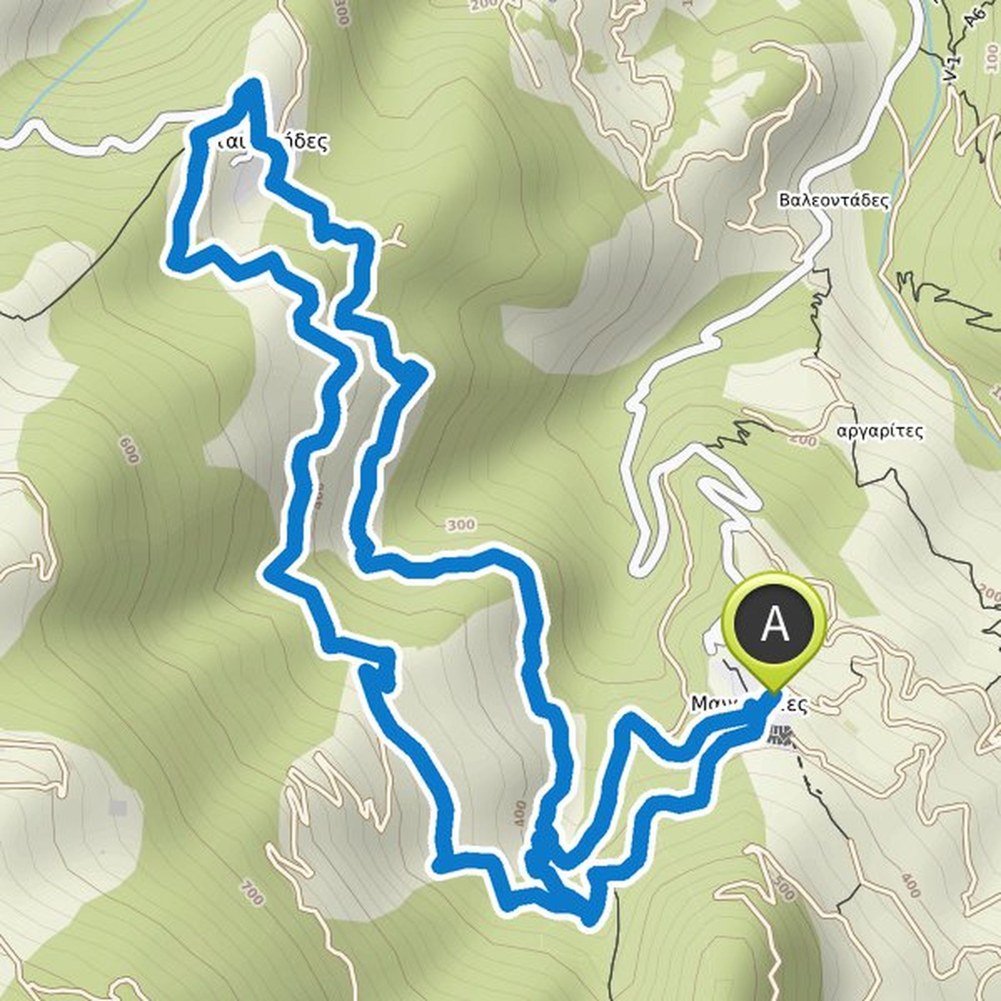
mathiasschaefer planned a hike
October 1, 2022
Time
Distance
Speed
Ascent
Descent
mathiasschaefer planned a hike
October 1, 2022
Time
Distance
Speed
Ascent
Descent
mathiasschaefer planned a hike
October 1, 2022
Time
Distance
Speed
Ascent
Descent
mathiasschaefer planned a hike
October 1, 2022
Time
Distance
Speed
Ascent
Descent
mathiasschaefer planned a hike
October 1, 2022
Time
Distance
Speed
Ascent
Descent
mathiasschaefer planned a hike
October 1, 2022
Time
Distance
Speed
Ascent
Descent
mathiasschaefer planned a hike
October 1, 2022
Time
Distance
Speed
Ascent
Descent
mathiasschaefer planned a hike
October 1, 2022
Time
Distance
Speed
Ascent
Descent
mathiasschaefer planned a hike
October 1, 2022
Time
Distance
Speed
Ascent
Descent
mathiasschaefer planned a hike
September 30, 2022
Time
Distance
Speed
Ascent
Descent
mathiasschaefer planned a bike ride
July 23, 2022
Time
Distance
Speed
Ascent
Descent
mathiasschaefer planned a bike ride
July 23, 2022
Time
Distance
Speed
Ascent
Descent
mathiasschaefer planned a hike
September 17, 2021
Time
Distance
Speed
Ascent
Descent
mathiasschaefer planned a hike
September 17, 2021
Time
Distance
Speed
Ascent
Descent