Timeline
Adrian Meyer planned a hike
September 1, 2022
Time
7h36m
Distance
21.4km
Speed
2.8km/h
Ascent
1,150m
Descent
1,160m
Map data © OpenStreetMap contributors
Adrian Meyer planned a hike
August 30, 2022
Time
7h30m
Distance
21.7km
Speed
2.9km/h
Ascent
1,180m
Descent
1,180m
Map data © OpenStreetMap contributors
Adrian Meyer planned a hike
August 8, 2021
Time
3h34m
Distance
12.8km
Speed
3.6km/h
Ascent
250m
Descent
250m
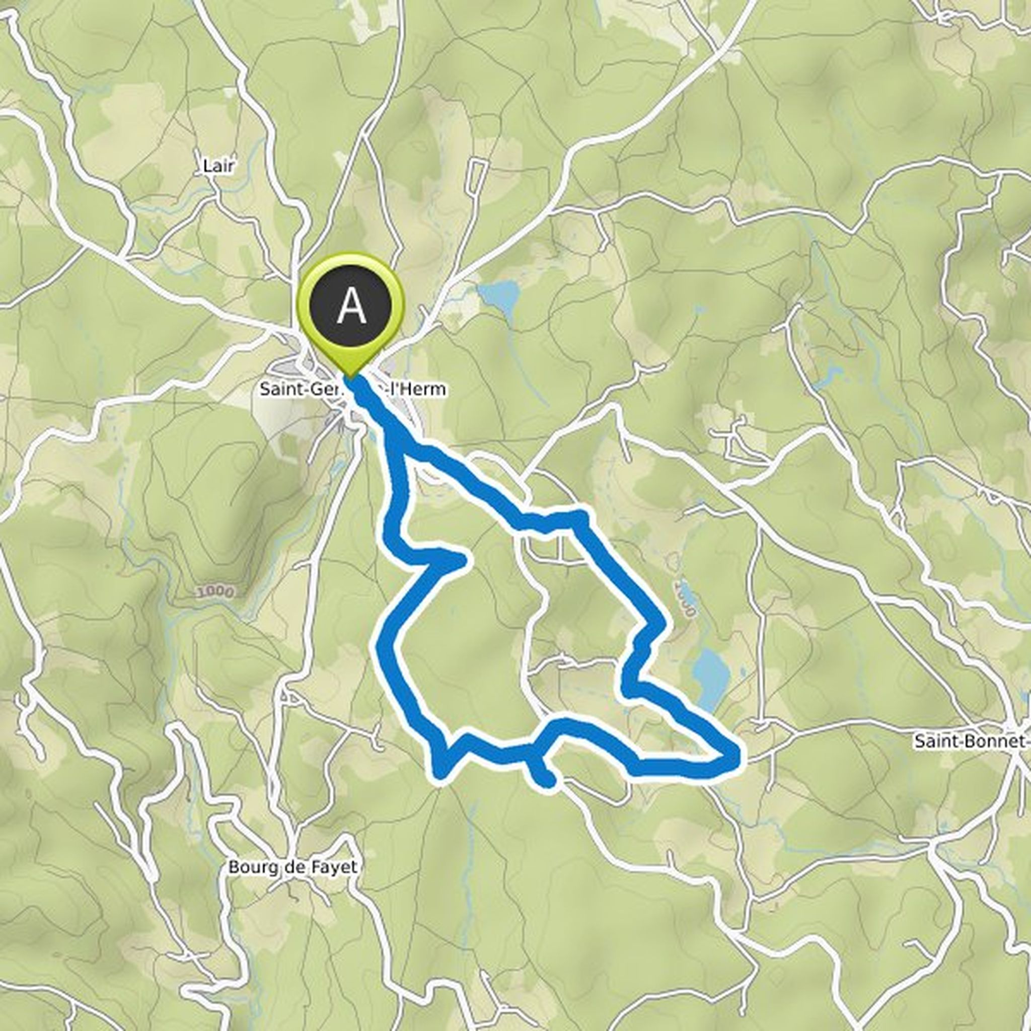
Map data © OpenStreetMap contributors
September 1, 2022
The way there is demanding in the last third. It is very steep and sometimes slippery. I wouldn't go there if it was raining or wet. The way back, on the other hand, is easy to walk. Finding the barely marked route was easy with Komootnavigation. Overall, it was varied and I always had wonderful views. Highly recommended
Translated by Google •