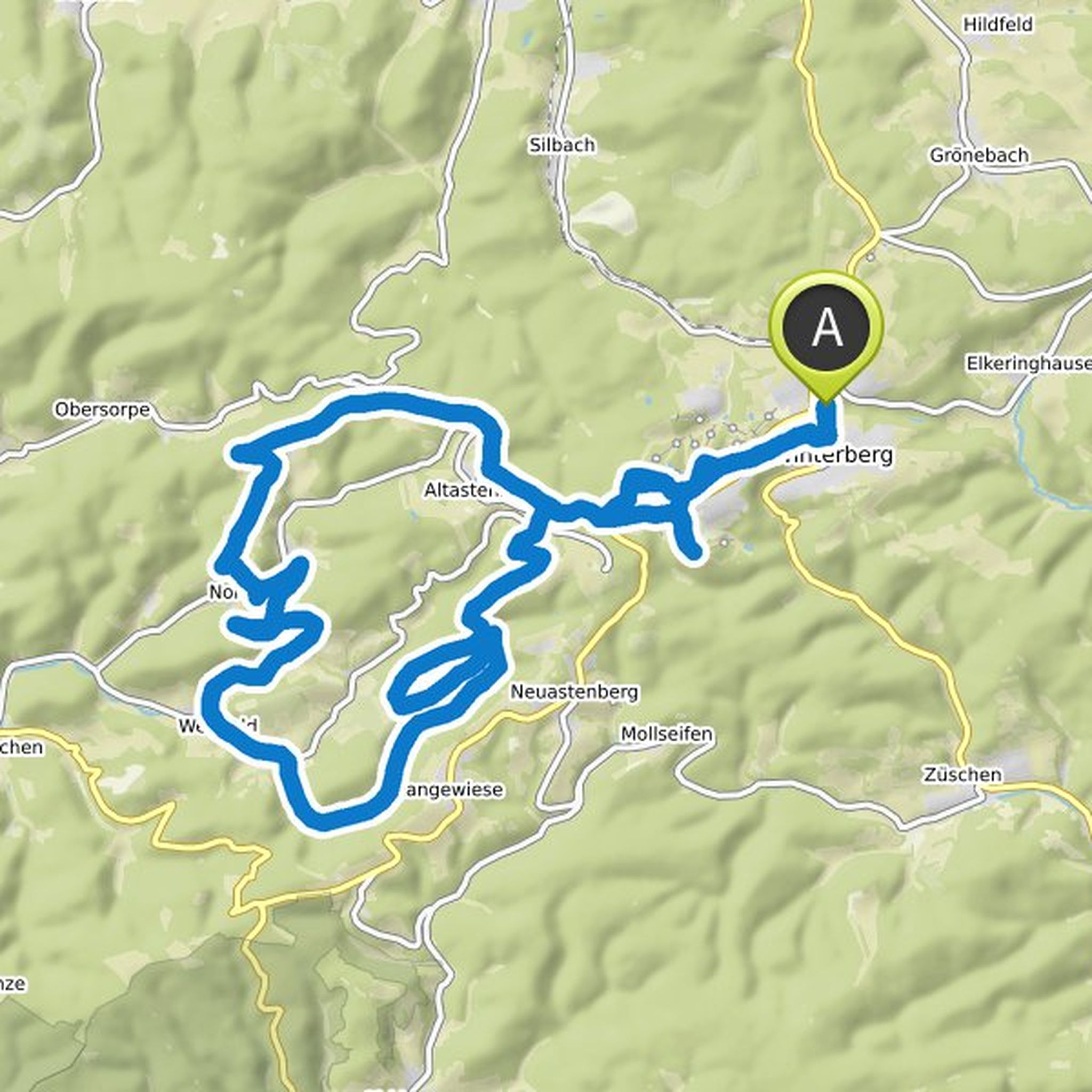
Timeline
Marcel planned an adventure
October 27, 2020
Time
Distance
Speed
Ascent
Descent
Marcel planned a mountain bike ride
October 25, 2020
Time
Distance
Speed
Ascent
Descent

Marcel planned a mountain bike ride
September 5, 2020
Time
Distance
Speed
Ascent
Descent

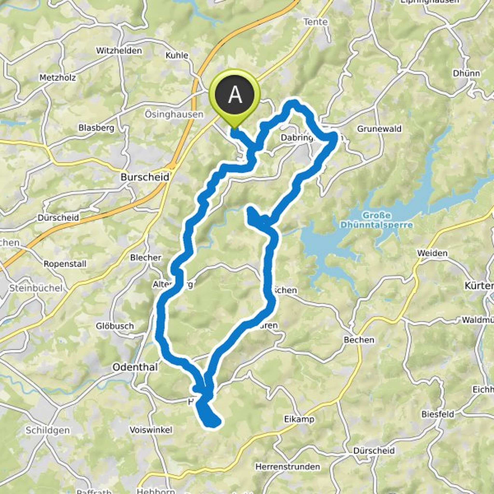
Marcel planned a mountain bike ride
September 5, 2020
Time
Distance
Speed
Ascent
Descent

Marcel planned a mountain bike ride
September 3, 2020
Time
Distance
Speed
Ascent
Descent
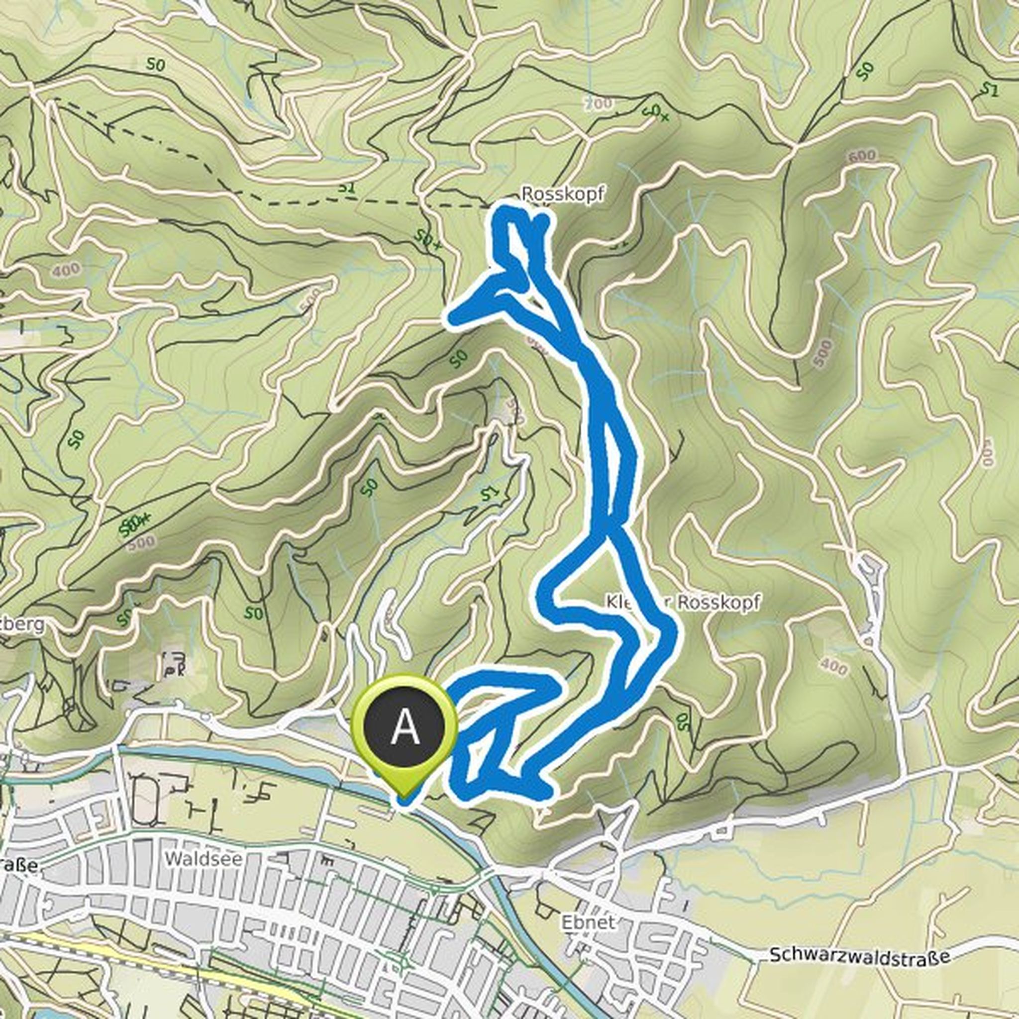
September 3, 2020
Driving technique: difficult (medium without first two sections)
Character: Tour over built trails with initially difficult passages. But then increasingly easier. Lots of curves, berms and jumps that can also be avoided.
Route: DHJ youth hostel - St. Wendelin chapel - Roßkopfturm - youth hostel - entrance
Translated by Google •
Marcel planned a mountain bike ride
September 3, 2020
Time
Distance
Speed
Ascent
Descent

September 3, 2020
Driving technique: medium
Character: Once up to the Kybfelsen and with a view of the Rhine Valley and then back down into the Dreisamtal on a fun and fast descent on the trail built by Canadians
Route: Biosk - Sternwaldwiese - Rehhagsattel - Kybfelsen - Rehhagkopf - Sternwaldwiese - Biosk
Description: Forest
Translated by Google •
Marcel planned a mountain bike ride
September 3, 2020
Time
Distance
Speed
Ascent
Descent

September 3, 2020
Driving technique: medium
Character: Round trip up Roßkopf, from there over the very curvy Hubbelfuchs and the beautiful bordering and jumps of the Baden to the Bone back to the city. All jumps can be avoided.
Route: Gantherbiergarten - Langenbuckweg - Sommerbuckweg - Hubbelfuchs - Roßkopf - Reutebach
Translated by Google •
Marcel planned a mountain bike ride
September 3, 2020
Time
Distance
Speed
Ascent
Descent

September 3, 2020
Driving technique: easy
Character: Long round tour to the Schauinsland summit with descent over flowing and easy trails back to the city
Route: Wiehre Bahnhof - Langackern - Horben - Eduardshöhe - Hundsrück - Schauinsland - Badish Moon Rising - Sohlacker - Al Natura - St. Valentin - Wiehre Bahnhof
Description
Translated by Google •
Marcel planned a hike
August 18, 2020
Time
Distance
Speed
Ascent
Descent

Marcel planned a mountain bike ride
July 29, 2020
Time
Distance
Speed
Ascent
Descent

Marcel planned a mountain bike ride
June 2, 2020
Time
Distance
Speed
Ascent
Descent
Marcel planned a mountain bike ride
June 2, 2020
Time
Distance
Speed
Ascent
Descent

Marcel planned a mountain bike ride
May 8, 2020
Time
Distance
Speed
Ascent
Descent

Marcel planned a mountain bike ride
April 24, 2020
Time
Distance
Speed
Ascent
Descent

Marcel planned a hike
April 19, 2020
Time
Distance
Speed
Ascent
Descent

September 5, 2020
First it goes over the wide forest path opposite the entrance to the parking lot on the Tütberg. After about 2km you will pass a large house in a clearing with a large garden. Behind it there is a refuge at the next crossroads. This is the starting point for our tour.
Translated by Google •