Timeline
TanjaK and Sandra Reich planned a hike
July 2, 2021
Time
Distance
Speed
Ascent
Descent

TanjaK and Sandra Reich planned a hike
July 2, 2021
Time
Distance
Speed
Ascent
Descent
TanjaK and Sandra Reich planned a hike
July 2, 2021
Time
Distance
Speed
Ascent
Descent
TanjaK and others planned a hike
July 1, 2021
Time
Distance
Speed
Ascent
Descent
TanjaK and Sandra Reich planned a hike
July 1, 2021
Time
Distance
Speed
Ascent
Descent

TanjaK and others planned a hike
July 1, 2021
Time
Distance
Speed
Ascent
Descent

TanjaK and others planned a hike
July 1, 2021
Time
Distance
Speed
Ascent
Descent

July 1, 2021
and then it's done
Translated by Google •
TanjaK and others planned a hike
July 1, 2021
Time
Distance
Speed
Ascent
Descent

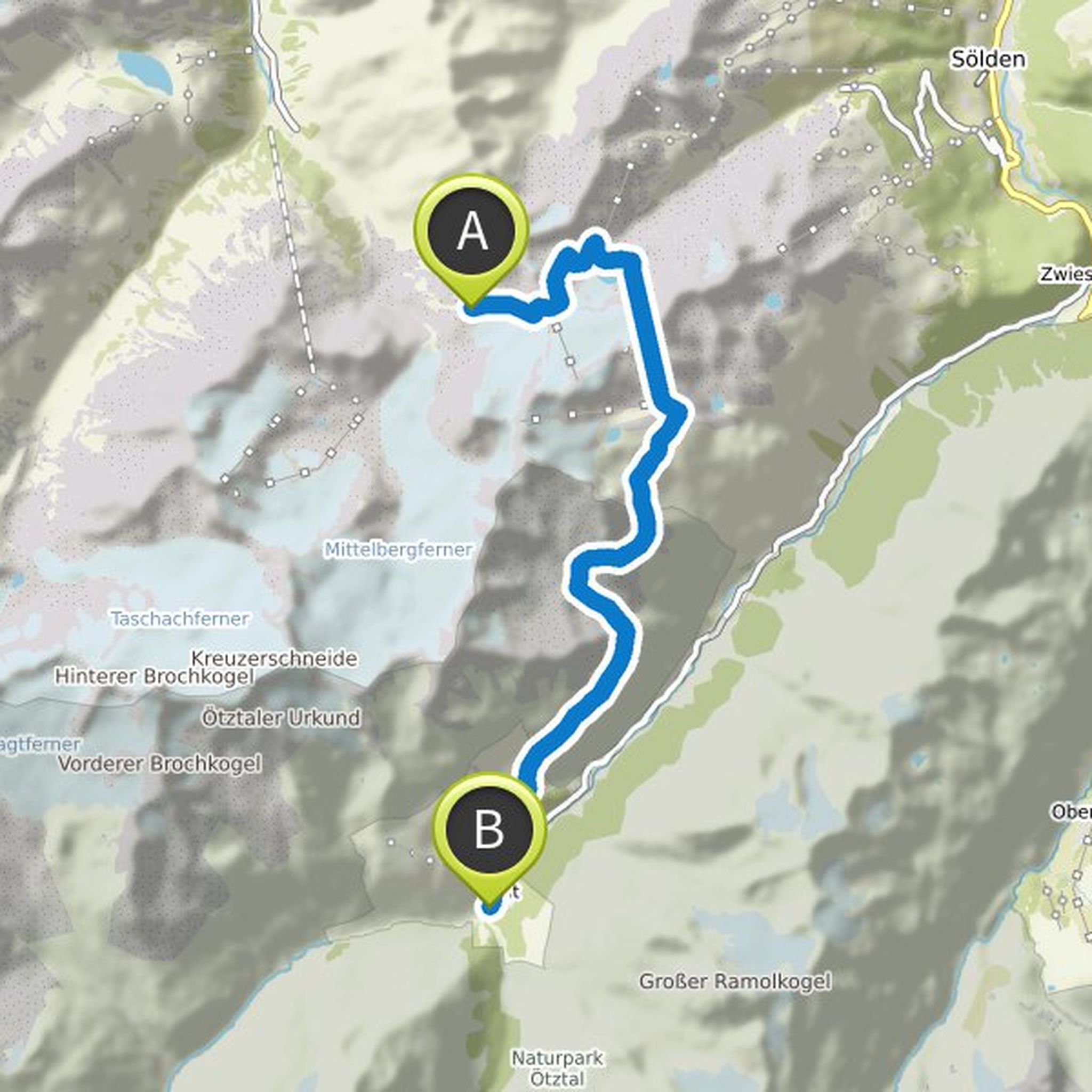
July 1, 2021
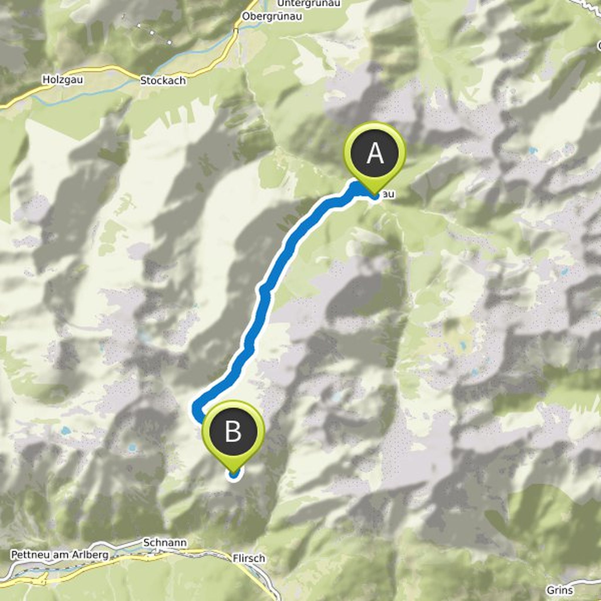
It looks as if you first have to take the cable car from the Braunschweiger Hütte over the entire glacier and only then can continue walking from a parking lot. was that here with the Rosi-Mittermeier-Tunnel where we have to go?
Translated by Google •
TanjaK and others planned a hike
July 1, 2021
Time
Distance
Speed
Ascent
Descent
TanjaK and others planned a hike
June 30, 2021
Time
Distance
Speed
Ascent
Descent
TanjaK and Sandra Reich planned a hike
June 30, 2021
Time
Distance
Speed
Ascent
Descent

TanjaK and others planned a hike
June 30, 2021
Time
Distance
Speed
Ascent
Descent

TanjaK and others planned a hike
June 30, 2021
Time
Distance
Speed
Ascent
Descent

July 1, 2021
Tanja, there is also a material cable car down from the Ansbacher hut to shortly before Flirsch ;-)
my cards arrived today.
Translated by Google •