Timeline
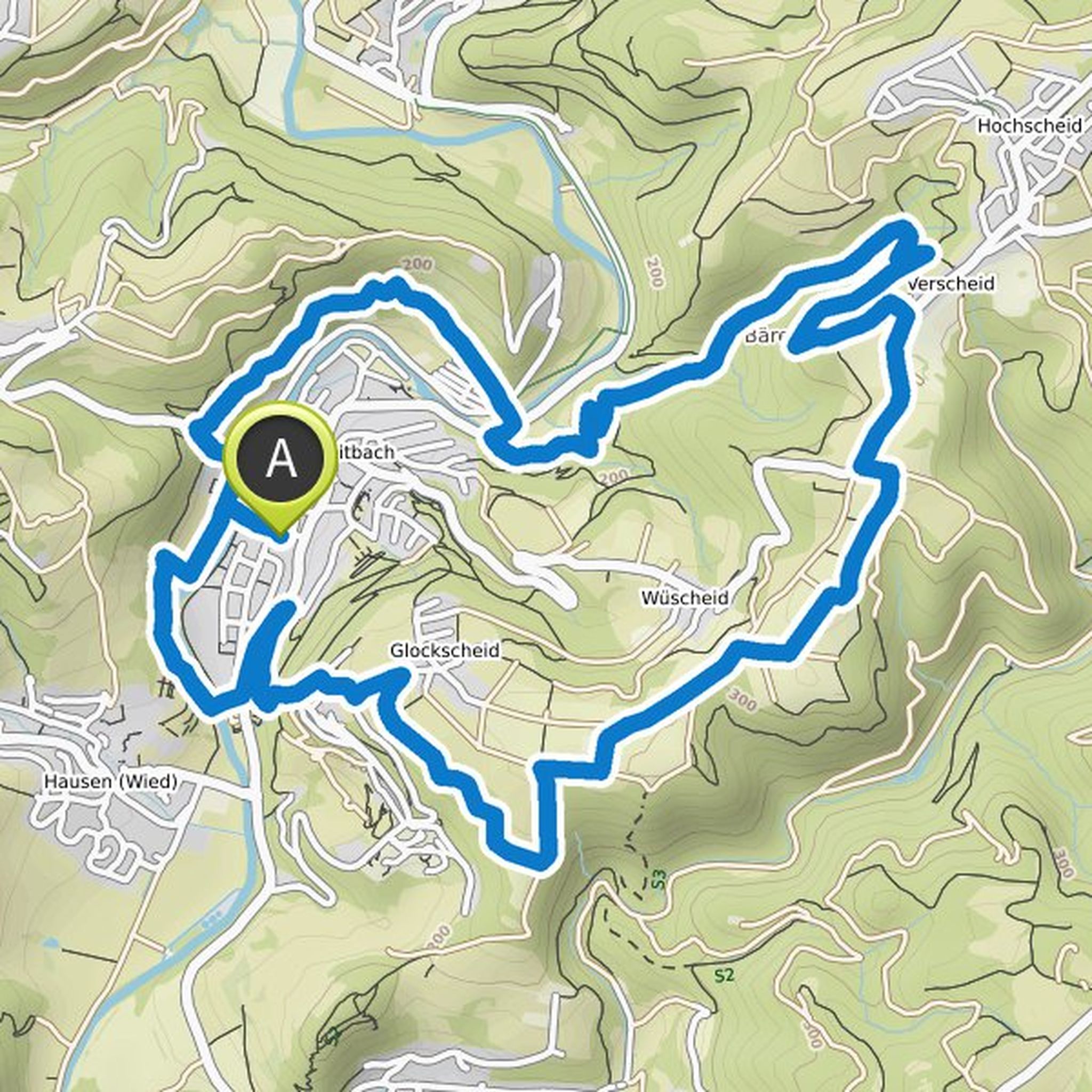
Andrea Bocklet and Jojob planned a hike
August 5, 2023
Time
Distance
Speed
Ascent
Descent
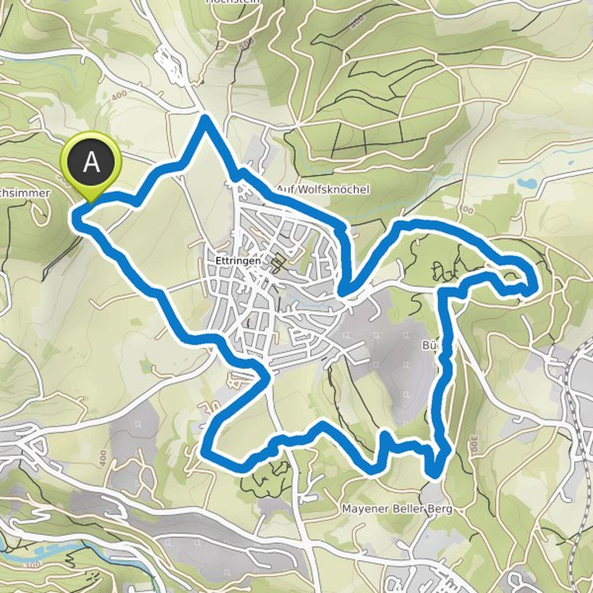
Andrea Bocklet and Sabine Brathuhn planned a hike
April 16, 2023
Time
Distance
Speed
Ascent
Descent
Andrea Bocklet and Sabine Brathuhn planned a hike
April 8, 2023
Time
Distance
Speed
Ascent
Descent
Andrea Bocklet and Jojob planned an e-bike ride
March 28, 2023
Time
Distance
Speed
Ascent
Descent
Andrea Bocklet planned a hike
June 16, 2022
Time
Distance
Speed
Ascent
Descent
Andrea Bocklet planned a hike
October 15, 2021
Time
Distance
Speed
Ascent
Descent

Andrea Bocklet planned a hike
June 4, 2021
Time
Distance
Speed
Ascent
Descent
Andrea Bocklet planned a hike
May 20, 2021
Time
Distance
Speed
Ascent
Descent

Andrea Bocklet planned a hike
April 24, 2021
Time
Distance
Speed
Ascent
Descent

Andrea Bocklet planned a hike
April 16, 2021
Time
Distance
Speed
Ascent
Descent

Andrea Bocklet planned a hike
December 18, 2020
Time
Distance
Speed
Ascent
Descent