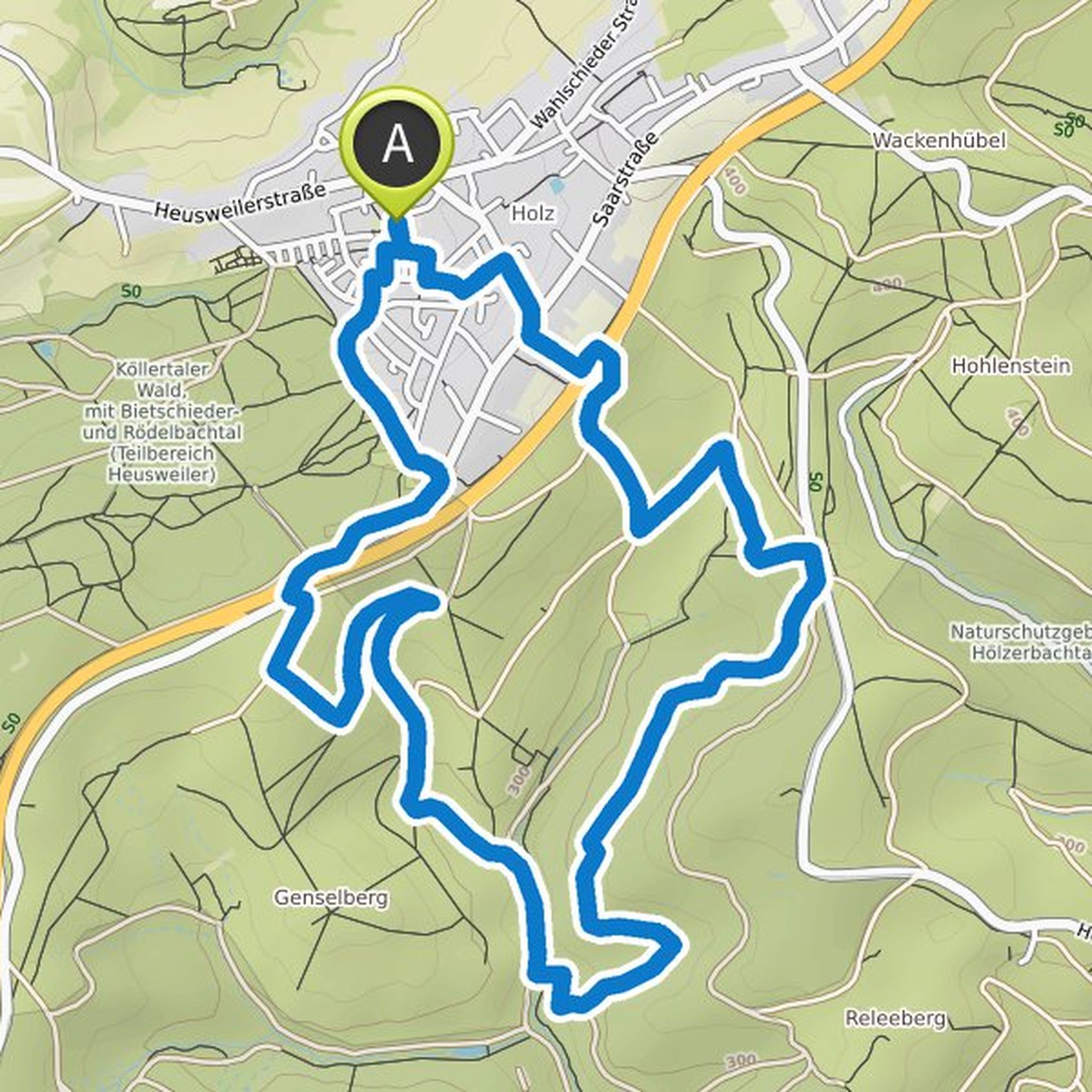
Timeline
Uwe Walczak planned a hike
April 3, 2022
Time
2h53m
Distance
9.48km
Speed
3.3km/h
Ascent
310m
Descent
310m
Map data © OpenStreetMap contributors
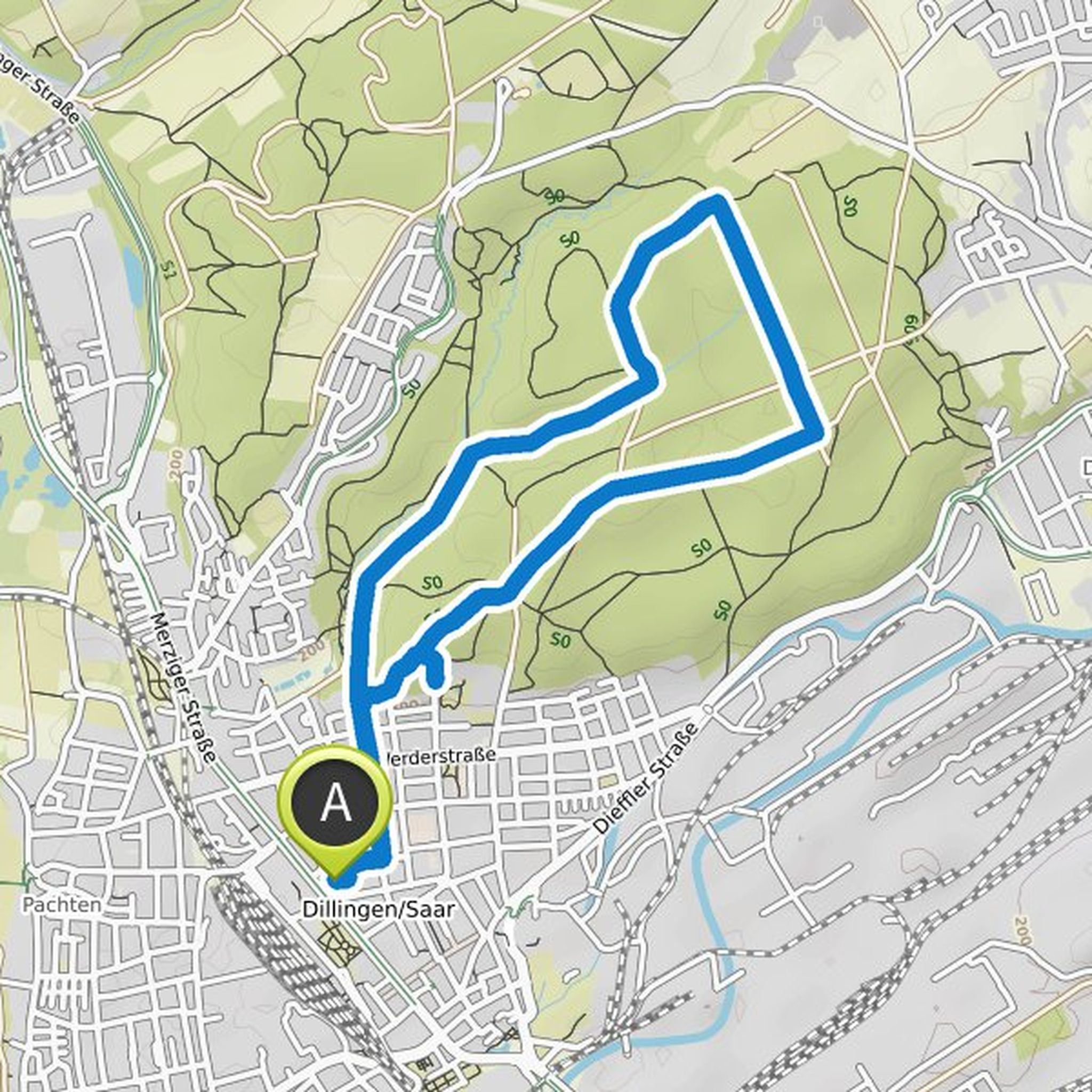
Uwe Walczak planned a hike
January 4, 2022
Time
3h00m
Distance
10.8km
Speed
3.6km/h
Ascent
200m
Descent
200m
Map data © OpenStreetMap contributors
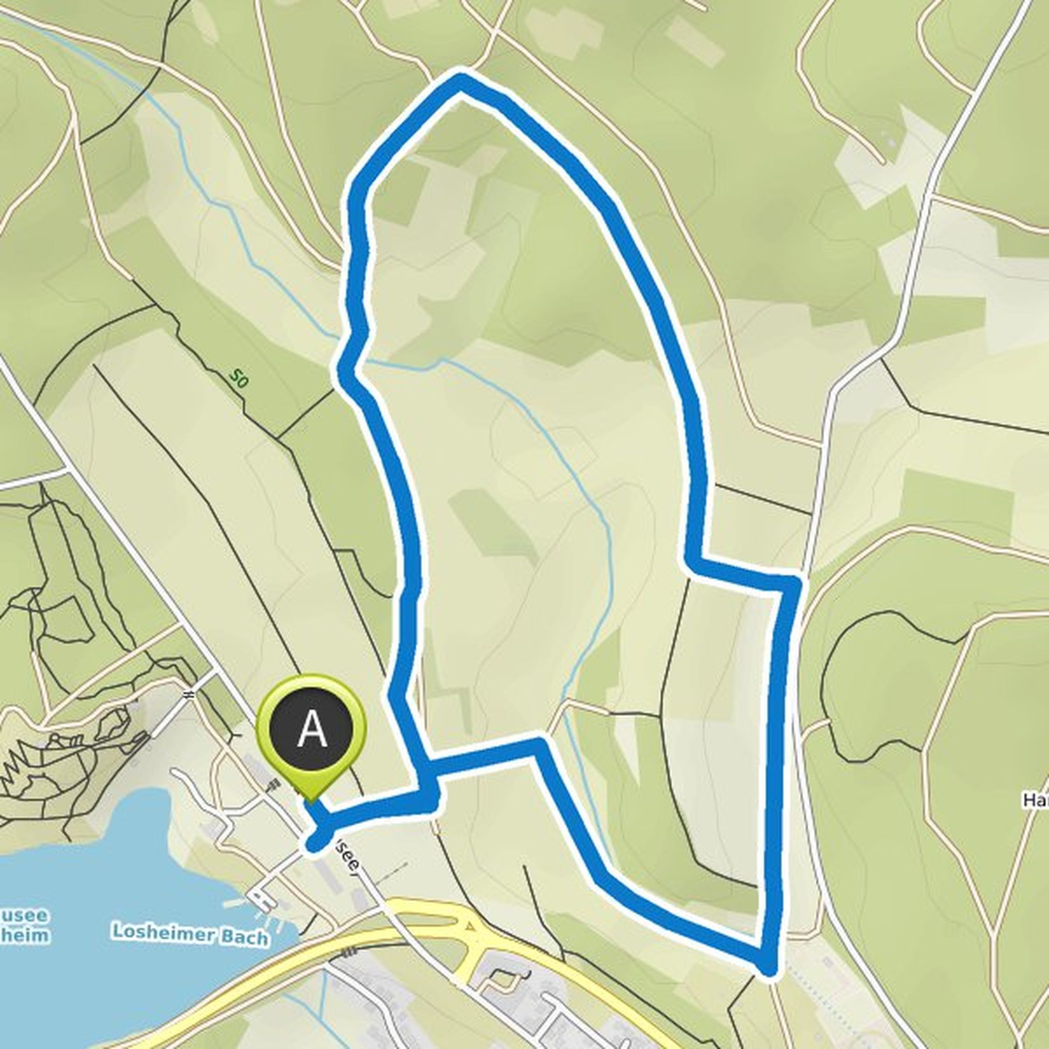
Uwe Walczak planned a hike
December 3, 2021
Time
1h53m
Distance
7.10km
Speed
3.8km/h
Ascent
70m
Descent
70m
Map data © OpenStreetMap contributors
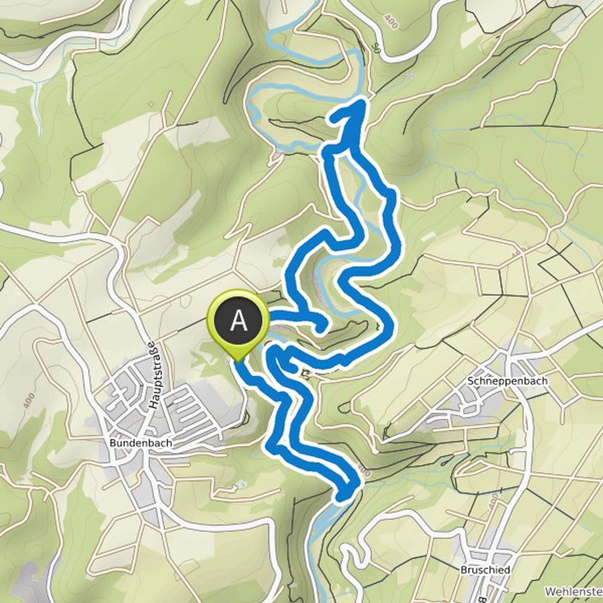
Uwe Walczak planned a hike
November 28, 2021
Time
1h17m
Distance
4.77km
Speed
3.7km/h
Ascent
60m
Descent
60m
Map data © OpenStreetMap contributors
Uwe Walczak planned a hike
May 30, 2021
Time
2h15m
Distance
9.18km
Speed
4.1km/h
Ascent
210m
Descent
210m
Map data © OpenStreetMap contributors
Tina likes this.