Timeline
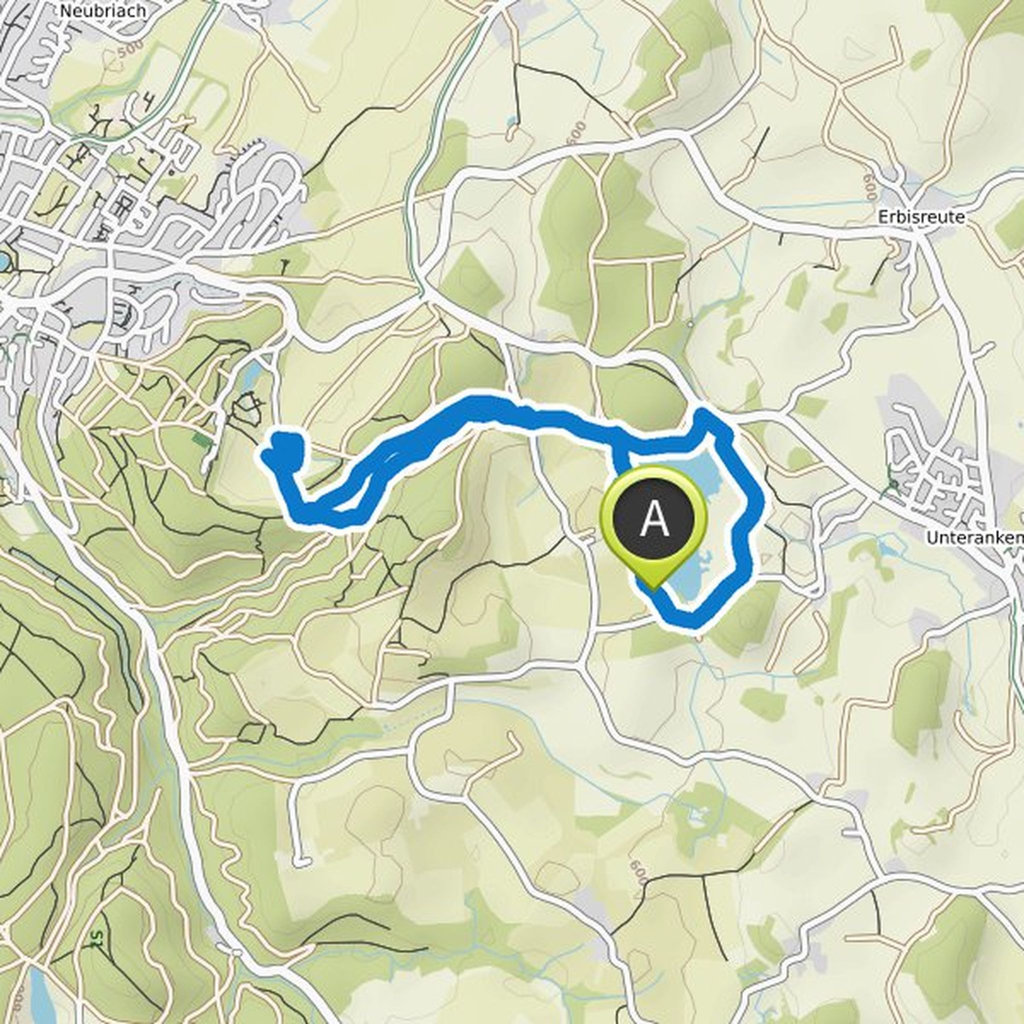
Horst planned a hike
March 19, 2022
Time
Distance
Speed
Ascent
Descent

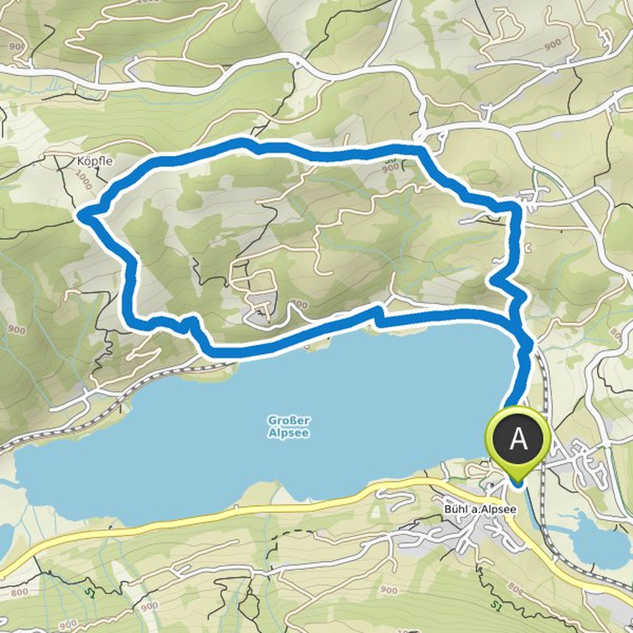
Horst planned a hike
January 1, 2022
Time
Distance
Speed
Ascent
Descent

Horst planned a hike
December 25, 2021
Time
Distance
Speed
Ascent
Descent

Horst planned a hike
December 25, 2021
Time
Distance
Speed
Ascent
Descent
Horst planned a hike
December 3, 2021
Time
Distance
Speed
Ascent
Descent

Horst planned a hike
December 3, 2021
Time
Distance
Speed
Ascent
Descent

Horst planned a hike
December 3, 2021
Time
Distance
Speed
Ascent
Descent

Horst planned a hike
December 3, 2021
Time
Distance
Speed
Ascent
Descent

Horst planned a hike
September 18, 2021
Time
Distance
Speed
Ascent
Descent

Horst planned a hike
September 18, 2021
Time
Distance
Speed
Ascent
Descent
Horst planned a hike
July 24, 2021
Time
Distance
Speed
Ascent
Descent

Horst planned a hike
July 24, 2021
Time
Distance
Speed
Ascent
Descent

Horst planned a hike
July 24, 2021
Time
Distance
Speed
Ascent
Descent

Horst planned a hike
July 24, 2021
Time
Distance
Speed
Ascent
Descent

Horst planned a hike
July 24, 2021
Time
Distance
Speed
Ascent
Descent
