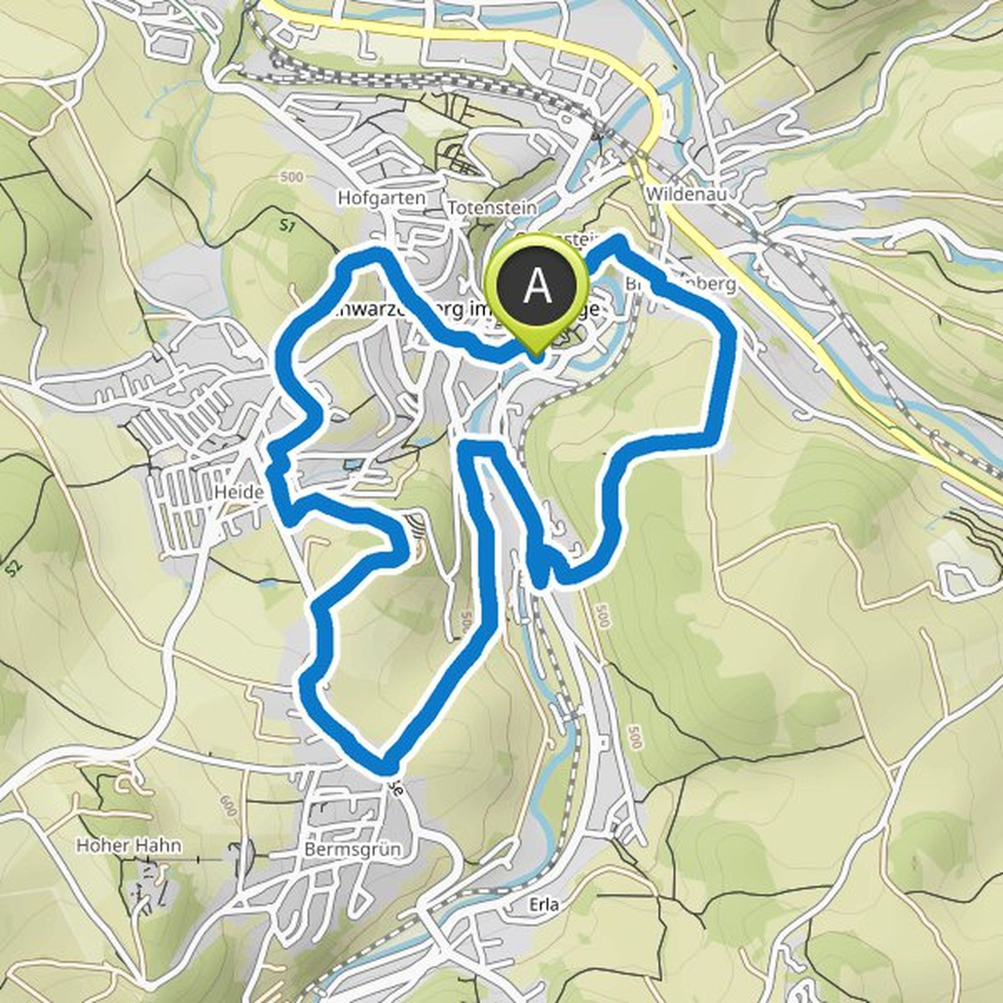
Timeline
ausgefranzte planned a hike
May 7, 2023
Time
Distance
Speed
Ascent
Descent
Doro likes this.
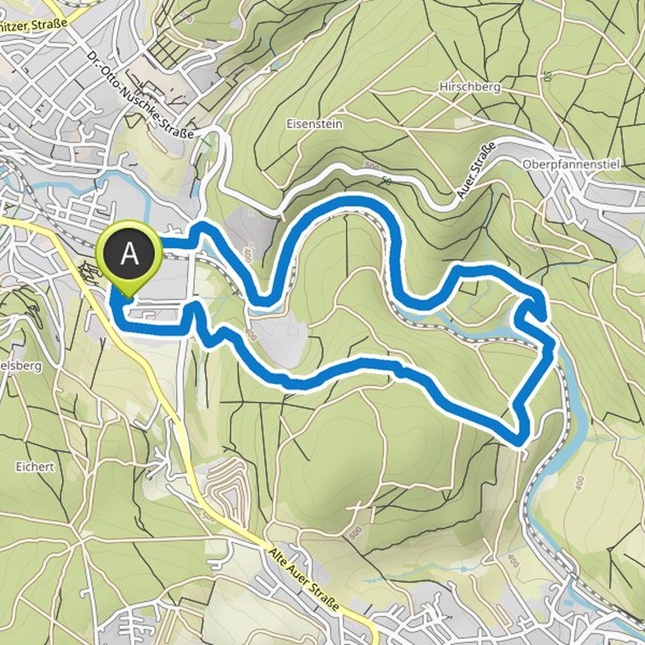
ausgefranzte planned a hike
March 18, 2023
Time
Distance
Speed
Ascent
Descent
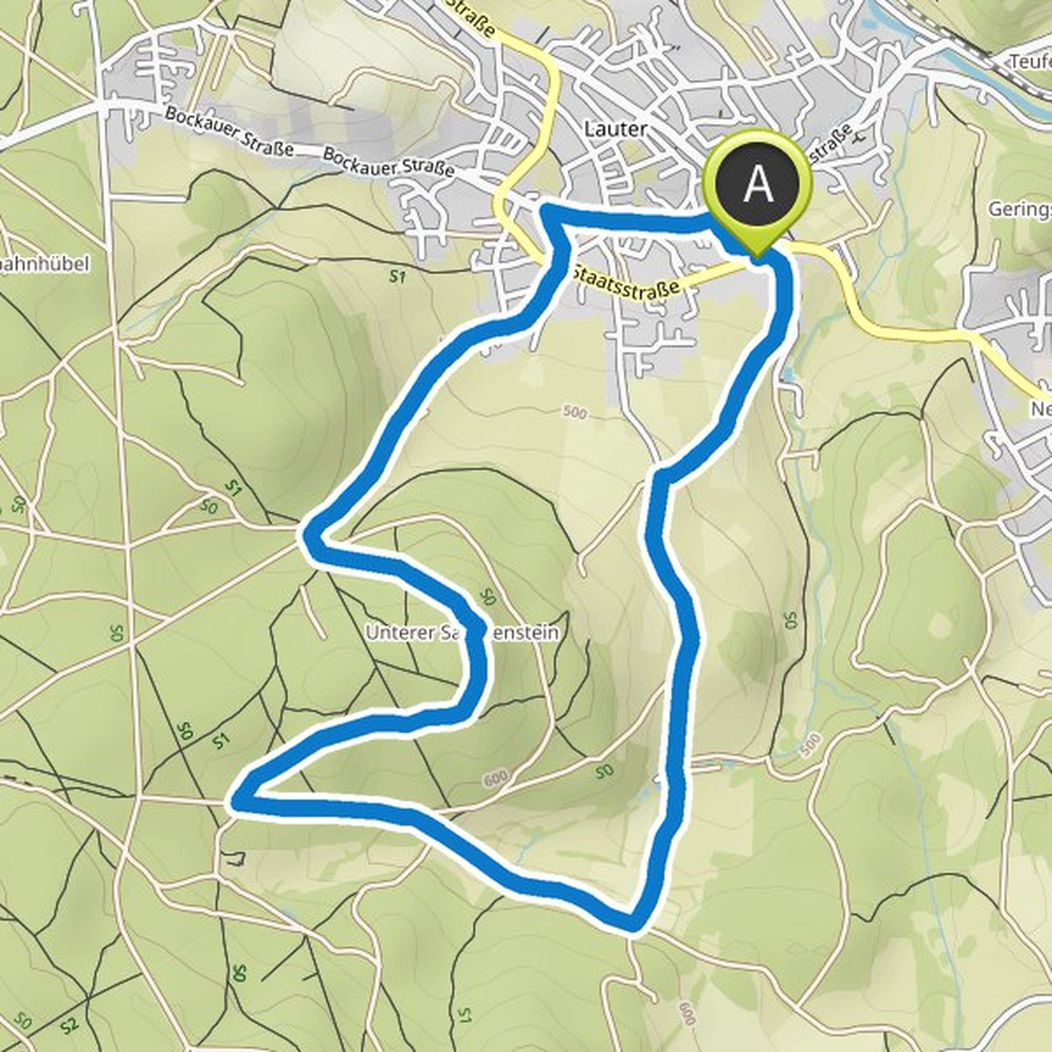
ausgefranzte planned a bike ride
August 28, 2022
Time
Distance
Speed
Ascent
Descent
ausgefranzte planned a bike ride
August 28, 2022
Time
Distance
Speed
Ascent
Descent
ausgefranzte planned a hike
May 18, 2022
Time
Distance
Speed
Ascent
Descent
ausgefranzte planned a hike
May 7, 2022
Time
Distance
Speed
Ascent
Descent
ausgefranzte planned a hike
April 21, 2022
Time
Distance
Speed
Ascent
Descent
ausgefranzte planned a hike
April 16, 2022
Time
Distance
Speed
Ascent
Descent
ausgefranzte planned a hike
March 13, 2022
Time
Distance
Speed
Ascent
Descent
ausgefranzte planned a hike
March 13, 2022
Time
Distance
Speed
Ascent
Descent
ausgefranzte planned a hike
March 13, 2022
Time
Distance
Speed
Ascent
Descent
ausgefranzte planned a hike
March 13, 2022
Time
Distance
Speed
Ascent
Descent
ausgefranzte planned a hike
March 13, 2022
Time
Distance
Speed
Ascent
Descent
ausgefranzte planned a hike
March 3, 2022
Time
Distance
Speed
Ascent
Descent
ausgefranzte planned a hike
January 10, 2022
Time
Distance
Speed
Ascent
Descent