Timeline
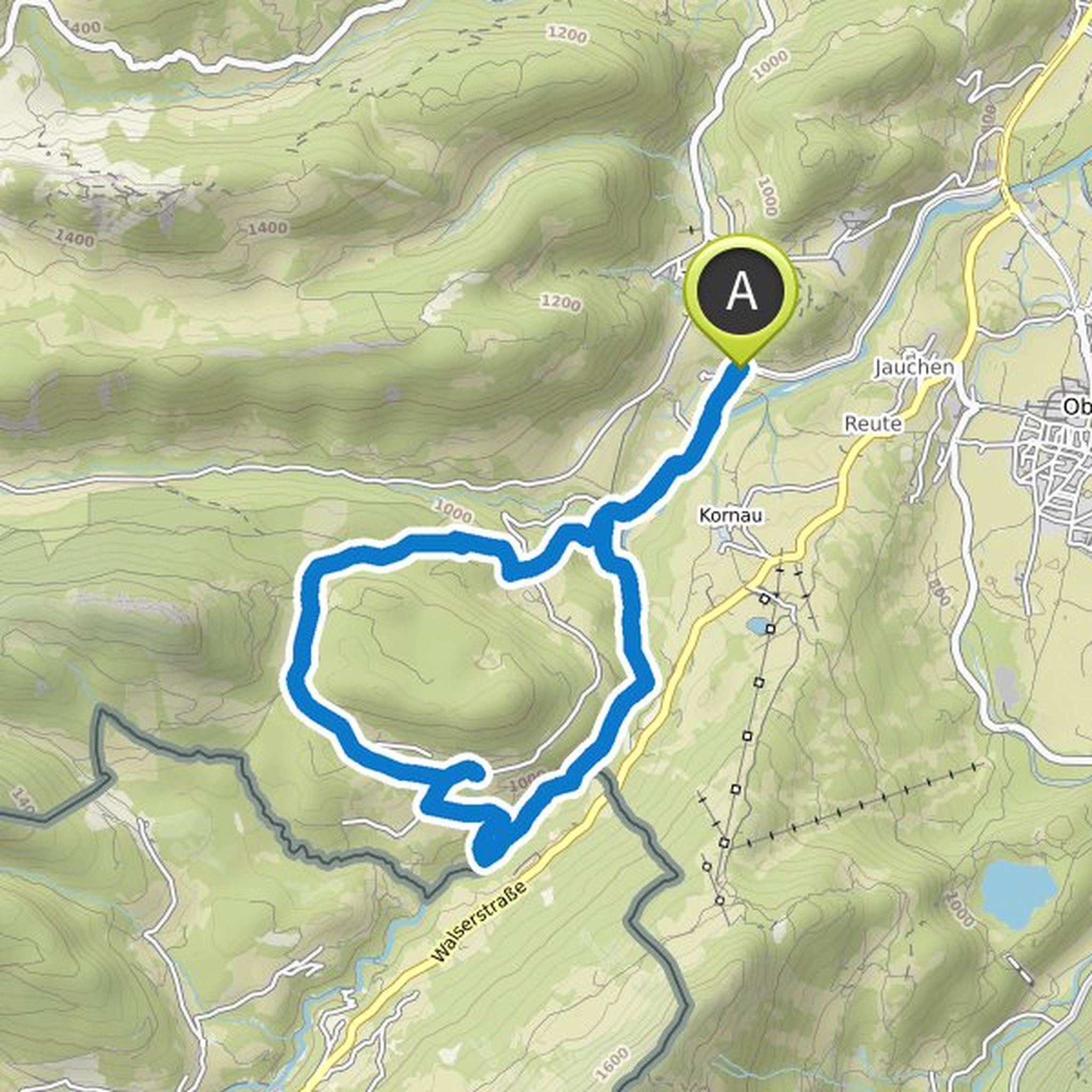
Klaus planned a mountain bike ride
September 27, 2022
Time
Distance
Speed
Ascent
Descent
Klaus planned a hike
April 2, 2022
Time
Distance
Speed
Ascent
Descent
Klaus planned a hike
April 2, 2022
Time
Distance
Speed
Ascent
Descent
Klaus planned a hike
April 2, 2022
Time
Distance
Speed
Ascent
Descent
Klaus planned a hike
April 2, 2022
Time
Distance
Speed
Ascent
Descent
Klaus planned a hike
April 2, 2022
Time
Distance
Speed
Ascent
Descent
Klaus planned a hike
April 2, 2022
Time
Distance
Speed
Ascent
Descent
Klaus planned a hike
April 2, 2022
Time
Distance
Speed
Ascent
Descent
Klaus planned a hike
September 20, 2021
Time
Distance
Speed
Ascent
Descent
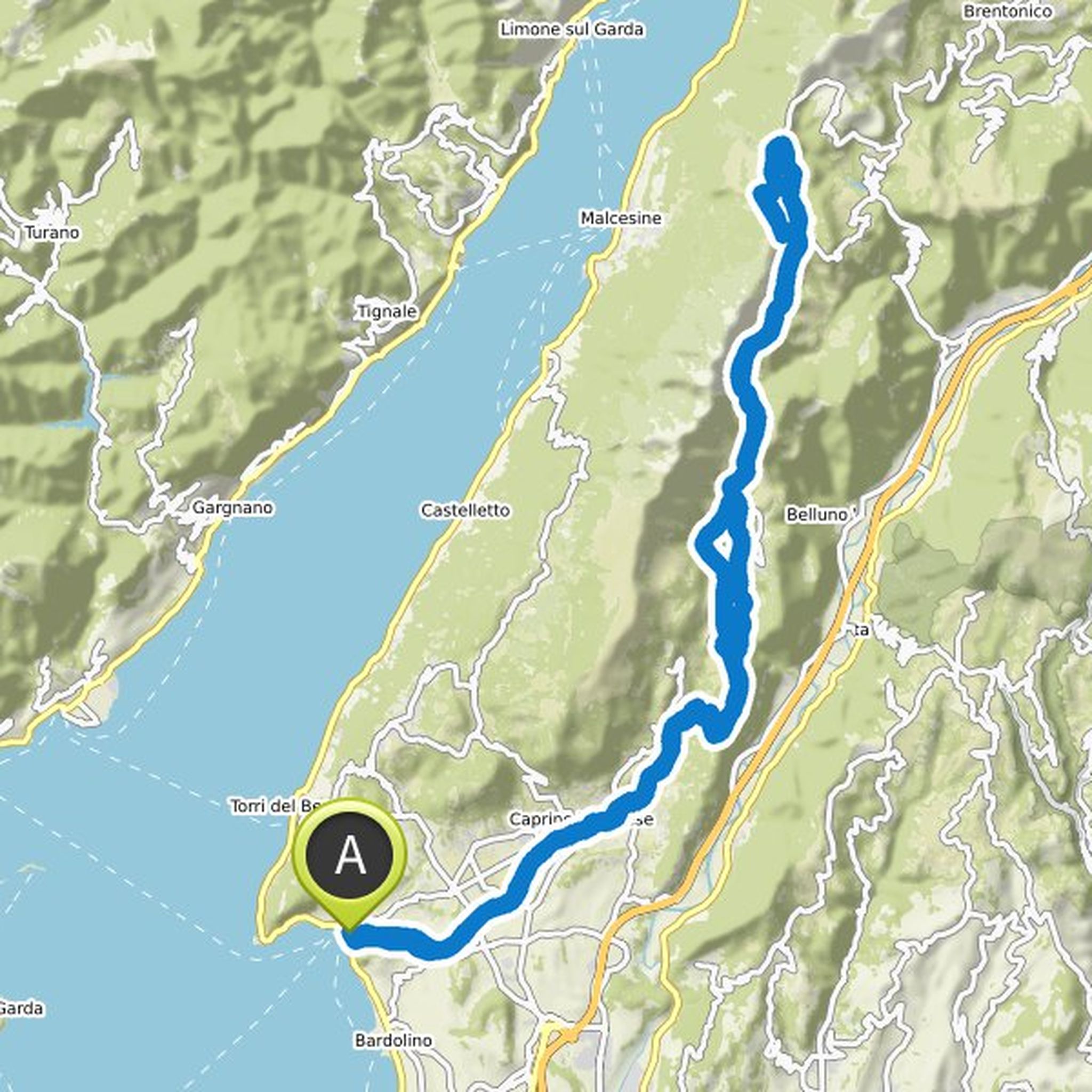
Klaus planned a mountain bike ride
August 31, 2021
Time
Distance
Speed
Ascent
Descent
Klaus planned a mountain bike ride
August 31, 2021
Time
Distance
Speed
Ascent
Descent

Klaus planned a mountain bike ride
August 31, 2021
Time
Distance
Speed
Ascent
Descent

Klaus planned a mountain bike ride
August 31, 2021
Time
Distance
Speed
Ascent
Descent

Klaus planned a mountain bike ride
August 31, 2021
Time
Distance
Speed
Ascent
Descent

Lämmermann and Klaus planned a mountain bike ride
August 29, 2021
Time
Distance
Speed
Ascent
Descent
