Timeline
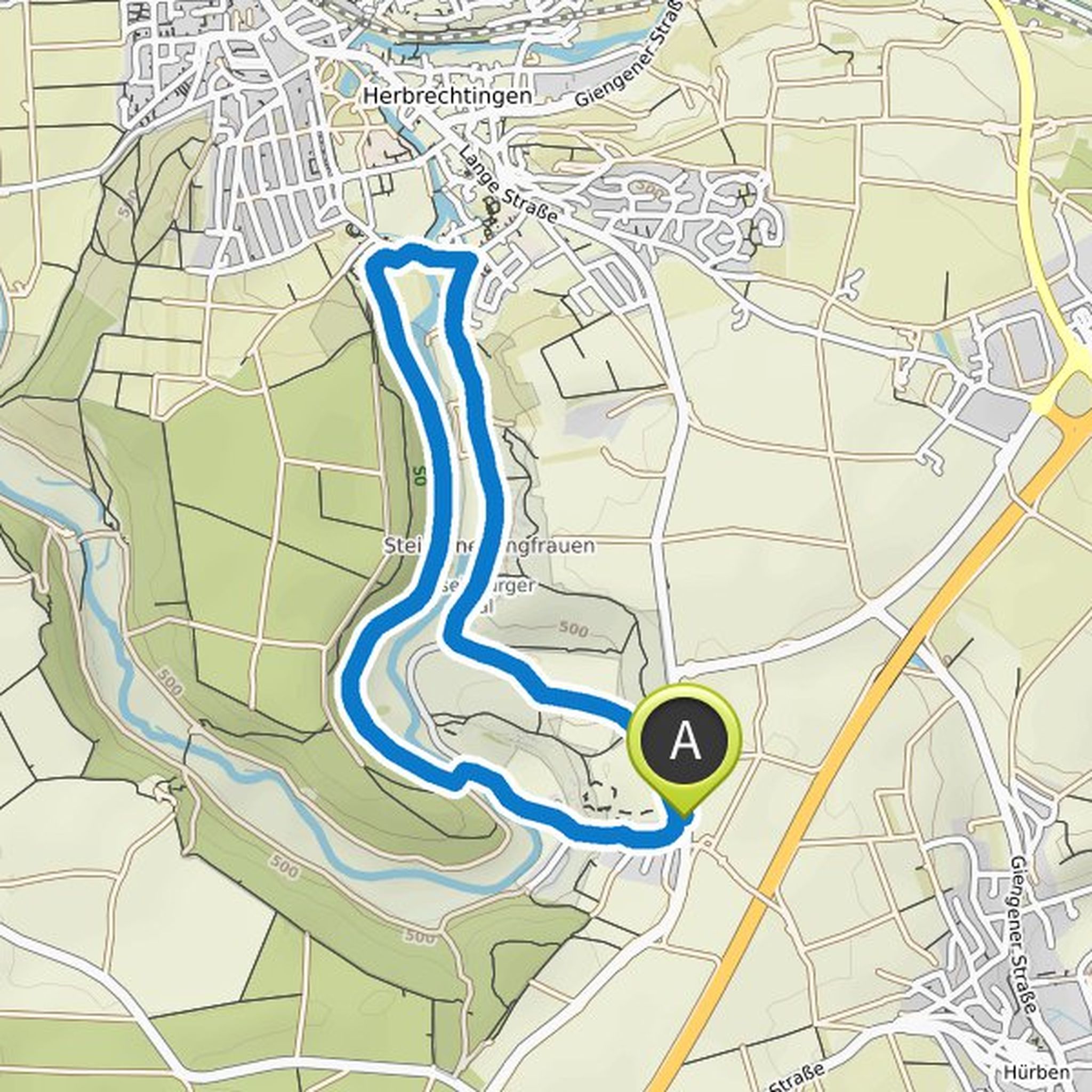
Andreas Mueller planned a hike
February 13, 2022
Time
1h52m
Distance
7.13km
Speed
3.8km/h
Ascent
50m
Descent
60m

Map data © OpenStreetMap contributors
Andreas Mueller planned a hike
September 12, 2021
Time
1h44m
Distance
6.34km
Speed
3.7km/h
Ascent
90m
Descent
90m
Map data © OpenStreetMap contributors
Andreas Mueller planned a hike
August 18, 2021
Time
2h07m
Distance
6.73km
Speed
3.2km/h
Ascent
270m
Descent
270m

Map data © OpenStreetMap contributors
Andreas Mueller planned a hike
August 18, 2021
Time
1h33m
Distance
5.07km
Speed
3.3km/h
Ascent
170m
Descent
170m

Map data © OpenStreetMap contributors
Andreas Mueller planned a hike
August 18, 2021
Time
3h14m
Distance
11.4km
Speed
3.5km/h
Ascent
240m
Descent
240m

Map data © OpenStreetMap contributors
Andreas Mueller planned a hike
August 18, 2021
Time
3h18m
Distance
11.0km
Speed
3.3km/h
Ascent
340m
Descent
340m

Map data © OpenStreetMap contributors
Andreas Mueller planned a bike ride
June 3, 2021
Time
1h41m
Distance
22.2km
Speed
13.2km/h
Ascent
140m
Descent
140m

Map data © OpenStreetMap contributors