Timeline
sunstrike306 planned a hike
November 13, 2022
Time
Distance
Speed
Ascent
Descent
Sarah and sunstrike306 planned a hike
July 23, 2022
Time
Distance
Speed
Ascent
Descent
Sarah and sunstrike306 planned a hike
July 15, 2022
Time
Distance
Speed
Ascent
Descent
Sarah and sunstrike306 planned a hike
June 25, 2022
Time
Distance
Speed
Ascent
Descent
Sarah and sunstrike306 planned a hike
August 17, 2021
Time
Distance
Speed
Ascent
Descent
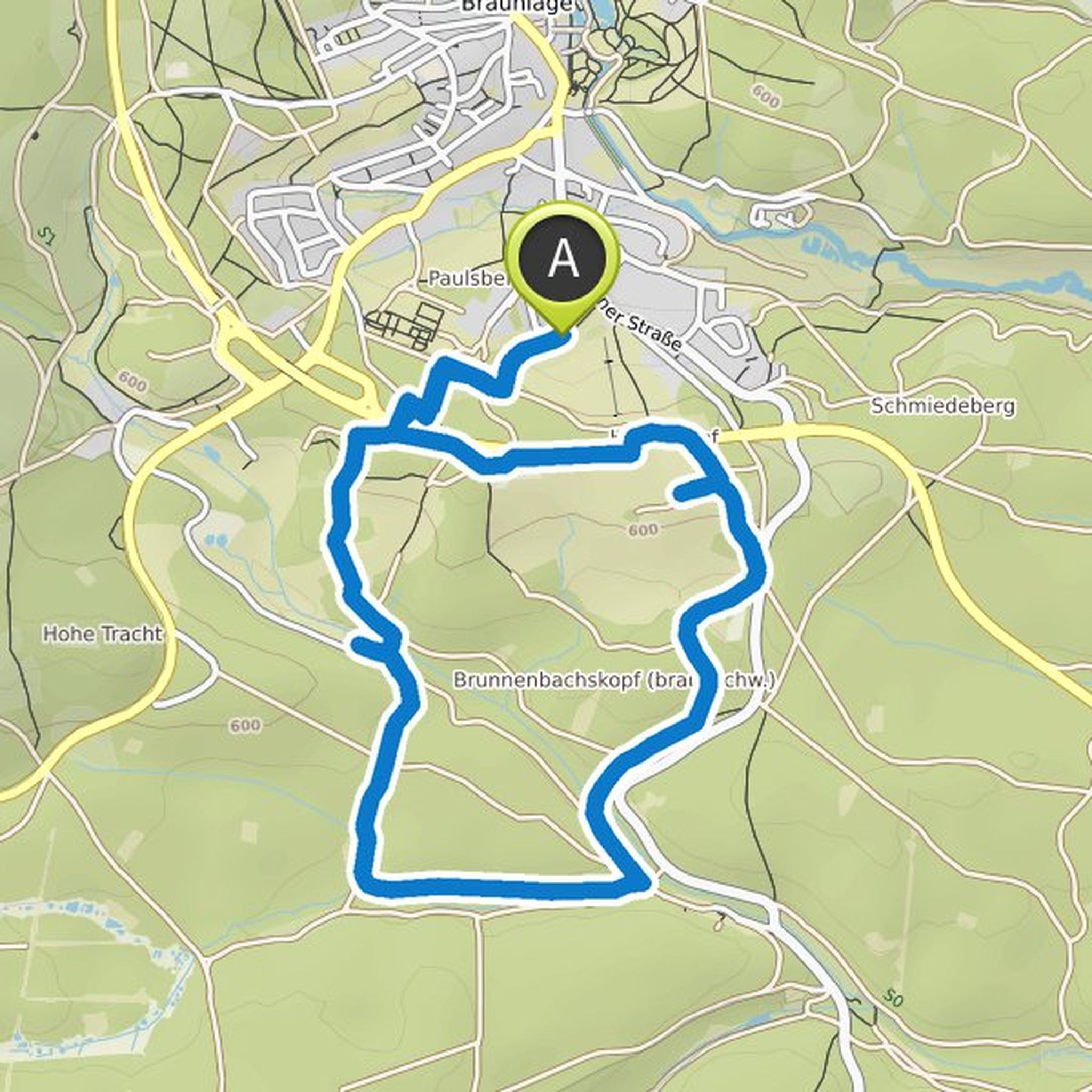
Sarah and sunstrike306 planned a hike
August 16, 2021
Time
Distance
Speed
Ascent
Descent
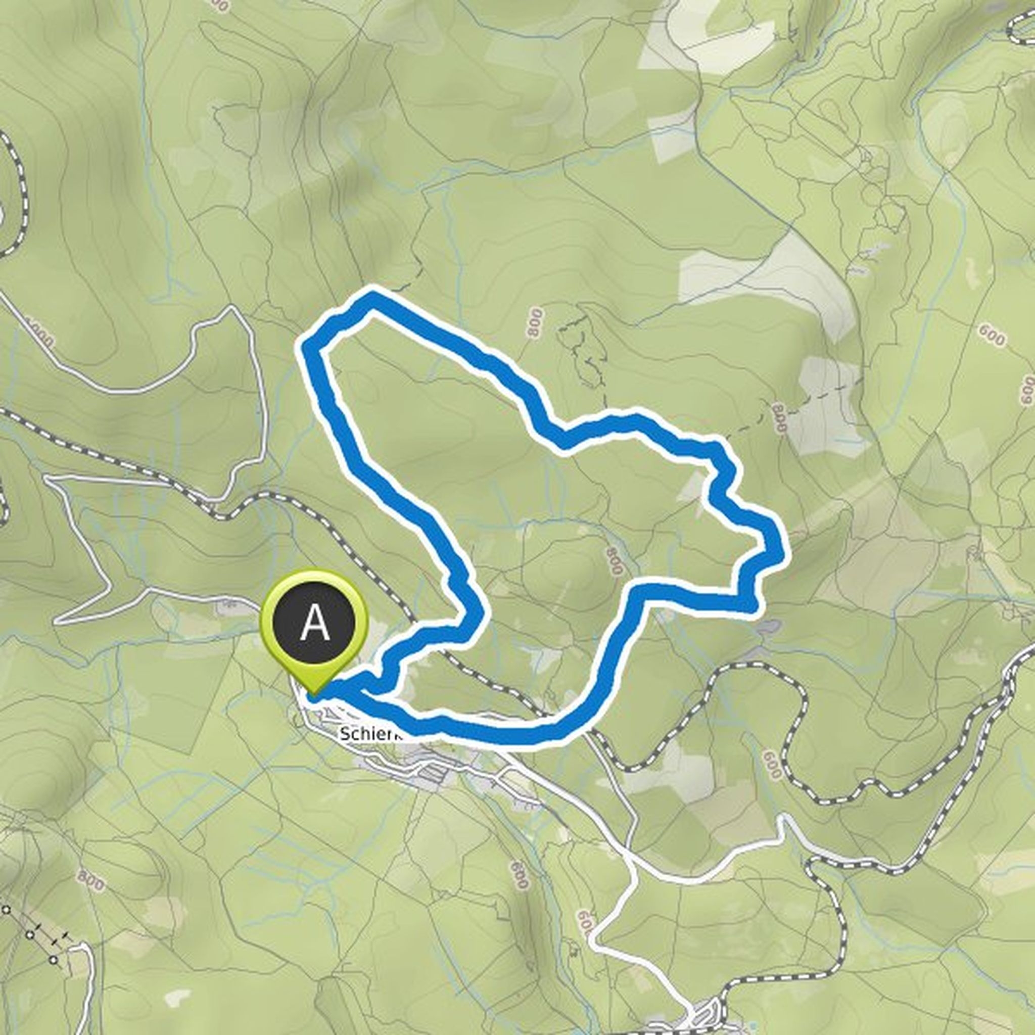
sunstrike306 planned a hike
August 15, 2021
Time
Distance
Speed
Ascent
Descent
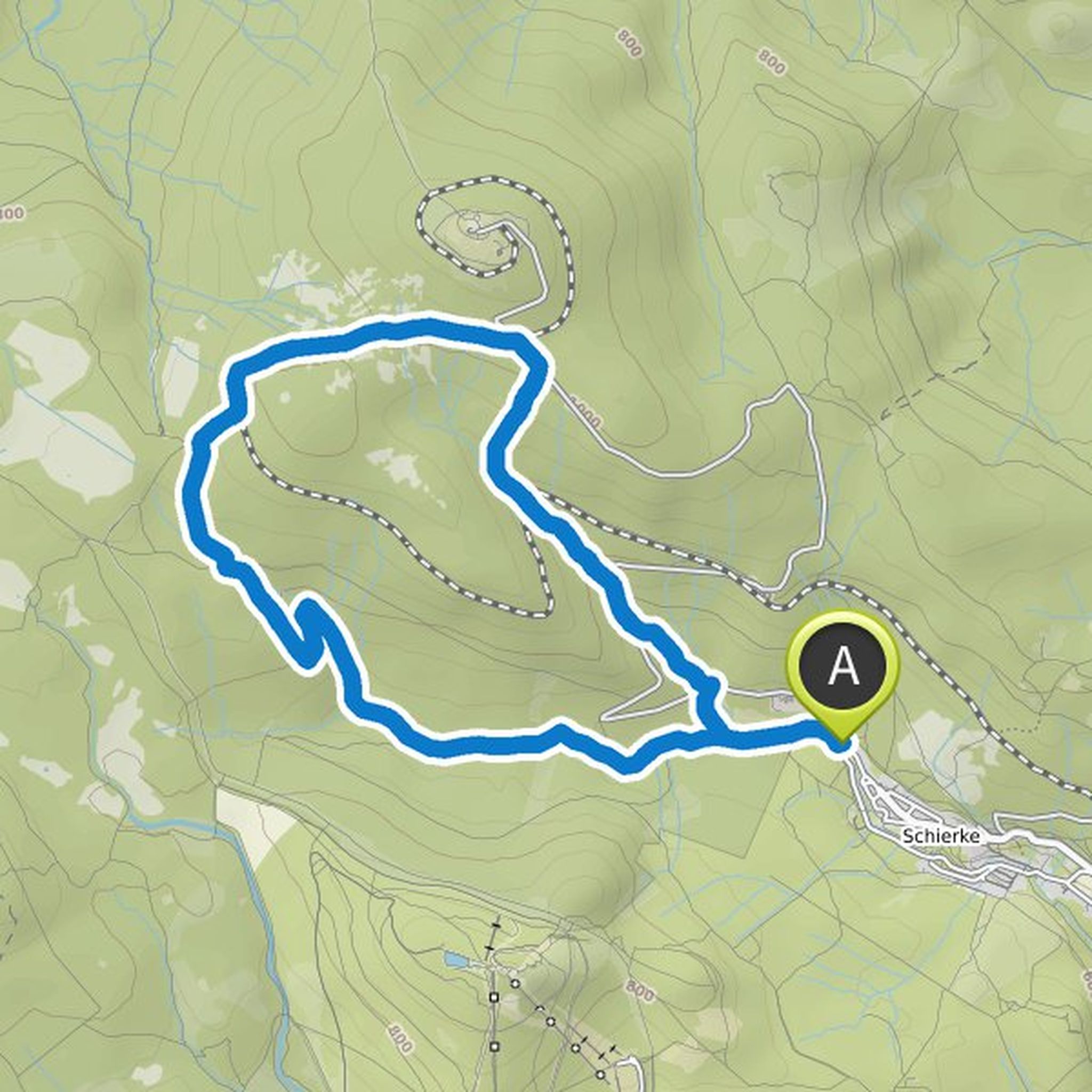
sunstrike306 planned a hike
August 15, 2021
Time
Distance
Speed
Ascent
Descent
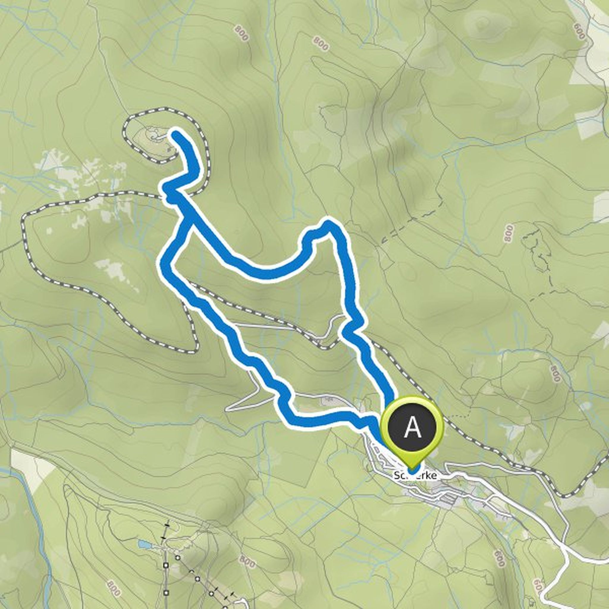
sunstrike306 and Sarah planned a hike
August 14, 2021
Time
Distance
Speed
Ascent
Descent
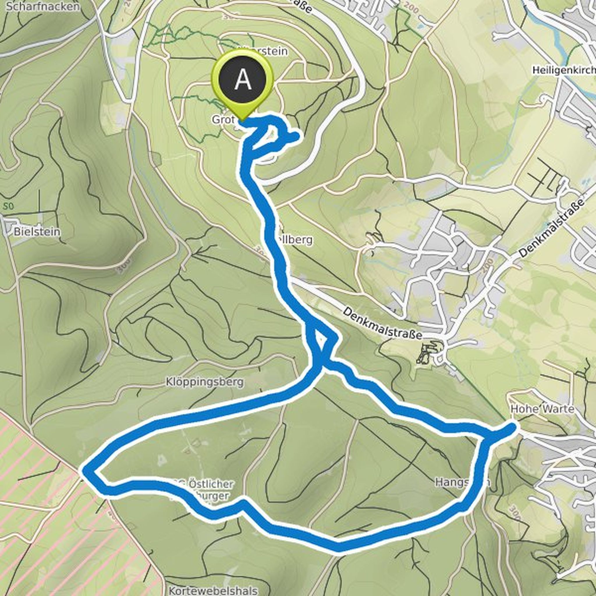
sunstrike306 planned a hike
August 14, 2021
Time
Distance
Speed
Ascent
Descent
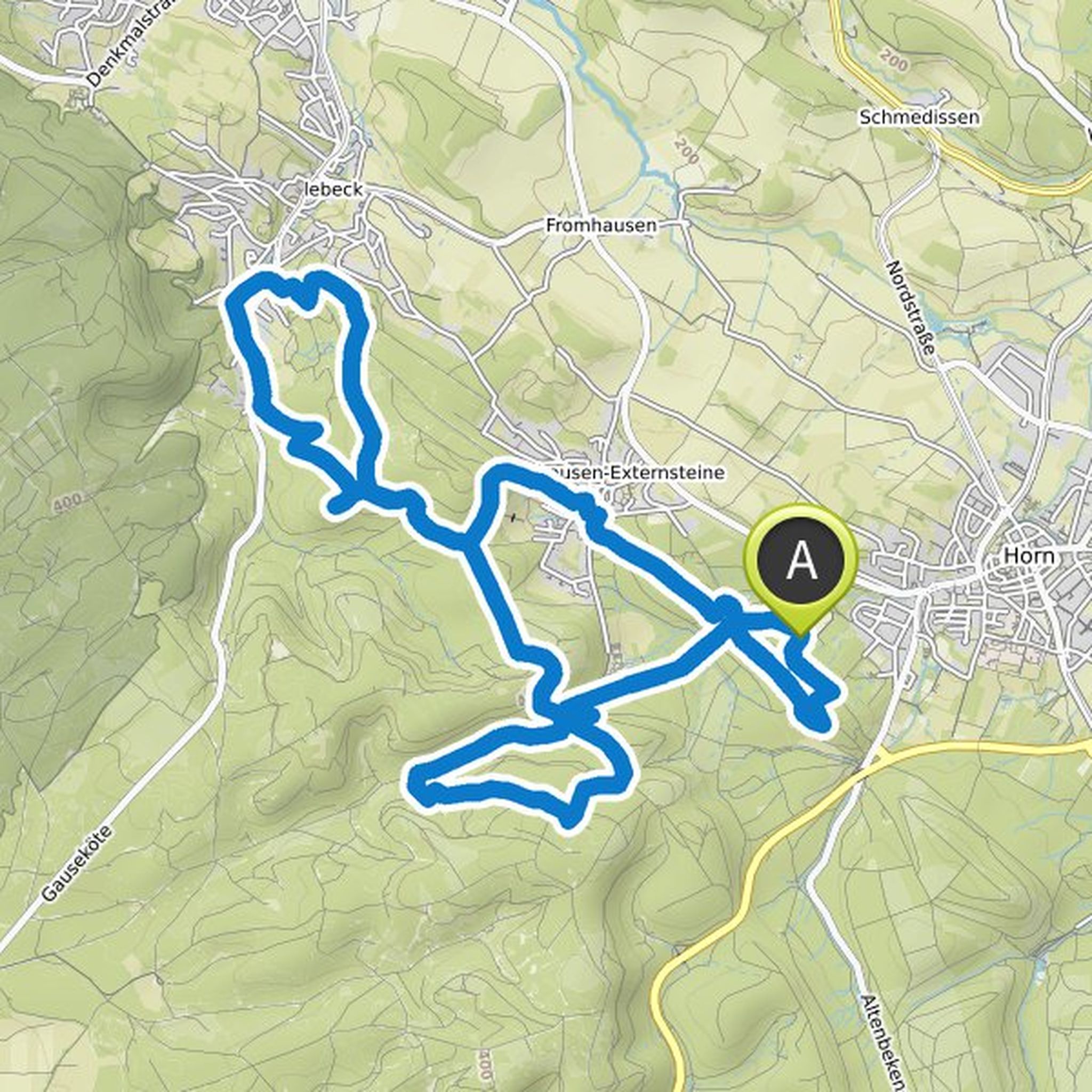
sunstrike306 planned a hike
August 14, 2021
Time
Distance
Speed
Ascent
Descent
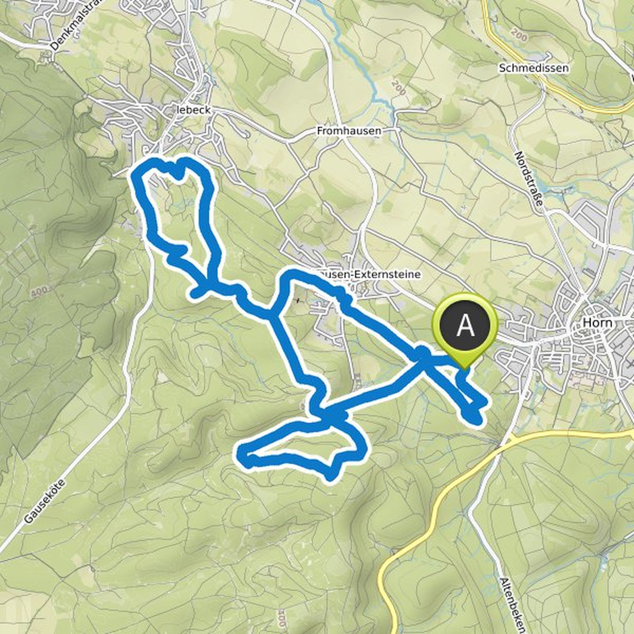
sunstrike306 planned a hike
September 11, 2020
Time
Distance
Speed
Ascent
Descent
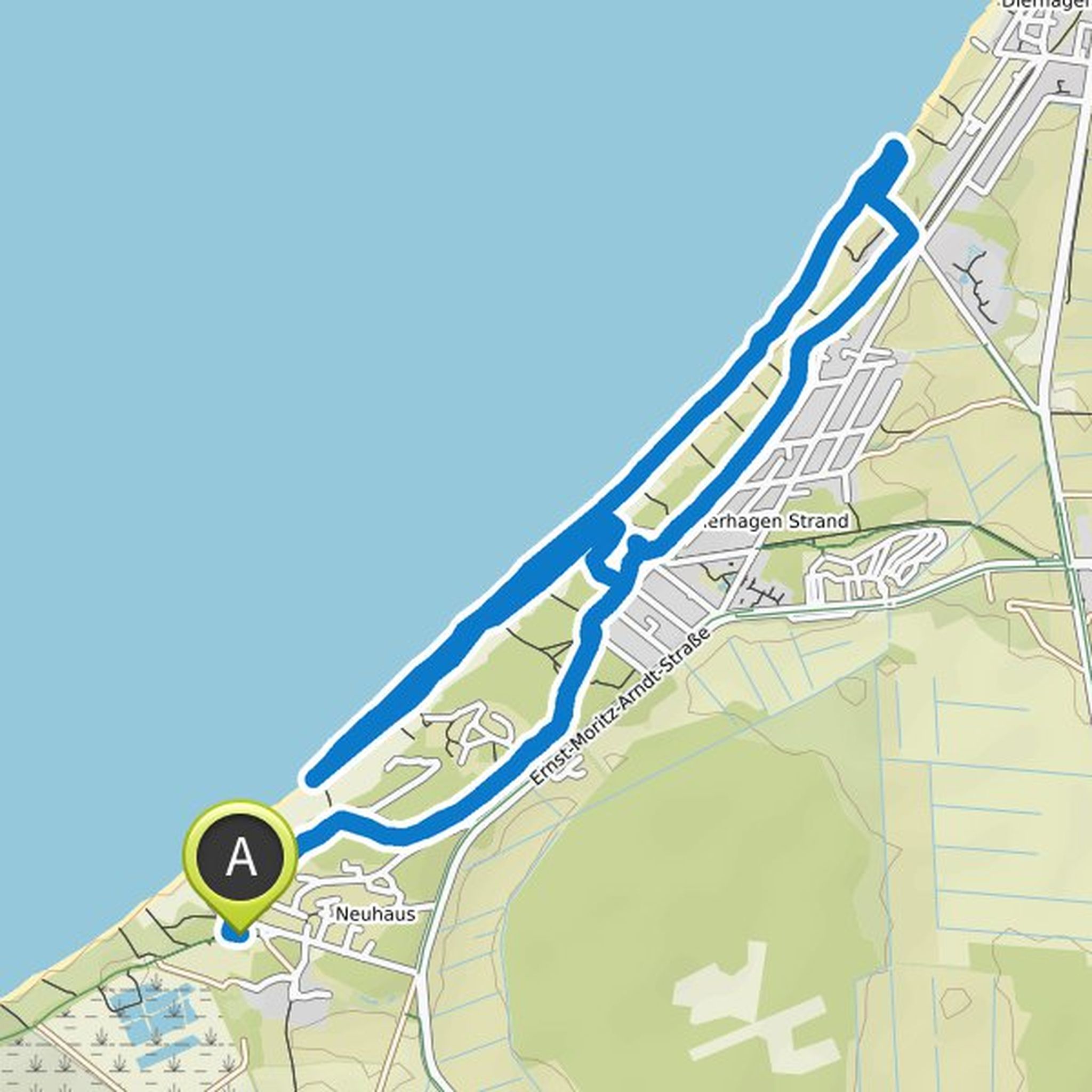
July 16, 2022
So the tour had been quite nice. This leads past two farm shops where there are fresh delicacies. However, she has a big deficit in the last third. The route leads through the middle of a golf course which is expressly designated as private property. The given path leads you directly between the active
Translated by Google •