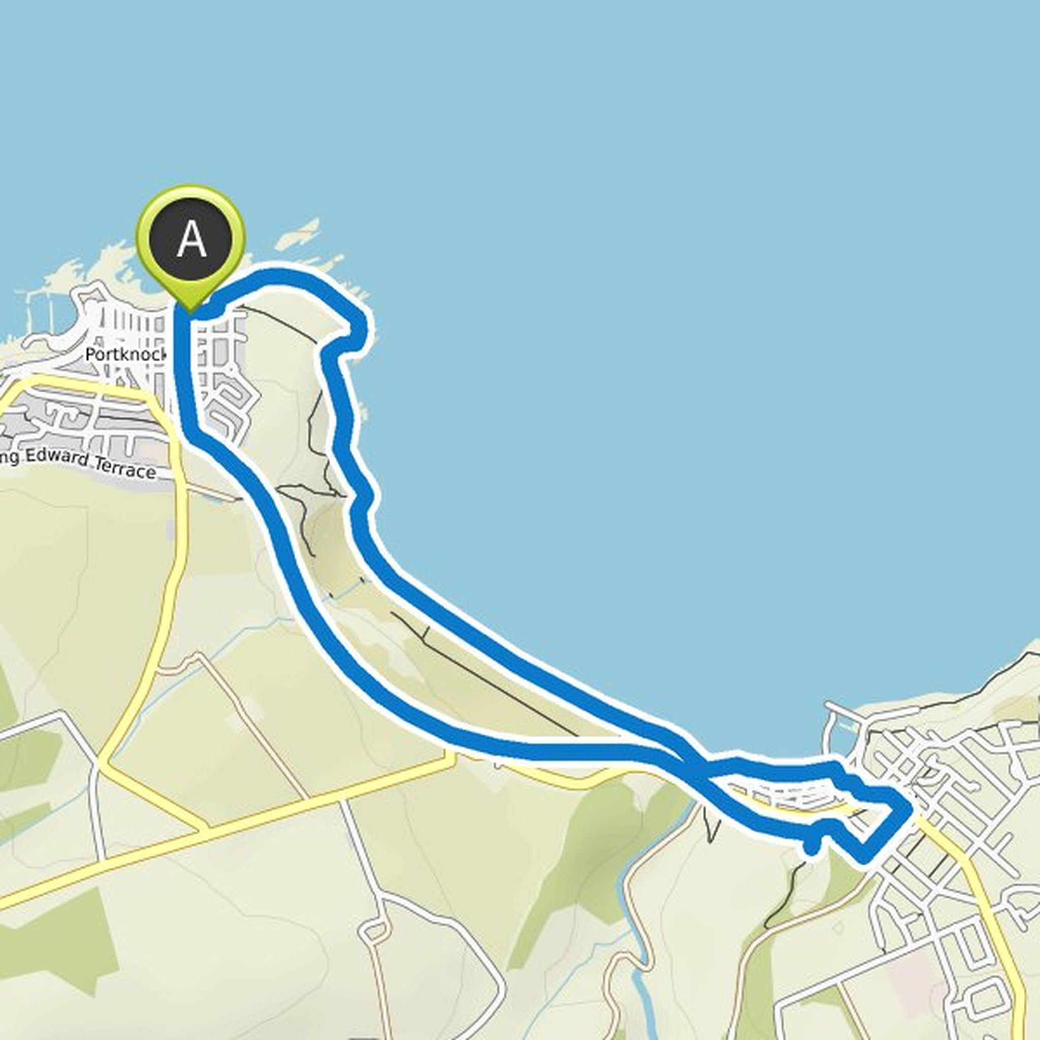
Timeline
Ayah planned a hike
October 1, 2021
Time
0h58m
Distance
3.51km
Speed
3.6km/h
Ascent
60m
Descent
50m

Map data © OpenStreetMap contributors
Ayah planned a hike
October 1, 2021
Time
0h53m
Distance
3.16km
Speed
3.6km/h
Ascent
60m
Descent
60m

Map data © OpenStreetMap contributors
Ayah planned a hike
October 1, 2021
Time
2h33m
Distance
9.46km
Speed
3.7km/h
Ascent
120m
Descent
120m

Map data © OpenStreetMap contributors
Ayah planned a hike
October 1, 2021
Time
1h24m
Distance
5.43km
Speed
3.9km/h
Ascent
30m
Descent
30m

Map data © OpenStreetMap contributors
Ayah planned a hike
October 1, 2021
Time
1h30m
Distance
5.82km
Speed
3.9km/h
Ascent
30m
Descent
40m
Map data © OpenStreetMap contributors
Ayah planned a hike
October 1, 2021
Time
0h53m
Distance
3.16km
Speed
3.6km/h
Ascent
60m
Descent
60m

Map data © OpenStreetMap contributors
Ayah planned a hike
October 1, 2021
Time
1h52m
Distance
7.03km
Speed
3.8km/h
Ascent
70m
Descent
70m

Map data © OpenStreetMap contributors
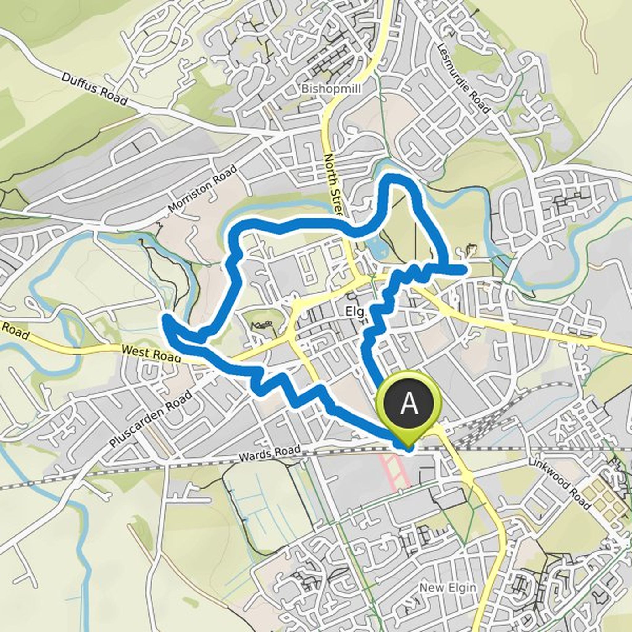
Ayah planned a hike
October 1, 2021
Time
1h46m
Distance
6.67km
Speed
3.8km/h
Ascent
70m
Descent
70m
Map data © OpenStreetMap contributors
Ayah planned a hike
October 16, 2020
Time
3h13m
Distance
10.9km
Speed
3.4km/h
Ascent
210m
Descent
200m

Map data © OpenStreetMap contributors
Time
3h56m
Distance
14.2km
Speed
3.6km/h
Ascent
260m
Descent
250m

Map data © OpenStreetMap contributors
Time
2h29m
Distance
8.79km
Speed
3.5km/h
Ascent
190m
Descent
190m

Map data © OpenStreetMap contributors
Ayah planned a hike
September 4, 2020
Time
4h11m
Distance
15.8km
Speed
3.8km/h
Ascent
160m
Descent
160m

Map data © OpenStreetMap contributors
September 24, 2020
We went on this hike. Really good. However, there is a bridge that's out of service. We tool a picture of it. If you go back a few meters, there's another way climbing up a hill but it's the only alternative path that won't take you all the way around.
It's th bridge just after landmark 4. You can see