Timeline
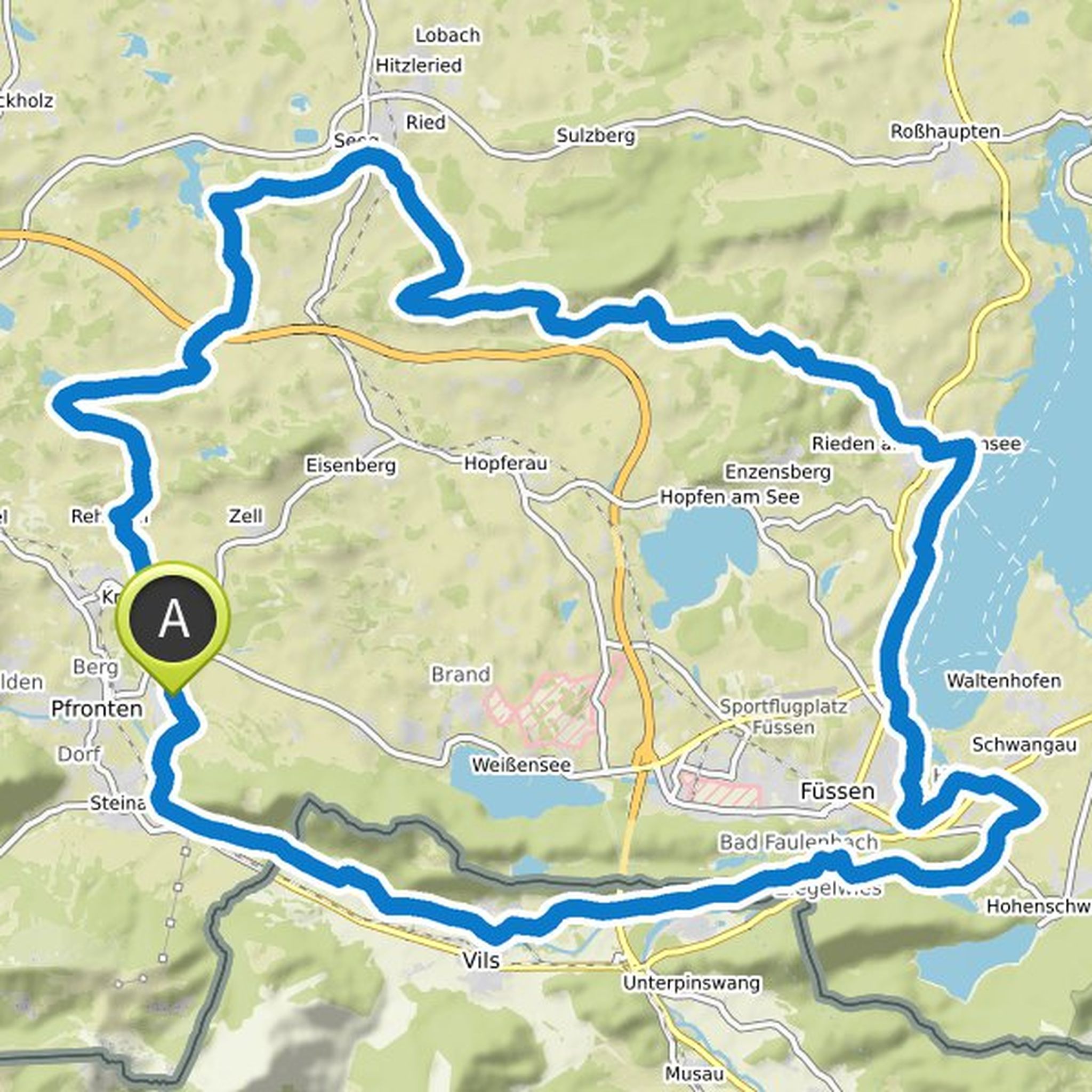
degolf planned a hike
June 23, 2022
Time
Distance
Speed
Ascent
Descent
degolf planned a hike
June 23, 2022
Time
Distance
Speed
Ascent
Descent
degolf planned a hike
June 23, 2022
Time
Distance
Speed
Ascent
Descent
degolf planned a hike
June 23, 2022
Time
Distance
Speed
Ascent
Descent
degolf planned a hike
June 23, 2022
Time
Distance
Speed
Ascent
Descent
degolf planned a hike
June 4, 2022
Time
Distance
Speed
Ascent
Descent
degolf planned a hike
June 4, 2022
Time
Distance
Speed
Ascent
Descent
degolf planned a hike
June 4, 2022
Time
Distance
Speed
Ascent
Descent
degolf planned a hike
March 6, 2022
Time
Distance
Speed
Ascent
Descent

degolf planned a hike
December 5, 2021
Time
Distance
Speed
Ascent
Descent

degolf planned a hike
December 5, 2021
Time
Distance
Speed
Ascent
Descent

degolf planned a bike ride
September 8, 2021
Time
Distance
Speed
Ascent
Descent

degolf planned a bike ride
September 4, 2021
Time
Distance
Speed
Ascent
Descent
degolf planned a bike ride
September 4, 2021
Time
Distance
Speed
Ascent
Descent

degolf planned a bike ride
September 2, 2021
Time
Distance
Speed
Ascent
Descent
