Timeline
Chris planned a hike
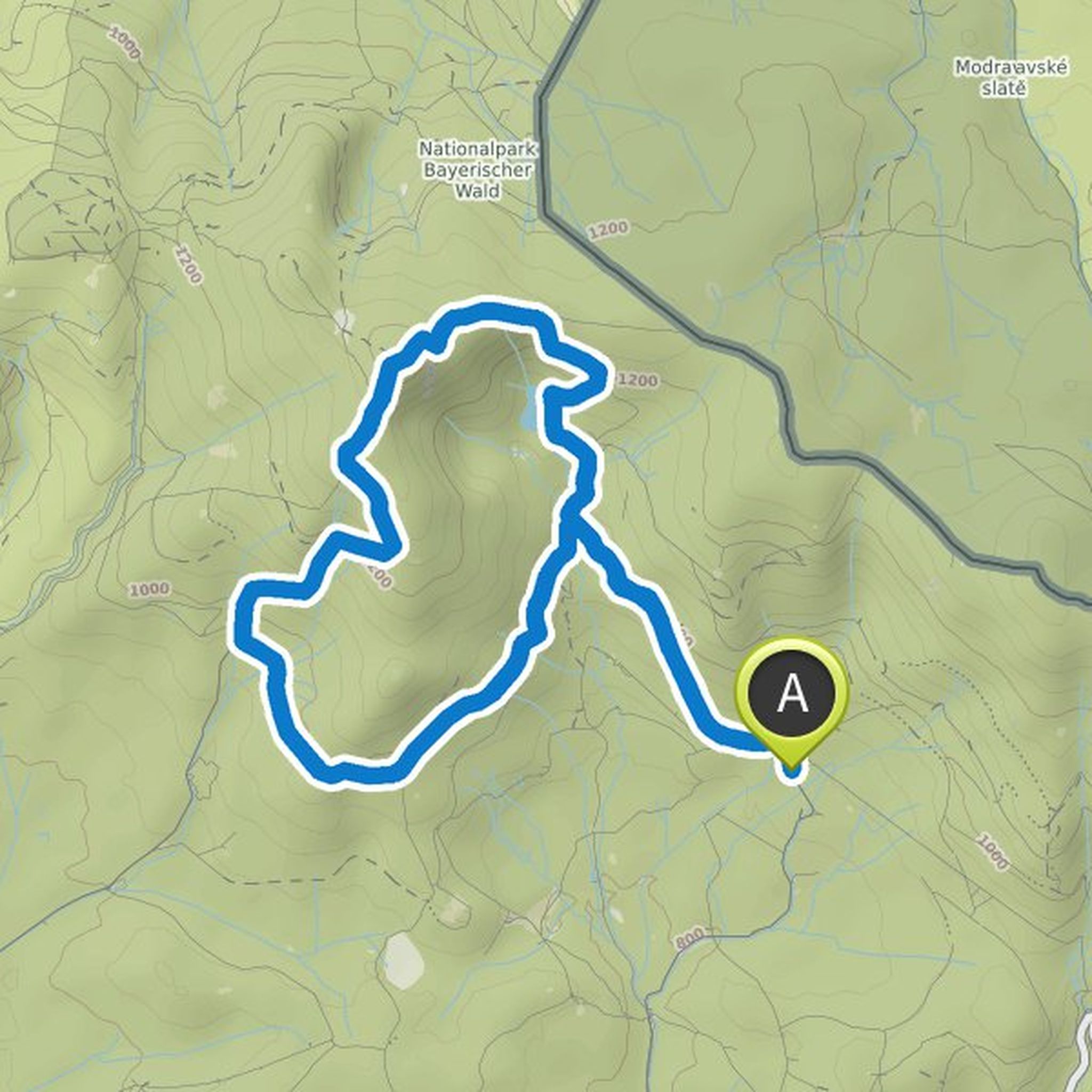
October 12, 2022
Time
Distance
Speed
Ascent
Descent
Chris planned a hike
October 12, 2022
Time
Distance
Speed
Ascent
Descent
Chris planned a hike
October 12, 2022
Time
Distance
Speed
Ascent
Descent
Chris planned a hike
October 8, 2022
Time
Distance
Speed
Ascent
Descent
Chris planned a hike
September 15, 2022
Time
Distance
Speed
Ascent
Descent
Chris planned a hike
September 15, 2022
Time
Distance
Speed
Ascent
Descent
Chris planned a hike
September 15, 2022
Time
Distance
Speed
Ascent
Descent
Chris planned a hike
August 10, 2022
Time
Distance
Speed
Ascent
Descent
Chris planned a hike
August 10, 2022
Time
Distance
Speed
Ascent
Descent
Chris planned a hike
August 10, 2022
Time
Distance
Speed
Ascent
Descent
Chris planned a hike
March 11, 2022
Time
Distance
Speed
Ascent
Descent

Chris planned a hike
October 7, 2021
Time
Distance
Speed
Ascent
Descent
Chris planned a hike
October 4, 2021
Time
Distance
Speed
Ascent
Descent

Chris planned a road ride
July 31, 2021
Time
Distance
Speed
Ascent
Descent

Chris planned a hike
May 26, 2021
Time
Distance
Speed
Ascent
Descent
