Timeline
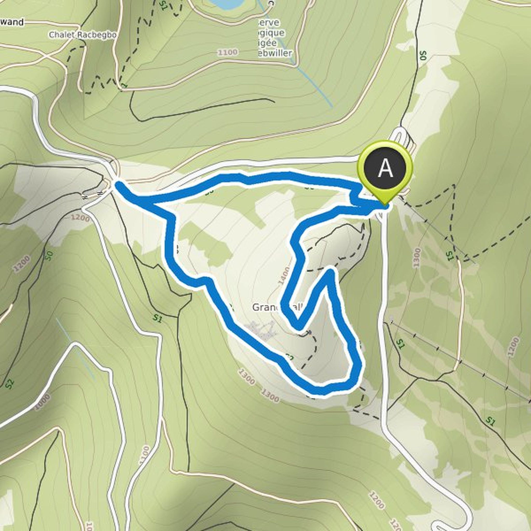
Tink Bell planned a hike
July 24, 2022
Time
Distance
Speed
Ascent
Descent
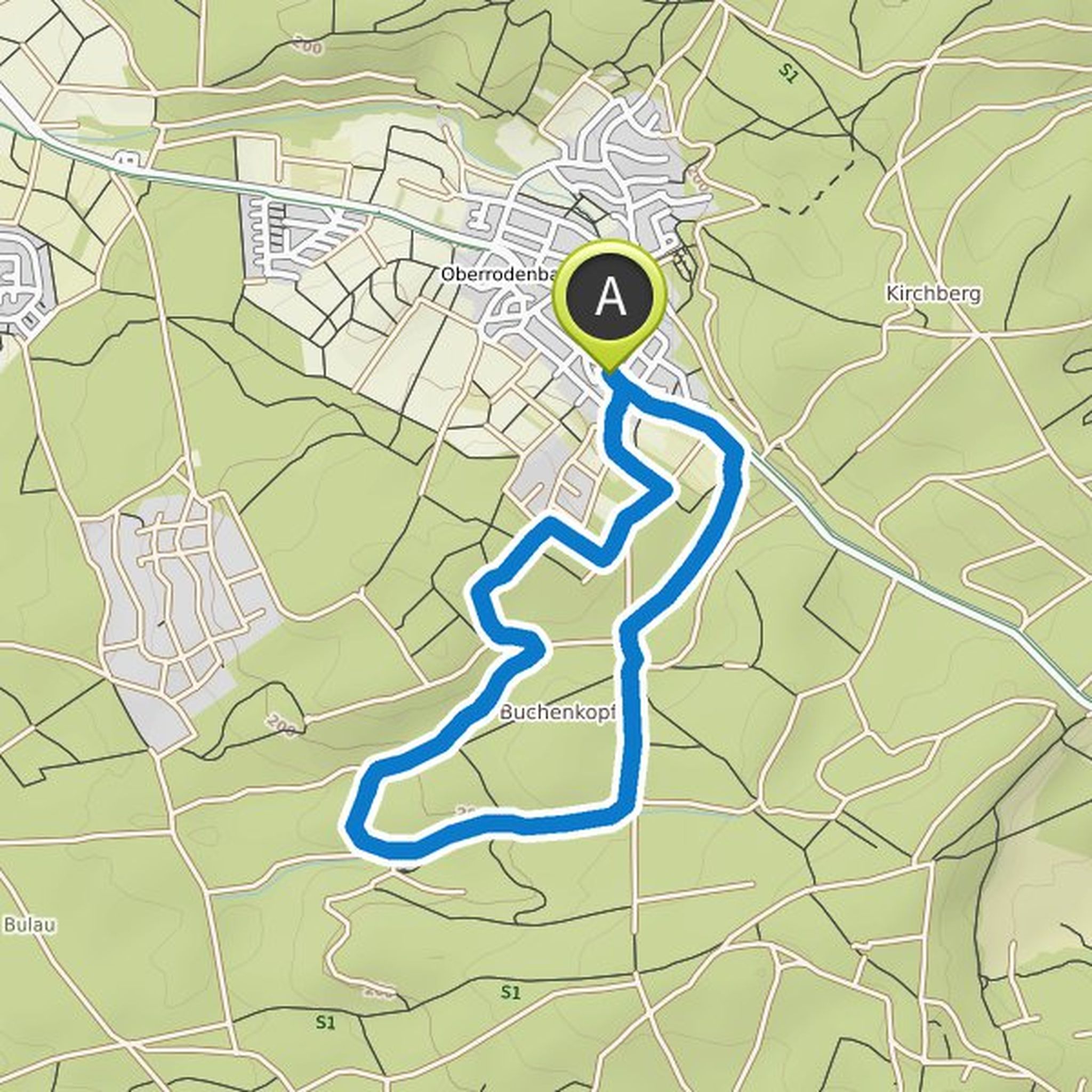
Tink Bell planned a hike
July 23, 2022
Time
Distance
Speed
Ascent
Descent
Tink Bell planned a hike
July 23, 2022
Time
Distance
Speed
Ascent
Descent
Tink Bell planned a hike
July 23, 2022
Time
Distance
Speed
Ascent
Descent
Tink Bell planned a hike
April 3, 2022
Time
Distance
Speed
Ascent
Descent
Tink Bell planned a hike
April 3, 2022
Time
Distance
Speed
Ascent
Descent
Tink Bell planned a hike
April 3, 2022
Time
Distance
Speed
Ascent
Descent
Tink Bell planned a hike
April 3, 2022
Time
Distance
Speed
Ascent
Descent
Tink Bell planned a hike
April 3, 2022
Time
Distance
Speed
Ascent
Descent

Tink Bell planned a hike
October 13, 2021
Time
Distance
Speed
Ascent
Descent

Tink Bell planned a hike
October 13, 2021
Time
Distance
Speed
Ascent
Descent

Time
Distance
Speed
Ascent
Descent
Time
Distance
Speed
Ascent
Descent

Stadtkind and others planned a hike
July 30, 2021
Time
Distance
Speed
Ascent
Descent
Time
Distance
Speed
Ascent
Descent

Stadtkind likes this.
July 27, 2021
Absolute recommendation! The first half is totally rustic, the second leads on very well-kept paths through orchards at the edge of the forest... sometimes there are blatant insights into the modern forest world: on one side of the path classic beech forest, on the other pine forest in distress...
Translated by Google •
October 3, 2021
Top hike if you are interested in the climate crisis. Here you can see the blatant consequences and we get an idea of how it will end if we don't make it!
Translated by Google •