Timeline
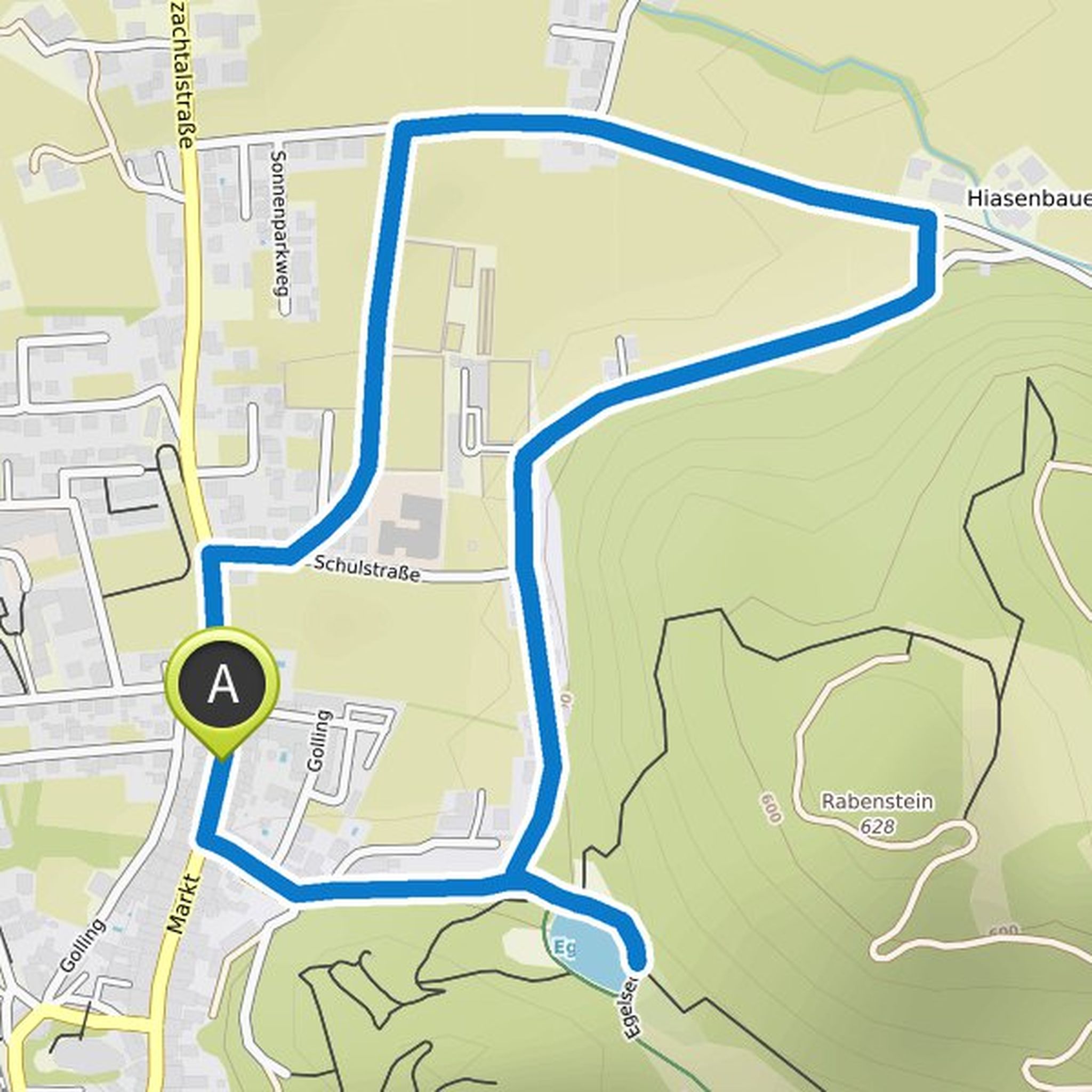
Chris Rokven planned a hike
July 14, 2021
Time
Distance
Speed
Ascent
Descent

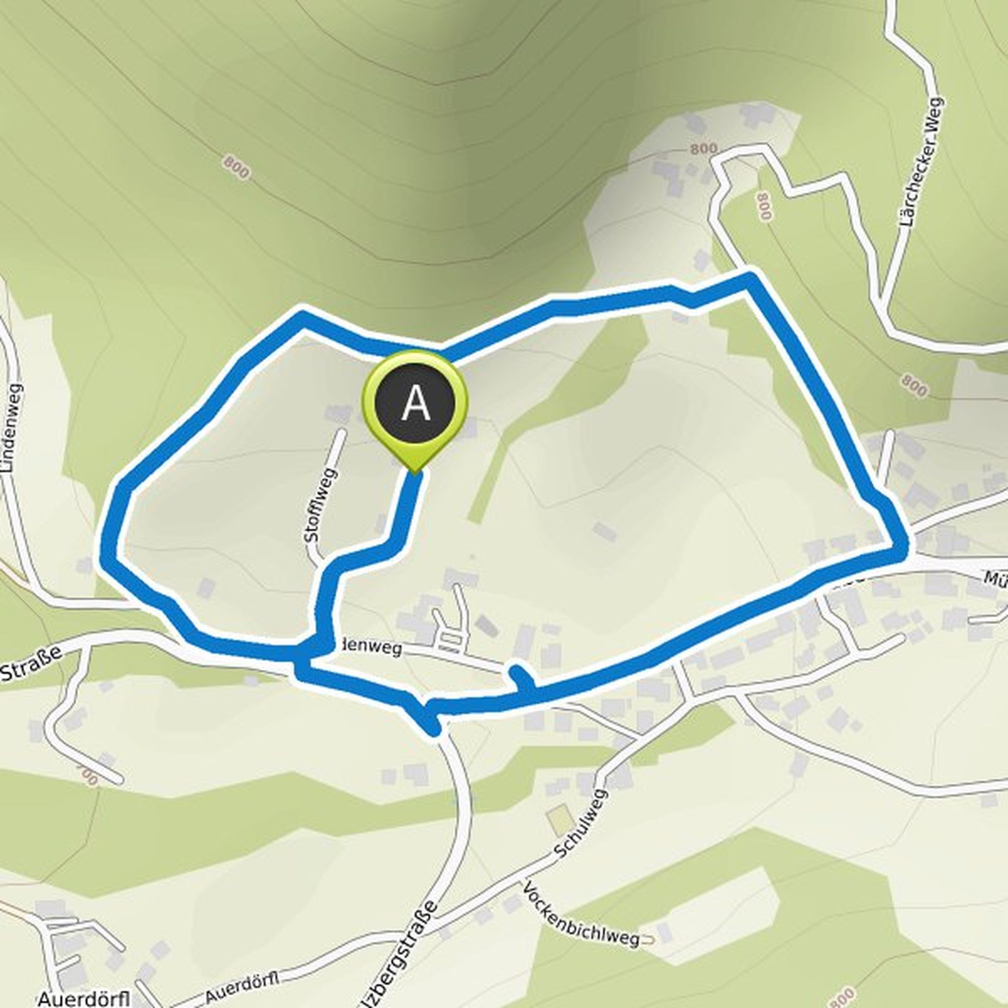
Chris Rokven planned a hike
July 14, 2021
Time
Distance
Speed
Ascent
Descent

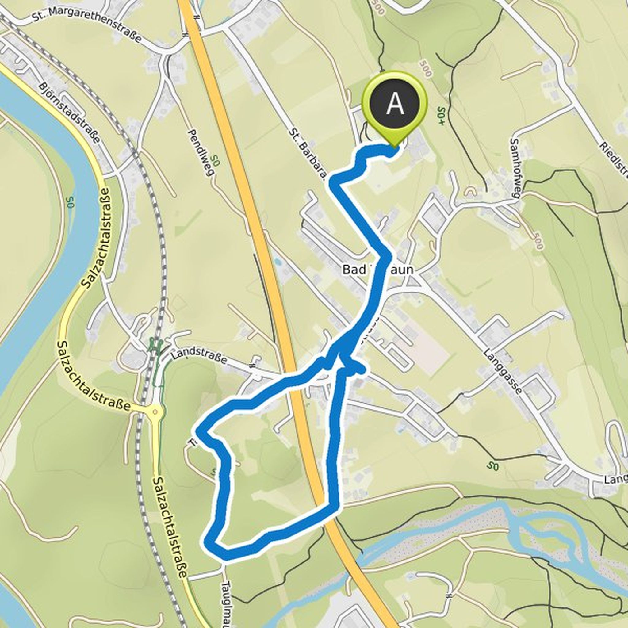
Chris Rokven planned a hike
July 14, 2021
Time
Distance
Speed
Ascent
Descent
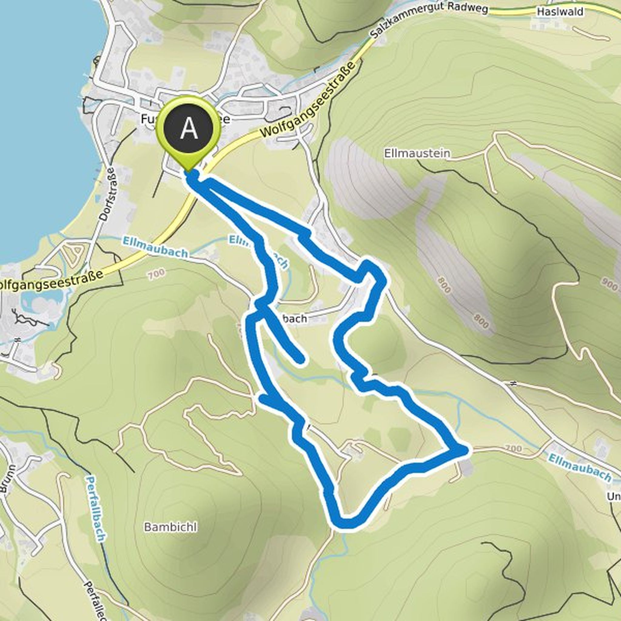
Chris Rokven planned a hike
July 14, 2021
Time
Distance
Speed
Ascent
Descent

Chris Rokven planned a hike
July 14, 2021
Time
Distance
Speed
Ascent
Descent

Chris Rokven planned a hike
July 14, 2021
Time
Distance
Speed
Ascent
Descent

Chris Rokven planned a hike
July 14, 2021
Time
Distance
Speed
Ascent
Descent

Chris Rokven planned a hike
July 14, 2021
Time
Distance
Speed
Ascent
Descent
Chris Rokven planned a hike
July 14, 2021
Time
Distance
Speed
Ascent
Descent

Chris Rokven planned a hike
July 14, 2021
Time
Distance
Speed
Ascent
Descent

Chris Rokven planned a hike
July 14, 2021
Time
Distance
Speed
Ascent
Descent

Chris Rokven planned a hike
July 14, 2021
Time
Distance
Speed
Ascent
Descent

Chris Rokven planned a hike
July 14, 2021
Time
Distance
Speed
Ascent
Descent
Chris Rokven planned a hike
July 14, 2021
Time
Distance
Speed
Ascent
Descent
Chris Rokven planned a hike
July 14, 2021
Time
Distance
Speed
Ascent
Descent
