Timeline
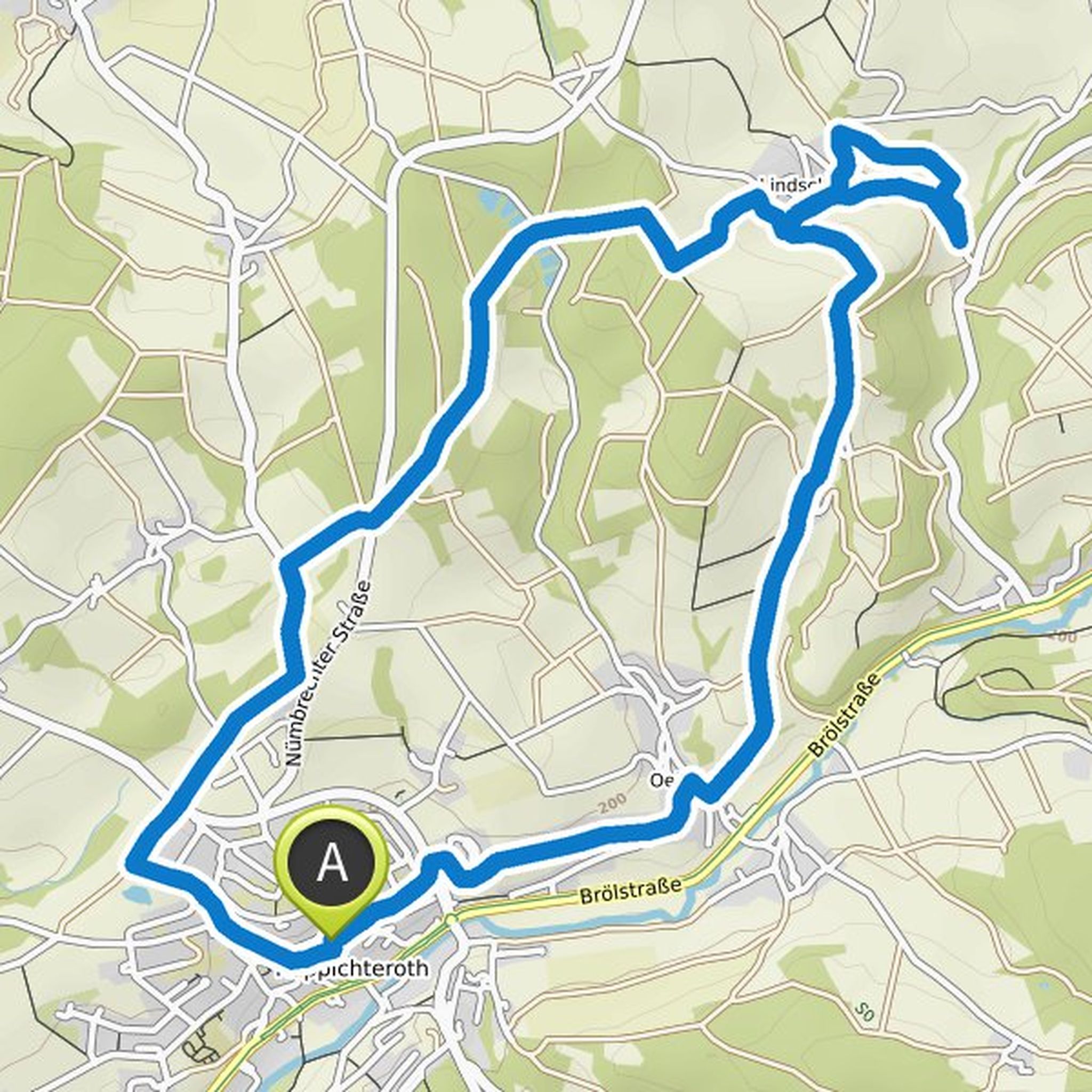
Frank Figura planned a hike
September 22, 2022
Time
Distance
Speed
Ascent
Descent
Frank Figura planned a hike
September 20, 2022
Time
Distance
Speed
Ascent
Descent
Frank Figura planned a hike
July 10, 2021
Time
Distance
Speed
Ascent
Descent
Frank Figura planned a hike
June 27, 2021
Time
Distance
Speed
Ascent
Descent

Kirsten Schoenenborn and others planned a hike
June 12, 2021
Time
Distance
Speed
Ascent
Descent

Frank Figura planned a hike
June 5, 2021
Time
Distance
Speed
Ascent
Descent

Frank Figura planned a hike
June 5, 2021
Time
Distance
Speed
Ascent
Descent
Frank Figura planned a hike
June 5, 2021
Time
Distance
Speed
Ascent
Descent

Frank Figura and others planned a hike
May 29, 2021
Time
Distance
Speed
Ascent
Descent

Frank Figura planned a hike
May 29, 2021
Time
Distance
Speed
Ascent
Descent
Frank Figura planned a hike
May 29, 2021
Time
Distance
Speed
Ascent
Descent
Frank Figura planned a hike
May 29, 2021
Time
Distance
Speed
Ascent
Descent

Frank Figura planned a hike
May 29, 2021
Time
Distance
Speed
Ascent
Descent