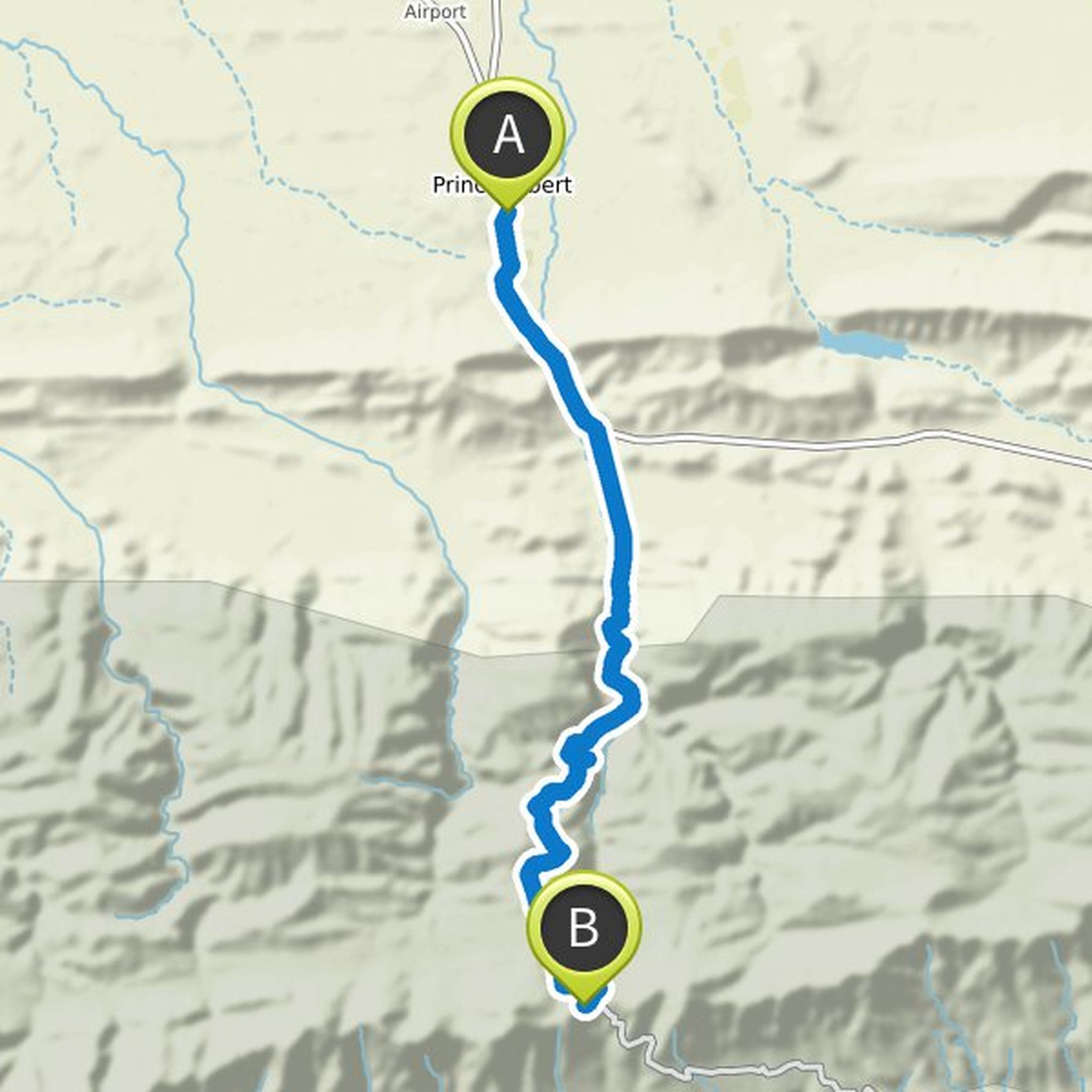
Timeline
PrinceAlbertMicroadventures planned a hike
December 22, 2020
Time
Distance
Speed
Ascent
Descent

martinduys likes this.
PrinceAlbertMicroadventures planned a run
December 22, 2020
Time
Distance
Pace
Ascent
Descent

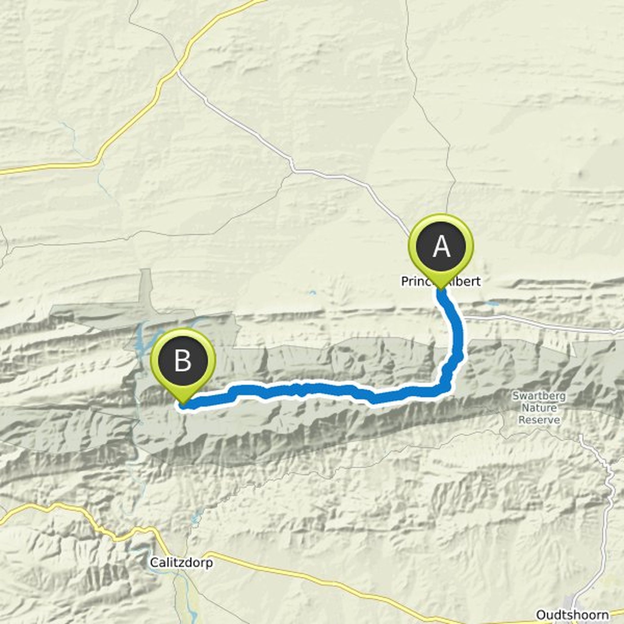
PrinceAlbertMicroadventures planned a mountain bike ride
December 22, 2020
Time
Distance
Speed
Ascent
Descent

PrinceAlbertMicroadventures planned a hike
December 22, 2020
Time
Distance
Speed
Ascent

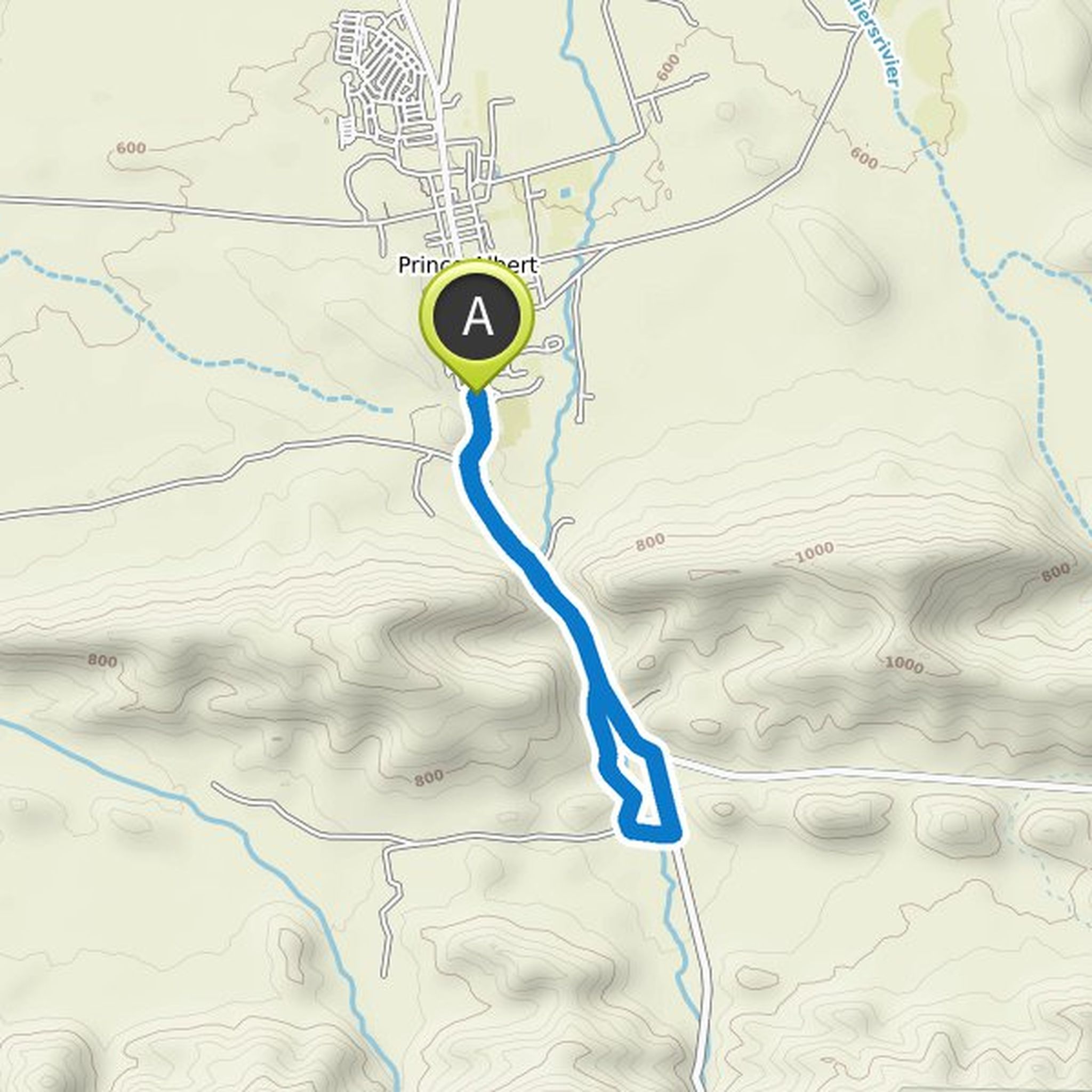
PrinceAlbertMicroadventures planned a mountain bike ride
December 21, 2020
Time
Distance
Speed
Ascent
Descent

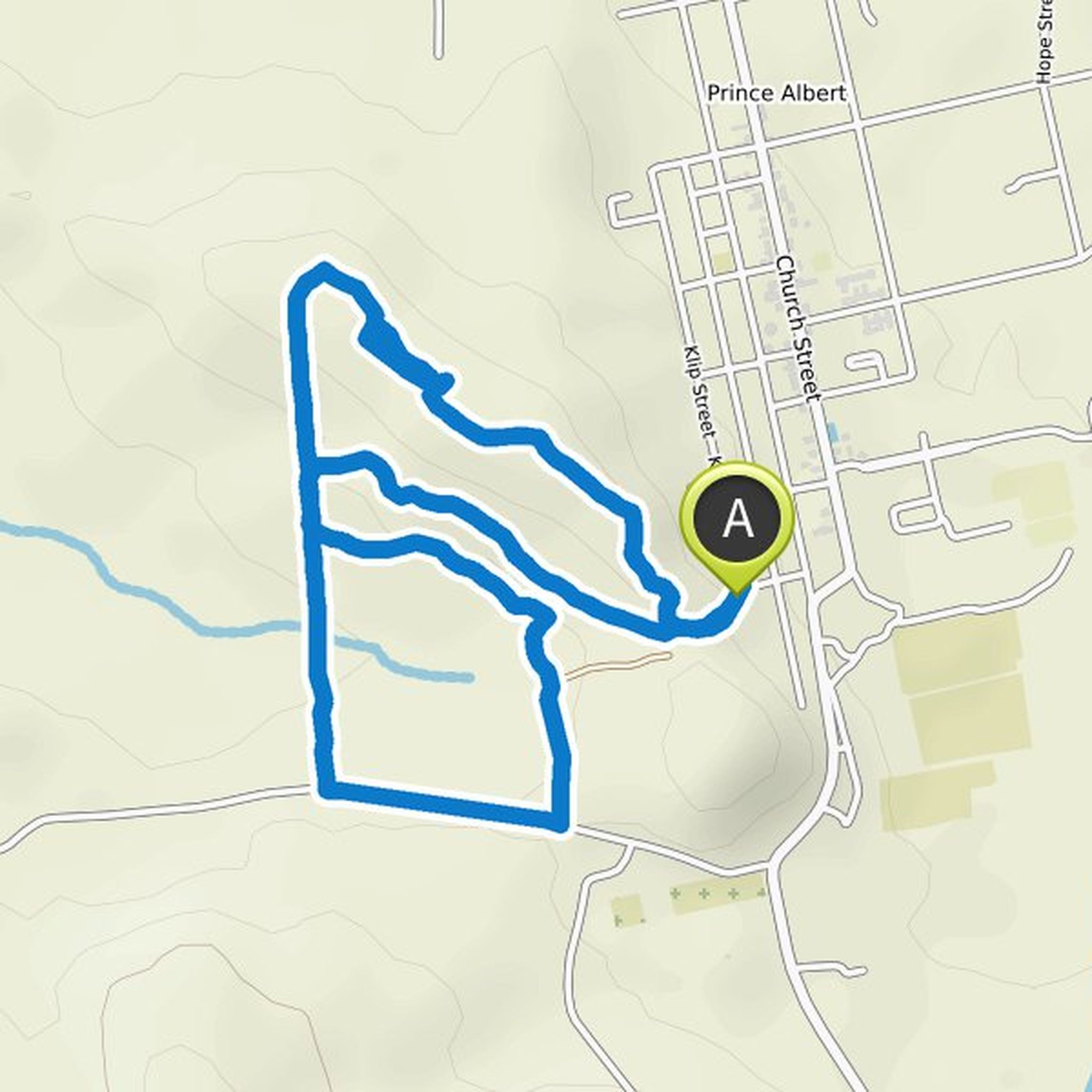
PrinceAlbertMicroadventures planned a mountain bike ride
December 21, 2020
Time
Distance
Speed
Ascent
Descent
PrinceAlbertMicroadventures planned a bike ride
December 21, 2020
Time
Distance
Speed
Ascent
Descent

PrinceAlbertMicroadventures planned a hike
December 21, 2020
Time
Distance
Speed
Ascent
Descent

martinduys likes this.
PrinceAlbertMicroadventures planned a bike ride
December 21, 2020
Time
Distance
Speed
Ascent
Descent

PrinceAlbertMicroadventures planned a mountain bike ride
December 21, 2020
Time
Distance
Speed
Ascent
Descent
PrinceAlbertMicroadventures planned a run
December 21, 2020
Time
Distance
Pace
Ascent
Descent
PrinceAlbertMicroadventures planned a bike ride
December 21, 2020
Time
Distance
Speed
Ascent
Descent

PrinceAlbertMicroadventures planned a hike
December 21, 2020
Time
Distance
Speed
Ascent
Descent

eugenevdm likes this.
PrinceAlbertMicroadventures planned a hike
December 21, 2020
Time
Distance
Speed
Ascent
Descent
PrinceAlbertMicroadventures planned a gravel ride
December 21, 2020
Time
Distance
Speed
Ascent
Descent
