Timeline
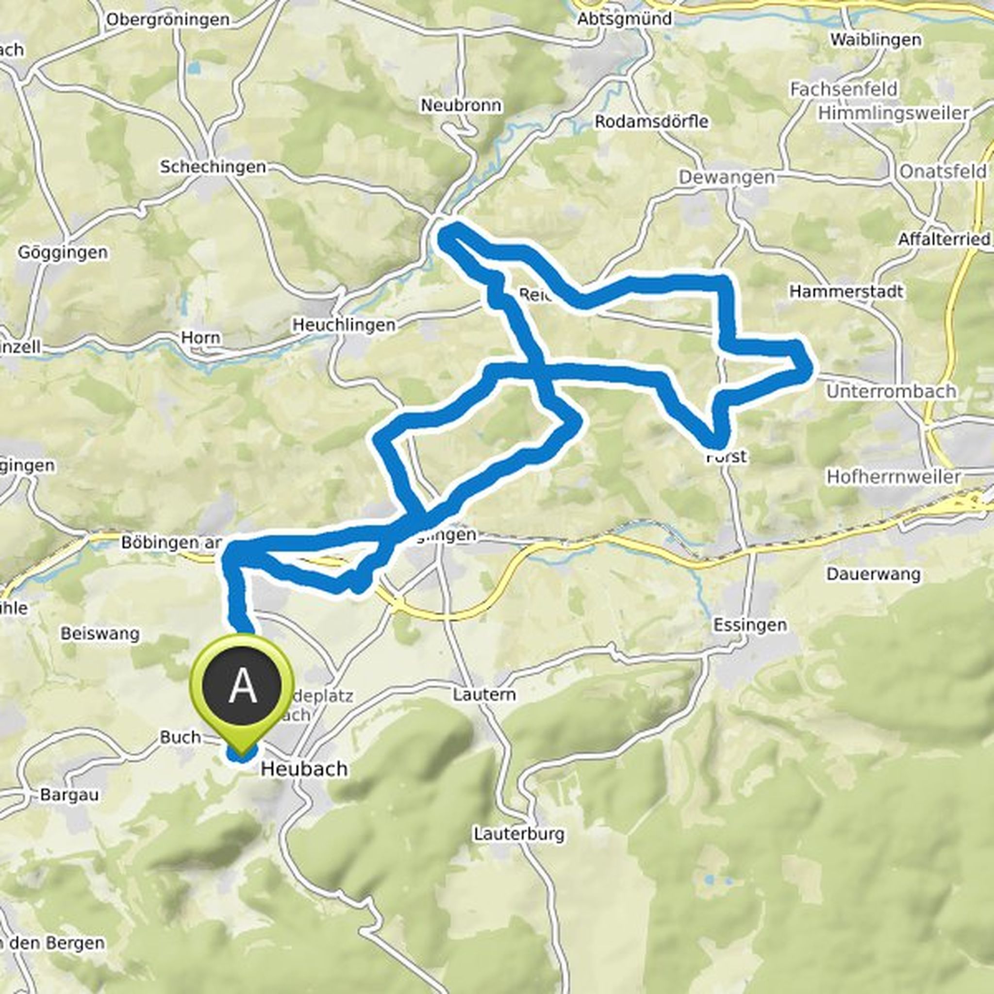
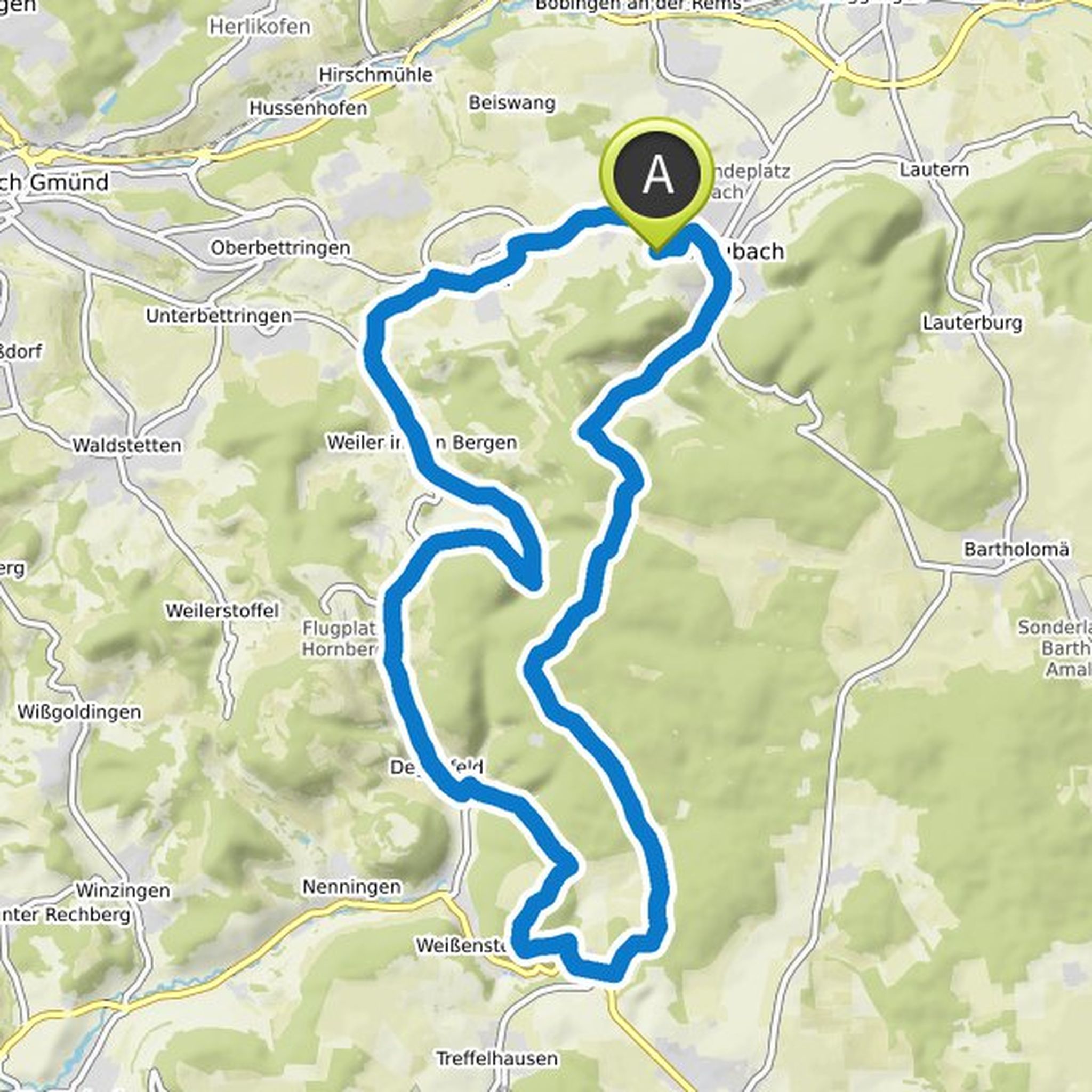
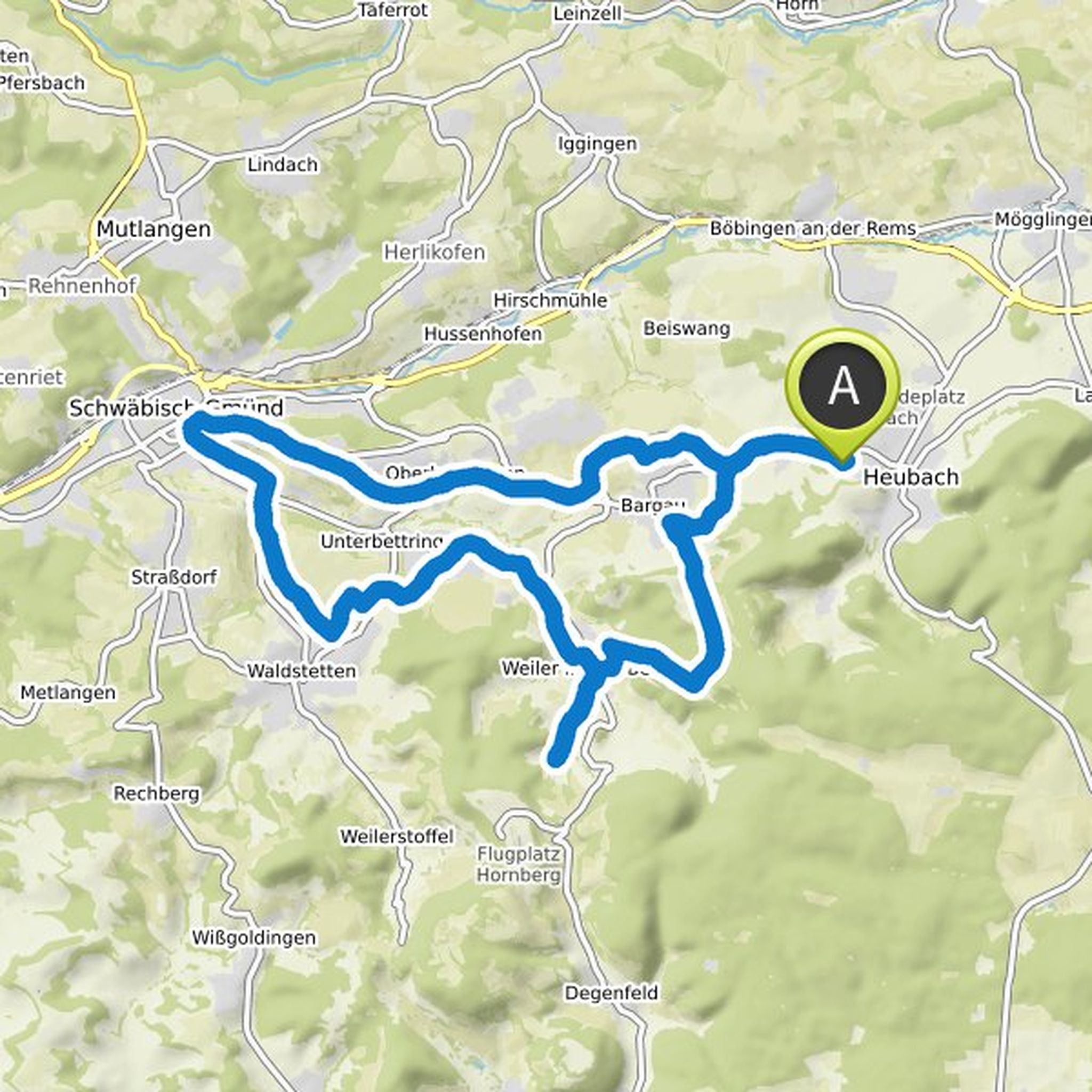
Wolfgang Stall planned a hike
November 4, 2023
Time
Distance
Speed
Ascent
Descent
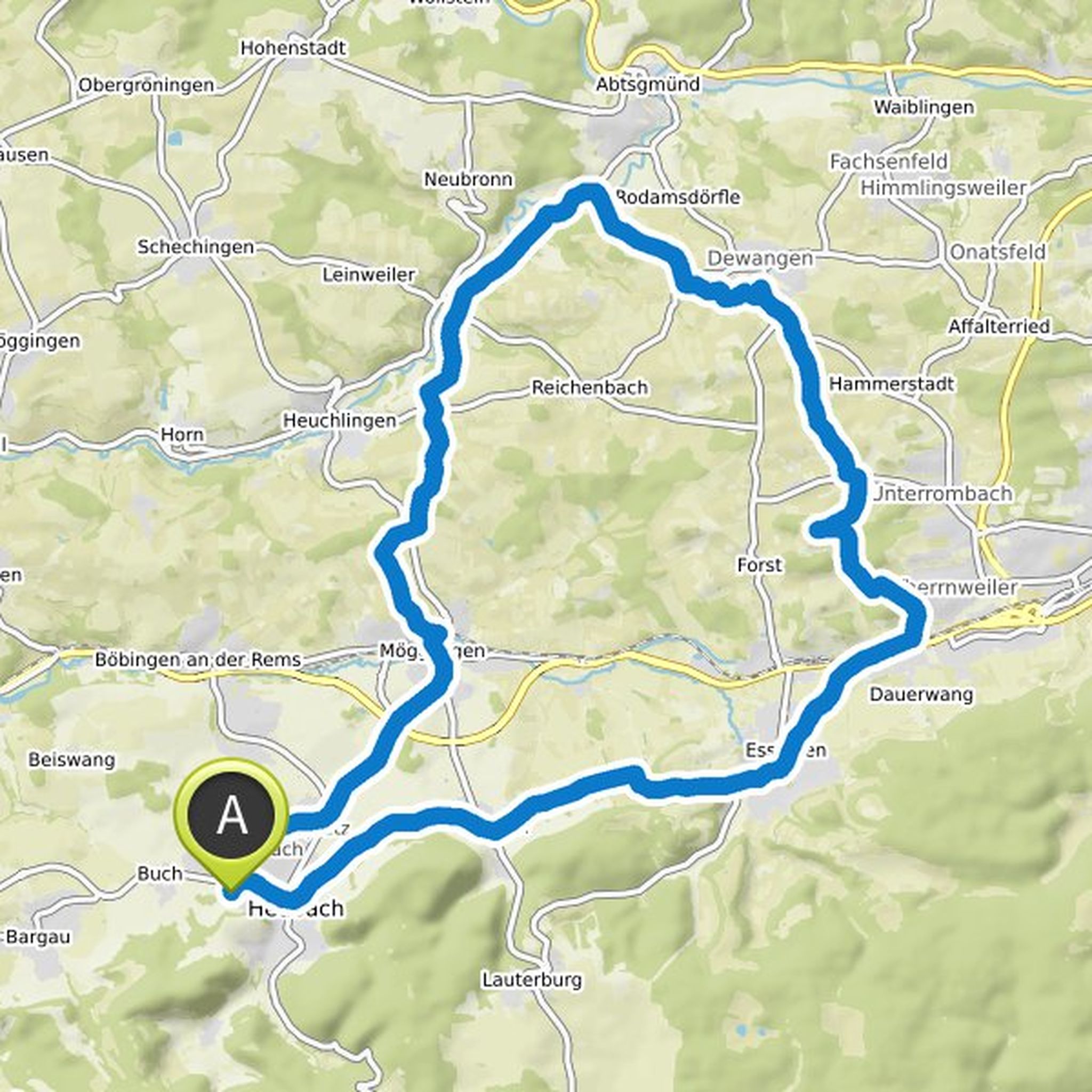
Wolfgang Stall planned a hike
May 26, 2022
Time
Distance
Speed
Ascent
Descent
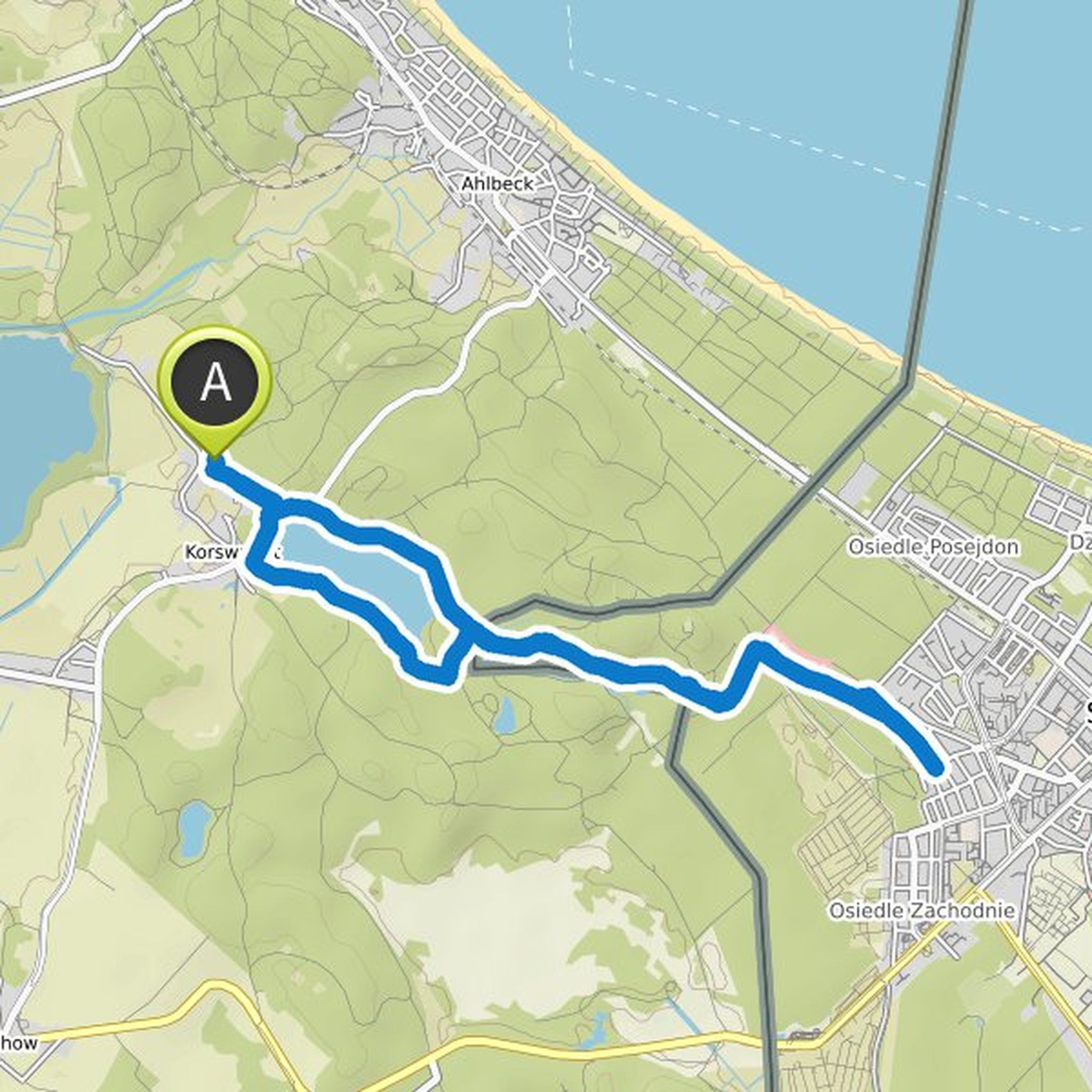
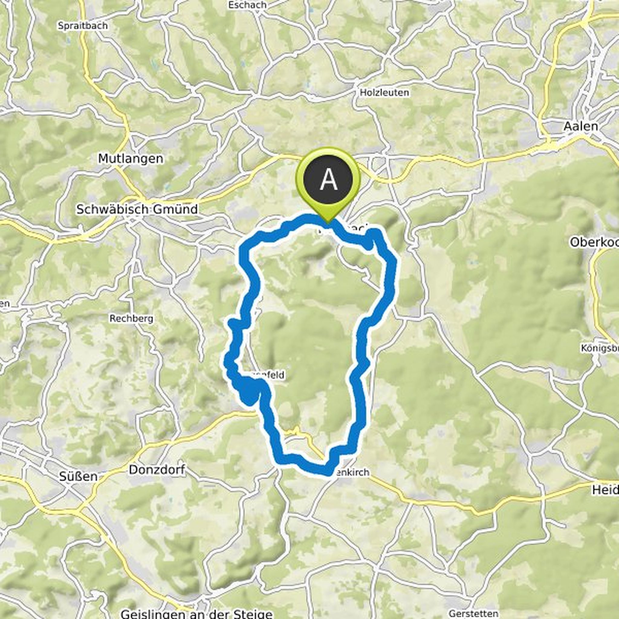
Wolfgang Stall planned an e-bike ride
September 20, 2021
Time
Distance
Speed
Ascent
Descent
Wolfgang Stall planned an e-bike ride
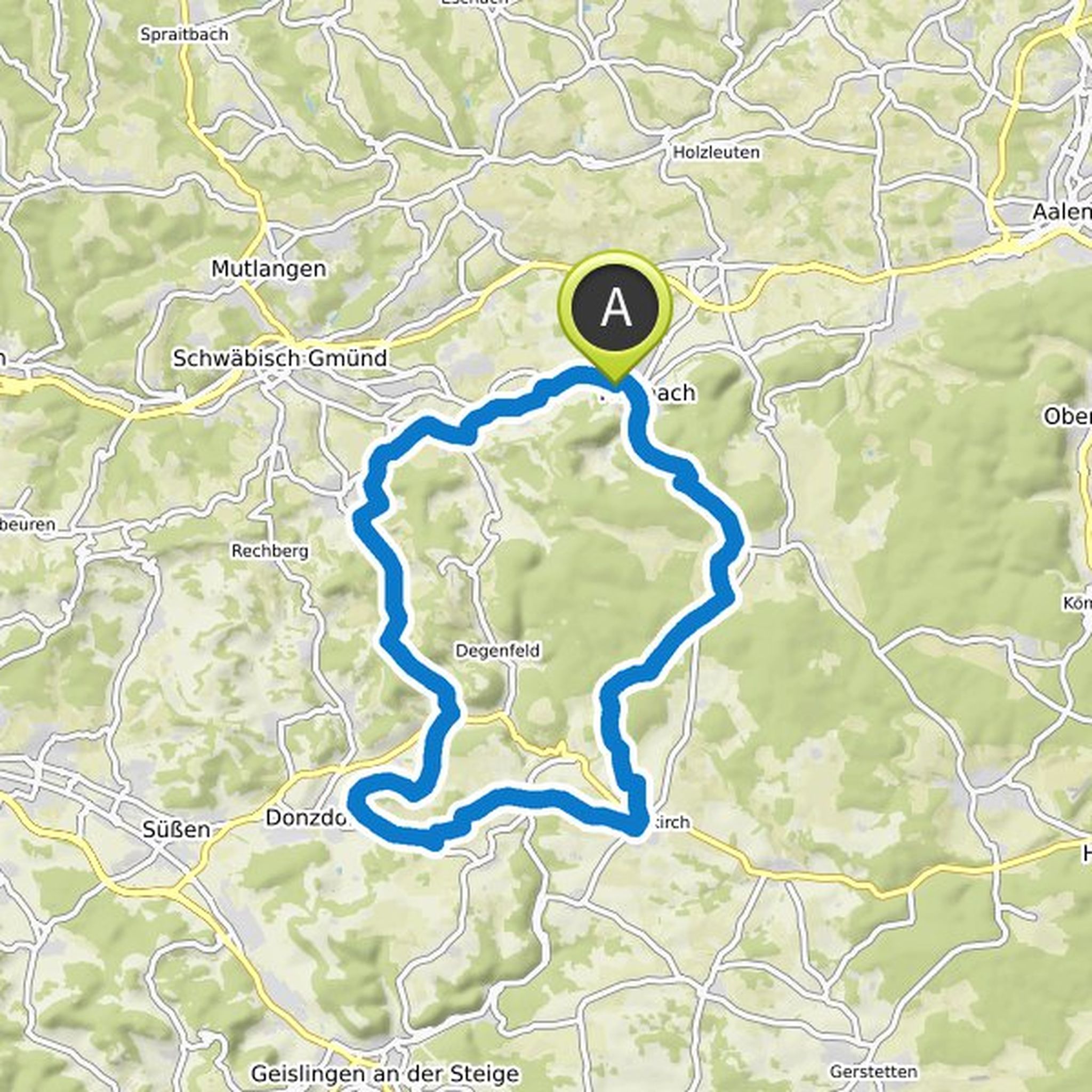
February 26, 2021
Time
Distance
Speed
Ascent
Descent
Dieter * Ostalb * likes this.
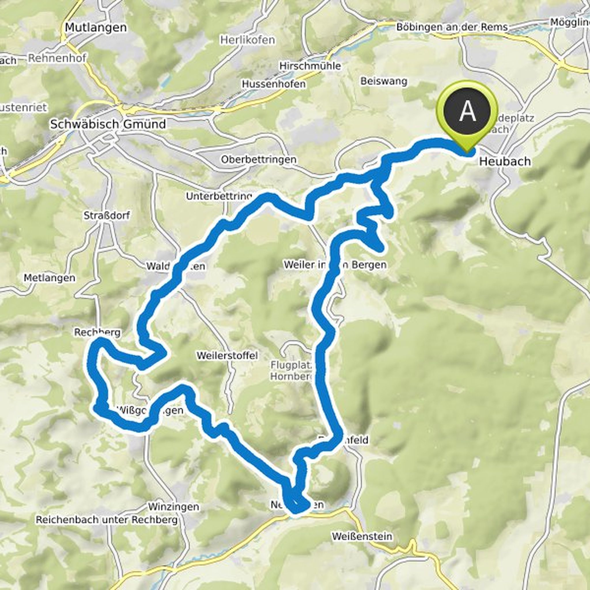
Wolfgang Stall planned a hike
January 16, 2021
Time
Distance
Speed
Ascent
Descent
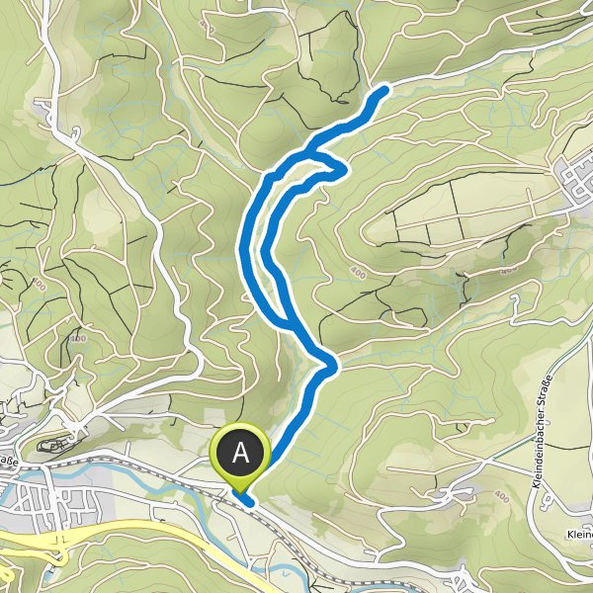
Wolfgang Stall planned an e-bike ride
October 21, 2020
Time
Distance
Speed
Ascent
Descent
Wolfgang Stall planned an e-bike ride
October 7, 2020
Time
Distance
Speed
Ascent
Descent
Wolfgang Stall planned an e-bike ride
October 2, 2020
Time
Distance
Speed
Ascent
Descent
Wolfgang Stall planned an e-bike ride
September 29, 2020
Time
Distance
Speed
Ascent
Descent
Wolfgang Stall planned an e-bike ride
September 26, 2020
Time
Distance
Speed
Ascent
Descent
Wolfgang Stall planned an e-bike ride
September 25, 2020
Time
Distance
Speed
Ascent
Descent
Wolfgang Stall planned an e-bike ride
September 25, 2020
Time
Distance
Speed
Ascent
Descent
Wolfgang Stall planned an e-bike ride
September 25, 2020
Time
Distance
Speed
Ascent
Descent
Wolfgang Stall planned an e-bike ride
September 10, 2020
Time
Distance
Speed
Ascent
Descent
Willi D likes this.
September 10, 2020
Looks good
Translated by Google •
Wolfgang Stall planned an e-bike ride
September 6, 2020
Time
Distance
Speed
Ascent
Descent
October 2, 2020
Between Berg and Leinroden there is the "Turmhügelburg Leinroden" which could still be built in
Translated by Google •