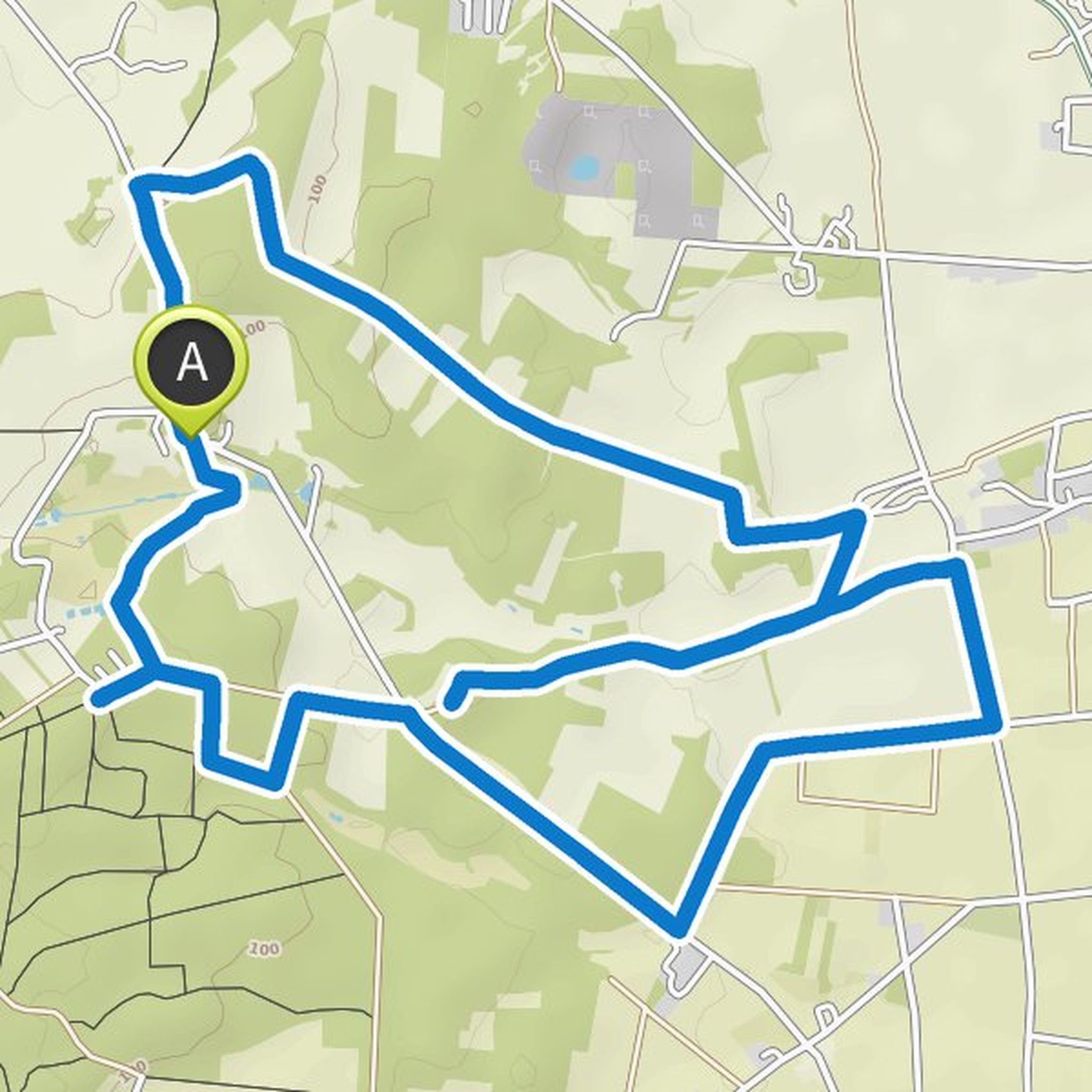
Timeline
Sabine planned a hike
October 4, 2021
Time
Distance
Speed
Ascent
Descent

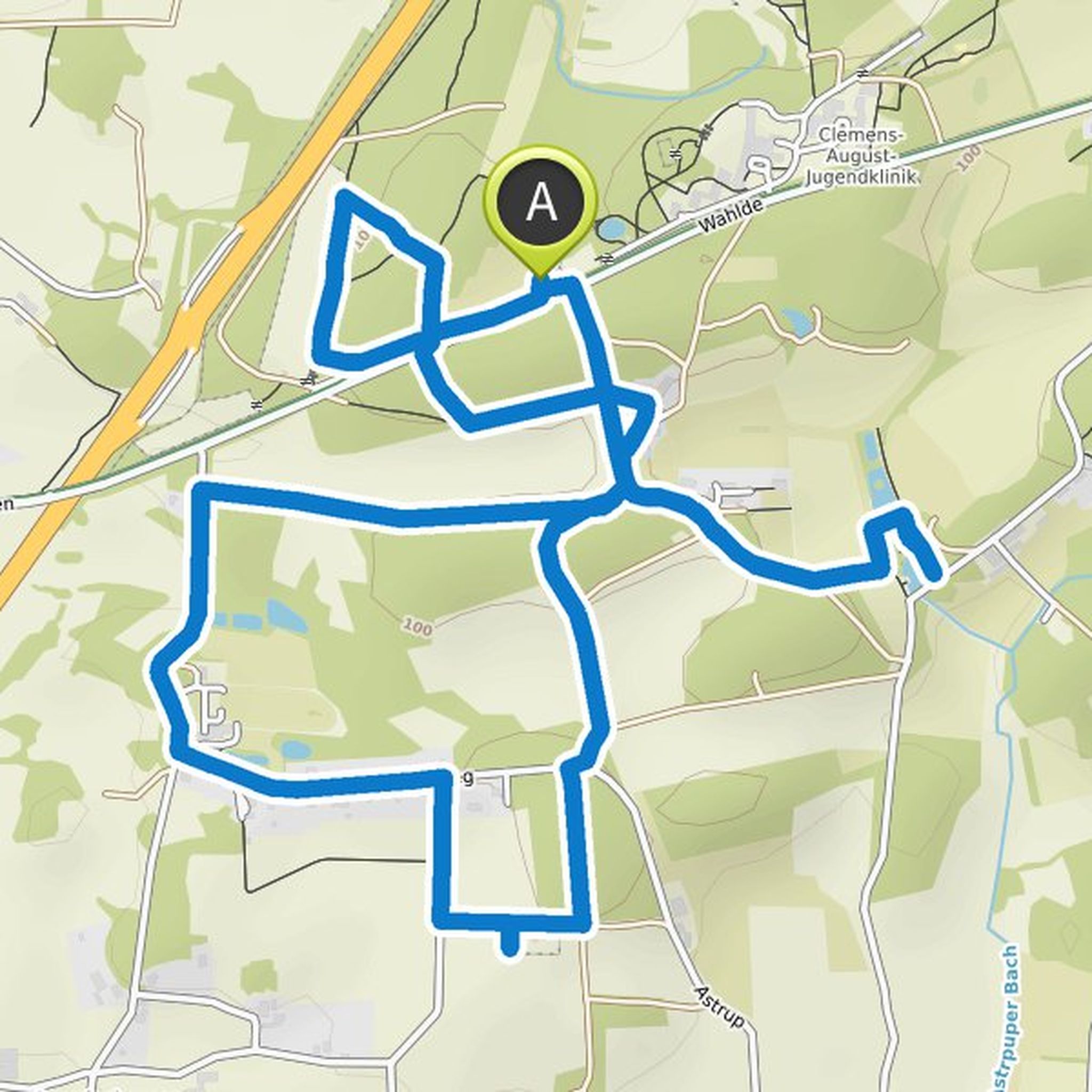
Sabine planned a bike ride
June 20, 2021
Time
Distance
Speed
Ascent
Descent

Priet and Zacharias Zurbel ☮️ like this.
Sabine planned a hike
June 6, 2021
Time
Distance
Speed
Ascent
Descent

Priet, Globetrotter and Zacharias Zurbel ☮️ like this.
June 6, 2021
Today I ran without a fixed plan 👍
Translated by Google •

Sabine planned a bike ride
May 29, 2021
Time
Distance
Speed
Ascent
Descent

Sabine planned a hike
May 23, 2021
Time
Distance
Speed
Ascent
Descent

Sabine planned a bike ride
May 15, 2021
Time
Distance
Speed
Ascent
Descent

Sabine planned a bike ride
May 15, 2021
Time
Distance
Speed
Ascent
Descent

Sabine planned a bike ride
May 15, 2021
Time
Distance
Speed
Ascent
Descent

Sabine planned a bike ride
May 11, 2021
Time
Distance
Speed
Ascent
Descent

Sabine planned a hike
April 10, 2021
Time
Distance
Speed
Ascent
Descent
April 10, 2021
Unfortunately I could not indicate all the routes as I walked are not shown
Translated by Google •
Sabine planned a hike
April 7, 2021
Time
Distance
Speed
Ascent
Descent

April 7, 2021
The sand pit cannot be entered. Caution, there is an electric fence there in case someone should get the idea and there are cows grazing there 😎🐄
Translated by Google •
Sabine planned a hike
March 29, 2021
Time
Distance
Speed
Ascent
Descent

simpsons57, Priet and Karin E like this.
March 29, 2021
Unfortunately, not all paths can be drawn, but beautiful areas 👍
Translated by Google •
Sabine planned a hike
March 22, 2021
Time
Distance
Speed
Ascent
Descent
simpsons57, Priet and Karin E like this.
March 22, 2021
I already ran the tour on Saturday very nice the corner there has changed a lot, I haven't run there for a long time
Translated by Google •
Sabine planned a bike ride
March 16, 2021
Time
Distance
Speed
Ascent
Descent

Ludger 🚴🌳🌲🍄🏞️🌅🔮, simpsons57 and Priet like this.
October 5, 2021
My vacation nice weather and great area to relax 😎👍
Translated by Google •