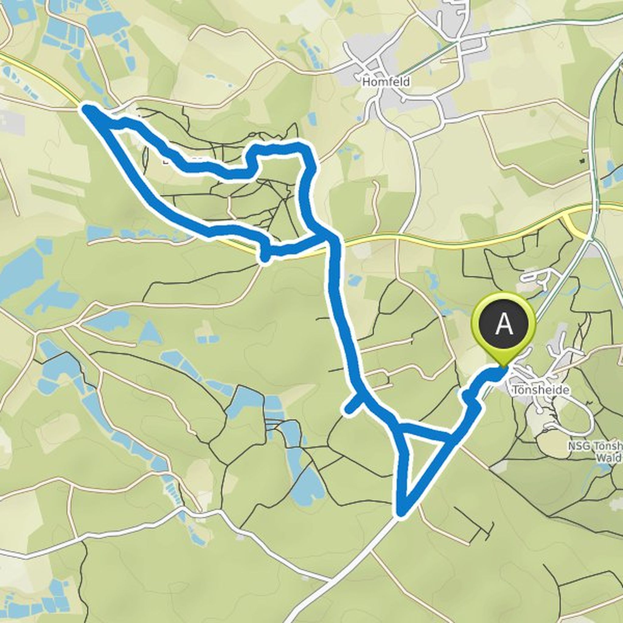
Timeline
MiriTestetInOl planned a hike
September 24, 2022
Time
Distance
Speed
Ascent
Descent
MiriTestetInOl planned a bike ride
May 20, 2022
Time
Distance
Speed
Ascent
Descent
MiriTestetInOl planned a bike ride
May 20, 2022
Time
Distance
Speed
Ascent
Descent
MiriTestetInOl planned a bike ride
May 20, 2022
Time
Distance
Speed
Ascent
Descent
MiriTestetInOl planned a bike ride
May 20, 2022
Time
Distance
Speed
Ascent
Descent
MiriTestetInOl planned a bike ride
May 20, 2022
Time
Distance
Speed
Ascent
Descent
MiriTestetInOl planned a bike ride
May 20, 2022
Time
Distance
Speed
Ascent
Descent
MiriTestetInOl planned a hike
February 27, 2022
Time
Distance
Speed
Ascent
Descent

MiriTestetInOl planned a hike
February 27, 2022
Time
Distance
Speed
Ascent
Descent

MiriTestetInOl planned a hike
February 27, 2022
Time
Distance
Speed
Ascent
Descent

MiriTestetInOl planned a hike
June 20, 2021
Time
Distance
Speed
Ascent
Descent

MiriTestetInOl planned a hike
June 20, 2021
Time
Distance
Speed
Ascent
Descent
MiriTestetInOl planned a hike
June 19, 2021
Time
Distance
Speed
Ascent
Descent

MiriTestetInOl planned a hike
June 19, 2021
Time
Distance
Speed
Ascent
Descent

MiriTestetInOl planned a hike
June 19, 2021
Time
Distance
Speed
Ascent
Descent

July 23, 2021
Very beautiful nature reserve with well signposted, diverse and well-tended forest paths. There is, among other things, a fitness trail with well-tended sports equipment and instructions, as well as several adventure stations for young and old, benches that invite you to linger, information boards
Translated by Google •