Timeline
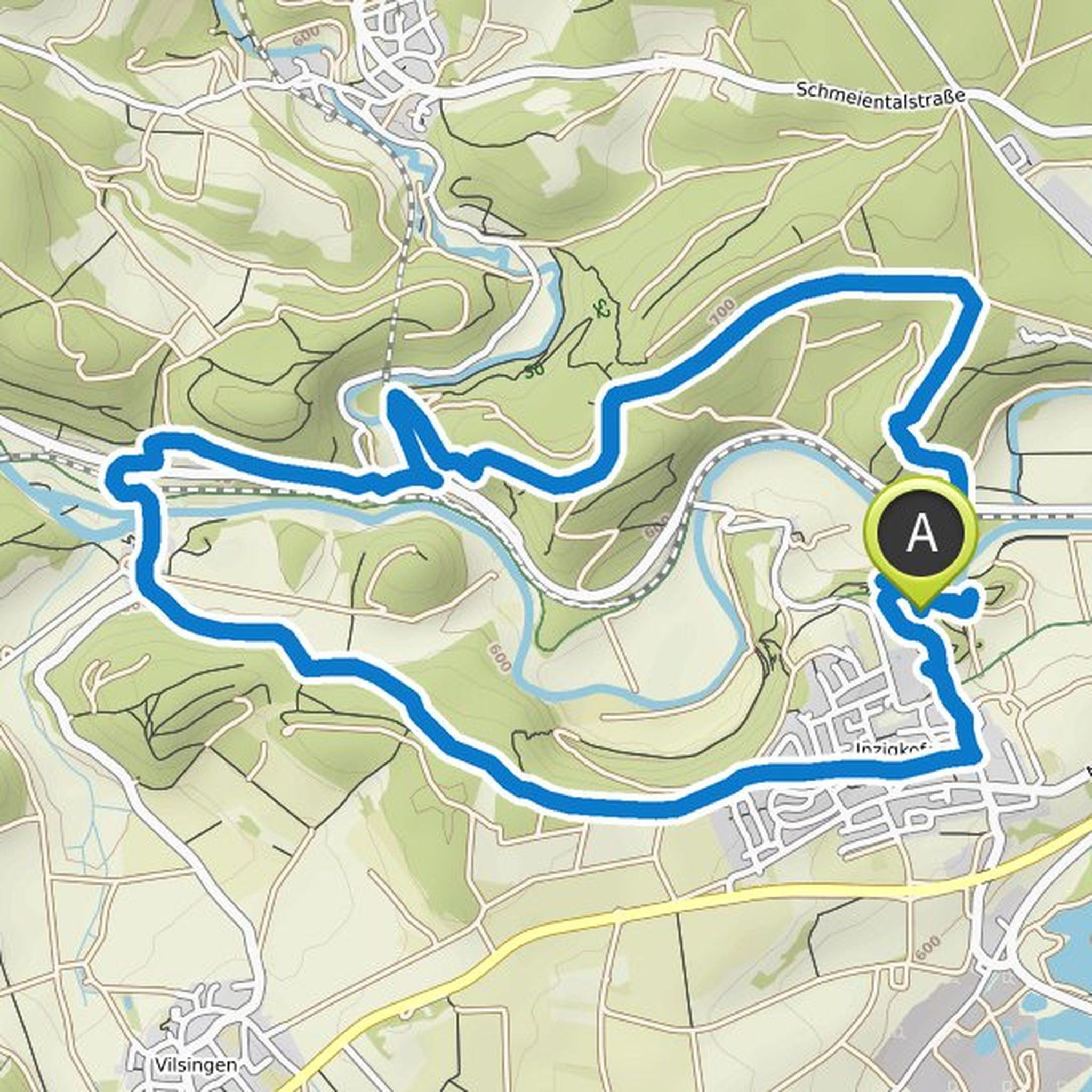
Norbert Hänle planned a hike
October 16, 2022
Time
Distance
Speed
Ascent
Descent
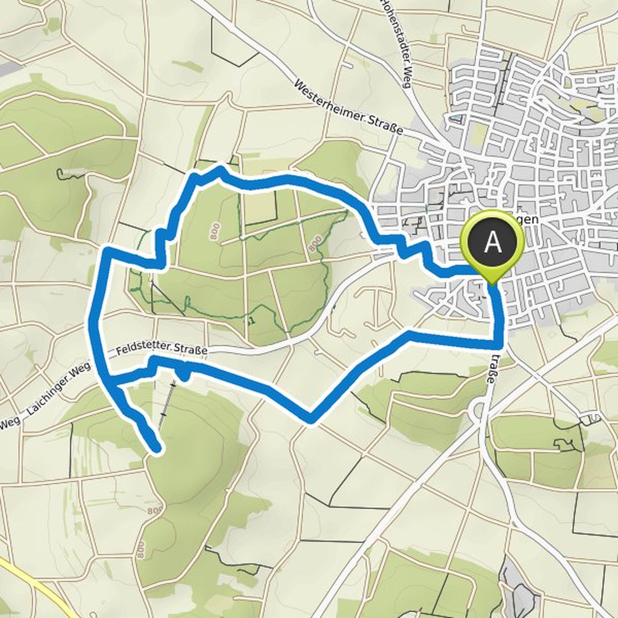
Norbert Hänle planned a hike
October 16, 2022
Time
Distance
Speed
Ascent
Descent
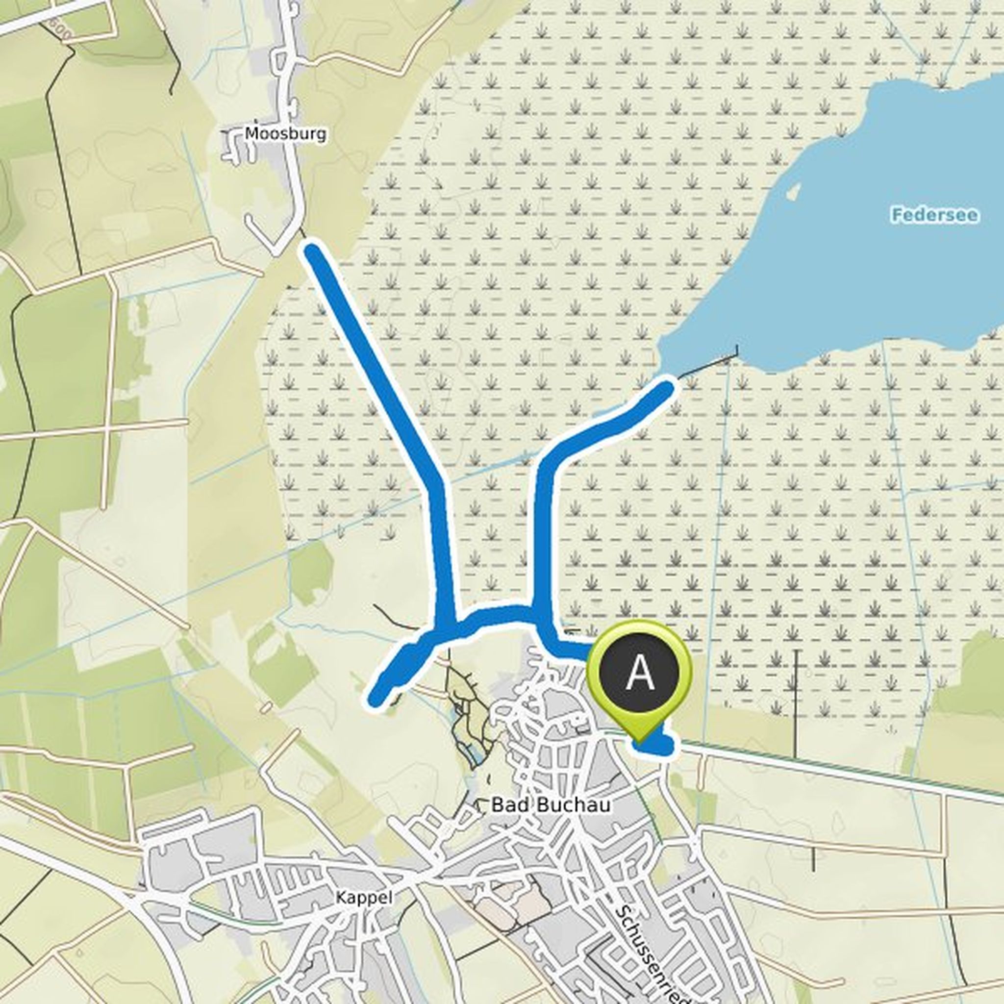
Norbert Hänle planned a hike
October 9, 2022
Time
Distance
Speed
Ascent
Descent
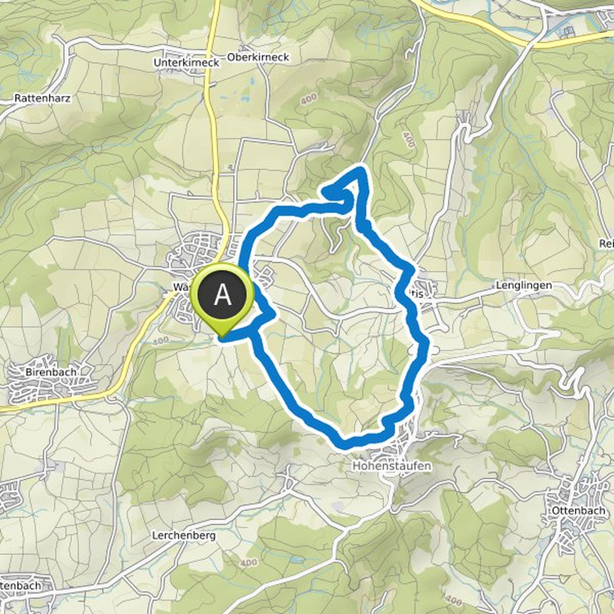
Norbert Hänle planned a hike
August 16, 2022
Time
Distance
Speed
Ascent
Descent
Norbert Hänle planned a hike
August 16, 2022
Time
Distance
Speed
Ascent
Descent
Norbert Hänle planned a hike
August 16, 2022
Time
Distance
Speed
Ascent
Descent
Norbert Hänle planned a hike
May 29, 2022
Time
Distance
Speed
Ascent
Descent
Norbert Hänle planned a hike
December 10, 2021
Time
Distance
Speed
Ascent
Descent
Norbert Hänle planned a hike
October 31, 2021
Time
Distance
Speed
Ascent
Descent
Norbert Hänle planned a hike
October 24, 2021
Time
Distance
Speed
Ascent
Descent
Norbert Hänle planned a hike
October 24, 2021
Time
Distance
Speed
Ascent
Descent
Norbert Hänle planned a bike ride
September 26, 2021
Time
Distance
Speed
Ascent
Descent
Norbert Hänle planned a hike
September 24, 2021
Time
Distance
Speed
Ascent
Descent
Norbert Hänle planned a hike
September 23, 2021
Time
Distance
Speed
Ascent
Descent
Norbert Hänle planned a hike
July 28, 2021
Time
Distance
Speed
Ascent
Descent