Timeline
Martin planned a hike
June 3, 2024
Time
3h21m
Distance
11.2km
Speed
3.3km/h
Ascent
340m
Descent
340m
Map data © OpenStreetMap contributors
Martin planned a hike
May 8, 2021
Time
4h23m
Distance
14.3km
Speed
3.3km/h
Ascent
510m
Descent
510m

Map data © OpenStreetMap contributors
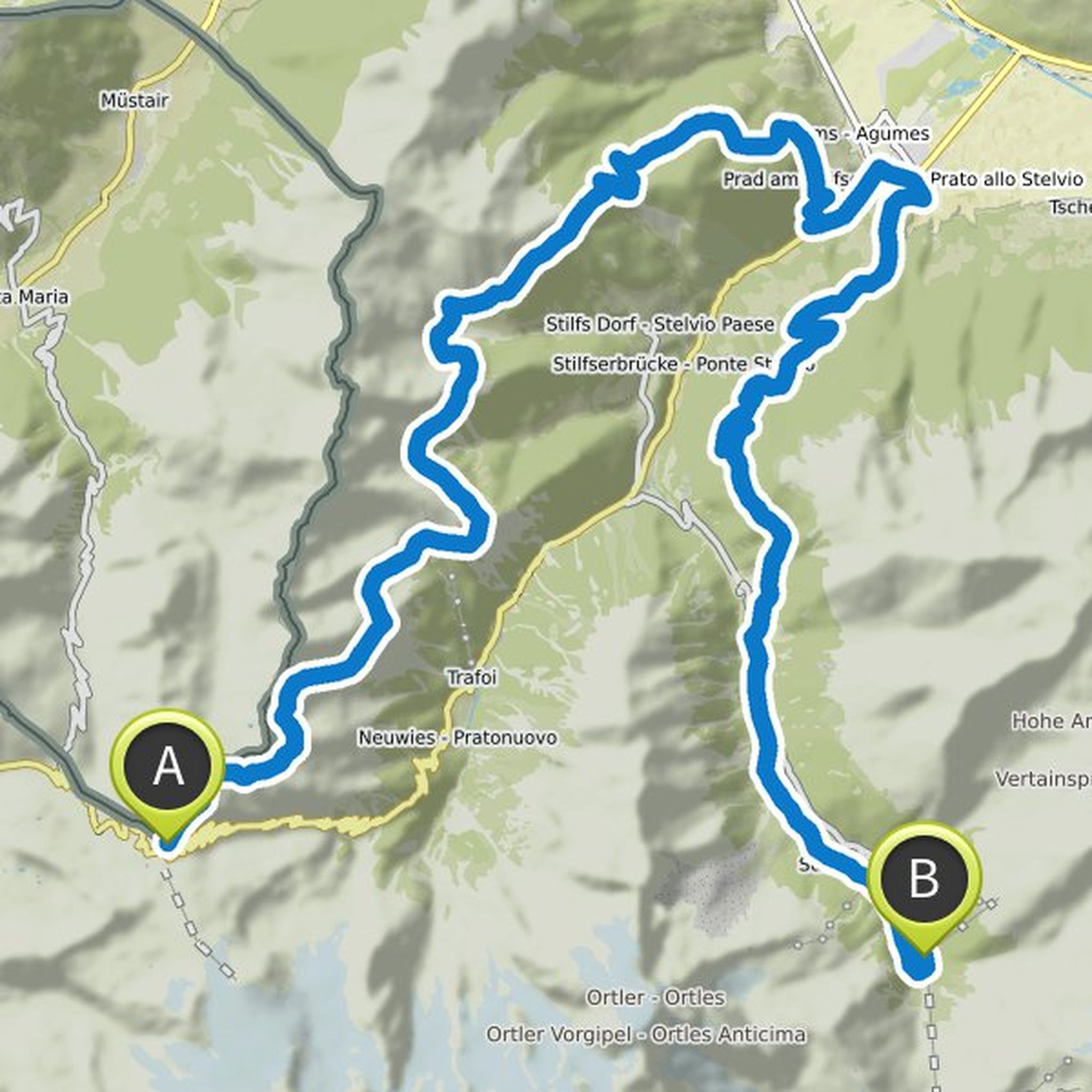
Martin planned an e-mountain bike ride
July 24, 2020
Time
2h08m
Distance
32.8km
Speed
15.4km/h
Ascent
1,280m
Descent
330m

Map data © OpenStreetMap contributors
Reto and others planned a mountain bike ride
July 22, 2020
Time
4h31m
Distance
54.2km
Speed
12.0km/h
Ascent
1,850m
Descent
3,270m

Map data © OpenStreetMap contributors
Reto and others planned a mountain bike ride
July 22, 2020
Time
2h50m
Distance
39.5km
Speed
14.0km/h
Ascent
1,040m
Descent
2,740m

Map data © OpenStreetMap contributors
Reto and others planned a mountain bike ride
July 22, 2020
Time
3h50m
Distance
46.5km
Speed
12.1km/h
Ascent
1,700m
Descent
2,610m
Map data © OpenStreetMap contributors
Time
4h30m
Distance
67.2km
Speed
14.9km/h
Ascent
2,740m
Descent
2,010m

Map data © OpenStreetMap contributors
Reto and others planned a mountain bike ride
July 9, 2020
Time
6h10m
Distance
69.1km
Speed
11.2km/h
Ascent
2,410m
Descent
1,420m

Map data © OpenStreetMap contributors
June 1, 2024
Tour OK, but really just OK... The main thing was that we were able to move around a bit...😉
The
additional loop (waypoint 1) is very bad and not recommended at all (overgrown with prickly bushes👎)
If you still want to do it, make sure you wear long trousers)
Otherwise you move on dirt roads and
Translated by Google •