Timeline
MSilenus planned a mountaineering activity
September 8, 2022
Time
6h03m
Distance
9.58km
Speed
1.6km/h
Ascent
1,250m
Descent
340m
Map data © OpenStreetMap contributors
MSilenus planned a hike
July 7, 2020
Time
4h54m
Distance
9.77km
Speed
2.0km/h
Ascent
540m
Descent
570m

Map data © OpenStreetMap contributors
MSilenus planned a mountaineering activity
July 6, 2020
Time
1h41m
Distance
3.77km
Speed
2.2km/h
Ascent
380m
Descent
370m
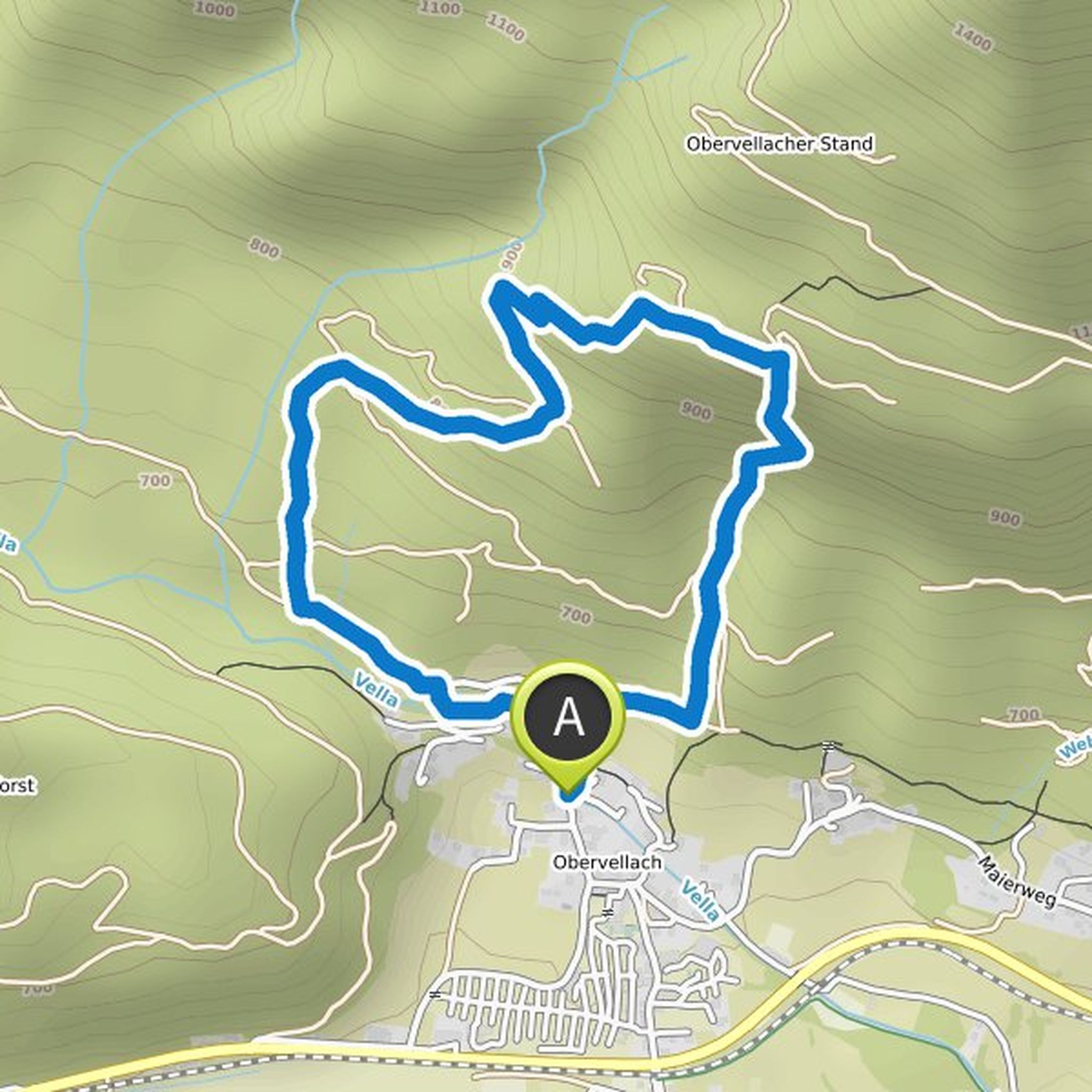
Map data © OpenStreetMap contributors
MSilenus planned a mountaineering activity
July 6, 2020
Time
3h18m
Distance
6.10km
Speed
1.9km/h
Ascent
530m
Descent
530m

Map data © OpenStreetMap contributors
MSilenus planned a mountaineering activity
July 6, 2020
Time
2h41m
Distance
3.67km
Speed
1.4km/h
Ascent
320m
Descent
320m

Map data © OpenStreetMap contributors

July 4, 2020
You can still make a small detour to the summit of the Kammleiten, from which you have a very good view. In good weather you can even see the Großglockner.
Translated by Google •