Timeline
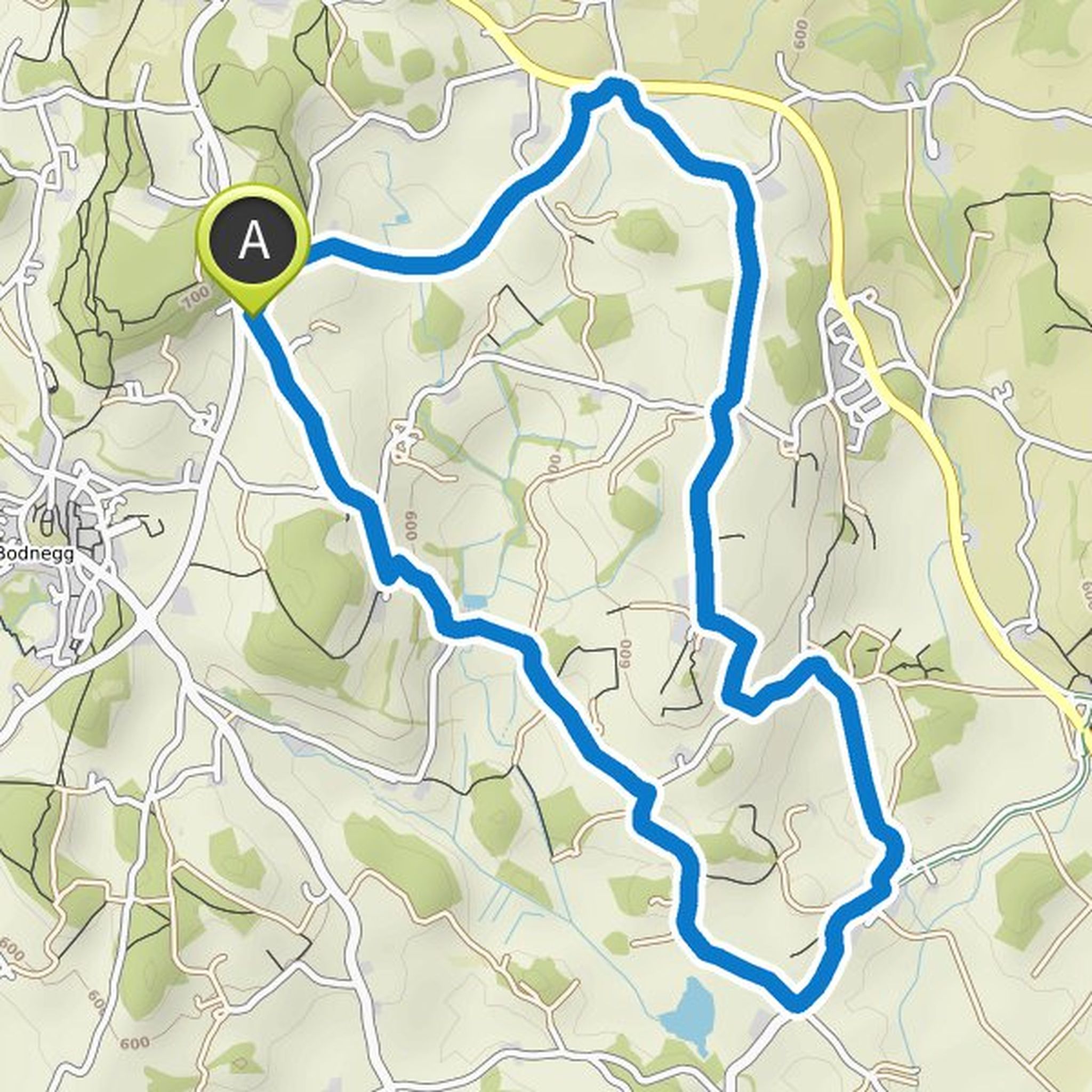
Ingegerd Gruchot planned a hike
May 12, 2022
Time
Distance
Speed
Ascent
Descent
Ingegerd Gruchot planned a hike
May 12, 2022
Time
Distance
Speed
Ascent
Descent
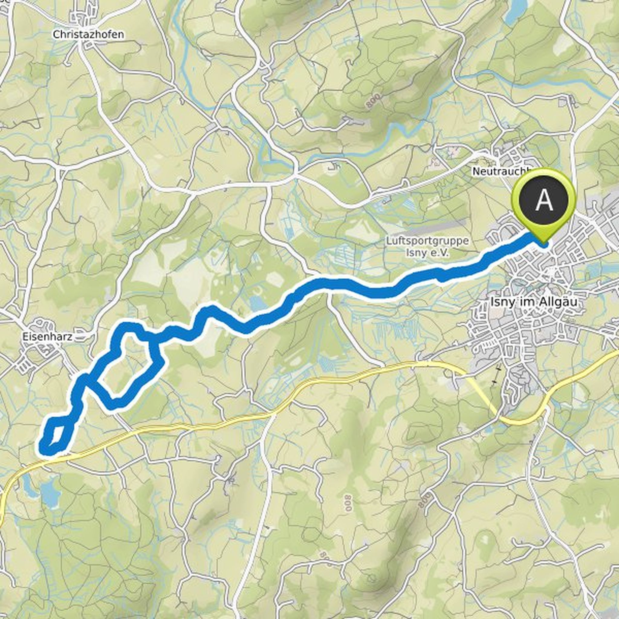
Ingegerd Gruchot planned a hike
April 29, 2022
Time
Distance
Speed
Ascent
Descent
Ingegerd Gruchot planned a hike
April 29, 2022
Time
Distance
Speed
Ascent
Descent
Ingegerd Gruchot planned a hike
March 11, 2022
Time
Distance
Speed
Ascent
Descent

Ingegerd Gruchot planned a hike
February 11, 2022
Time
Distance
Speed
Ascent
Descent

Ingegerd Gruchot planned a hike
February 3, 2022
Time
Distance
Speed
Ascent
Descent
Ingegerd Gruchot planned a hike
February 3, 2022
Time
Distance
Speed
Ascent
Descent

Ingegerd Gruchot planned a hike
February 3, 2022
Time
Distance
Speed
Ascent
Descent

Ingegerd Gruchot planned a hike
February 3, 2022
Time
Distance
Speed
Ascent
Descent

Ingegerd Gruchot planned a hike
February 3, 2022
Time
Distance
Speed
Ascent
Descent

Ingegerd Gruchot planned a hike
February 3, 2022
Time
Distance
Speed
Ascent
Descent

Ingegerd Gruchot planned a hike
February 3, 2022
Time
Distance
Speed
Ascent
Descent

Ingegerd Gruchot planned a hike
February 3, 2022
Time
Distance
Speed
Ascent
Descent

Ingegerd Gruchot planned a hike
February 3, 2022
Time
Distance
Speed
Ascent
Descent