Timeline
Lukas planned a hike
July 27, 2024
Time
Distance
Speed
Ascent
Descent
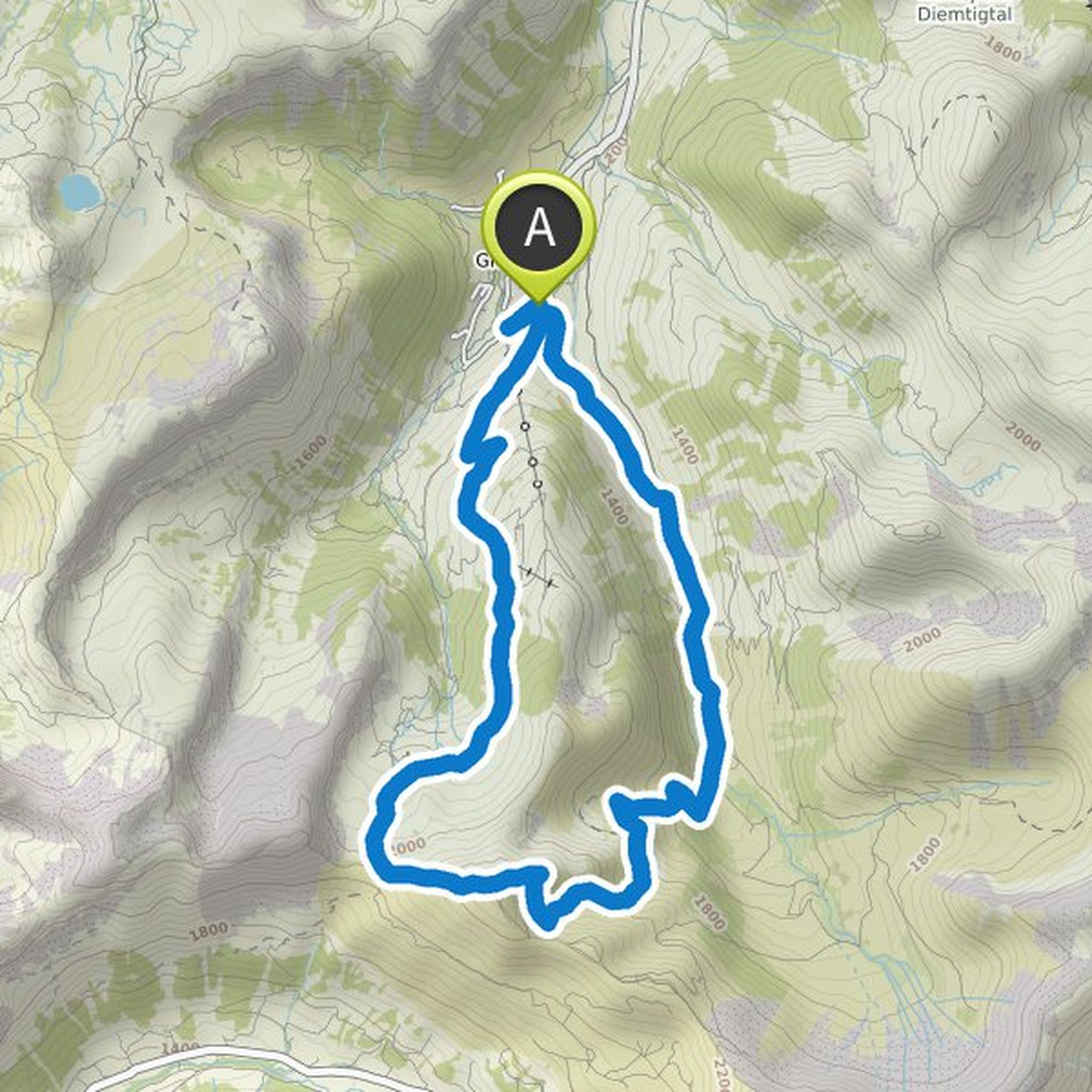
Lukas planned a hike
July 23, 2024
Time
Distance
Speed
Ascent
Descent
July 23, 2024
This hiking route starts at the Rinerhorn mountain station and leads along a beautiful and varied hiking trail into the picturesque Sertig valley.
The starting point of the hike is the Rinerhorn cable car mountain station. The first one and a half kilometers of the route lead along a wide forest path
Translated by Google •
Lukas planned a mountain bike ride
May 11, 2024
Time
Distance
Speed
Ascent
Descent
Lukas planned a mountain bike ride
September 2, 2022
Time
Distance
Speed
Ascent
Descent
Lukas planned a mountain bike ride
September 1, 2022
Time
Distance
Speed
Ascent
Descent
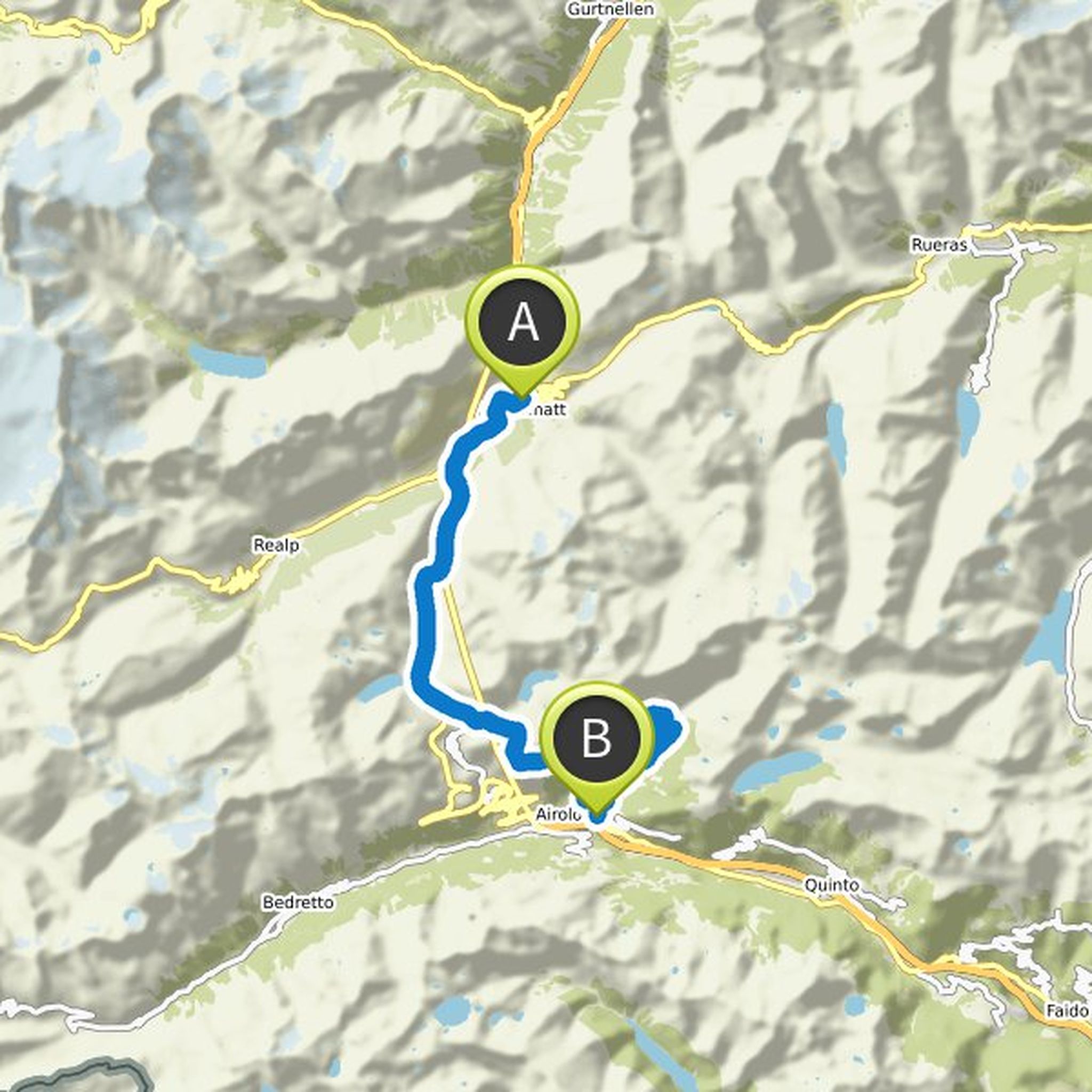
Lukas planned a hike
August 27, 2022
Time
Distance
Speed
Ascent
Descent
Lukas planned a mountain bike ride
May 24, 2022
Time
Distance
Speed
Ascent
Descent
Lukas planned a hike
October 22, 2021
Time
Distance
Speed
Ascent
Descent
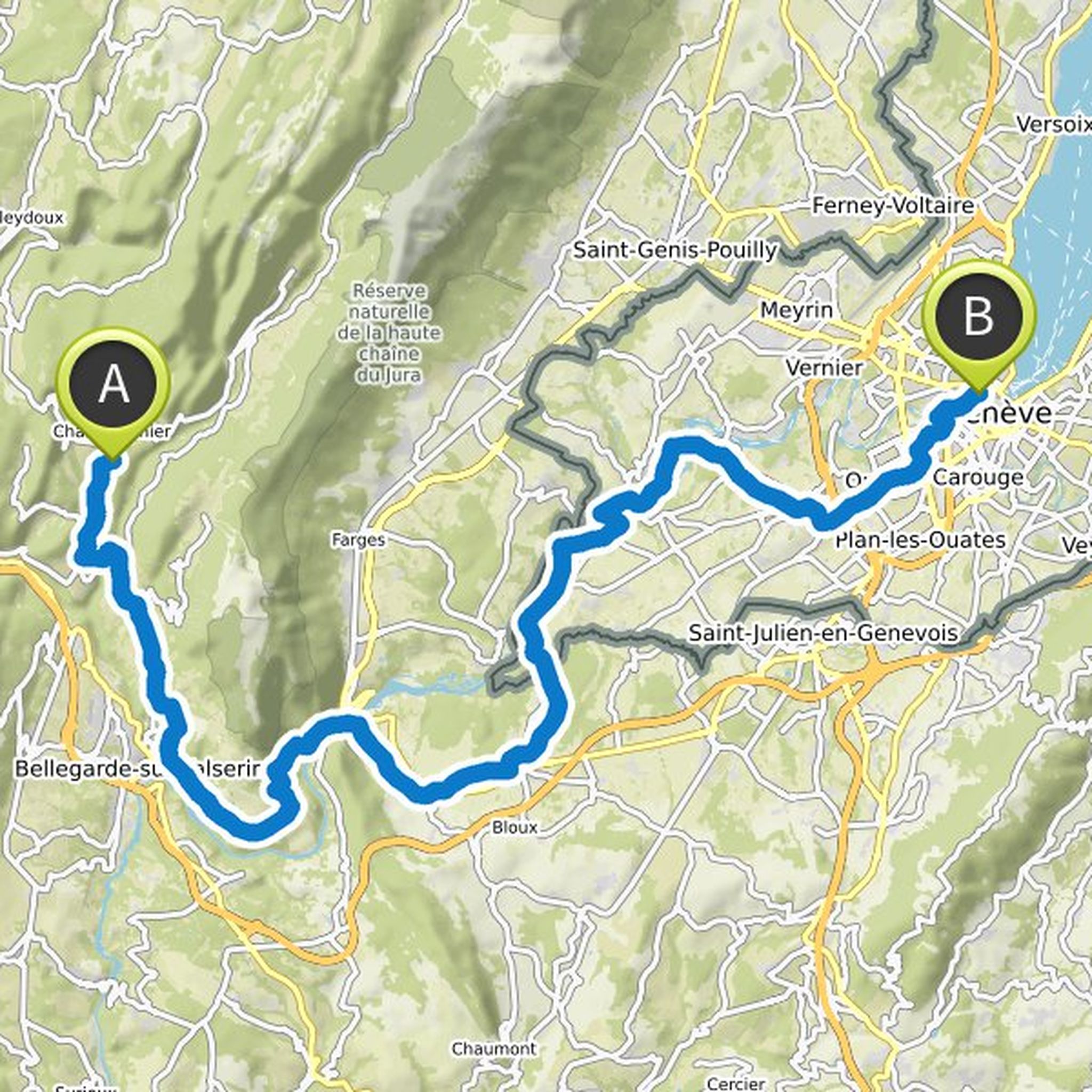
Lukas planned a mountain bike ride
July 1, 2021
Time
Distance
Speed
Ascent
Descent
Odette Kaijser likes this.
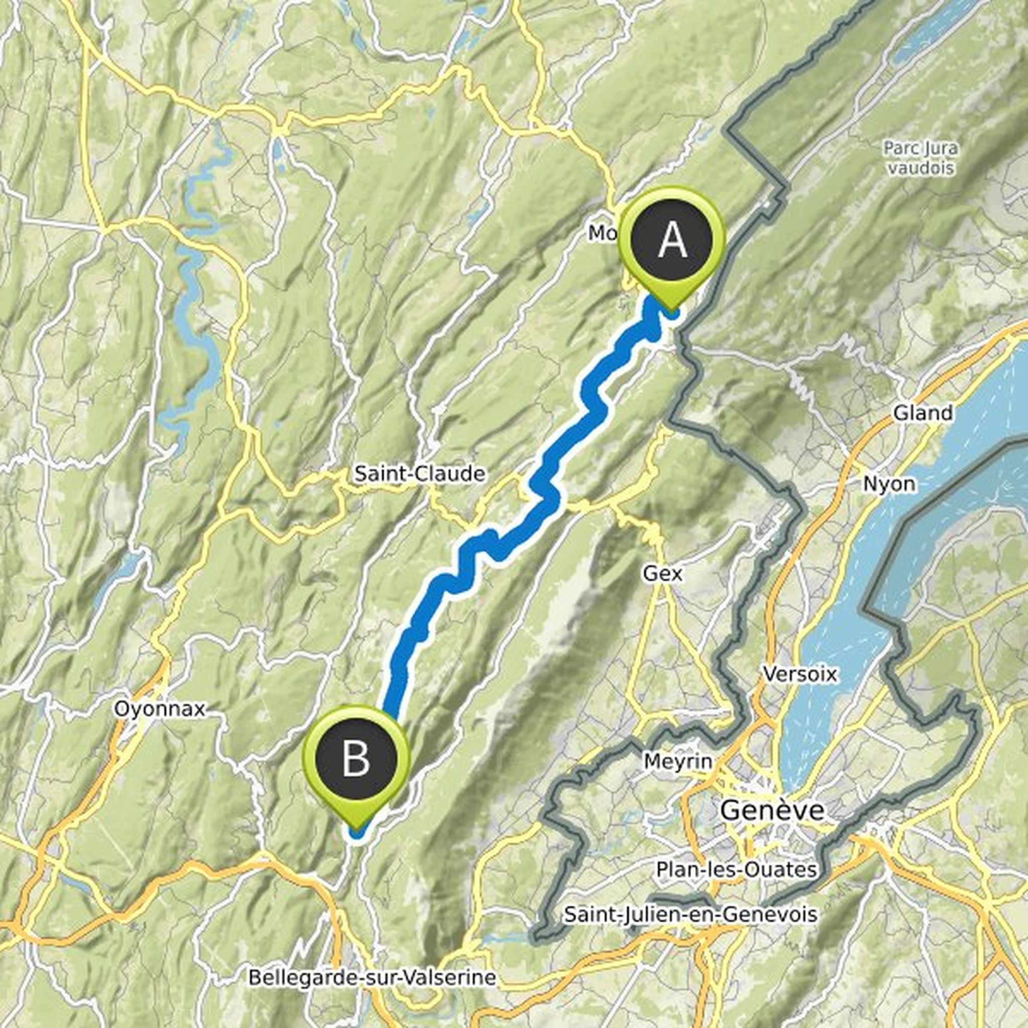
Lukas planned a gravel ride
April 14, 2021
Time
Distance
Speed
Ascent
Descent
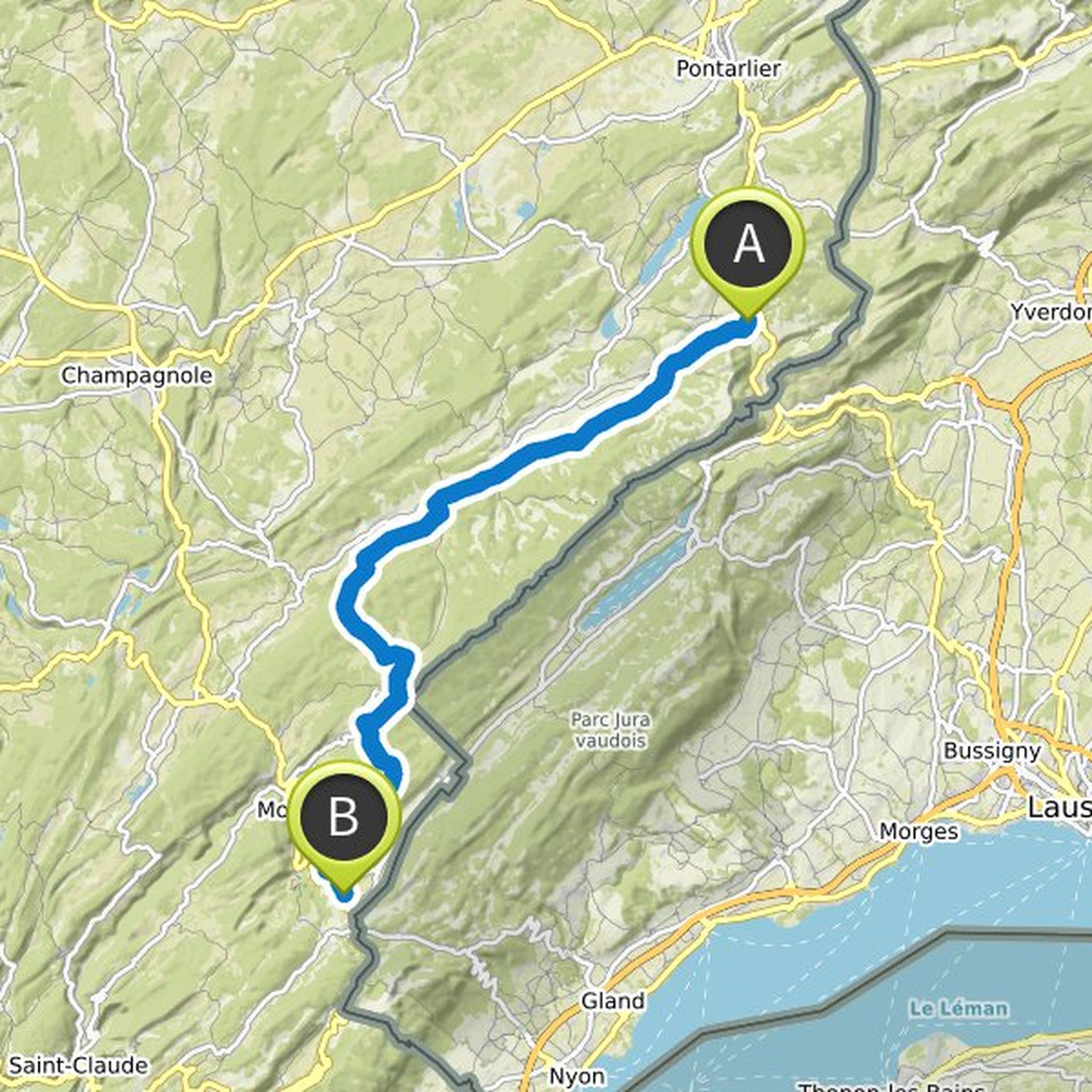
Lukas planned a gravel ride
April 14, 2021
Time
Distance
Speed
Ascent
Descent
Lukas planned a gravel ride
April 14, 2021
Time
Distance
Speed
Ascent
Descent
Lukas planned a gravel ride
August 2, 2020
Time
Distance
Speed
Ascent
Descent
Lukas planned a gravel ride
August 2, 2020
Time
Distance
Speed
Ascent
Descent
Lukas planned a gravel ride
August 2, 2020
Time
Distance
Speed
Ascent
Descent
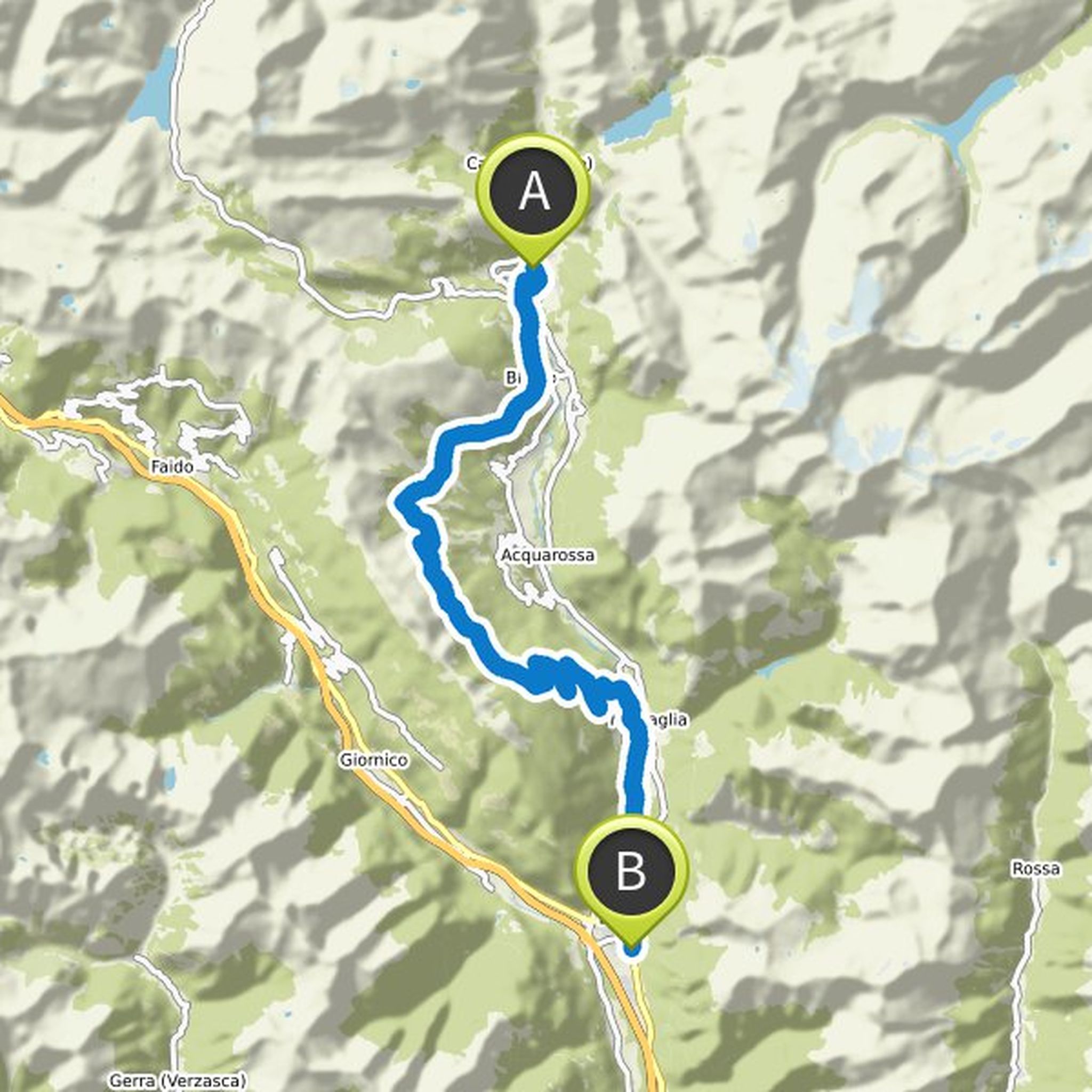
July 23, 2024
A dreamy path with a wonderful panoramic view of the surrounding mountain ranges. Experience the diversity of Parsenn Gotschna on this pleasant tour!
The starting point of the hike is the middle station of the Parsennbahn high-altitude trail. At the station you can already enjoy a wonderful view over
Translated by Google •