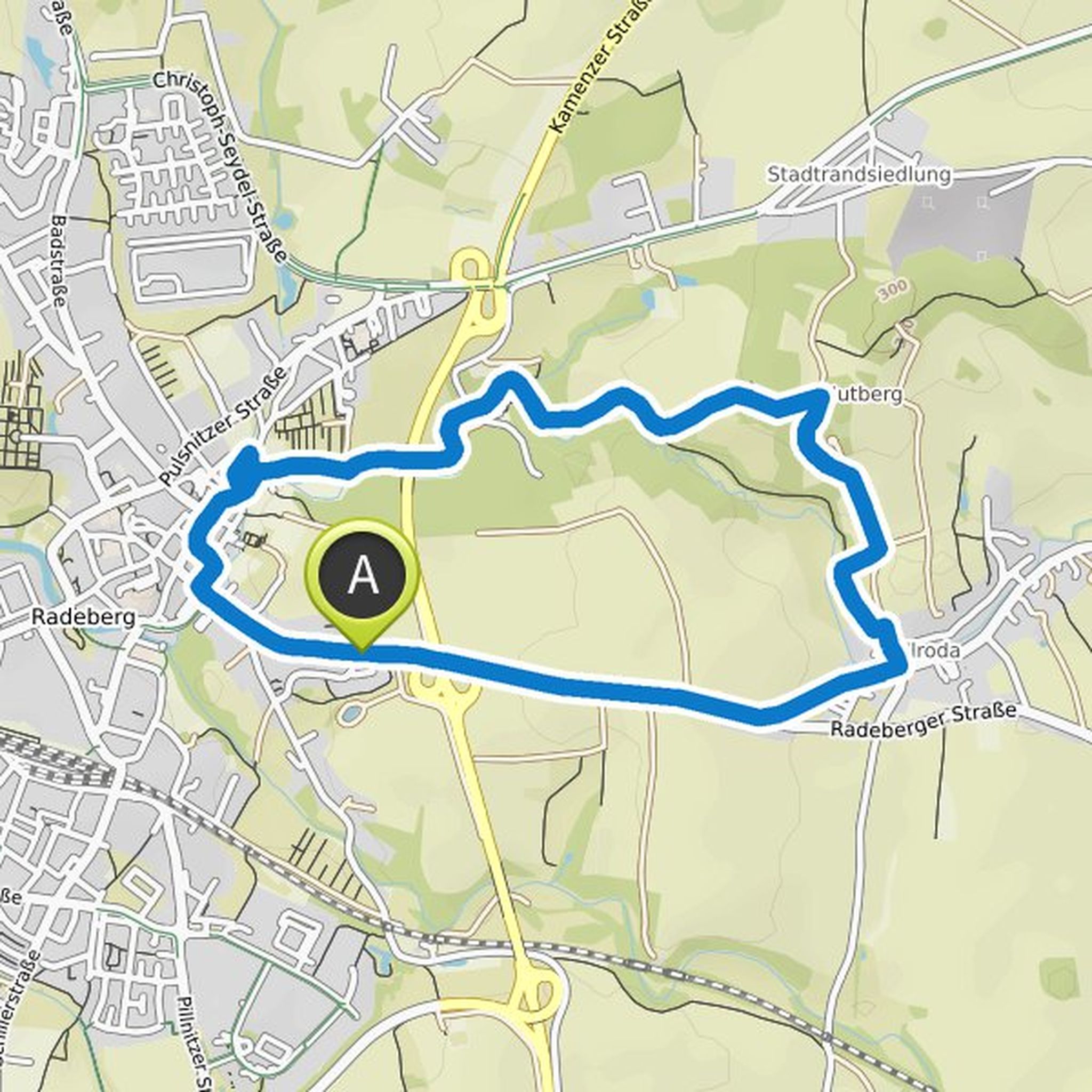
Timeline
Thomas Sandner planned a hike
April 8, 2022
Time
2h15m
Distance
7.73km
Speed
3.4km/h
Ascent
200m
Descent
200m
Map data © OpenStreetMap contributors
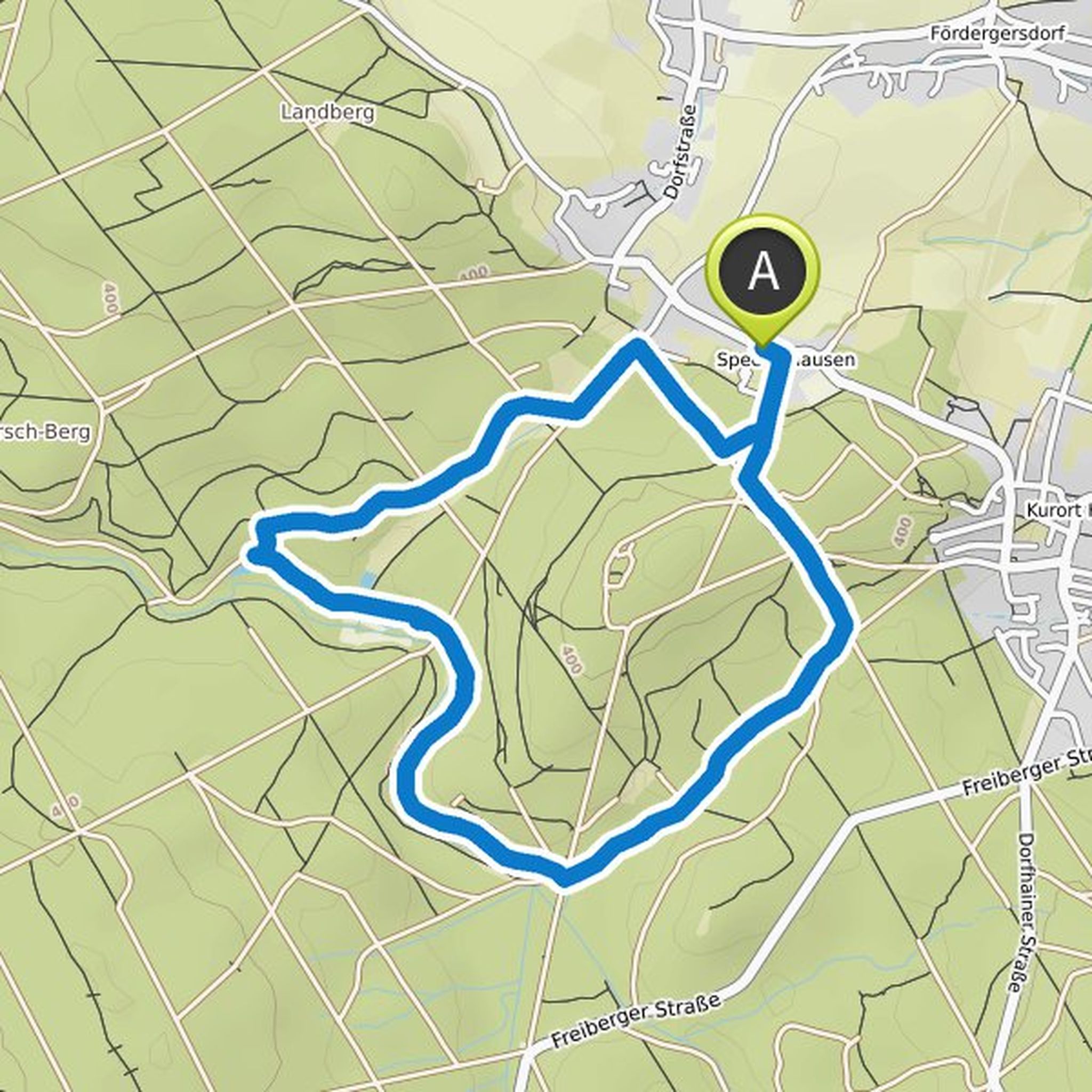
Thomas Sandner planned a hike
April 8, 2022
Time
2h04m
Distance
7.56km
Speed
3.7km/h
Ascent
120m
Descent
120m
Map data © OpenStreetMap contributors
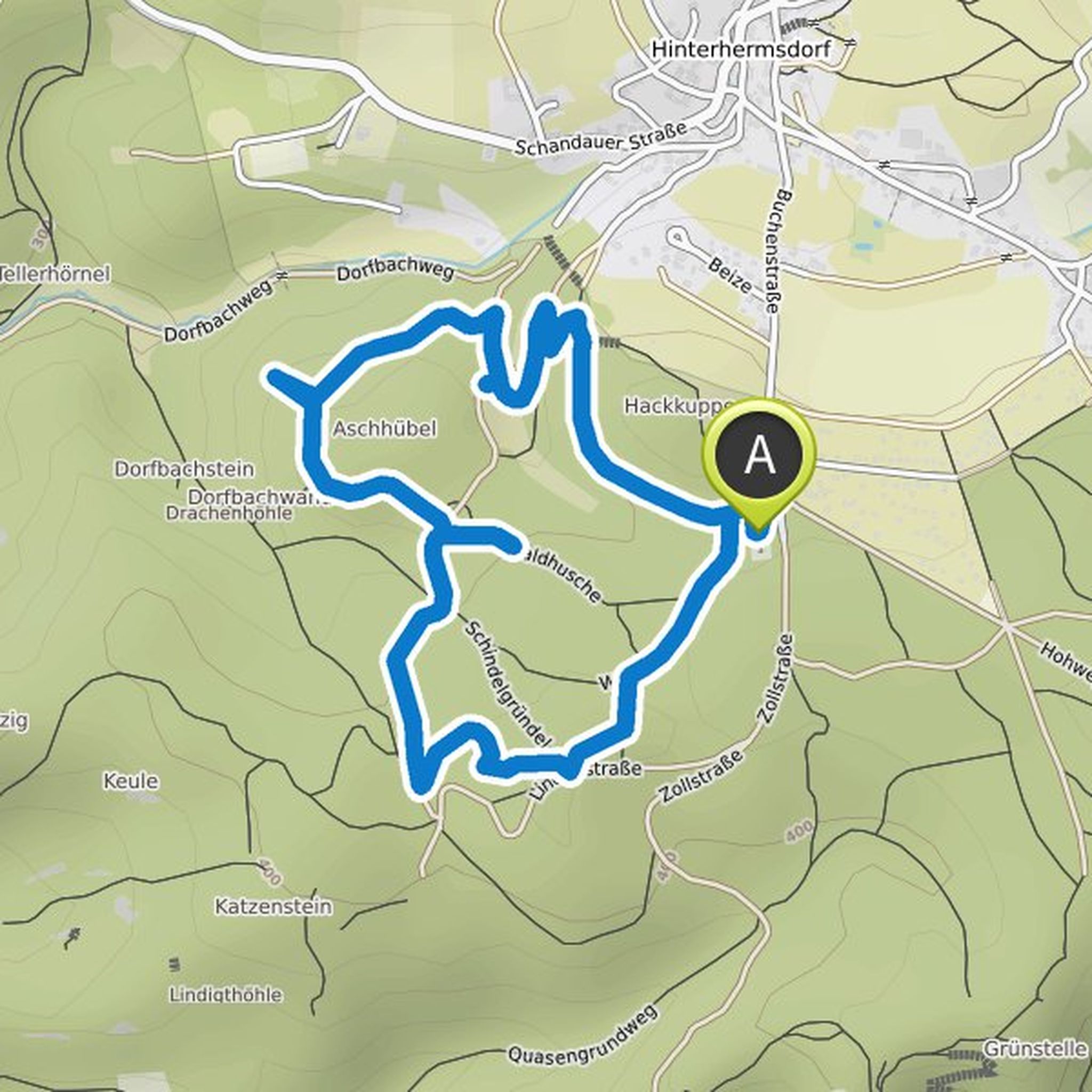
Thomas Sandner planned a hike
April 8, 2022
Time
2h04m
Distance
7.56km
Speed
3.7km/h
Ascent
120m
Descent
120m
Map data © OpenStreetMap contributors
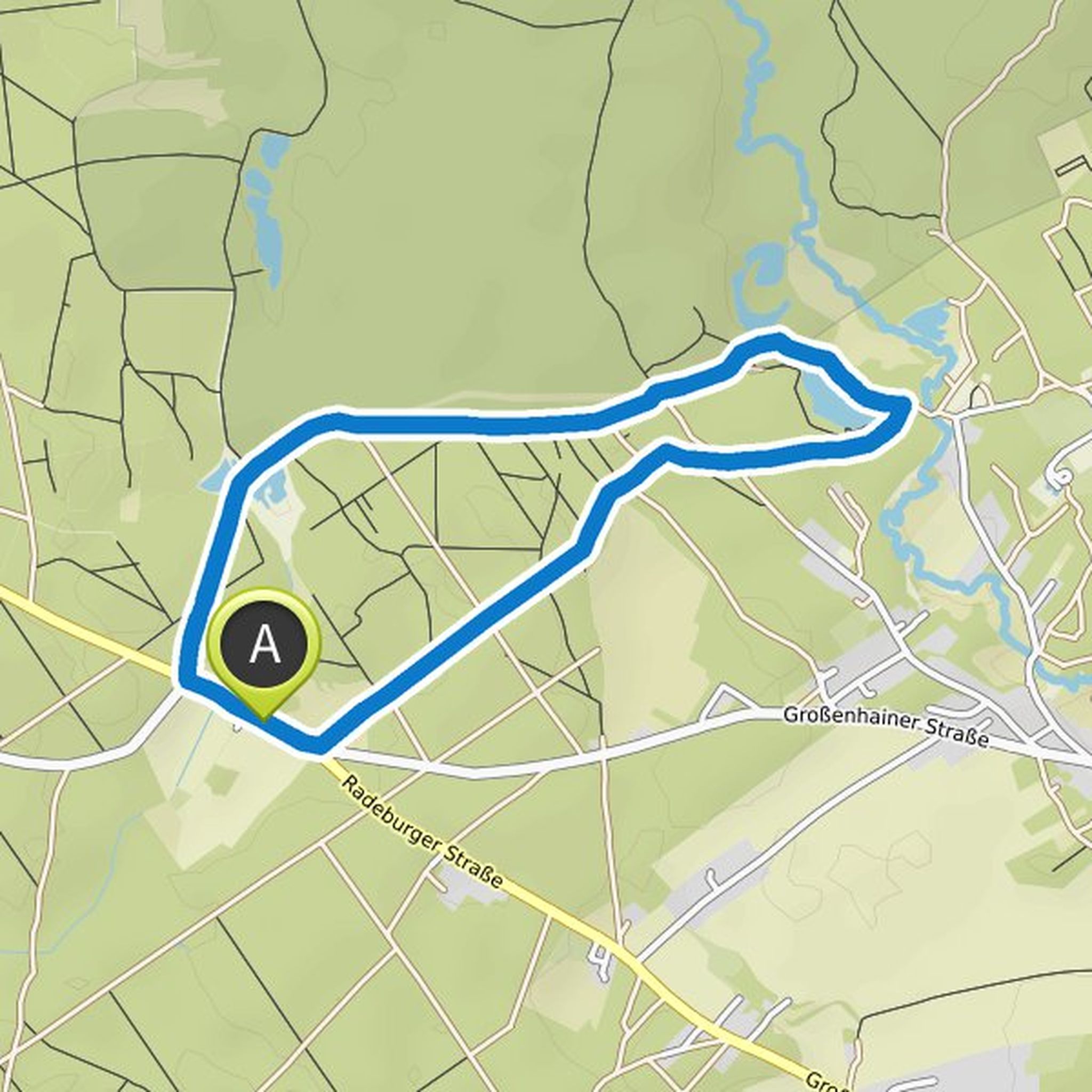
Thomas Sandner planned a hike
January 14, 2022
Time
1h48m
Distance
6.76km
Speed
3.8km/h
Ascent
70m
Descent
70m
Map data © OpenStreetMap contributors
Thomas Sandner planned a hike
January 7, 2022
Time
1h56m
Distance
7.11km
Speed
3.7km/h
Ascent
100m
Descent
100m
Map data © OpenStreetMap contributors
Thomas Sandner planned a hike
January 7, 2022
Time
1h04m
Distance
3.98km
Speed
3.7km/h
Ascent
50m
Descent
50m

Map data © OpenStreetMap contributors
Thomas Sandner planned a hike
January 7, 2022
Time
1h04m
Distance
3.98km
Speed
3.7km/h
Ascent
50m
Descent
50m
Map data © OpenStreetMap contributors
Thomas Sandner planned a hike
January 7, 2022
Time
1h48m
Distance
6.77km
Speed
3.8km/h
Ascent
70m
Descent
70m

Map data © OpenStreetMap contributors
Thomas Sandner planned a hike
January 7, 2022
Time
1h34m
Distance
5.97km
Speed
3.8km/h
Ascent
40m
Descent
40m
Map data © OpenStreetMap contributors