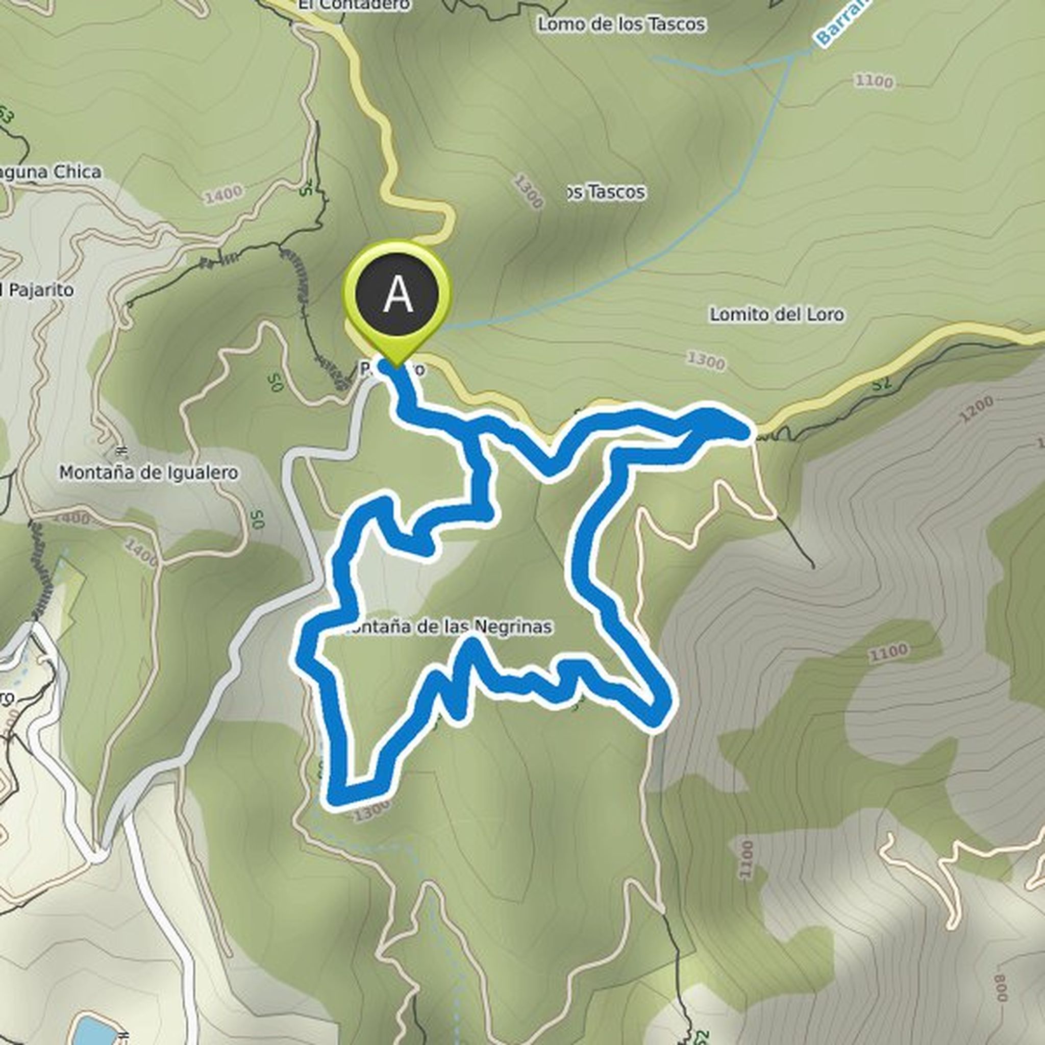
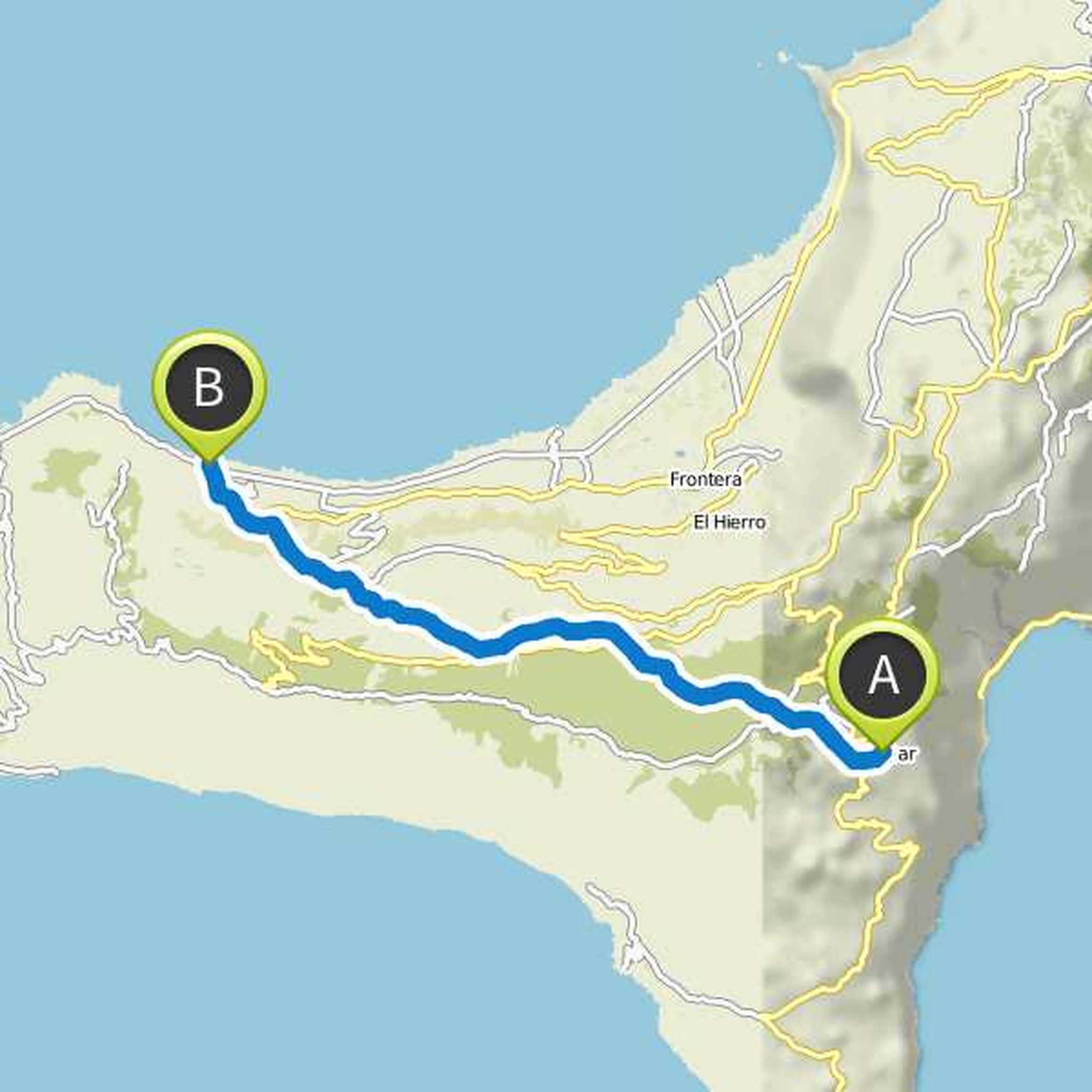
Timeline
HansWurst15 planned a hike
May 28, 2022
Time
Distance
Speed
Ascent
Descent
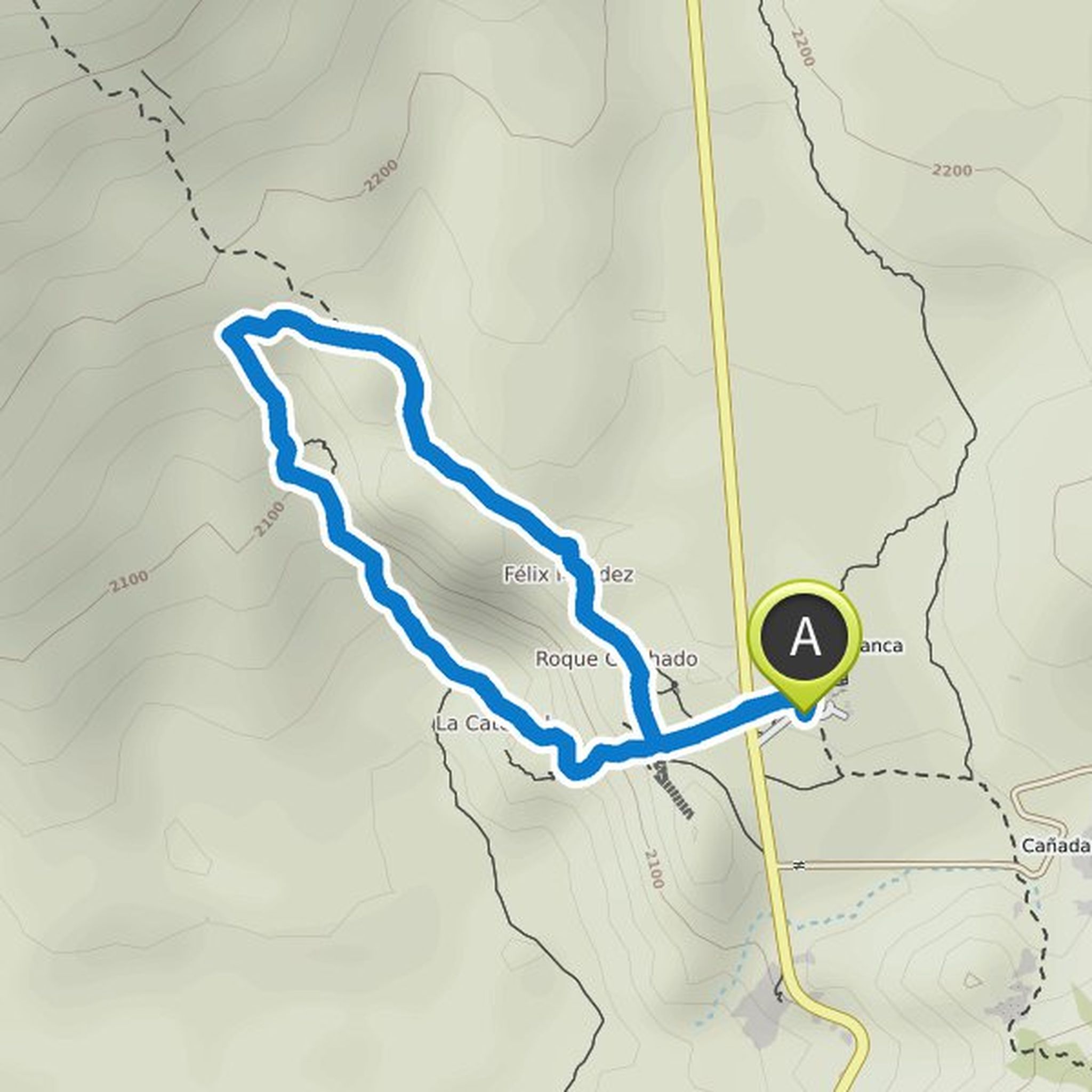
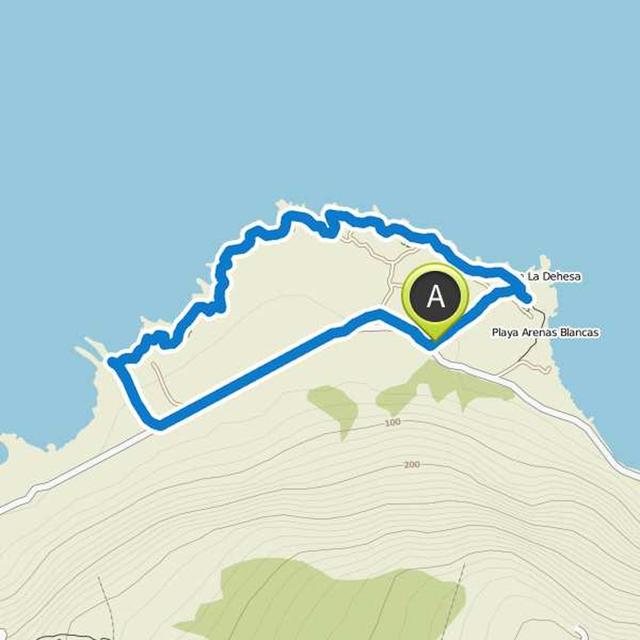
HansWurst15 planned a hike
May 27, 2022
Time
Distance
Speed
Ascent
Descent
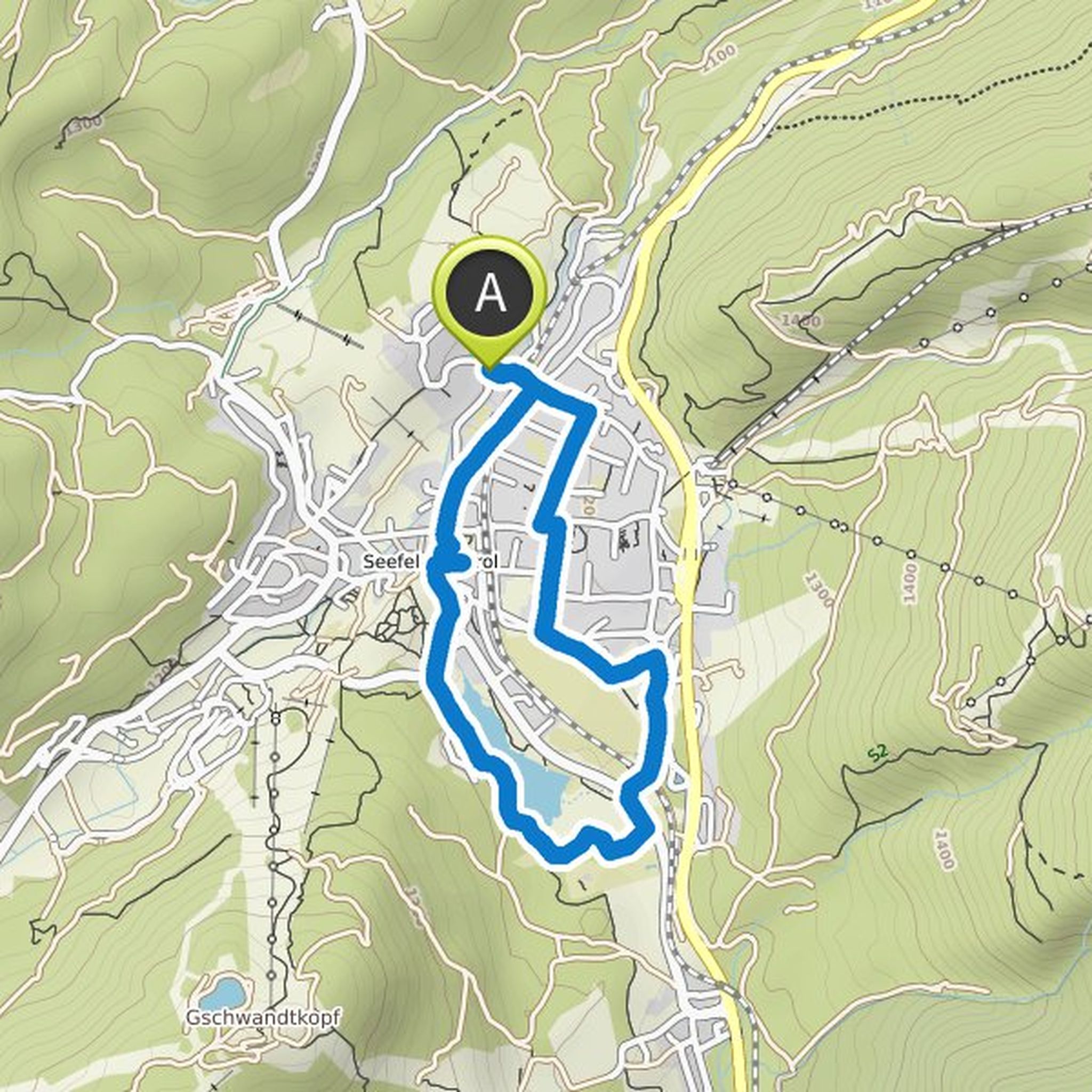
HansWurst15 planned a hike
September 22, 2021
Time
Distance
Speed
Ascent
Descent
HansWurst15 planned a hike
September 22, 2021
Time
Distance
Speed
Ascent
Descent
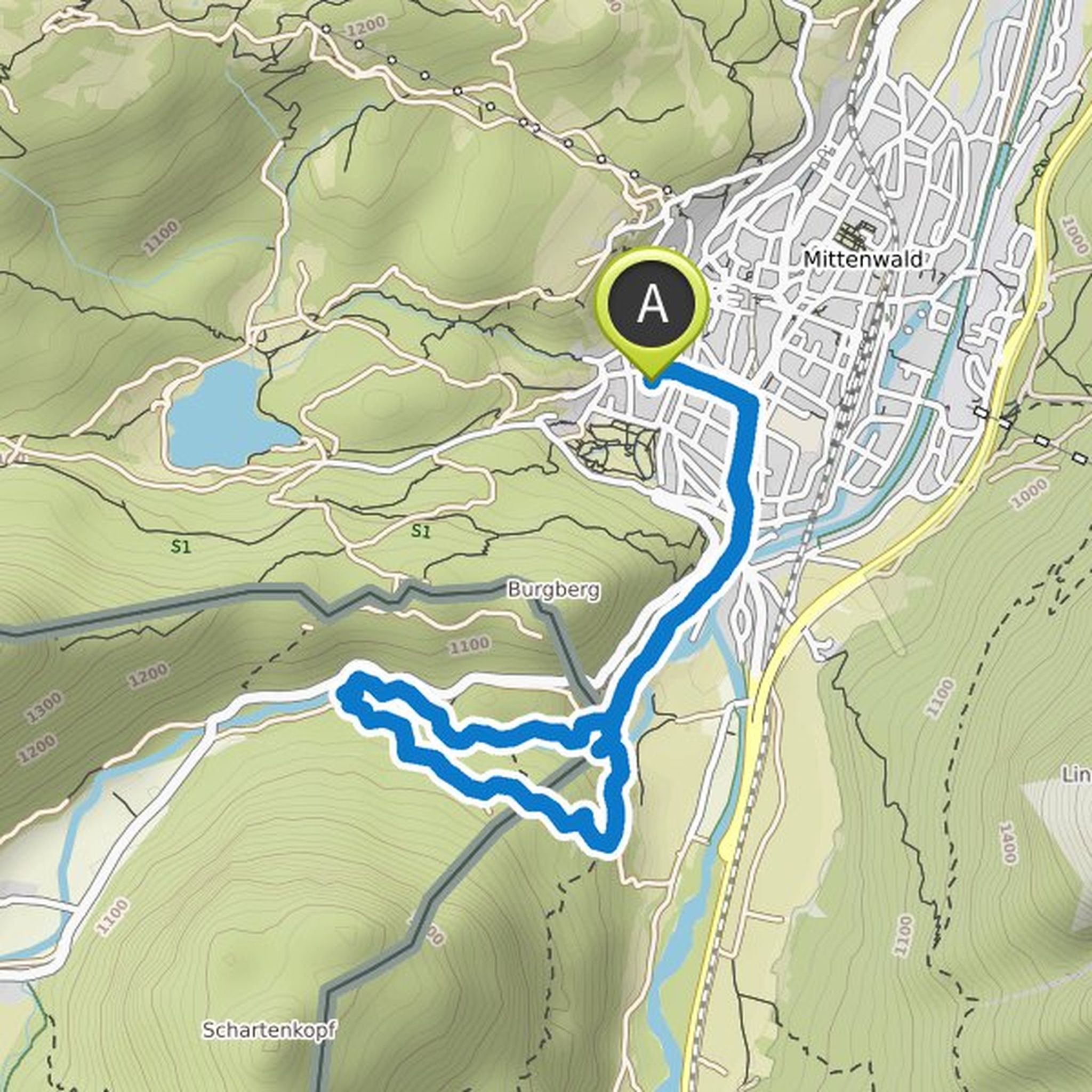
HansWurst15 planned a hike
September 11, 2020
Time
Distance
Speed
Ascent
Descent
HansWurst15 and Betti Nick planned a hike
September 10, 2020
Time
Distance
Speed
Ascent
Descent
HansWurst15 planned a hike
August 26, 2020
Time
Distance
Speed
Ascent
Descent
HansWurst15 planned a hike
August 26, 2020
Time
Distance
Speed
Ascent
Descent
HansWurst15 planned a hike
June 30, 2020
Time
Distance
Speed
Ascent
Descent
HansWurst15 planned a hike
June 17, 2020
Time
Distance
Speed
Ascent
Descent
HansWurst15 planned a hike
June 1, 2020
Time
Distance
Speed
Ascent
Descent

HansWurst15 planned a hike
February 24, 2018
Time
Distance
Speed
Ascent
Descent
HansWurst15 planned a hike
February 22, 2018
Time
Distance
Speed
Ascent
Descent
Berni59 likes this.
May 28, 2022
Unfortunately I'm too far away. I wish you a lot of fun and nature. Cheers Berni 👍
Translated by Google •