Timeline
paul.vorsatz and others planned a road ride
September 19, 2025
Time
Distance
Speed
Ascent
Descent
paul.vorsatz likes this.
paul.vorsatz planned a bike ride
August 8, 2024
Time
Distance
Speed
Ascent
Descent
August 8, 2024
Parking in the central parking garage P3 directly on the cycle path.
Hintere Längentalalm open daily until October
Translated by Google •
paul.vorsatz planned a bike ride
July 6, 2023
Time
Distance
Speed
Ascent
Descent
August 1, 2023
Slightly modified, as the route through Giengen/Herrechtingen is very busy and not particularly worth seeing. However, if you value the Steiff Museum, you must take the original route!
Translated by Google •
paul.vorsatz planned a bike ride
June 30, 2023
Time
Distance
Speed
Ascent
Descent
paul.vorsatz likes this.
June 30, 2023
On our second F&F tour we collect a few meters of altitude, because we first drive through the Glonntal and then briefly through the Mangfalltal before we get the curve back to home. The route is very well suited for gravel bikers, we ride 95% on asphalt and mostly on quiet side roads and the good news
Translated by Google •
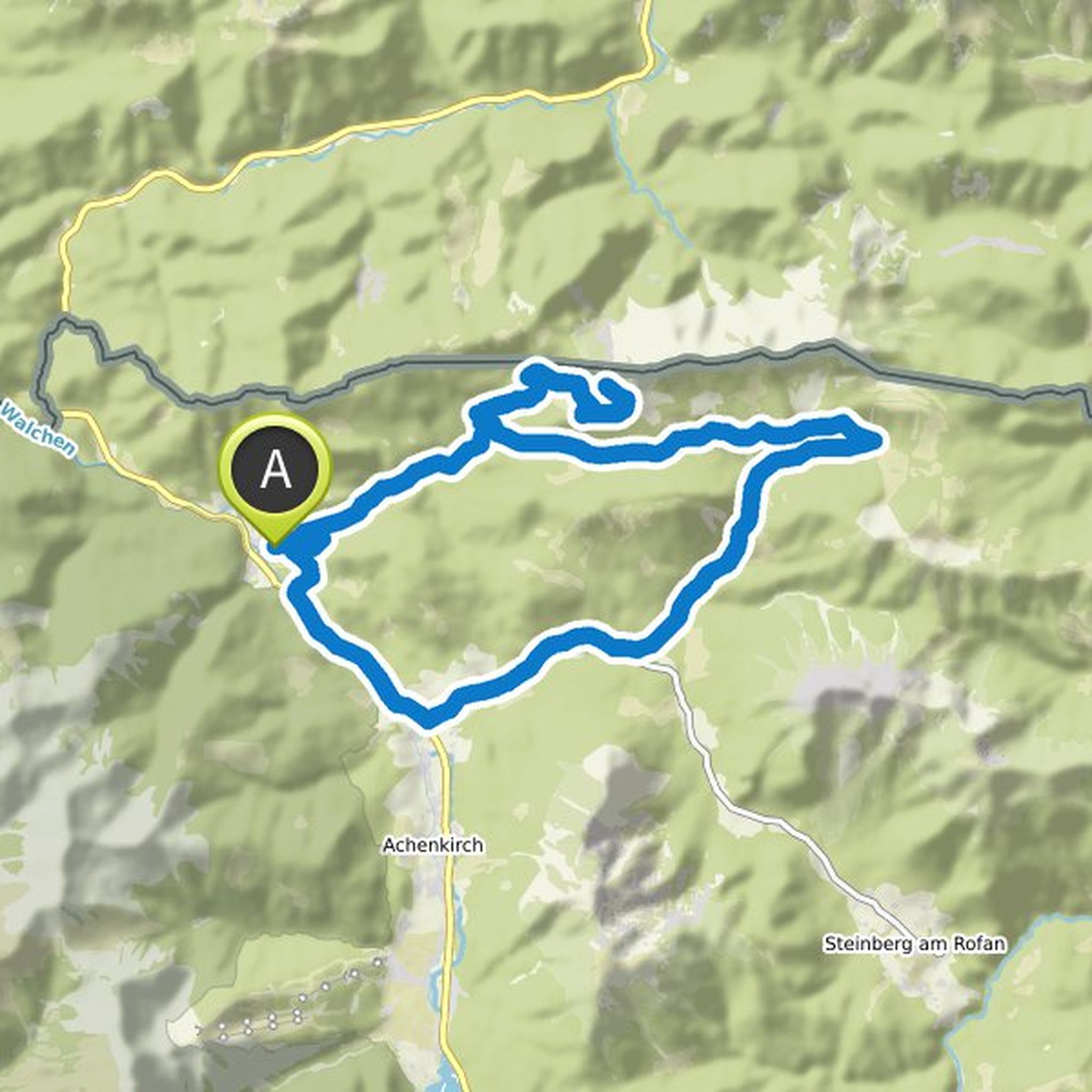
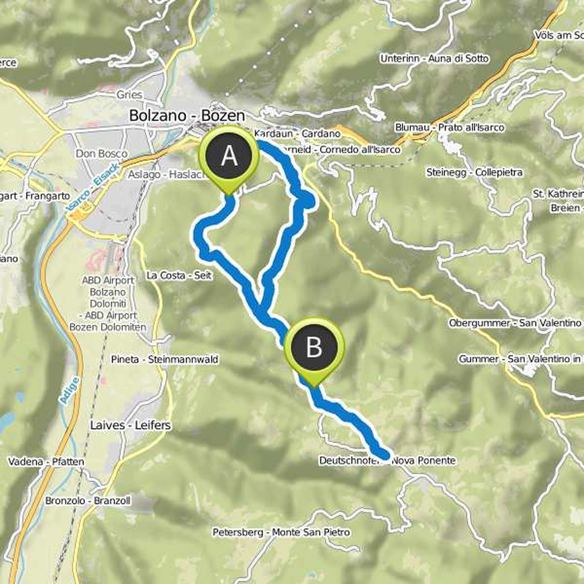
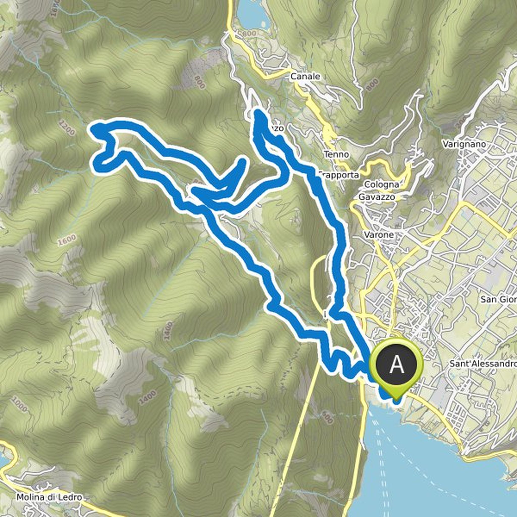
paul.vorsatz planned a mountain bike ride
August 31, 2019
Time
Distance
Speed
Ascent
Descent
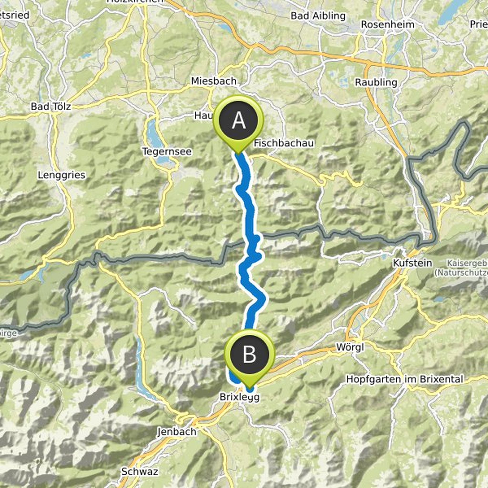
paul.vorsatz planned a mountain bike ride
June 6, 2019
Time
Distance
Speed
Ascent
Descent
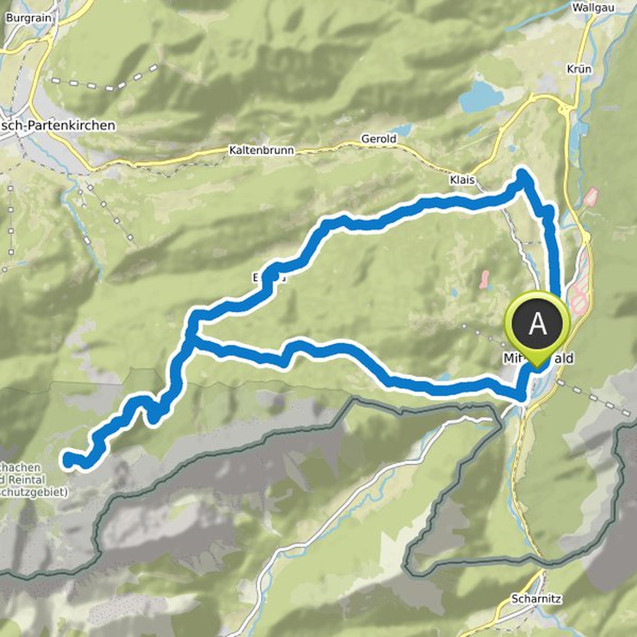
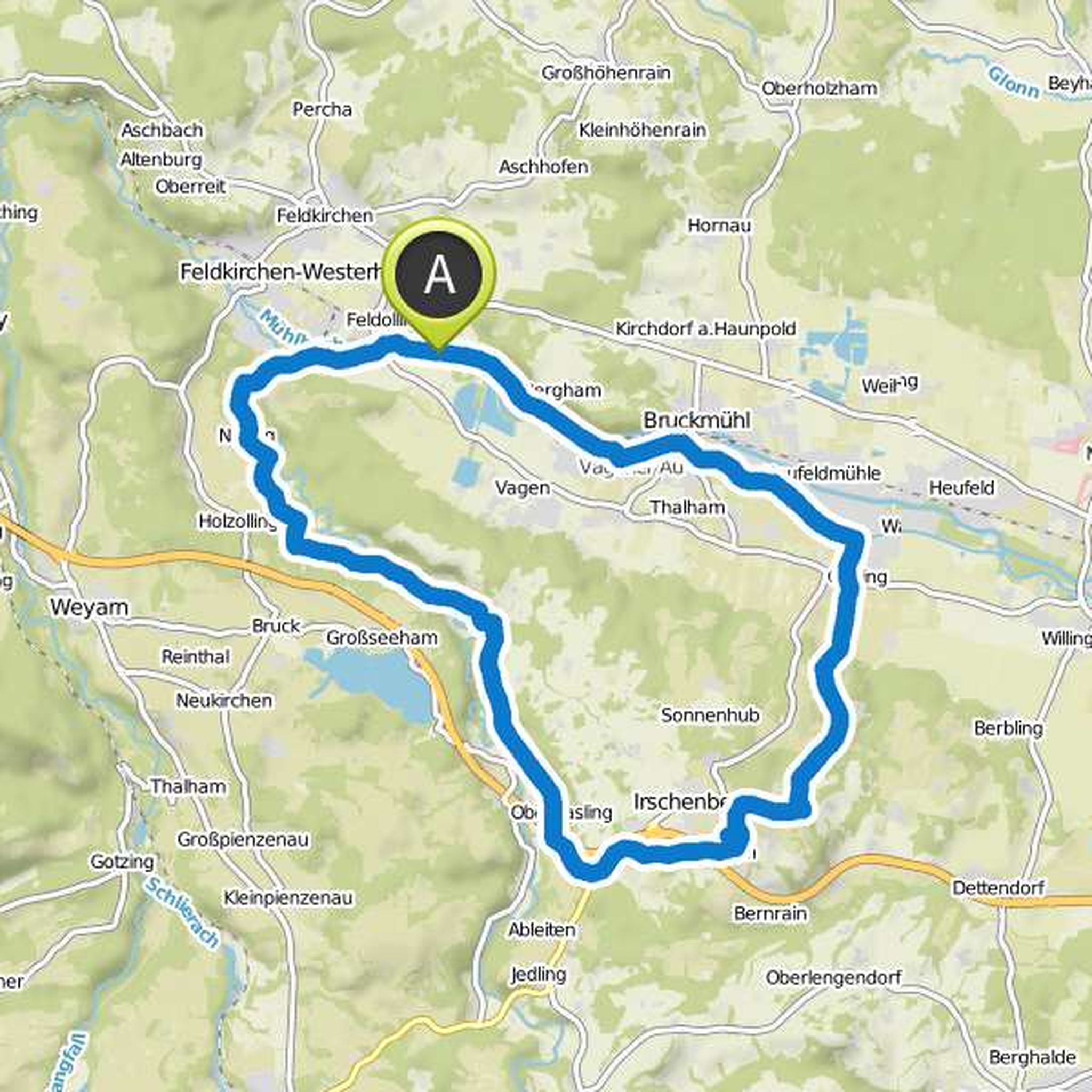
paul.vorsatz and Simon Vorsatz planned a mountain bike ride
May 29, 2019
Time
Distance
Speed
Ascent
Descent
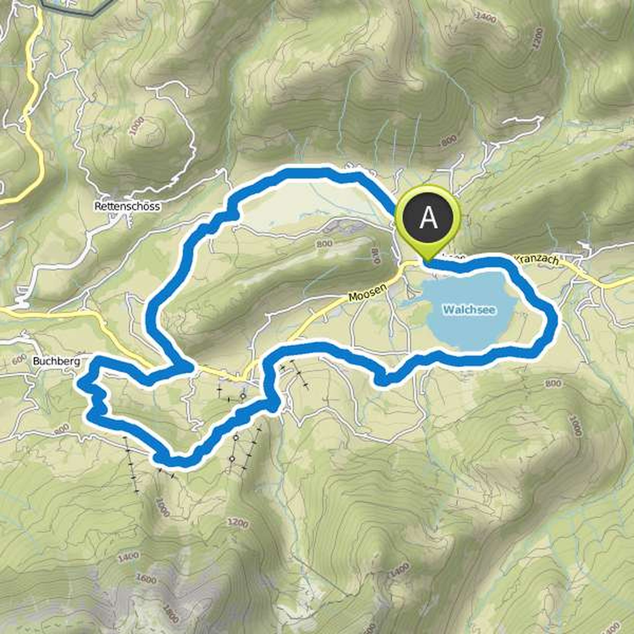
paul.vorsatz planned a mountain bike ride
August 15, 2018
Time
Distance
Speed
Ascent
Descent
paul.vorsatz likes this.
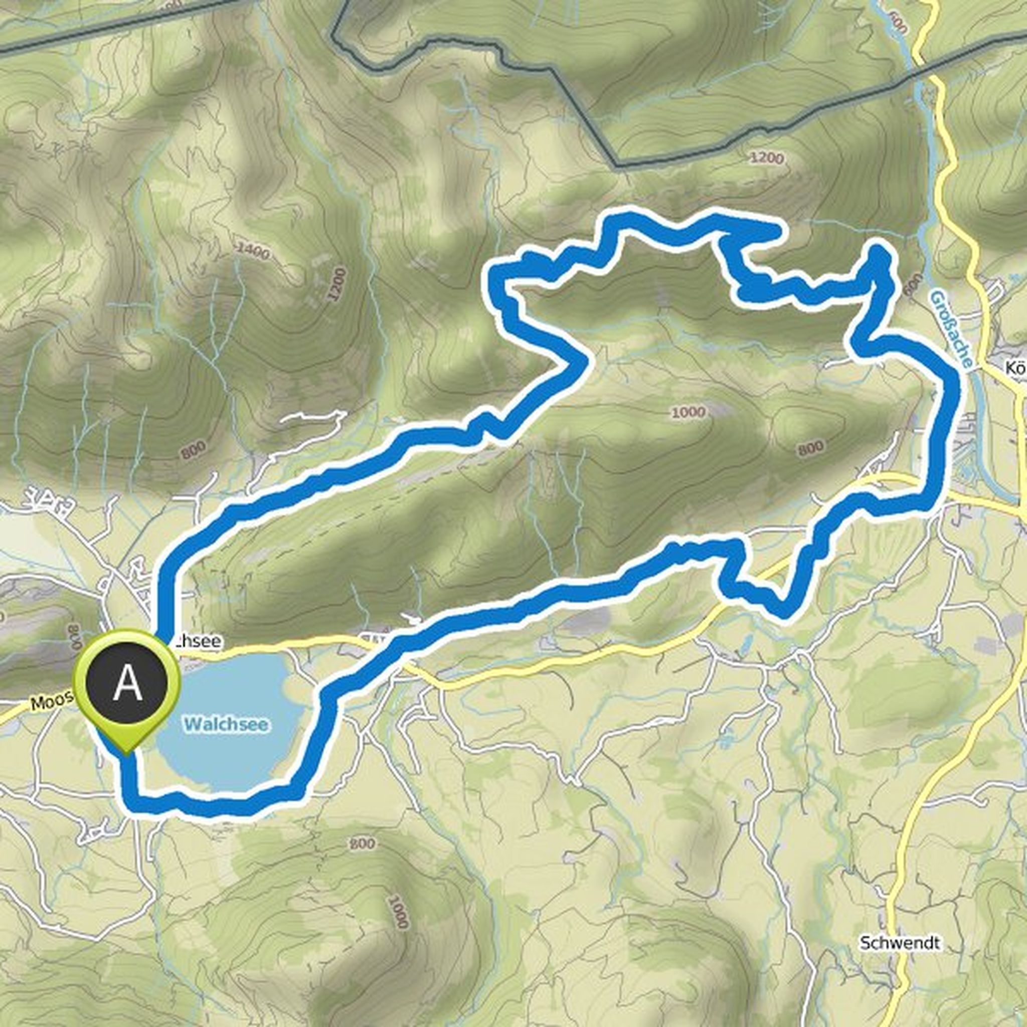
August 4, 2017
Scenic a really nice tour; the alpine pastures in Kaiserwinkl are all very good, but for me the Naringalm is the top alp. A bath in Walchsee completes the tour perfectly.
Translated by Google •
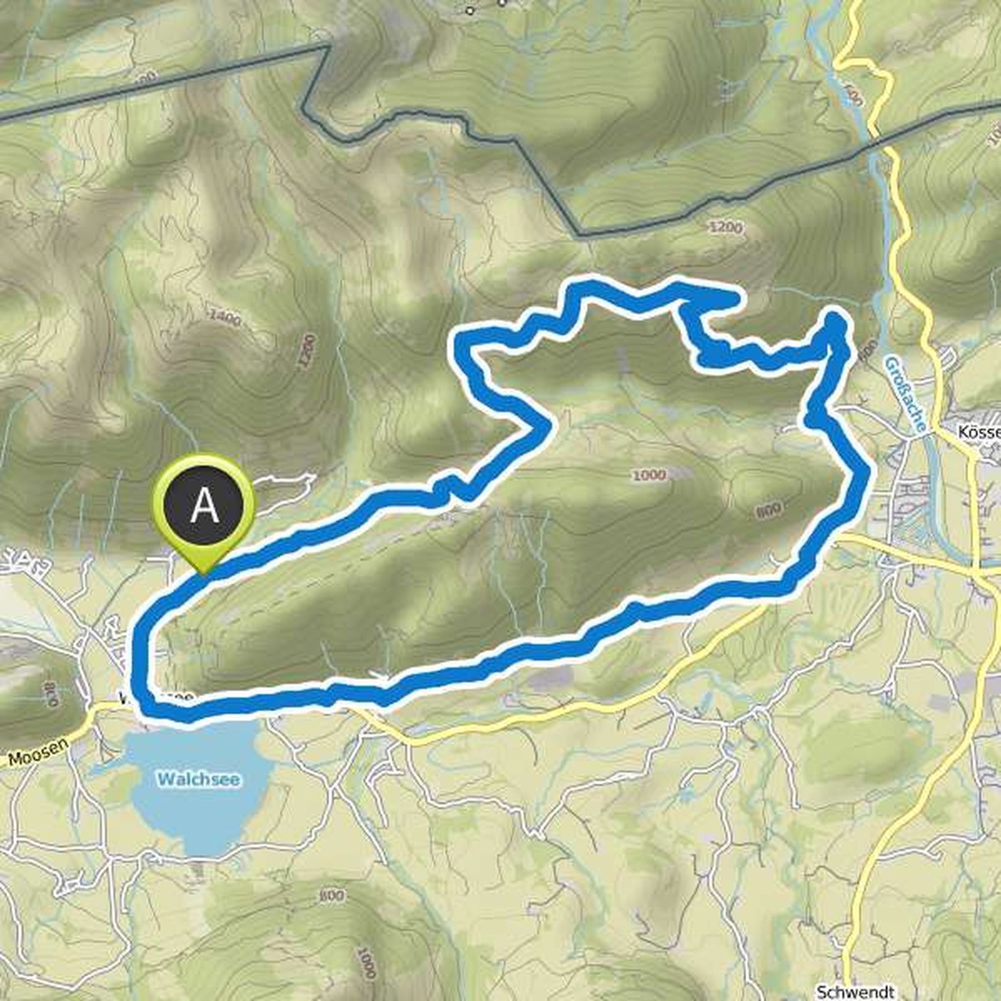
paul.vorsatz planned a mountain bike ride
May 9, 2018
Time
Distance
Speed
Ascent
Descent
paul.vorsatz planned a mountain bike ride
August 4, 2017
Time
Distance
Speed
Ascent
Descent
paul.vorsatz planned a mountain bike ride
July 30, 2017
Time
Distance
Speed
Ascent
Descent
paul.vorsatz planned a mountain bike ride
July 4, 2017
Time
Distance
Speed
Ascent
Descent
paul.vorsatz likes this.
July 12, 2017
not bad
Translated by Google •
paul.vorsatz planned a mountain bike ride
May 1, 2012
Time
Distance
Speed
Ascent
Descent
July 6, 2025
Break: Hofcafè Golkofer at KM 40 in Golkofen
Translated by Google •