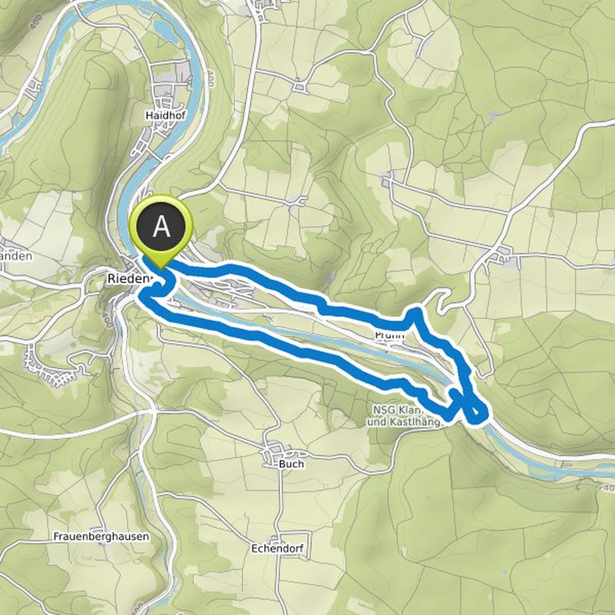
Timeline
Ursel EDENHARTER planned a hike
October 15, 2022
Time
3h09m
Distance
9.96km
Speed
3.2km/h
Ascent
400m
Descent
400m
Map data © OpenStreetMap contributors
Ursel EDENHARTER planned a hike
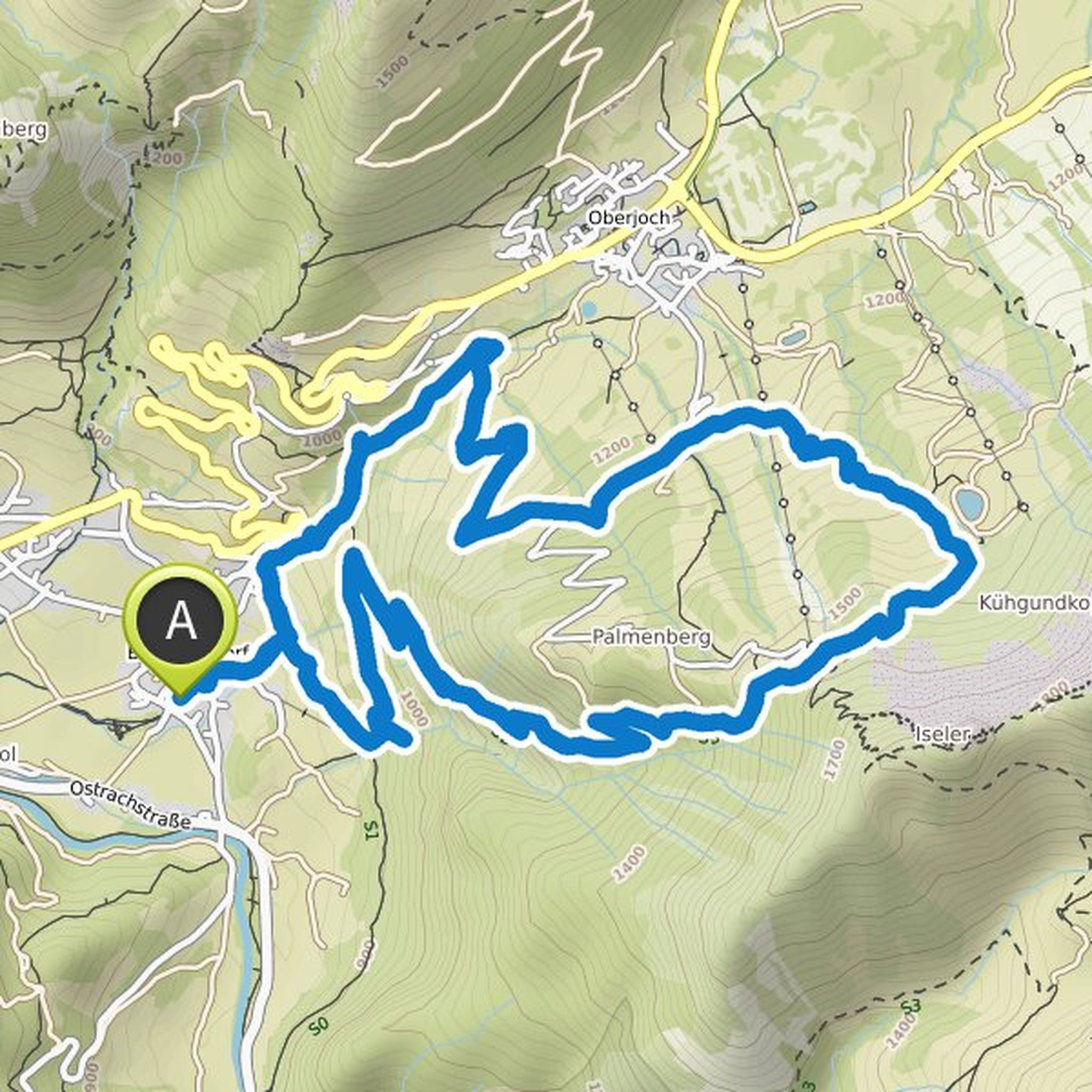
September 5, 2022
Time
7h16m
Distance
14.7km
Speed
2.0km/h
Ascent
1,090m
Descent
1,100m
Map data © OpenStreetMap contributors
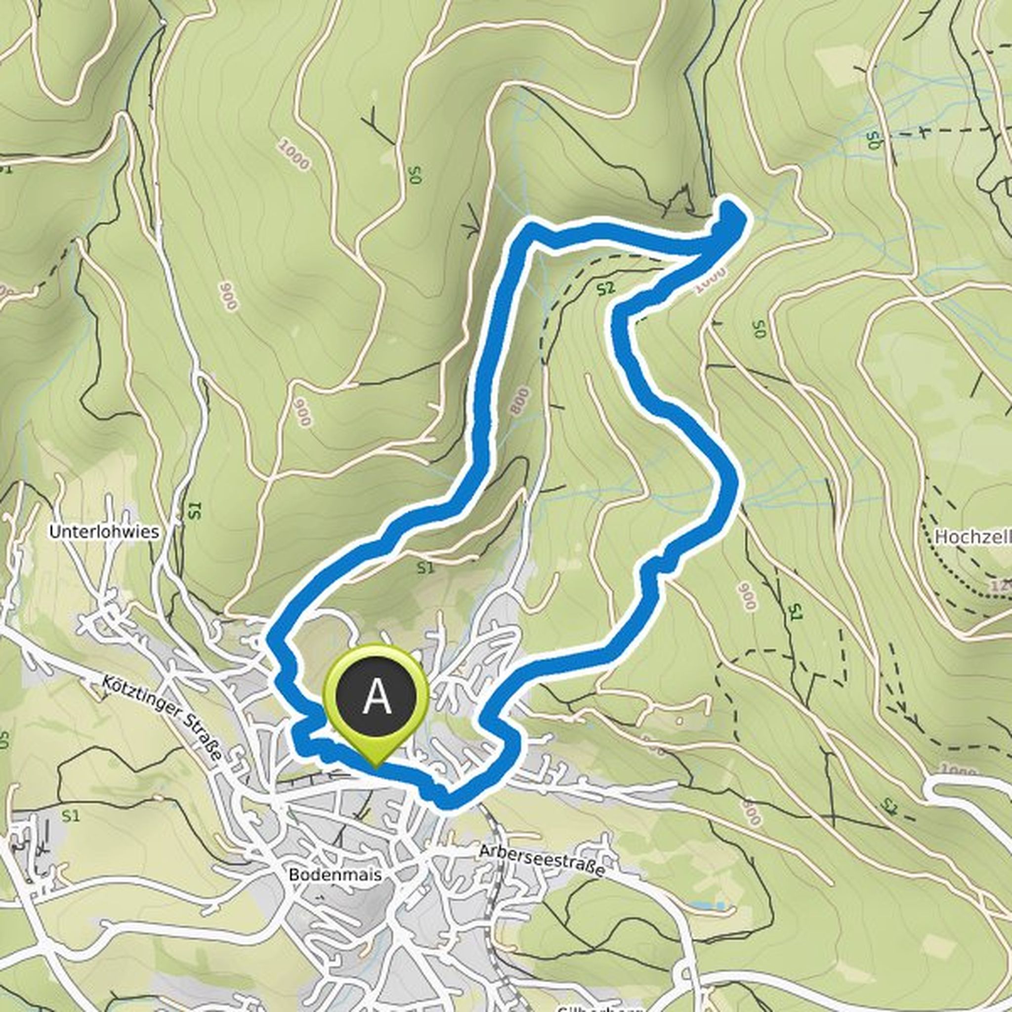
Ursel EDENHARTER planned a hike
August 6, 2022
Time
3h37m
Distance
12.4km
Speed
3.4km/h
Ascent
340m
Descent
330m
Map data © OpenStreetMap contributors
Ursel EDENHARTER planned a hike
July 30, 2021
Time
6h50m
Distance
15.4km
Speed
2.3km/h
Ascent
1,020m
Descent
1,020m

Map data © OpenStreetMap contributors
Ursel EDENHARTER planned a hike
July 26, 2021
Time
4h43m
Distance
12.5km
Speed
2.7km/h
Ascent
780m
Descent
780m
Map data © OpenStreetMap contributors
Ursel EDENHARTER planned a hike
April 25, 2021
Time
3h31m
Distance
11.8km
Speed
3.3km/h
Ascent
370m
Descent
370m

Map data © OpenStreetMap contributors
Ursel EDENHARTER planned a hike
November 30, 2020
Time
2h28m
Distance
7.63km
Speed
3.1km/h
Ascent
330m
Descent
320m
Map data © OpenStreetMap contributors
Ursel EDENHARTER planned a hike
November 7, 2020
Time
3h53m
Distance
12.8km
Speed
3.3km/h
Ascent
330m
Descent
330m
Map data © OpenStreetMap contributors
Ursel EDENHARTER planned a hike
May 31, 2020
Time
3h43m
Distance
13.5km
Speed
3.6km/h
Ascent
230m
Descent
230m

Map data © OpenStreetMap contributors