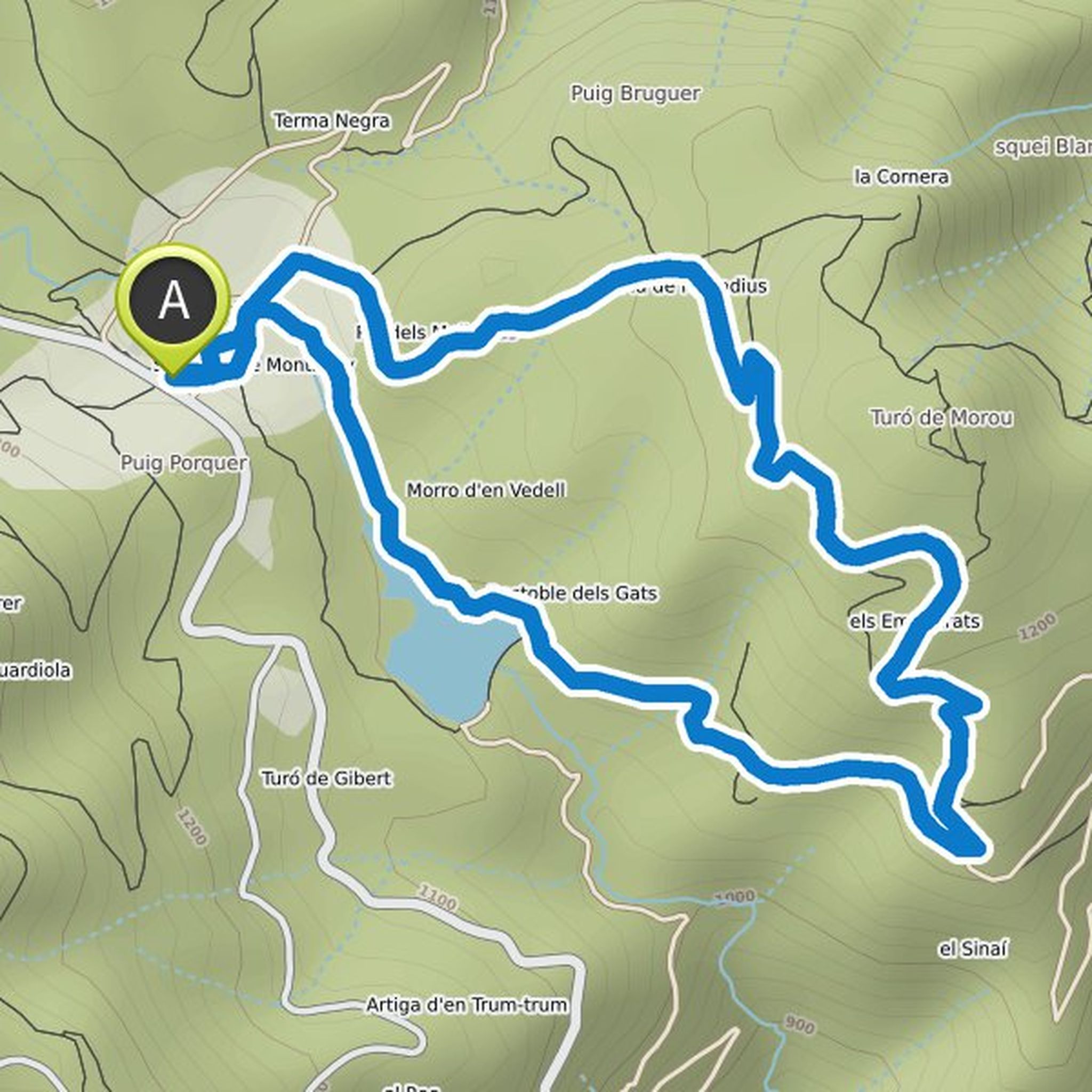
Timeline
Carlos Torremocha and others planned a hike
July 13, 2020
Time
9h57m
Distance
21.4km
Speed
2.2km/h
Ascent
1,520m
Descent
1,510m
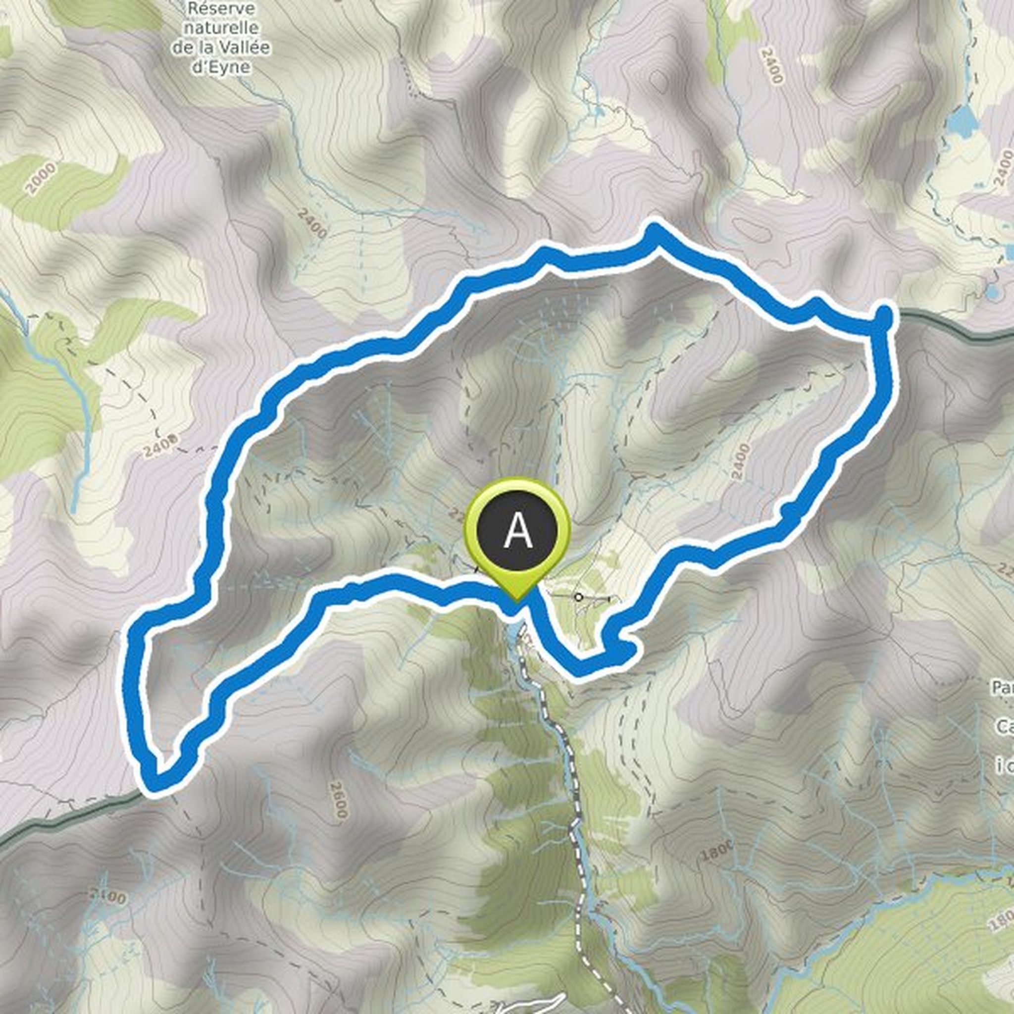
Map data © OpenStreetMap contributors
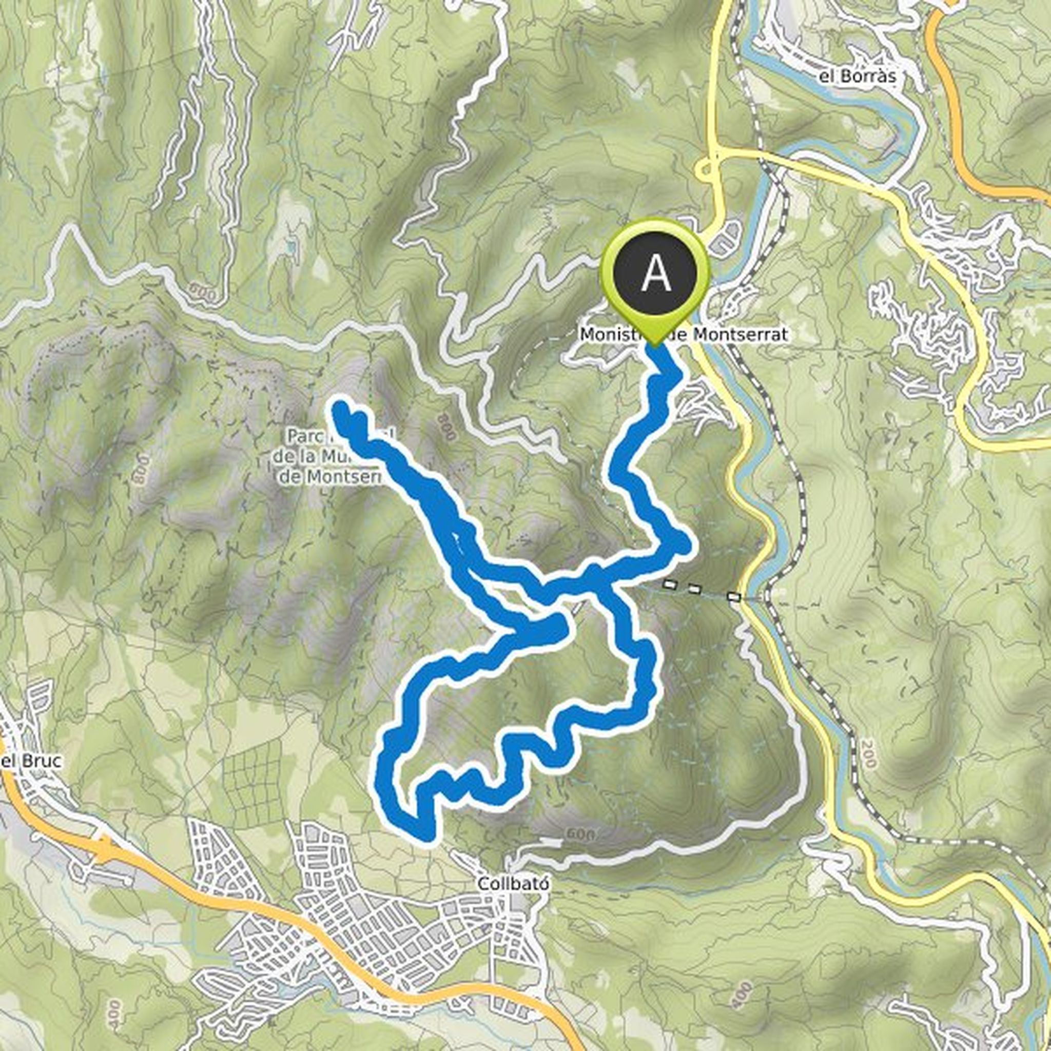
Toni planned a run
June 22, 2020
Time
3h46m
Distance
22.2km
Pace
10:10/km
Ascent
680m
Descent
680m
Map data © OpenStreetMap contributors
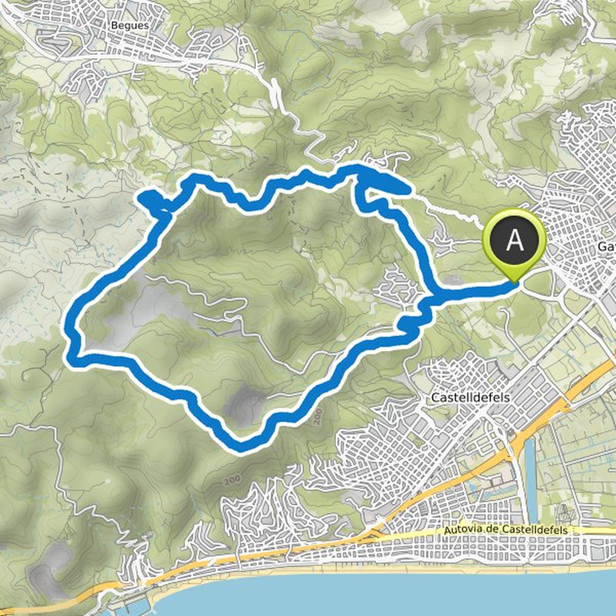
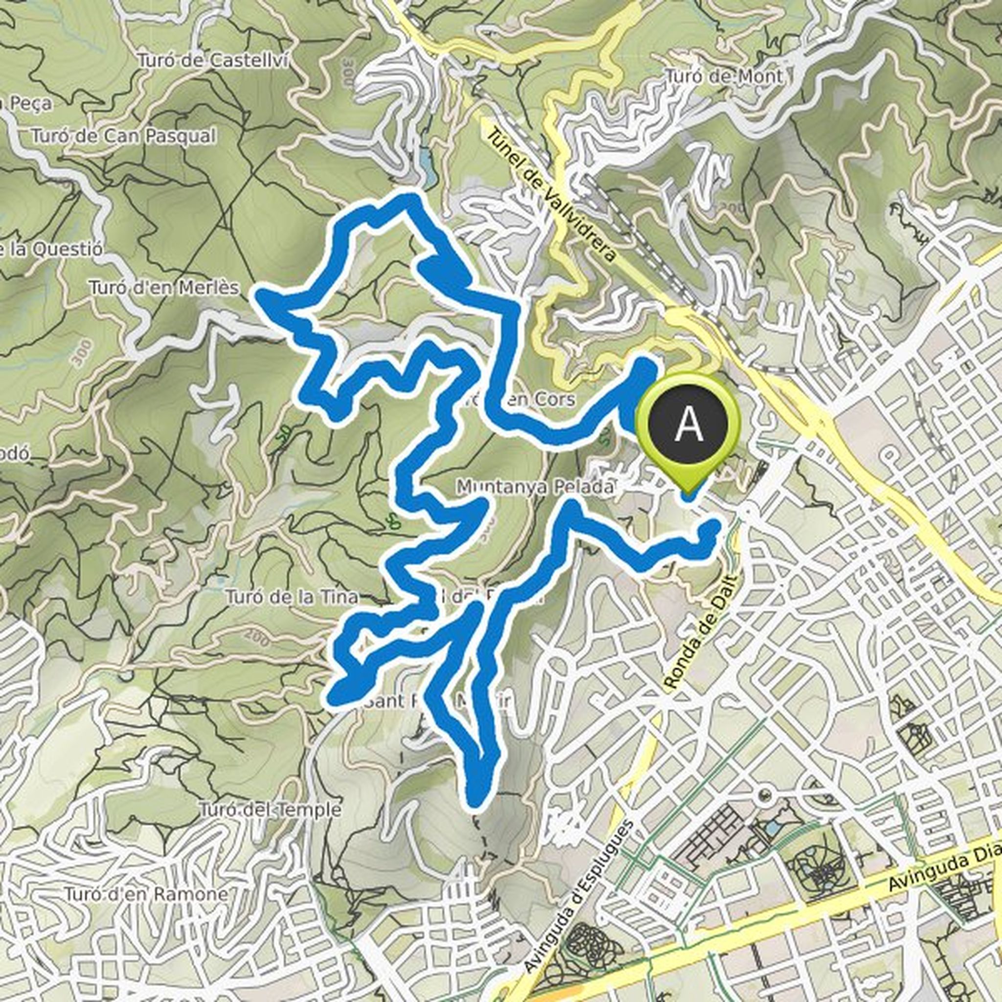
Gabla and others planned a run
June 19, 2020
Time
4h48m
Distance
24.8km
Pace
11:36/km
Ascent
1,530m
Descent
1,530m
Map data © OpenStreetMap contributors
Carlos Torremocha and others planned a hike
May 25, 2020
Time
7h23m
Distance
20.8km
Speed
2.8km/h
Ascent
1,100m
Descent
1,110m
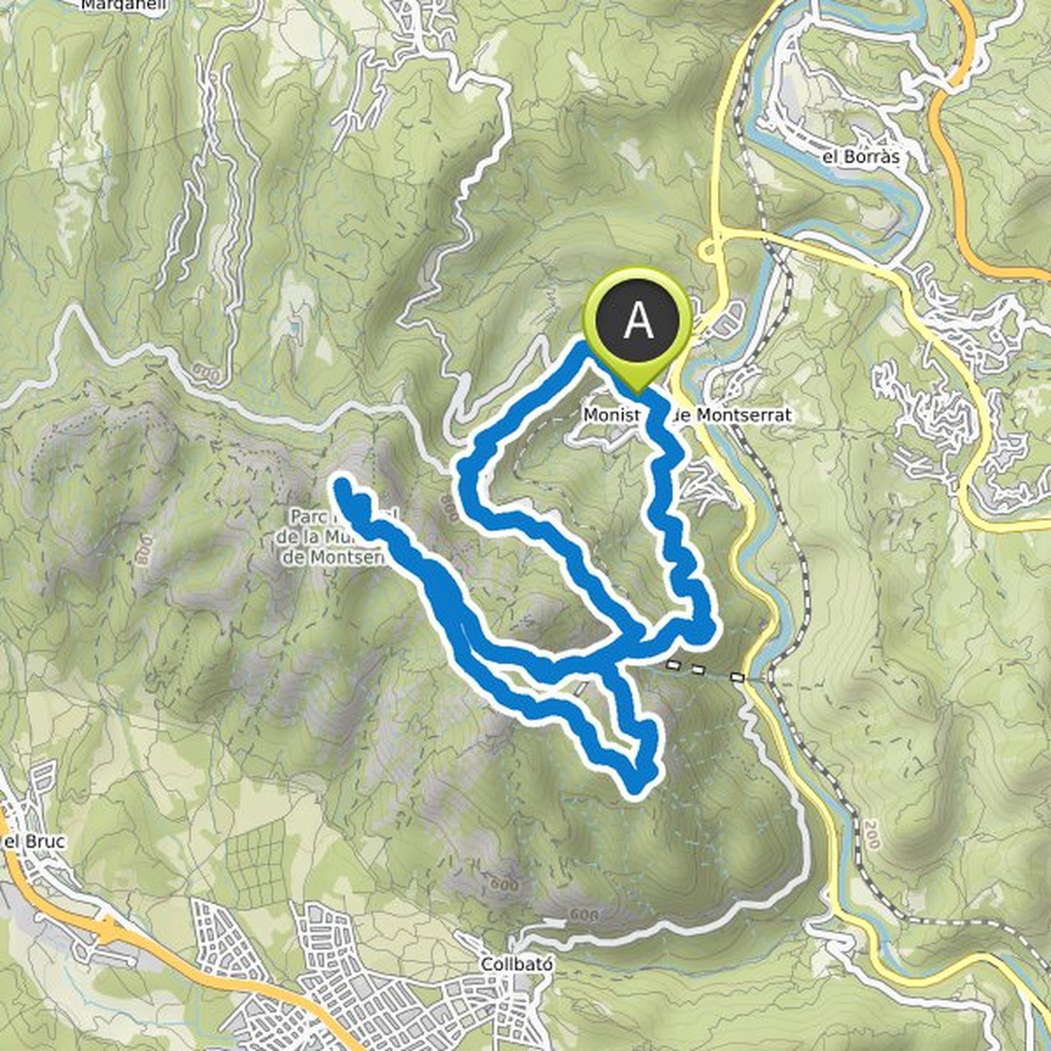
Map data © OpenStreetMap contributors
Carlos Torremocha and Toni planned a run
October 24, 2013
Time
1h45m
Distance
13.5km
Pace
7:47/km
Ascent
420m
Descent
420m
Map data © OpenStreetMap contributors
Toni planned a hike
December 9, 2011
Time
1h42m
Distance
5.77km
Speed
3.4km/h
Ascent
170m
Descent
170m
Map data © OpenStreetMap contributors
June 23, 2020
Very technical difficult route, easy parking next to gava firefighters. There we start a couple of km pisteros from there we start with rocky terrain. The track continues well without complications. At km 16 we reach the cut rock area, the track deviates us shortly before arriving. Km 18 we have a source
Translated by Google •