Timeline
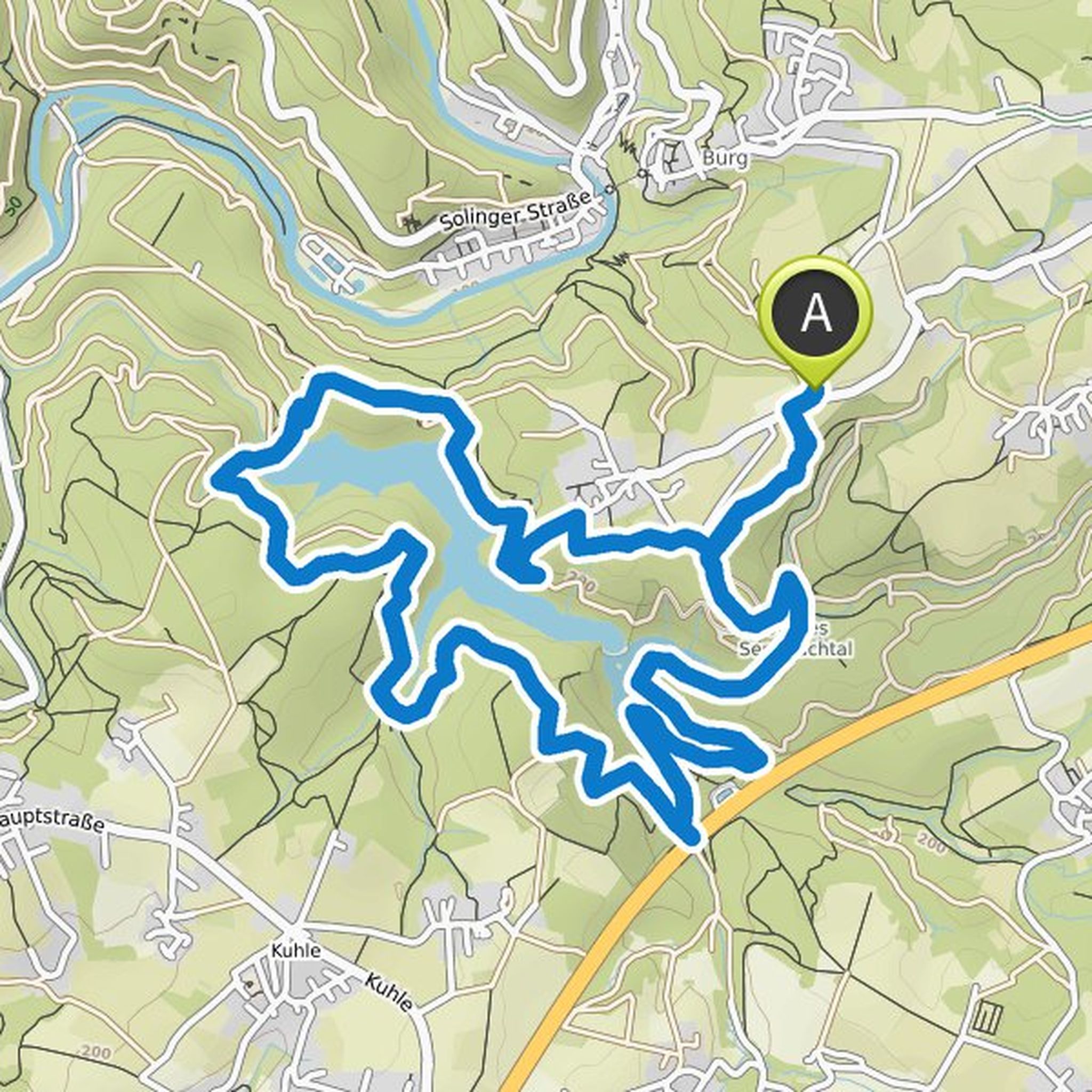
Anke Paulat planned a hike
January 29, 2022
Time
2h59m
Distance
11.7km
Speed
3.9km/h
Ascent
40m
Descent
40m

Map data © OpenStreetMap contributors
Anke Paulat planned a hike
November 28, 2021
Time
1h36m
Distance
6.30km
Speed
3.9km/h
Ascent
10m
Descent
10m

Map data © OpenStreetMap contributors
Anke Paulat planned a hike
November 28, 2021
Time
1h31m
Distance
5.96km
Speed
3.9km/h
Ascent
10m
Descent
10m

Map data © OpenStreetMap contributors
Anke Paulat planned a hike
October 4, 2021
Time
2h38m
Distance
8.65km
Speed
3.3km/h
Ascent
210m
Descent
210m

Map data © OpenStreetMap contributors
Anke Paulat planned a hike
October 4, 2021
Time
1h38m
Distance
5.92km
Speed
3.6km/h
Ascent
100m
Descent
90m

Map data © OpenStreetMap contributors
Anke Paulat planned a hike
May 23, 2021
Time
2h41m
Distance
10.2km
Speed
3.8km/h
Ascent
80m
Descent
80m

Map data © OpenStreetMap contributors
Anke Paulat planned a hike
May 23, 2021
Time
1h44m
Distance
6.38km
Speed
3.7km/h
Ascent
90m
Descent
80m

Map data © OpenStreetMap contributors
Anke Paulat planned a hike
June 9, 2020
Time
3h04m
Distance
11.1km
Speed
3.6km/h
Ascent
200m
Descent
200m
Map data © OpenStreetMap contributors