Timeline
Justina planned a hike
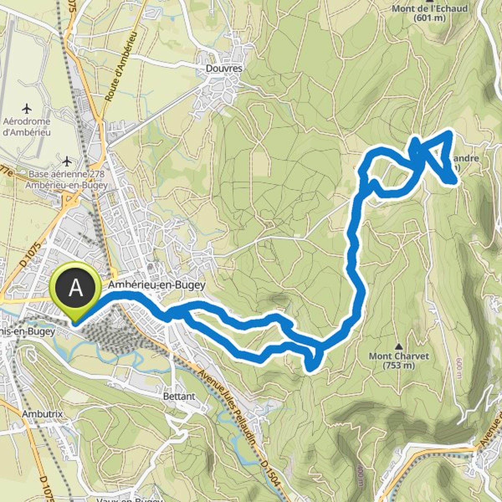
November 18, 2020
Time
2h51m
Distance
10.2km
Speed
3.6km/h
Ascent
190m
Descent
190m

Map data © OpenStreetMap contributors
Justina planned a hike
October 21, 2020
Time
2h17m
Distance
8.37km
Speed
3.7km/h
Ascent
120m
Descent
120m

Map data © OpenStreetMap contributors
Justina planned a hike
July 4, 2020
Time
2h48m
Distance
10.9km
Speed
3.9km/h
Ascent
40m
Descent
40m

Map data © OpenStreetMap contributors
Justina planned a hike
July 4, 2020
Time
3h14m
Distance
11.7km
Speed
3.6km/h
Ascent
210m
Descent
210m

Map data © OpenStreetMap contributors
Justina planned a hike
June 12, 2020
Time
3h06m
Distance
11.5km
Speed
3.7km/h
Ascent
140m
Descent
140m

Map data © OpenStreetMap contributors
Justina planned a hike
June 7, 2020
Time
3h18m
Distance
12.5km
Speed
3.8km/h
Ascent
110m
Descent
110m

Map data © OpenStreetMap contributors
Justina planned a hike
June 7, 2020
Time
3h24m
Distance
12.8km
Speed
3.8km/h
Ascent
130m
Descent
130m

Map data © OpenStreetMap contributors
Justina planned a hike
June 7, 2020
Time
3h20m
Distance
12.4km
Speed
3.7km/h
Ascent
160m
Descent
160m

Map data © OpenStreetMap contributors
Justina planned a hike
June 7, 2020
Time
3h06m
Distance
12.0km
Speed
3.9km/h
Ascent
70m
Descent
70m

Map data © OpenStreetMap contributors
loic and others planned a mountaineering activity
October 20, 2015
Time
8h13m
Distance
22.2km
Speed
2.7km/h
Ascent
770m
Descent
770m
Map data © OpenStreetMap contributors
YannickCopin, Rookie, and others like this.
May 7, 2021
An absolutely gorgeous country side hike to do in may. Flowers everywhere, goats, cows, chickens, and horses along the trail. What a treat!