Timeline
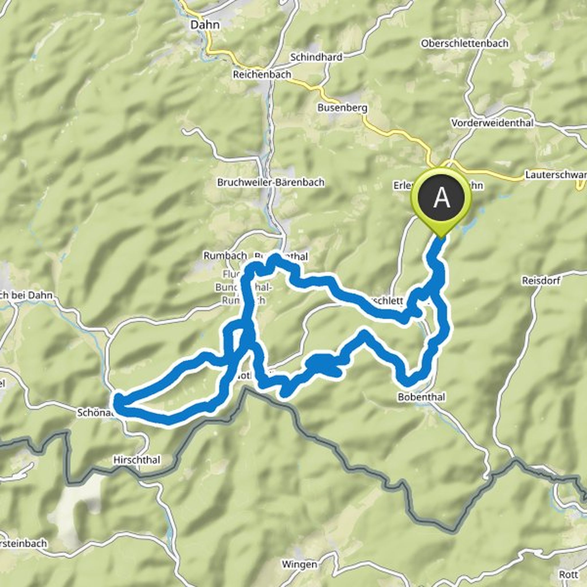
Konrad planned a mountain bike ride
May 22, 2024
Time
Distance
Speed
Ascent
Descent
Konrad planned an adventure
March 26, 2024
Time
Distance
Speed
Ascent
Descent
Konrad planned a mountain bike ride
May 17, 2023
Time
Distance
Speed
Ascent
Descent
Time
Distance
Pace
Ascent
Descent
Konrad planned a gravel ride
January 19, 2022
Time
Distance
Speed
Ascent
Descent

Konrad planned a gravel ride
August 4, 2021
Time
Distance
Speed
Ascent
Descent

Time
Distance
Speed
Ascent
Descent
Time
Distance
Speed
Ascent
Descent

Konrad planned a gravel ride
June 7, 2021
Time
Distance
Speed
Ascent
Descent

June 7, 2021
Part 3/3 of Konrads Supreme 0711 Gravel 30s series | Kassische Gravelrunde around Stuttgart for gravel bikes, touring bikes, mountain bikes etc. without higher technical demands (no trails)
Translated by Google •
Konrad planned a gravel ride
June 7, 2021
Time
Distance
Speed
Ascent
Descent

Bage likes this.
June 7, 2021
Part 1/3 of Konrads Supreme 0711 Gravel 30s series | Kassische Gravelrunde around Stuttgart for gravel bikes, touring bikes, mountain bikes etc. without higher technical demands (no trails) | Great views of the boiler town of Stuttgart and great panoramas | High proportion of forest roads and, if possible
Translated by Google •
Konrad planned a gravel ride
June 7, 2021
Time
Distance
Speed
Ascent
Descent

Bage likes this.
June 7, 2021
Part 2/3 of Konrads Supreme 0711 Gravel 30s series | Kassische Gravelrunde high in and through the Schurwald for gravel bikes, touring bikes, mountain bikes etc. without higher technical demands (no trails)
Translated by Google •
Konrad and Tobias Rollbrett planned a mountain bike ride
August 22, 2020
Time
Distance
Speed
Ascent
Descent

Konrad planned a mountain bike ride
June 24, 2020
Time
Distance
Speed
Ascent
Descent

Konrad planned a mountain bike ride
June 24, 2020
Time
Distance
Speed
Ascent
Descent

May 24, 2024
Beautiful mountain bike tour through the Odenwald from the Odenwald Camping Park with a few trails such as the Ho Chi Minh and Corsica Trail. The hiking destination Schönbrunn is a nice place to stop for a break. Finally, there is the descent to Hirschhorn Castle.
Translated by Google •