Timeline
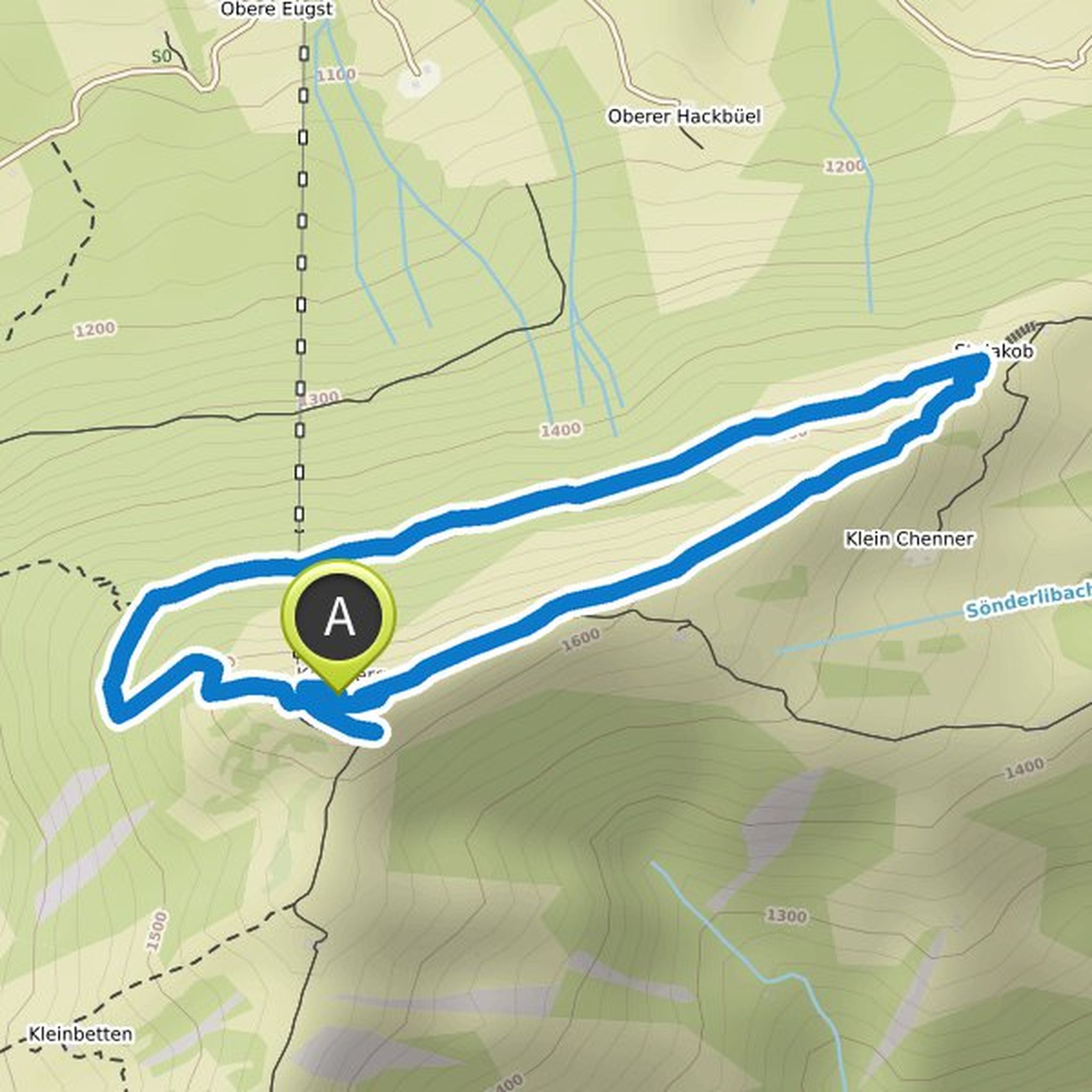
Sarah Dietschweiler planned a hike
August 21, 2022
Time
Distance
Speed
Ascent
Descent
Sarah Dietschweiler planned a hike
August 21, 2022
Time
Distance
Speed
Ascent
Descent
Sarah Dietschweiler planned a hike
June 23, 2022
Time
Distance
Speed
Ascent
Descent
Sarah Dietschweiler planned a hike
May 24, 2022
Time
Distance
Speed
Ascent
Descent
Sarah Dietschweiler planned a mountain bike ride
May 14, 2022
Time
Distance
Speed
Ascent
Descent
Sarah Dietschweiler planned a hike
November 1, 2021
Time
Distance
Speed
Ascent
Descent

Sarah Dietschweiler planned a hike
October 29, 2021
Time
Distance
Speed
Ascent
Descent

Sarah Dietschweiler planned a hike
October 17, 2021
Time
Distance
Speed
Ascent
Descent

Sarah Dietschweiler planned a hike
October 14, 2021
Time
Distance
Speed
Ascent
Descent
Sarah Dietschweiler planned a mountain bike ride
July 29, 2021
Time
Distance
Speed
Ascent
Descent
