Timeline
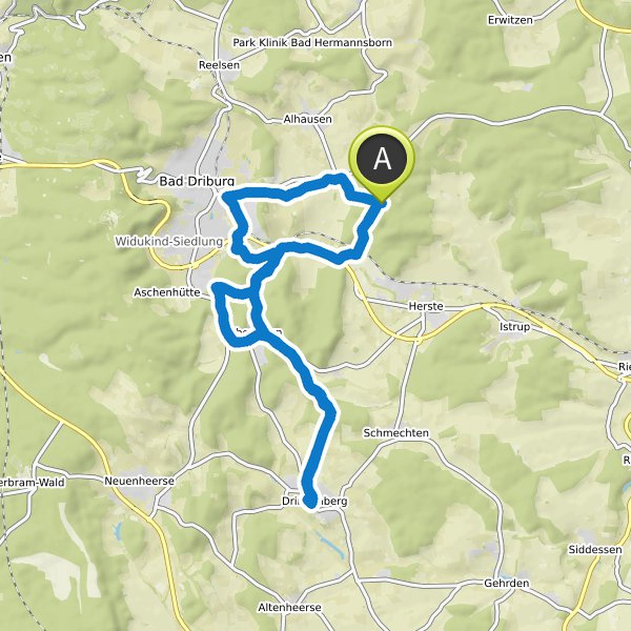
Kurt unterwegs planned a hike
February 19, 2023
Time
Distance
Speed
Ascent
Descent
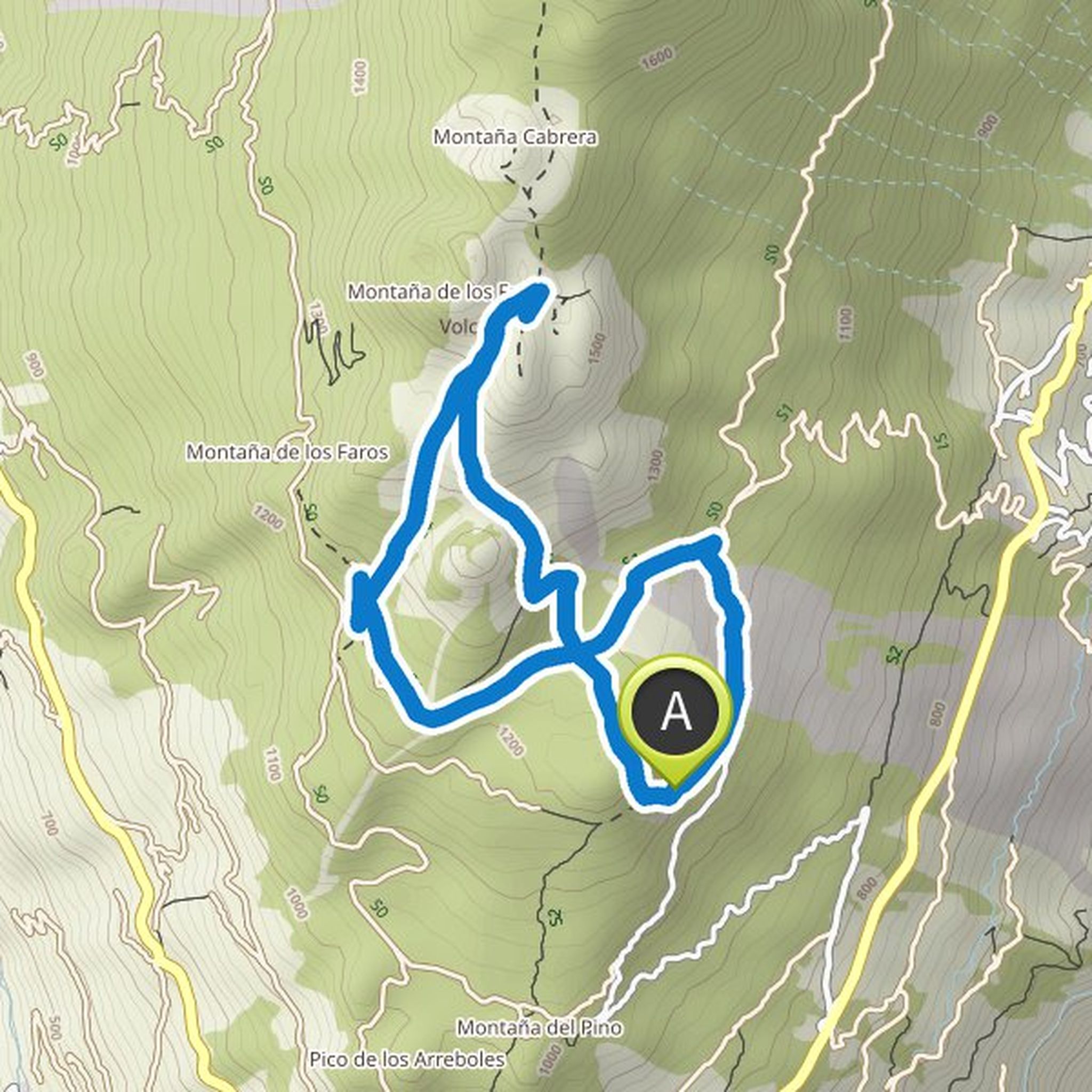
Kurt unterwegs planned a hike
February 19, 2023
Time
Distance
Speed
Ascent
Descent
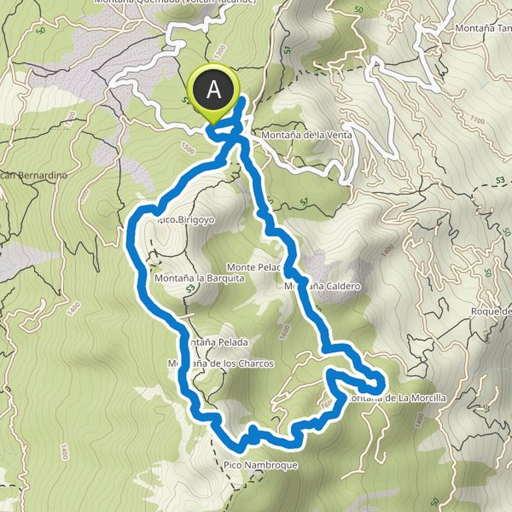
Kurt unterwegs planned a hike
August 1, 2022
Time
Distance
Speed
Ascent
Descent
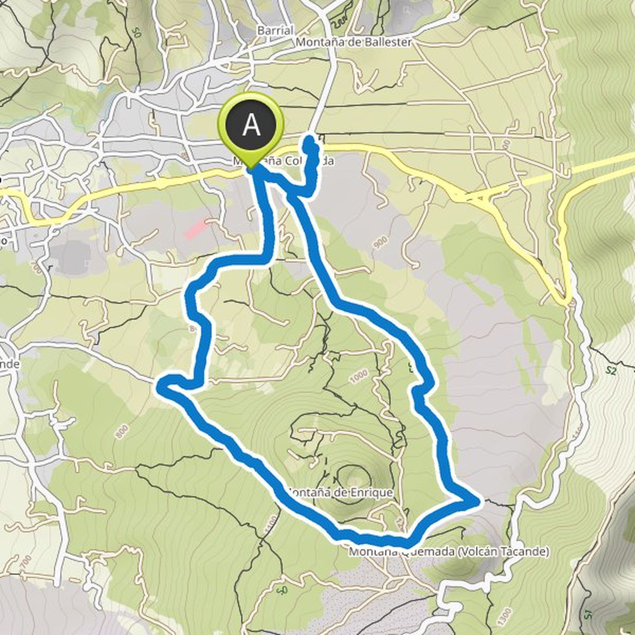
Kurt unterwegs planned a hike
June 12, 2022
Time
Distance
Speed
Ascent
Descent
Kurt unterwegs planned a hike
May 15, 2022
Time
Distance
Speed
Ascent
Descent
Kurt unterwegs planned a hike
April 21, 2022
Time
Distance
Speed
Ascent
Descent
Kurt unterwegs planned a hike
February 24, 2022
Time
Distance
Speed
Ascent
Descent
Kurt unterwegs planned a hike
February 24, 2022
Time
Distance
Speed
Ascent
Descent
Kurt unterwegs planned a hike
February 24, 2022
Time
Distance
Speed
Ascent
Descent
Kurt unterwegs planned a hike
February 22, 2022
Time
Distance
Speed
Ascent
Descent
Kurt unterwegs planned a hike
February 22, 2022
Time
Distance
Speed
Ascent
Descent

Kurt unterwegs planned a hike
February 22, 2022
Time
Distance
Speed
Ascent
Descent
Kurt unterwegs planned a hike
October 31, 2021
Time
Distance
Speed
Ascent
Descent
Kurt unterwegs planned a hike
October 31, 2021
Time
Distance
Speed
Ascent
Descent
Kurt unterwegs planned a hike
October 30, 2021
Time
Distance
Speed
Ascent
Descent