Timeline
Thorsten planned a hike
August 1, 2025
Time
3h18m
Distance
11.5km
Speed
3.5km/h
Ascent
290m
Descent
290m
Map data © OpenStreetMap contributors
Thorsten planned a mountain bike ride
November 11, 2021
Time
2h19m
Distance
27.1km
Speed
11.7km/h
Ascent
450m
Descent
450m
Map data © OpenStreetMap contributors
Thorsten planned a hike
October 10, 2021
Time
4h30m
Distance
14.8km
Speed
3.3km/h
Ascent
490m
Descent
490m

Map data © OpenStreetMap contributors
Thorsten planned a hike
October 10, 2021
Time
2h54m
Distance
9.62km
Speed
3.3km/h
Ascent
320m
Descent
320m
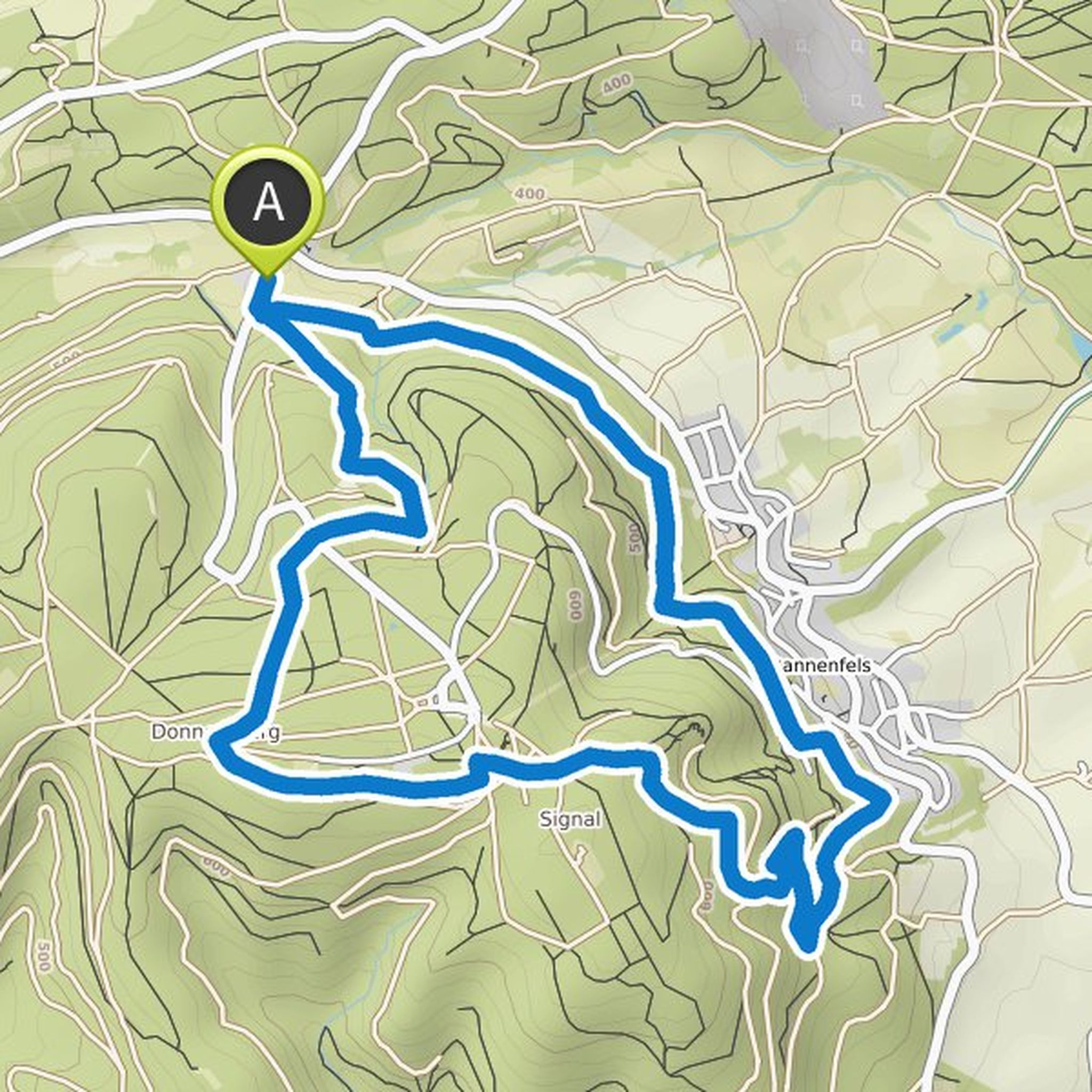
Map data © OpenStreetMap contributors
Thorsten planned a bike ride
September 12, 2021
Time
2h38m
Distance
38.0km
Speed
14.4km/h
Ascent
400m
Descent
400m

Map data © OpenStreetMap contributors
Thorsten planned a hike
July 13, 2021
Time
2h37m
Distance
8.98km
Speed
3.4km/h
Ascent
240m
Descent
240m

Map data © OpenStreetMap contributors
August 10, 2025
It's a truly beautiful hike, and the Schmalstein Hut deserves top marks. However, it's important to note the trail's accessibility:
There are sections with gradients of approximately 10%, some of which are on loose ground. Especially in the first half, there are sandstone steps of 40cm or more. Some of
Translated by Google •