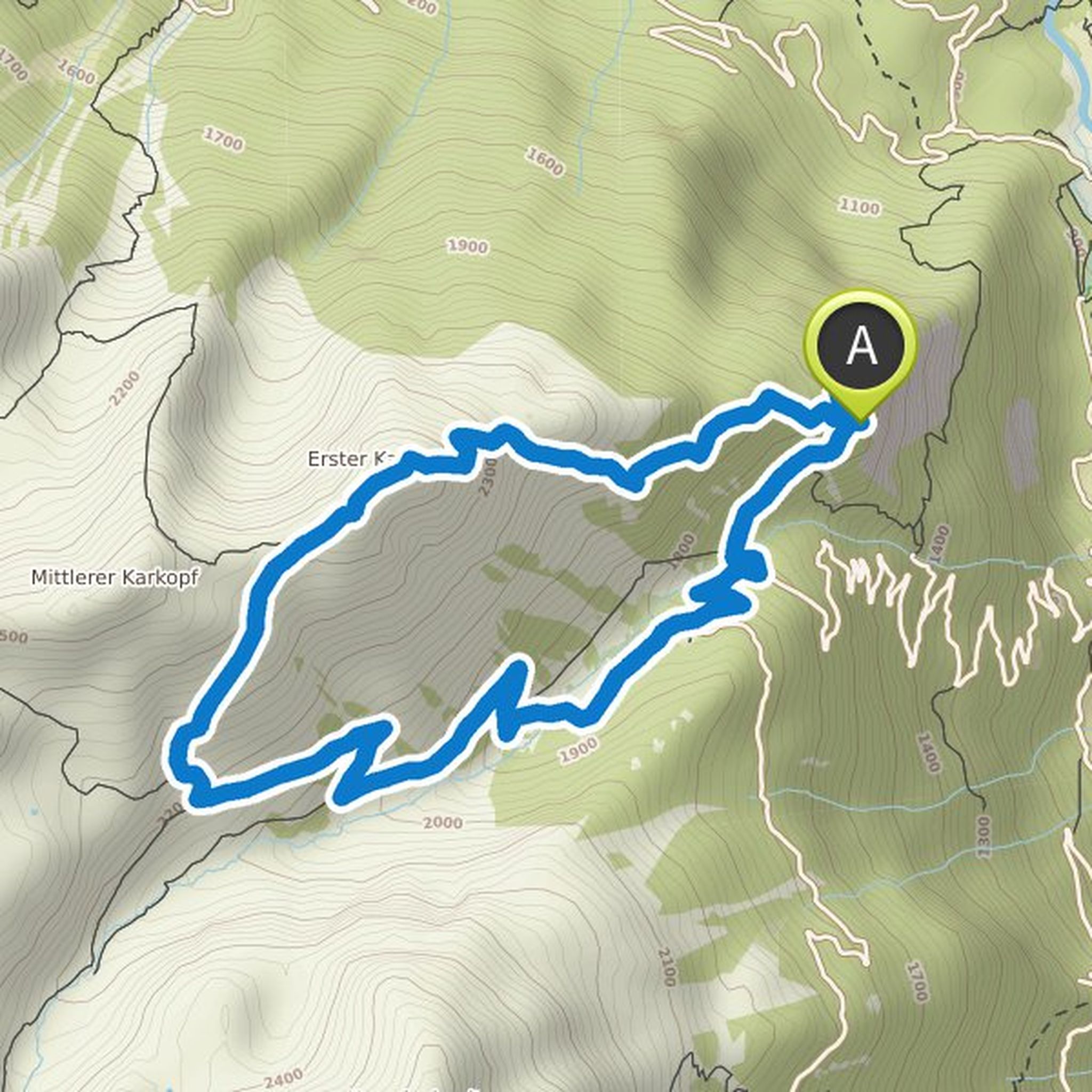
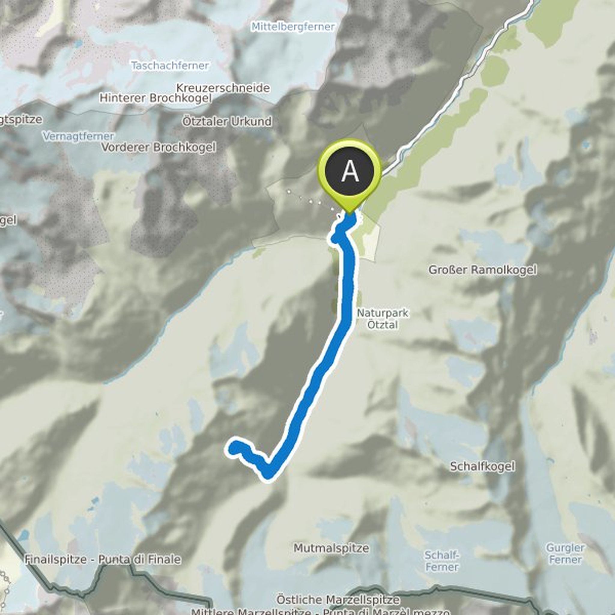
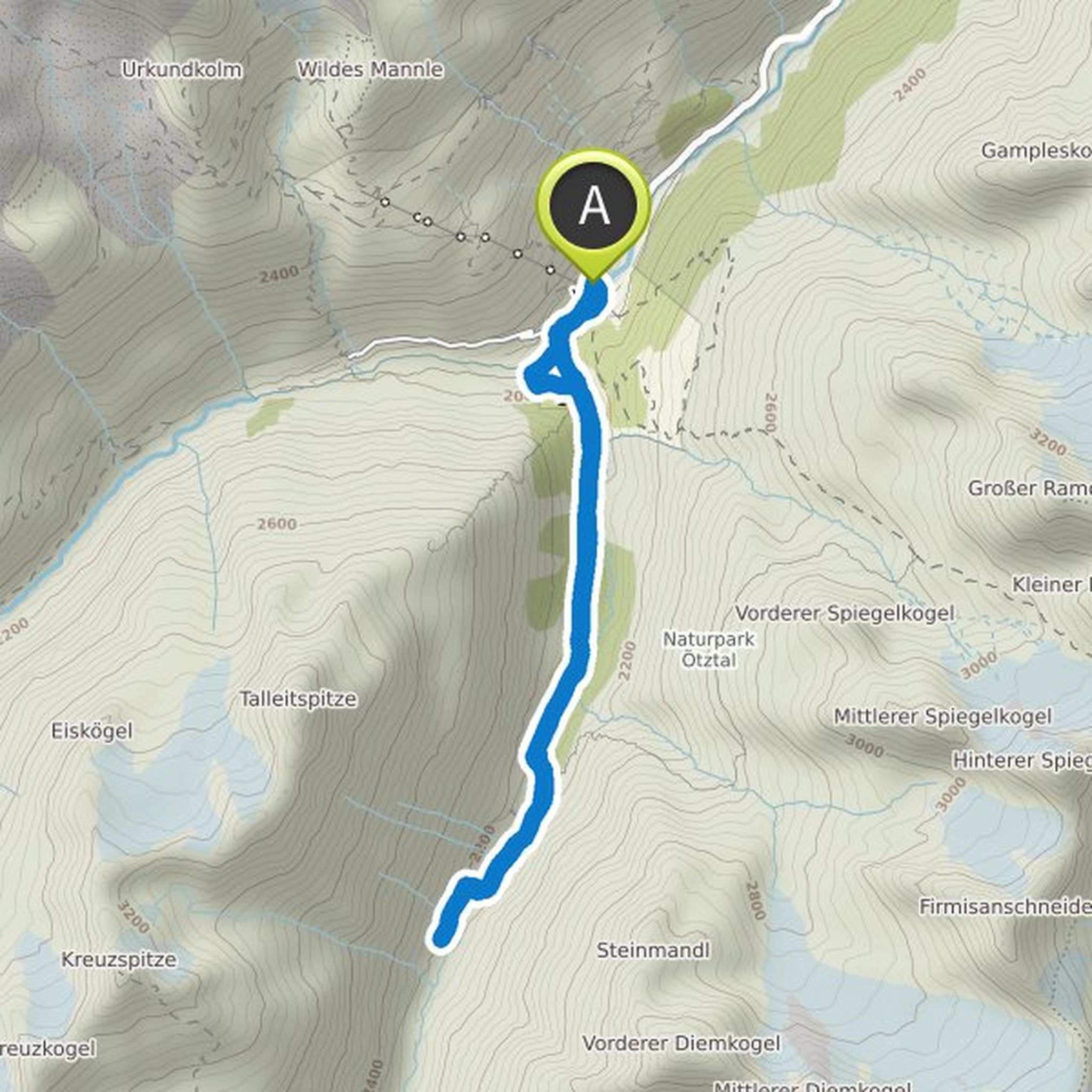
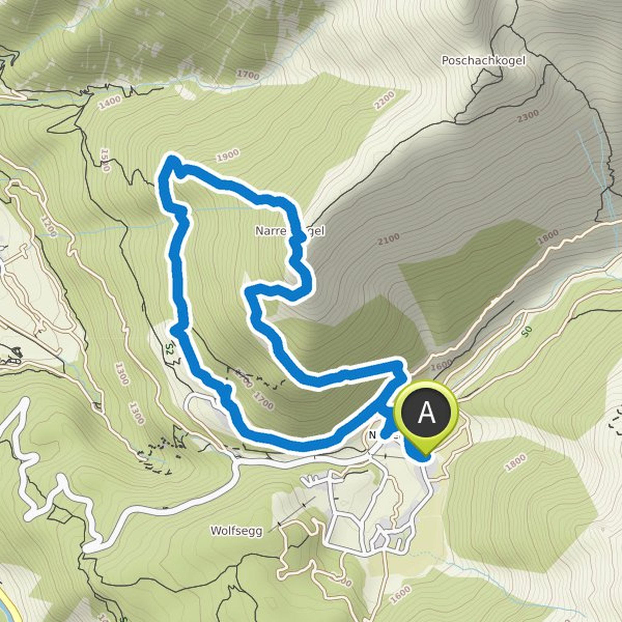
Timeline
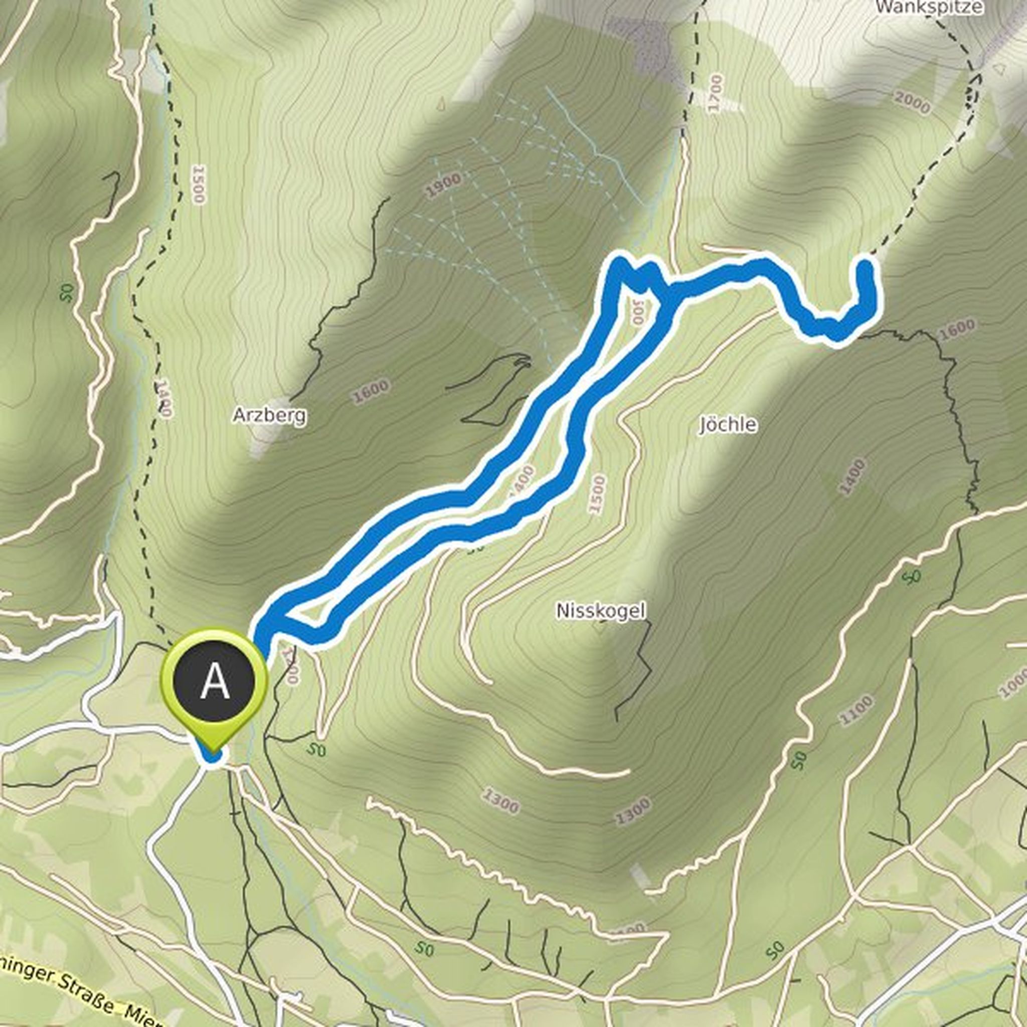
Andrea M.-L. planned a hike
June 5, 2022
Time
Distance
Speed
Ascent
Descent
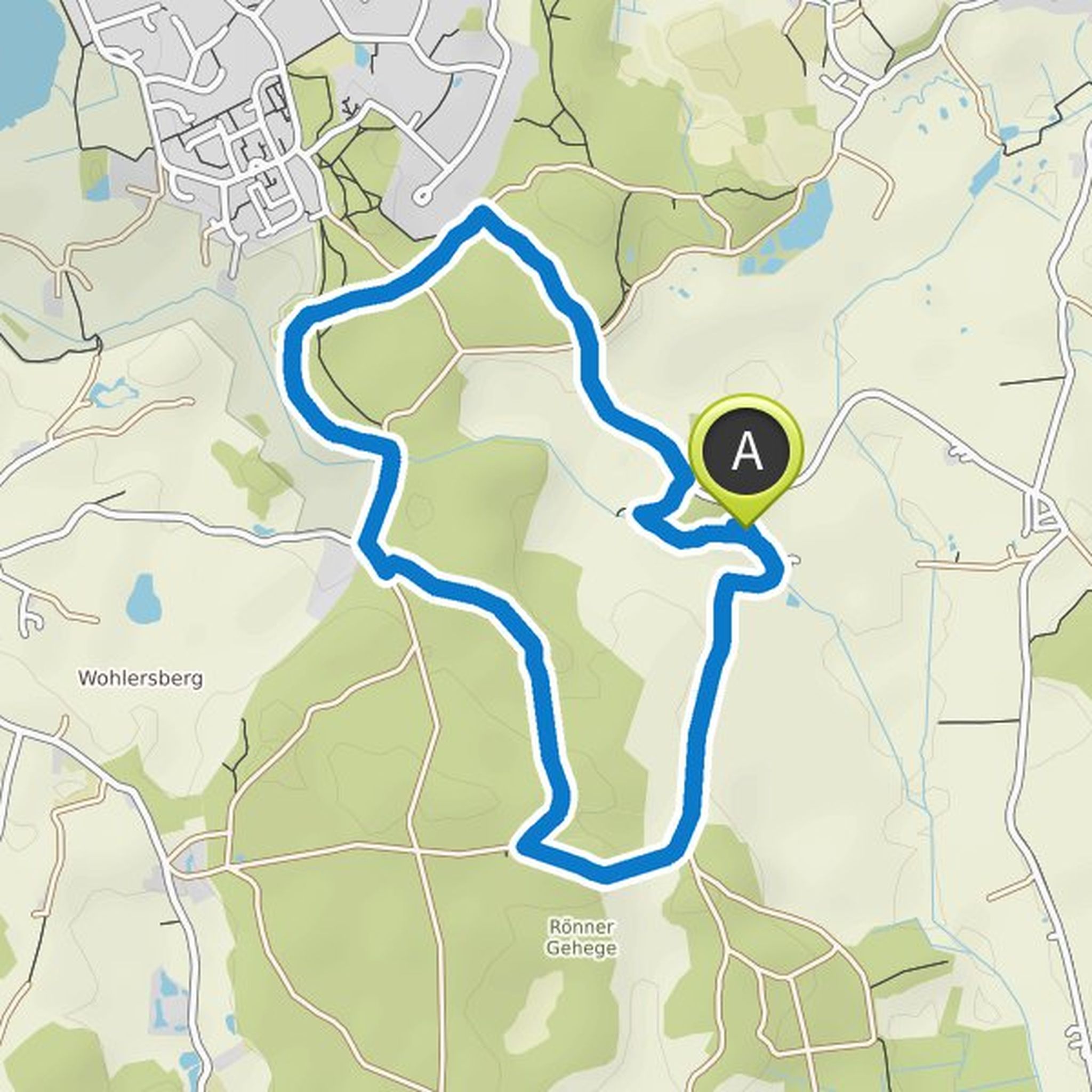
Andrea M.-L. planned a hike
May 29, 2022
Time
Distance
Speed
Ascent
Descent
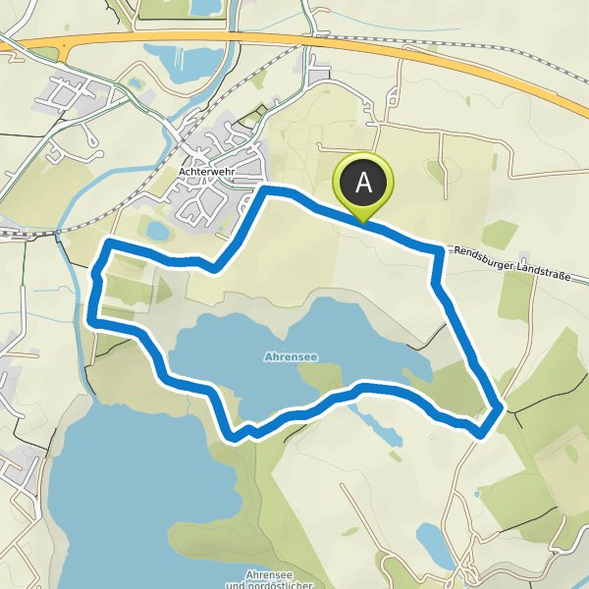
Andrea M.-L. planned a hike
May 8, 2022
Time
Distance
Speed
Ascent
Descent
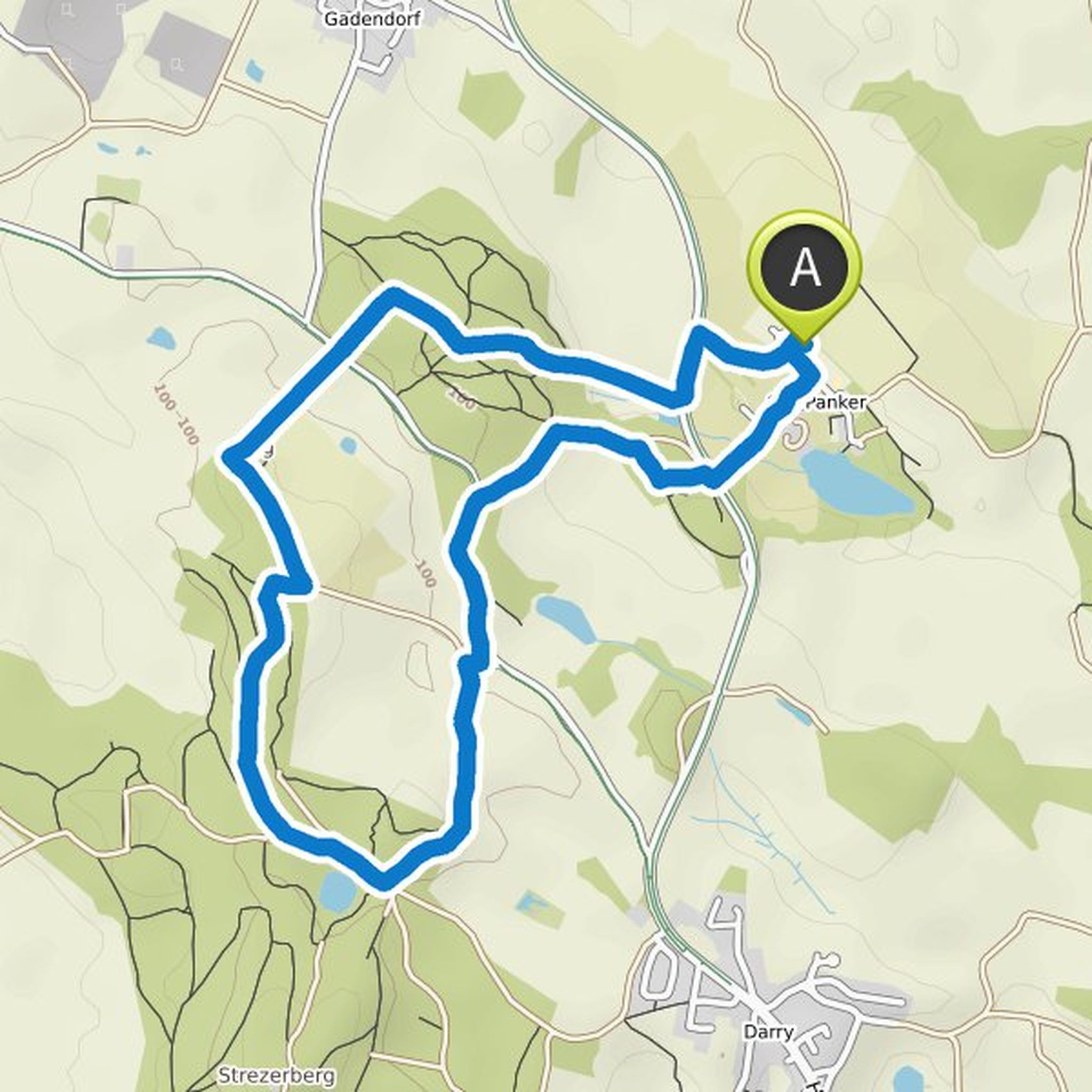
Andrea M.-L. planned a hike
May 1, 2022
Time
Distance
Speed
Ascent
Descent
Andrea M.-L. planned a hike
January 9, 2022
Time
Distance
Speed
Ascent
Descent

Andrea M.-L. planned a hike
January 3, 2022
Time
Distance
Speed
Ascent
Descent
Andrea M.-L. planned a hike
December 19, 2021
Time
Distance
Speed
Ascent
Descent
Andrea M.-L. planned a hike
September 5, 2021
Time
Distance
Speed
Ascent
Descent
Andrea M.-L. planned a hike
July 21, 2021
Time
Distance
Speed
Ascent
Descent
Andrea M.-L. planned a hike
July 19, 2021
Time
Distance
Speed
Ascent
Descent

Andrea M.-L. planned a hike
July 16, 2021
Time
Distance
Speed
Ascent
Descent
Andrea M.-L. planned a hike
July 16, 2021
Time
Distance
Speed
Ascent
Descent
Andrea M.-L. planned a hike
July 16, 2021
Time
Distance
Speed
Ascent
Descent

Andrea M.-L. planned a hike
July 15, 2021
Time
Distance
Speed
Ascent
Descent
Andrea M.-L. planned a hike
July 13, 2021
Time
Distance
Speed
Ascent
Descent