Timeline
BettZippel planned a hike
January 16, 2021
Time
1h04m
Distance
4.15km
Speed
3.9km/h
Ascent
20m
Descent
20m

Map data © OpenStreetMap contributors
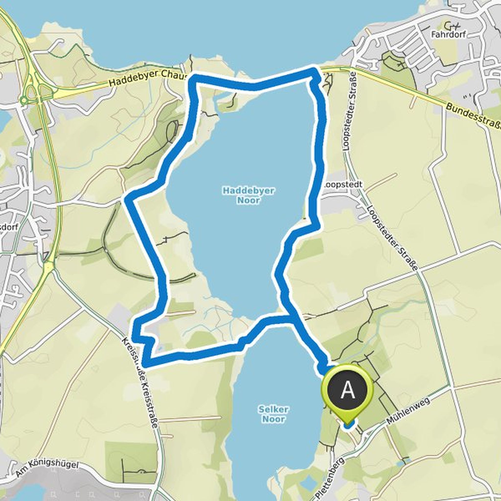
BettZippel planned a hike
November 12, 2020
Time
2h52m
Distance
11.1km
Speed
3.9km/h
Ascent
50m
Descent
60m

Map data © OpenStreetMap contributors
BettZippel and Andrea planned a hike
November 12, 2020
Time
2h31m
Distance
9.60km
Speed
3.8km/h
Ascent
70m
Descent
70m

Map data © OpenStreetMap contributors
BettZippel planned a hike
October 3, 2020
Time
4h43m
Distance
14.5km
Speed
3.1km/h
Ascent
510m
Descent
510m

Map data © OpenStreetMap contributors
BettZippel planned a hike
April 26, 2020
Time
2h08m
Distance
8.24km
Speed
3.8km/h
Ascent
50m
Descent
50m
Map data © OpenStreetMap contributors
Sonja und Gladis 🐞🦋🐝 likes this.
BettZippel planned a hike
April 17, 2020
Time
2h48m
Distance
10.6km
Speed
3.8km/h
Ascent
100m
Descent
100m

Map data © OpenStreetMap contributors
BettZippel planned a hike
April 11, 2020
Time
3h07m
Distance
11.9km
Speed
3.8km/h
Ascent
90m
Descent
90m

Map data © OpenStreetMap contributors
Sonja und Gladis 🐞🦋🐝 likes this.
May 10, 2020
Hello Betti,
just start running! Start small and circle Rümland and Methor ponds. Doesn't have to be the giant round. Set the card AT HOME (know what I'm talking about, stood in Aukrug without reception) to "offline" and off you go. You can always shorten it. The map shows you exactly where you are and
Translated by Google •